Skyline to Snow Summit Trail
View Photos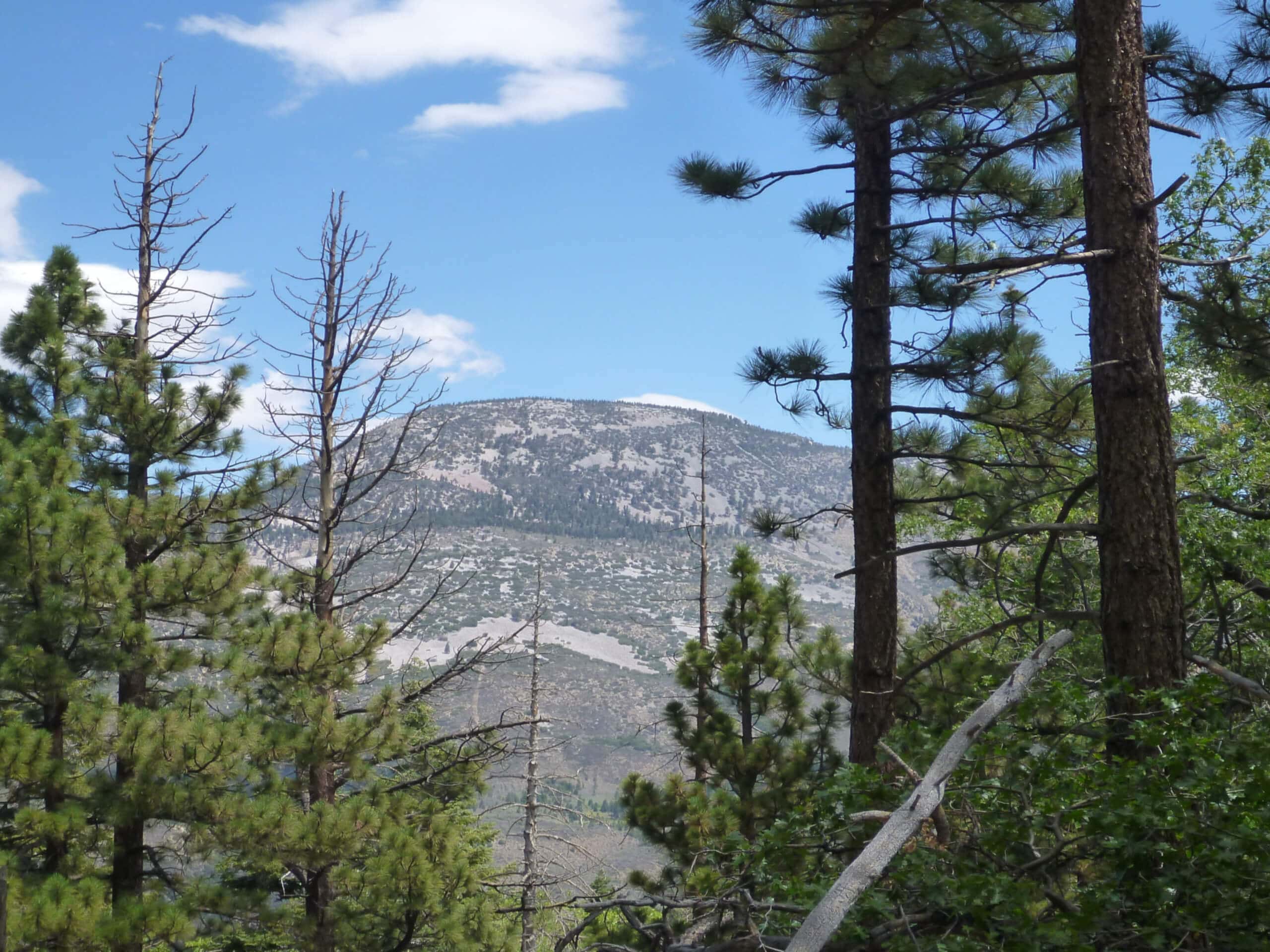
Skyline to Snow Summit Trail
Difficulty Rating:
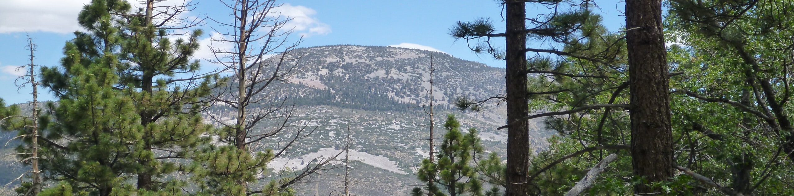
The Skyline to Snow Summit Trail is a wonderful hiking route in the San Bernardino National Forest that will lead you uphill through the woodland terrain to reach the top of a ski hill. While out on the trail, you will work your way through the forest along well-maintained paths, before arriving at the top of Snow Summit for beautiful views of the surrounding landscape. Hikers should also take note that the slopes are popular with mountain bike enthusiasts in the summer, so make sure to keep an eye out and allow others to safely pass.
Getting there
The trailhead for the Skyline to Snow Summit Trail can be found at the end of Dogwood Drive, just southwest of the Bear Mountain Golf Course.

About
| Backcountry Campground | No |
| When to do | April-November |
| Pets allowed | Yes - On Leash |
| Family friendly | Older Children only |
| Route Signage | Average |
| Crowd Levels | Moderate |
| Route Type | Out and back |
Skyline to Snow Summit Trail
Elevation Graph
Weather
Skyline to Snow Summit Trail Description
If you are looking for a fun hiking route in the San Bernardino National Forest that features beautifully scenic views and a moderate amount of elevation gain, but isn’t difficult or technical, then the Skyline to Snow Summit Trail will be a great option to explore.
Setting out from the trailhead, you will make your way into the cover of the forest and head south along a winding path through the tree cover. As you begin making your way uphill, the trail will bend to the southwest and continue through the beautiful woodland landscape, before arriving at the edge of a small lake.
From here, you will continue on to the west for a short distance past some to the chairlifts and ski resort buildings, before arriving at the top of Snow Summit for beautiful views of the surrounding area. After taking in the views, you will follow the same route down the mountain on the return into the trailhead where you began your adventure.
Similar hikes to the Skyline to Snow Summit Trail hike

Bluff Mesa Hike
The Bluff Mesa Hike is a fantastic adventure in Southern California that features a lovely woodland setting and can be…

Palm View Peak Trail
The Palm View Peak Trail is a great hiking route in the San Bernardino National Forest that features a solid…

Cram Peak Ridge Trail
The Cram Peak Ridge Trail is a fantastic, albeit difficult, hiking route in the San Bernardino National Forest that will…
Comments