Mill Peak Trail
View Photos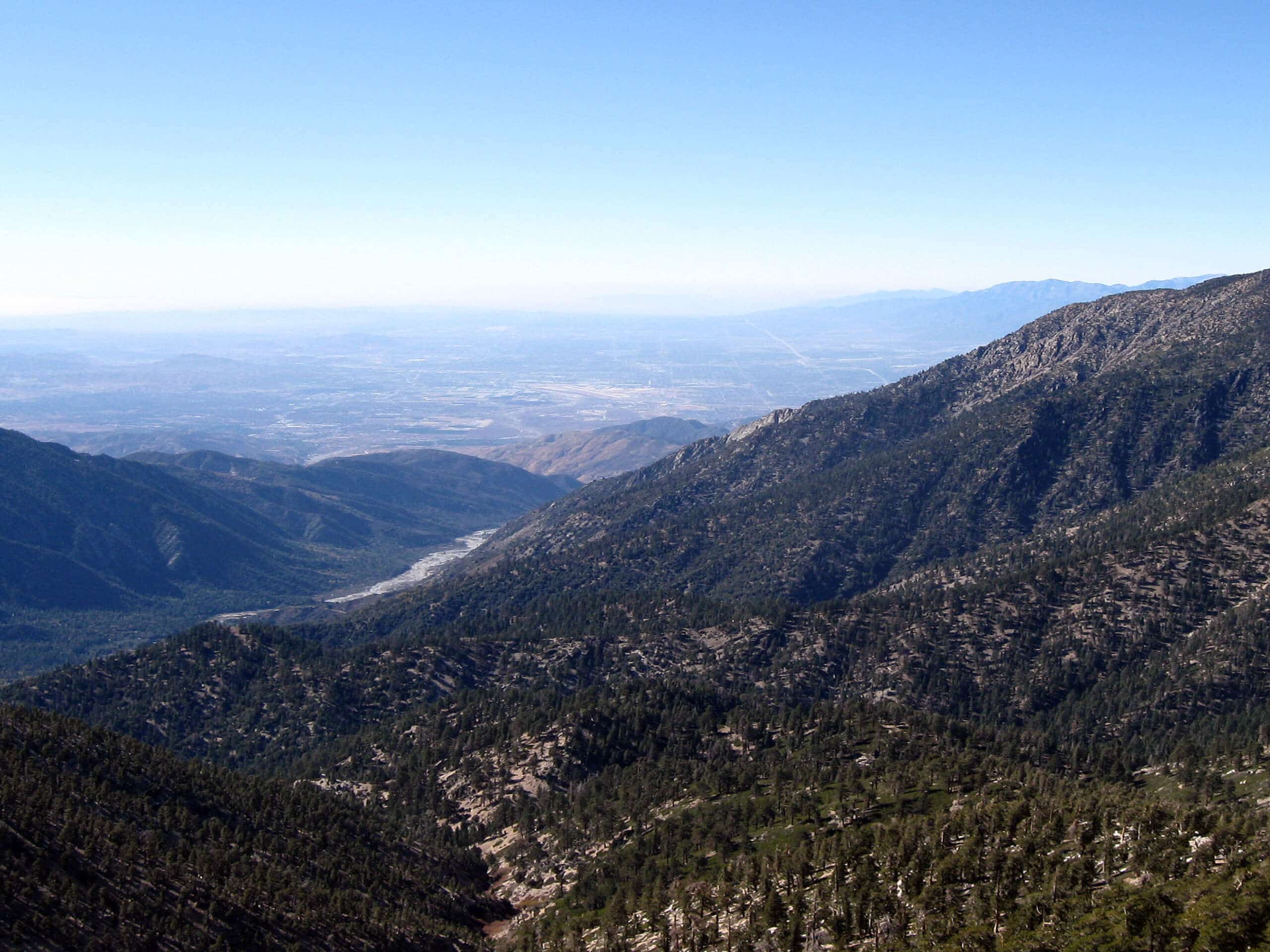
Mill Peak Trail
Difficulty Rating:
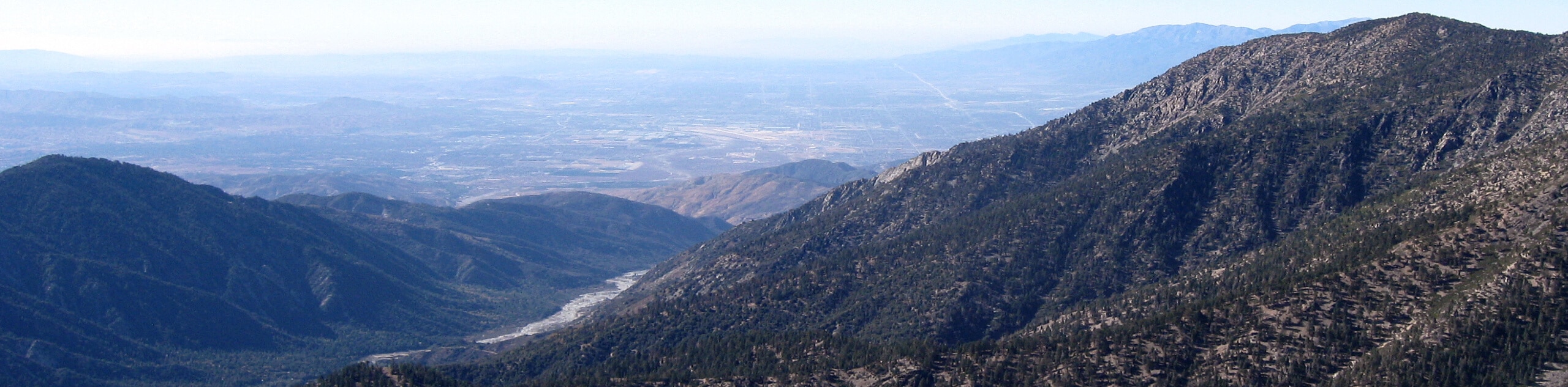
The Mill Peak Trail is a great hiking route in the San Bernardino National Forest that will see you climb uphill for wonderful views of the surrounding peaks. While out hiking the trail, you will navigate through the forest and gain a small amount of elevation, before coming to the summit of Mill Peak. This is a great route for casual hikers to explore the beauty of Southern California.
Getting there
The starting point for the Mill Peak Trail can be found at the Deer Lick Fire Station, just off CA-18 in Running Springs.

About
| Backcountry Campground | No |
| When to do | March-November |
| Pets allowed | Yes - On Leash |
| Family friendly | Older Children only |
| Route Signage | Poor |
| Crowd Levels | Moderate |
| Route Type | Lollipop |
Mill Peak Trail
Elevation Graph
Weather
Mill Peak Trail Description
If you are after a short, but beautifully scenic route near Big Bear Lake, California that features a small amount of elevation gain, then you will certainly enjoy the Mill Peak Trail. Just be sure to bring a GPS or trail map, as the trail can be a bit tricky to navigate with its intersecting paths.
This route will take you from the edge of CA-18 on an uphill climb through woodlands and over winding creeks to reach the summit of Mill Peak, where you will enjoy wonderful views of the Southern California landscape. After taking in the views, the trail will loop around and descend back through the forest on the return leg into the trailhead where you started.
Similar hikes to the Mill Peak Trail hike

Bluff Mesa Hike
The Bluff Mesa Hike is a fantastic adventure in Southern California that features a lovely woodland setting and can be…

Palm View Peak Trail
The Palm View Peak Trail is a great hiking route in the San Bernardino National Forest that features a solid…

Cram Peak Ridge Trail
The Cram Peak Ridge Trail is a fantastic, albeit difficult, hiking route in the San Bernardino National Forest that will…
Comments