2N13 Trail: Green Valley Campground to Fawnskin
View Photos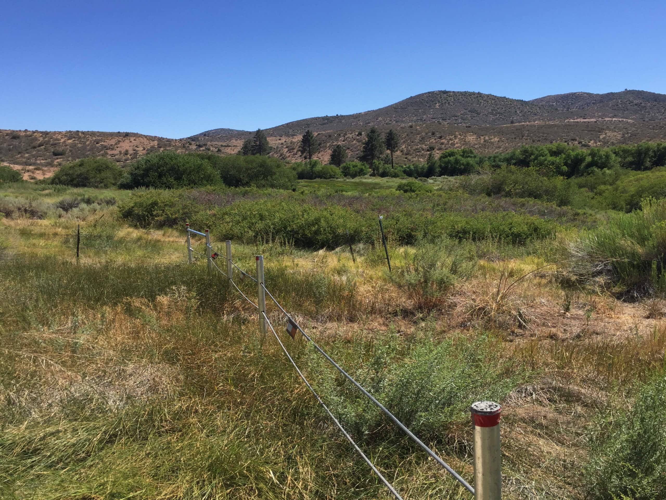
2N13 Trail: Green Valley Campground to Fawnskin
Difficulty Rating:
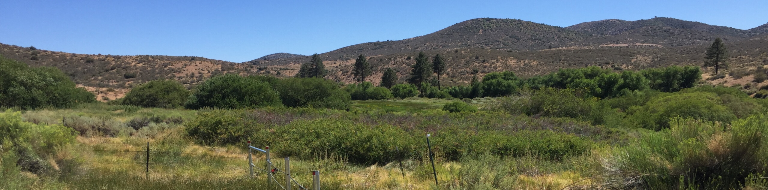
The 2N13 Trail: Green Valley Campground to Fawnskin is a fun adventure through the San Bernardino Mountains that utilizes a forest service road to easily traverse the rugged mountain terrain. While out hiking the trail, you will steadily gain elevation as you climb through the forest and enjoy views of nearby peaks, before arriving at the endpoint of the route. Hikers should take note that this is a one-way trail, so you will need to either arrange a pickup at the endpoint or traverse the entire distance of the trail on the return journey.
Getting there
The trailhead for the 2N13 Trail: Green Valley Campground to Fawnskin can be found at the Green Valley Campground along Forest Service Road 2N13.

About
| Backcountry Campground | Green Valley Campground, Gray’s Peak Group Campground |
| When to do | May-November |
| Pets allowed | Yes |
| Family friendly | Older Children only |
| Route Signage | Average |
| Crowd Levels | Low |
| Route Type | One Way |
2N13 Trail: Green Valley Campground to Fawnskin
Elevation Graph
Weather
2N13 Trail: Green Valley Campground to Fawnskin Description
If you are after a bit of a longer hiking route that will allow you to take in the beauty of the Southern California landscape or reconnect with the majesty of nature, the 2N13 Trail: Green Valley Campground to Fawnskin is the quiet trail you have been looking for.
Setting out from the trailhead at the campground, you will follow the forest service road 2N13 as it passes through the woodland landscape to the northeast. Here, you will gradually gain some elevation, as you work your way through the rugged terrain of the San Bernardino Mountains.
After traversing the undulating terrain below Butler Peak, you will pass by the Hanna Rocks on your left and continue on to the northeast. As you make the final approach into the endpoint of the route, you will pass through the Gray’s Peak Group Campground and traverse a final stretch of forest to arrive at the edge of Rim of the World Drive to wrap up your hike.
Similar hikes to the 2N13 Trail: Green Valley Campground to Fawnskin hike

Bluff Mesa Hike
The Bluff Mesa Hike is a fantastic adventure in Southern California that features a lovely woodland setting and can be…

Palm View Peak Trail
The Palm View Peak Trail is a great hiking route in the San Bernardino National Forest that features a solid…

Cram Peak Ridge Trail
The Cram Peak Ridge Trail is a fantastic, albeit difficult, hiking route in the San Bernardino National Forest that will…
Comments