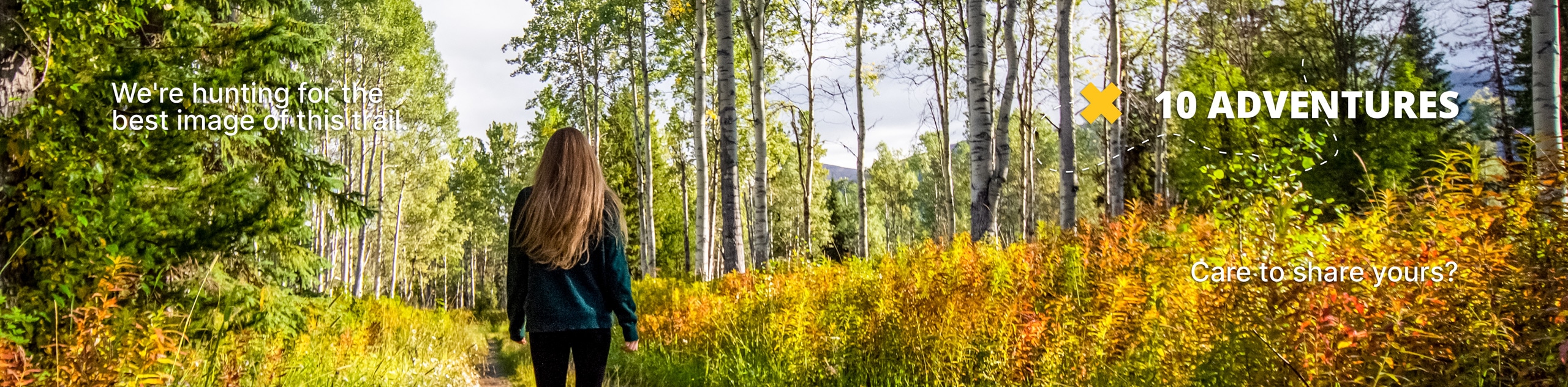
Tunnell Road to Sawmill Trail
View Photos
Tunnell Road to Sawmill Trail
Difficulty Rating:
The Tunnell Road to Sawmill Trail is a quiet hiking route near Lake Arrowhead, CA that climbs uphill through the forest for some nice views. While out hiking the trail, you will pass through some peaceful woodland terrain, before exploring an area with remnants of an old sawmill and views of the surrounding landscape. This route does utilize a forest road for most of its length, so make sure to keep an eye out for passing vehicles and keep to the edge of the road.
Getting there
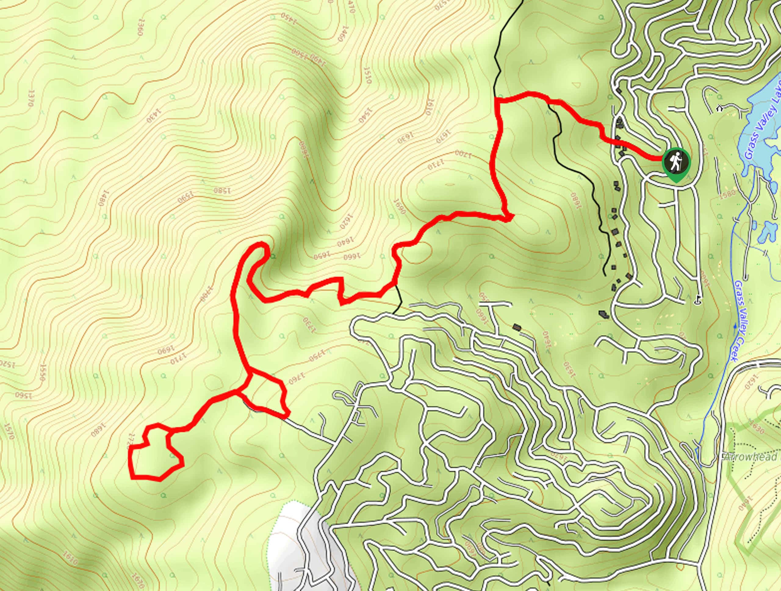
The Tunnell Road to Sawmill Trail can be accessed at the corner of Tunnell Road and Sonoma Drive, just west of the Lake Arrowhead Country Club.

About
| Backcountry Campground | No |
| When to do | Year-Round |
| Pets allowed | Yes |
| Family friendly | Yes |
| Route Signage | Average |
| Crowd Levels | Low |
| Route Type | Lollipop |
Tunnell Road to Sawmill Trail
Elevation Graph
Weather
Tunnell Road to Sawmill Trail Description
For those looking for a relaxing adventure in the San Bernardino Mountains, the Tunnell Road to Sawmill Trail is a great trail that will get you away from the crowds to be surrounded by nature. Hikers should make sure to have a valid adventure pass displayed in their vehicle when setting out on this hike.
Setting out from the trailhead, you will follow Tunnell Road to the northwest through the tree cover, before it bends to the southwest and continues uphill. Here, you will be able to enjoy the lovely woodland surroundings, before arriving at the top of the trail in a densely wooded area.
Take some time to explore and appreciate the beautiful views of the surrounding landscape, while also investigating the remains of an old sawmill. Once you have finished up, follow the same route back downhill to return to the trailhead where you began.
Similar hikes to the Tunnell Road to Sawmill Trail hike

Bluff Mesa Hike
The Bluff Mesa Hike is a fantastic adventure in Southern California that features a lovely woodland setting and can be…

Palm View Peak Trail
The Palm View Peak Trail is a great hiking route in the San Bernardino National Forest that features a solid…

Cram Peak Ridge Trail
The Cram Peak Ridge Trail is a fantastic, albeit difficult, hiking route in the San Bernardino National Forest that will…
Comments