Pine Knoll and Skyline Ridge Loop Hike
View Photos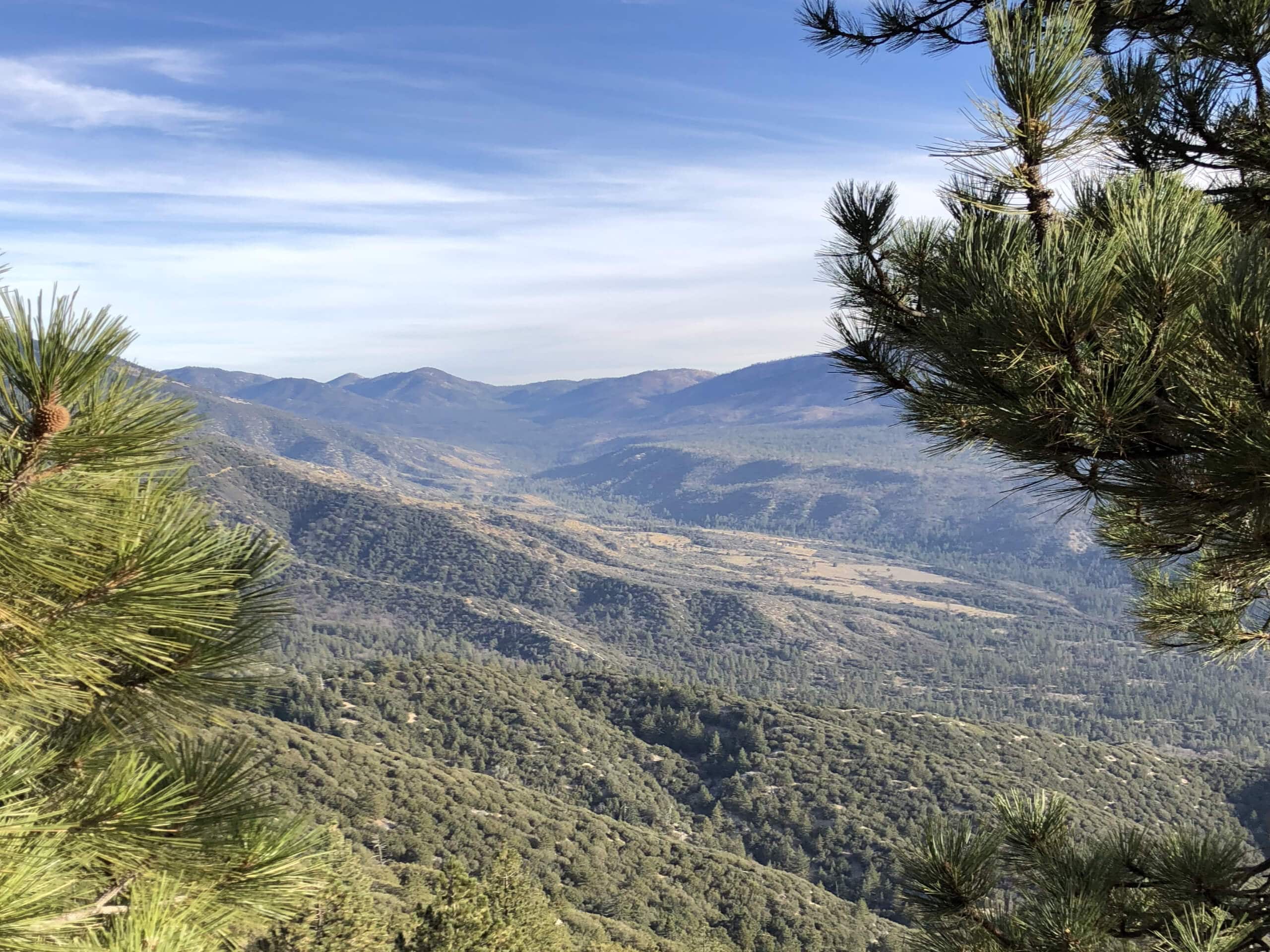
Pine Knoll and Skyline Ridge Loop Hike
Difficulty Rating:
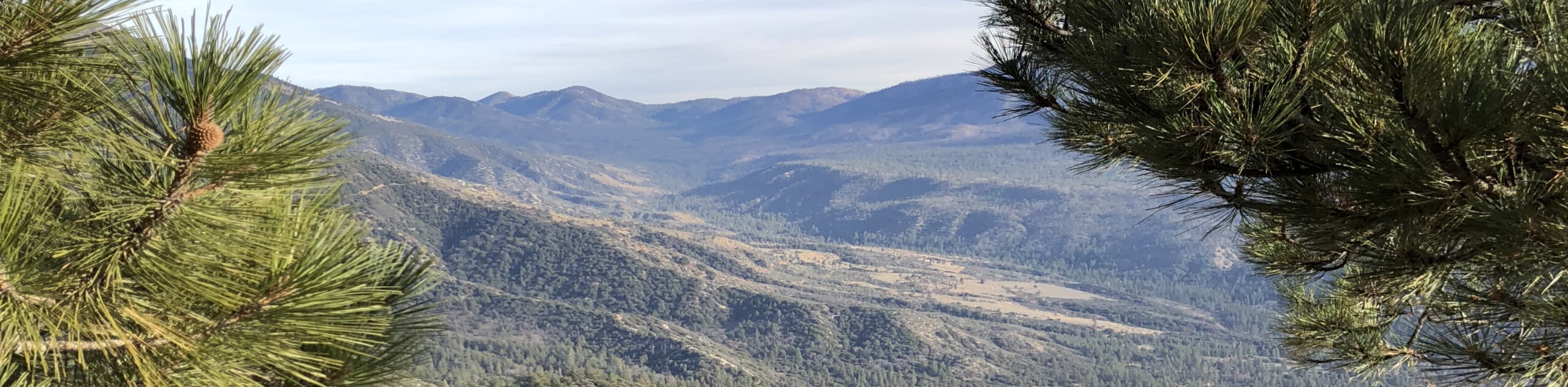
The Pine Knoll and Skyline Ridge Loop Hike is a fantastic trail in the San Bernardino National Forest that features a variety of rugged terrain and scenic views. While out on the trail, you will climb uphill through the forest to reach the stunning vantage points at Skyline Ridge and Grand View Point, before looping around downhill on the return leg into Big Bear Lake. Be sure to have your adventure pass visible on your dash to avoid getting fined while out on your hike!
Getting there
The trailhead for the Pine Knoll and Skyline Ridge Loop Hike can be found along Mill Creek Road at the Aspen Glen Picnic Area in Big Bear Lake.

About
| Backcountry Campground | Yellow Post #25 |
| When to do | April-November |
| Pets allowed | Yes - On Leash |
| Family friendly | Older Children only |
| Route Signage | Average |
| Crowd Levels | Moderate |
| Route Type | Lollipop |
Pine Knoll and Skyline Ridge Loop Hike
Elevation Graph
Weather
Pine Knoll and Skyline Ridge Loop Hike Description
Stunning landscape views and a sense of tranquility await on the Pine Knoll and Skyline Ridge Loop Hike. This fantastic trail offers a moderate overall length and terrain that is challenging enough to be justified by the picturesque scenery, making it a great option for casual hikers and seasoned adventurers alike.
Setting out from the trailhead in Big Bear Lake, you will pass through the Aspen Glen Picnic Area and make your way to the southwest, traversing the undulating landscape as you enjoy the peaceful forest scenery. After passing by the Yellow Post #25 campsite, the route will turn more directly to the south and eventually bring you to Skyline ridge.
Here, you will turn your direction to the northeast while walking along the ridge, enjoying the scenic views of the surrounding mountain peaks and the Santa Ana River Valley below. Taking a path on your right, you will head out to Grand View Point for some even more incredible views of the Southern California landscape, before turning back along the trail for the final leg. Descending through the forest landscape to the north, you will eventually arrive back at the trailhead where you began your journey.
Similar hikes to the Pine Knoll and Skyline Ridge Loop Hike hike

Bluff Mesa Hike
The Bluff Mesa Hike is a fantastic adventure in Southern California that features a lovely woodland setting and can be…

Palm View Peak Trail
The Palm View Peak Trail is a great hiking route in the San Bernardino National Forest that features a solid…

Cram Peak Ridge Trail
The Cram Peak Ridge Trail is a fantastic, albeit difficult, hiking route in the San Bernardino National Forest that will…
Comments