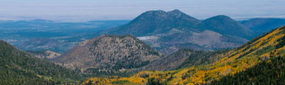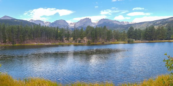
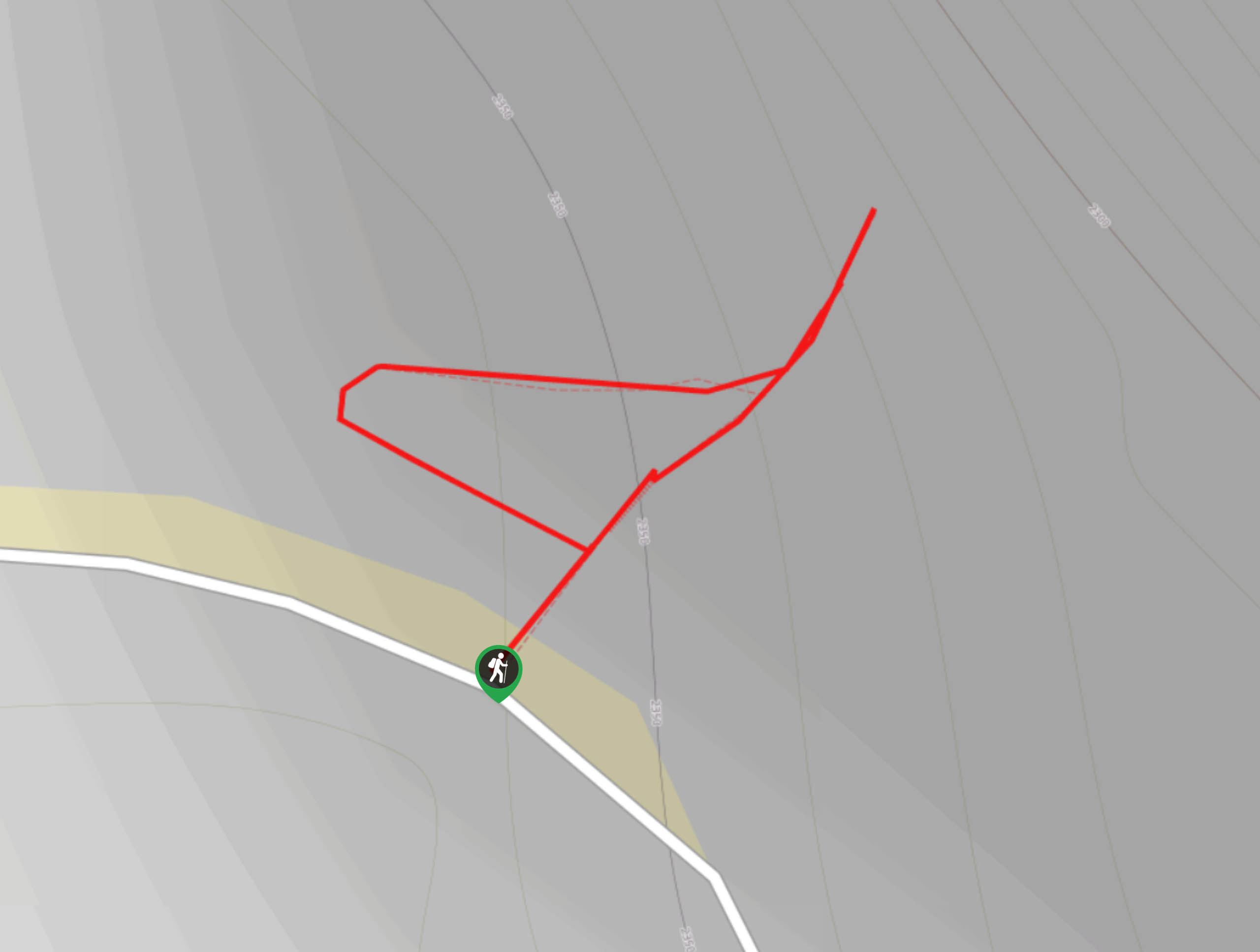
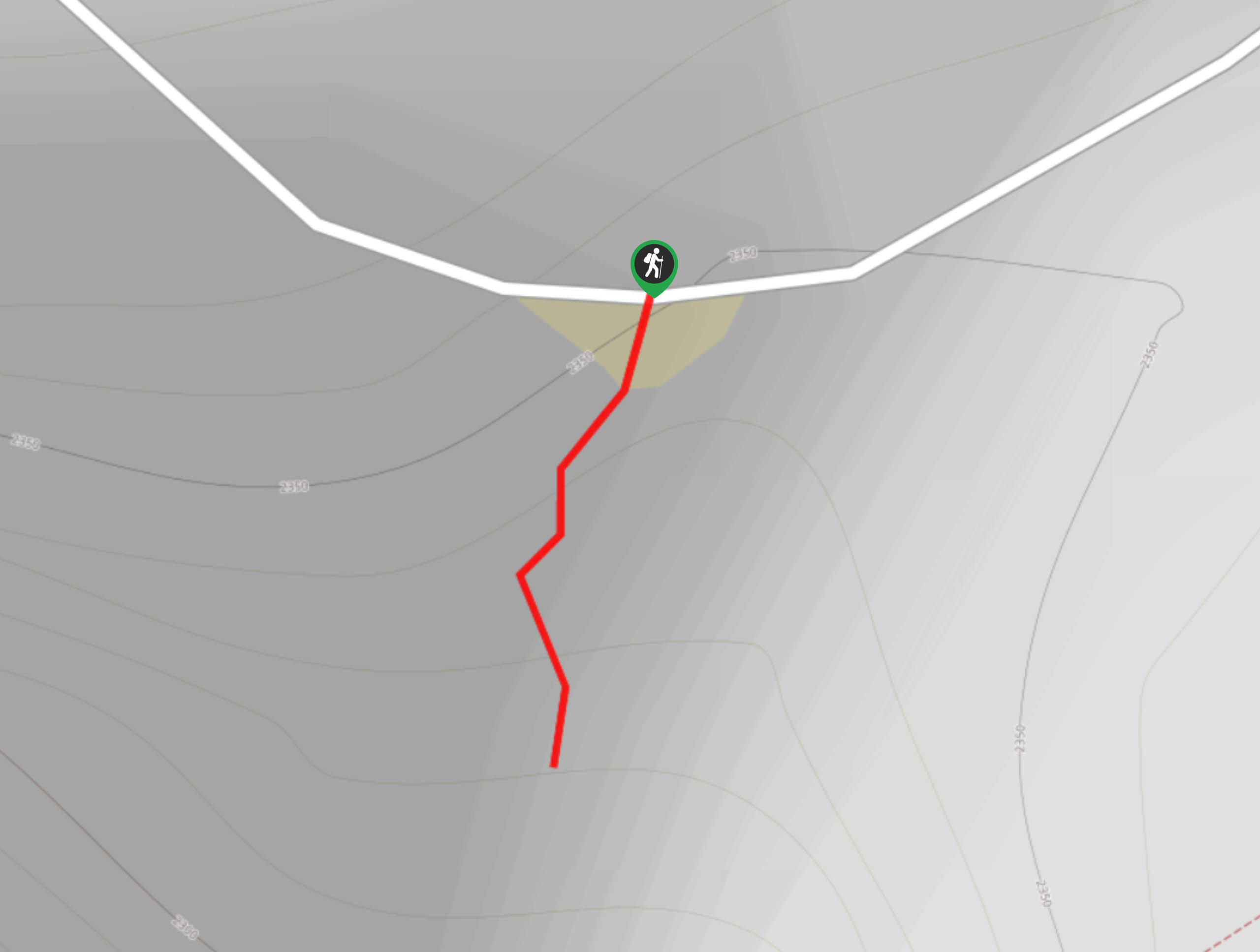
hikes in Black Canyon of the Gunnison National Park
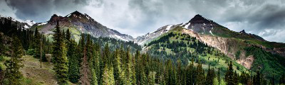
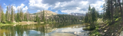
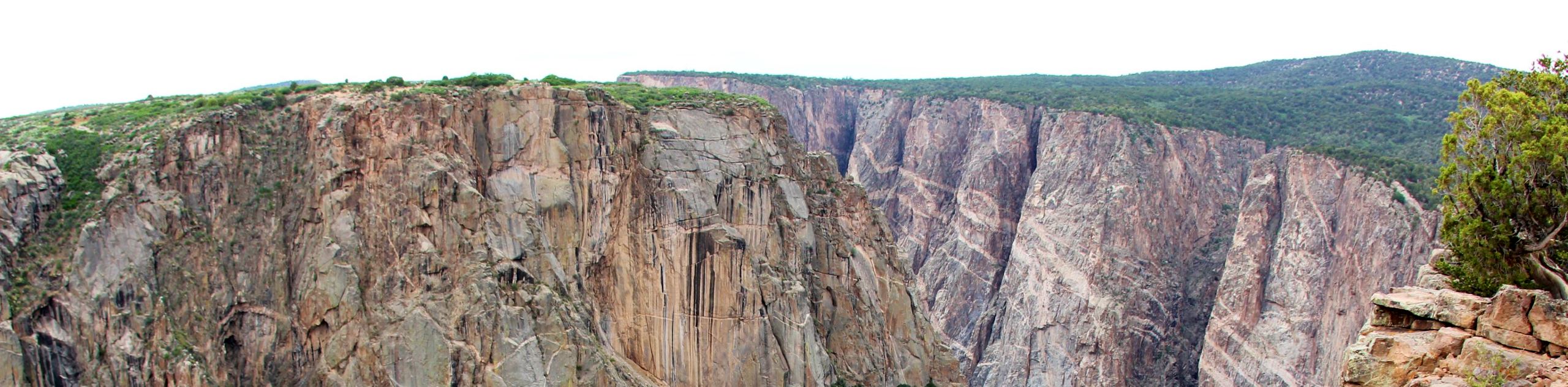
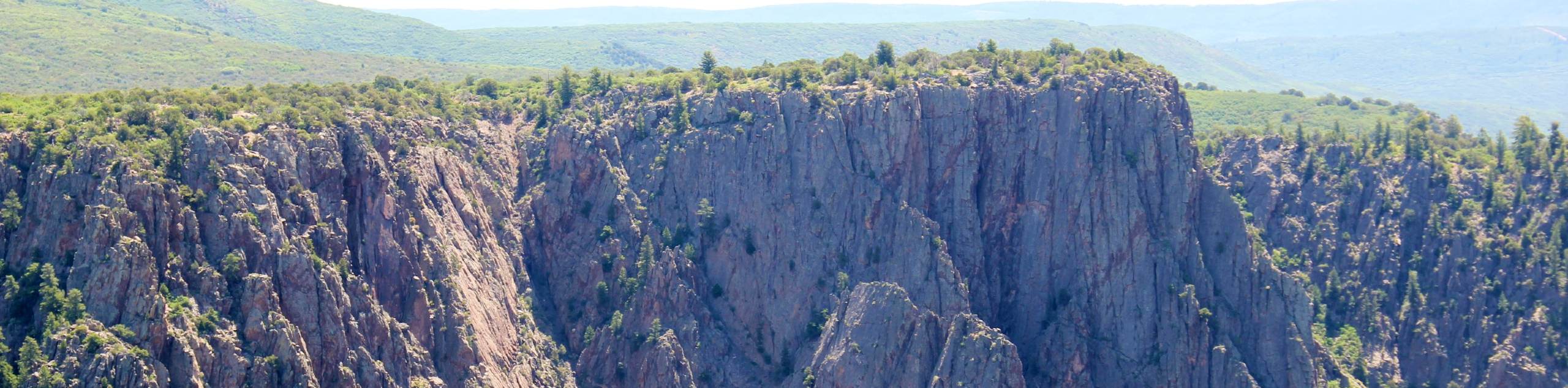
Hikes within the Black Canyon of the Gunnison National Park are perfectly balanced between family-friendly overlooks and technical scrambles into the canyon. Enjoy the lush Colorado vegetation or hike along the Black Canyon’s rocky edge.
The scenic overlook trails are flat, short and easy to navigate as you approach the precipice of the cliff. Inland trails see more undulations and elevation gain but are manageable for novice hikers. In contrast, the inner canyon routes should only be attempted by experienced hikers who possess the proper equipment. Nevertheless, the Black Canyon of the Gunnison National Park has trails for inexperienced hikers and avid adventurers alike.
The 10 Most Scenic Trails in the Black Canyon of the Gunnison National Park
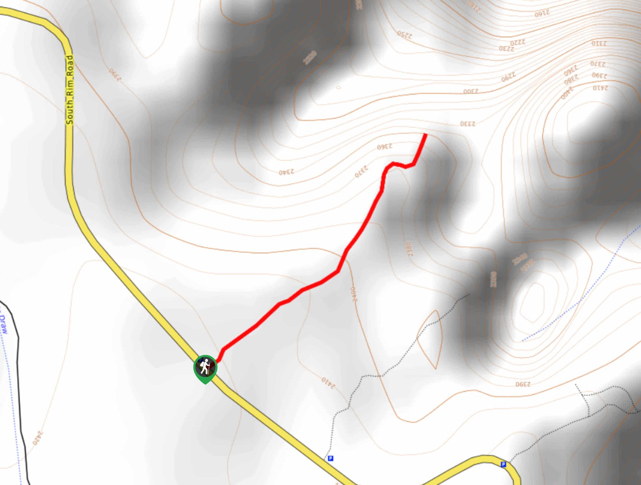
- Exclamation Point - The Exclamation Point Trail is one of our favorite hikes in the park. Track along sagebrush meadows and border the cliffs edge as you near one of most incredible and dizzying overlooks of the canyon. This trail is relatively easy, and it is a great way to introduce kids to the joys of hiking. Enjoy the panoramic views of the steep walled gorge from the lookout and listen for sounds of the Gunnison River below.
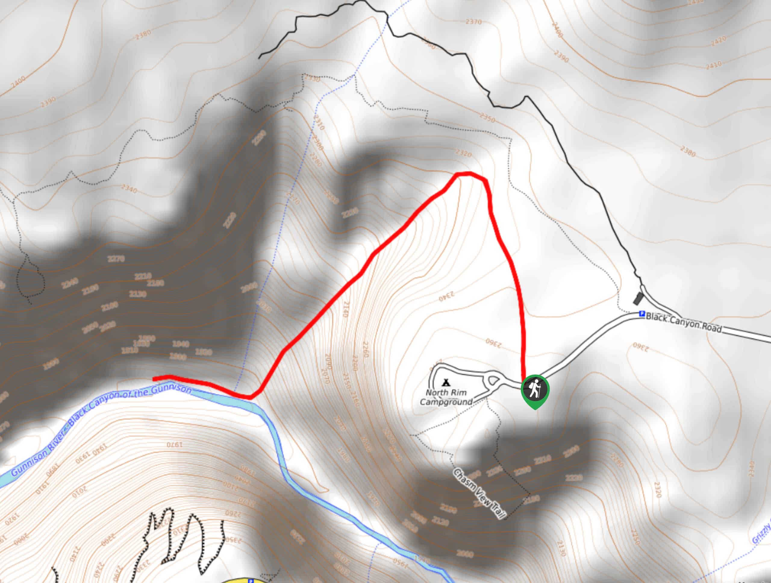
- Chasm View Trail - The Chasm View Trail is one of the park's most popular scenic outlooks on the North Rim. Hike the short, family-friendly trail to the overlook where unparalleled vistas of the chasm and Painted Wall await you. Make sure you bring your camera or charge your phone because you are going to want pictures of this.
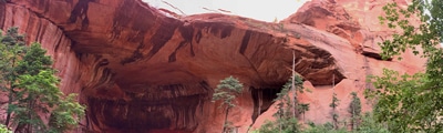
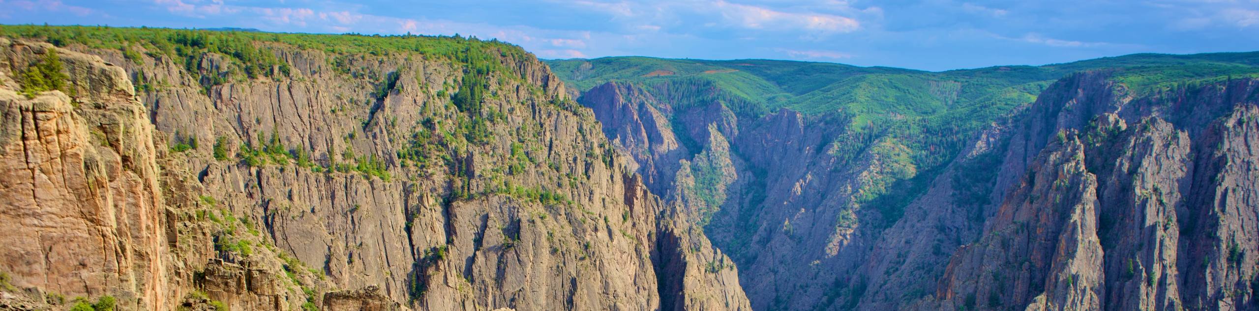
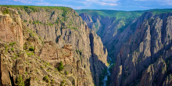
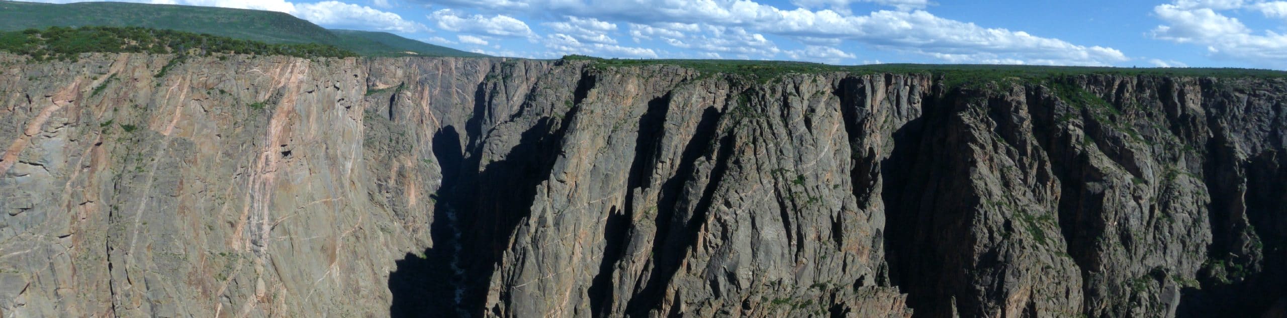
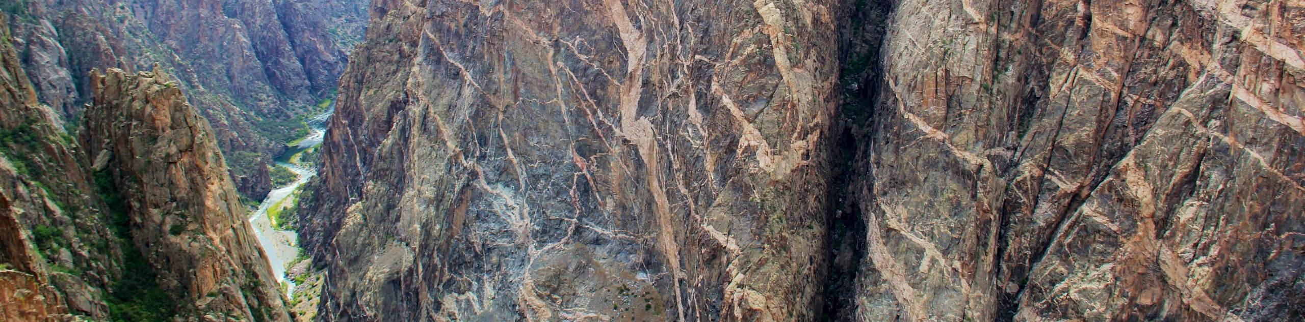
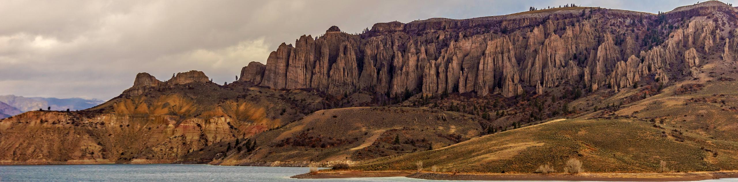
- Painted Wall Trail - The Painted Wall is one of the most well-known and most photographed cliffs in the Black Canyon of Gunnison. This short path will guide you to a viewing area where dumbfounding panoramas of the marbled cliff encompass you. This natural wonder is sure to impress visitors of any age. From river to rim Colorado’s tallest cliff is woven with white ribbons, resembling as though someone had meticulously painted them on.
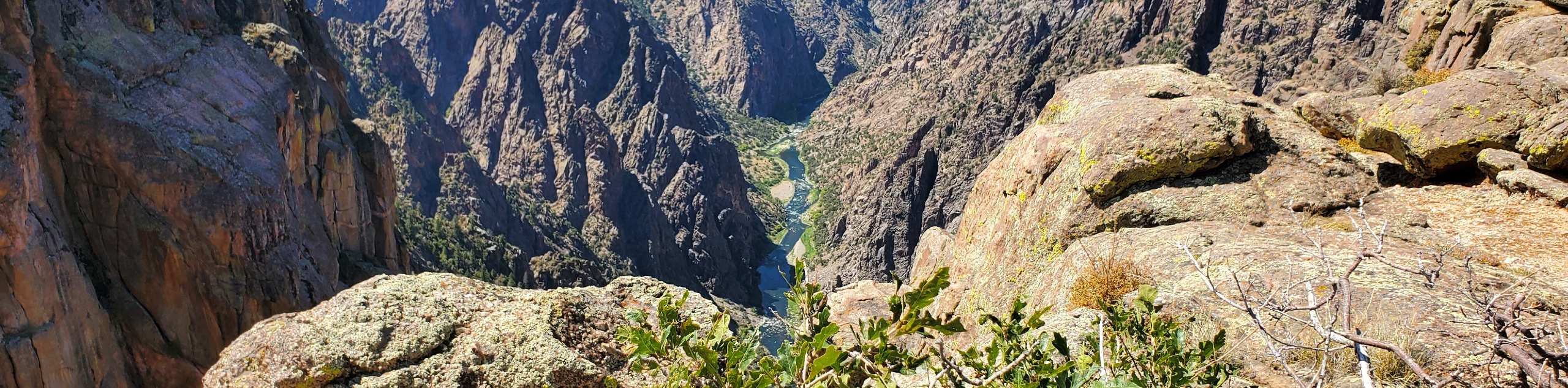
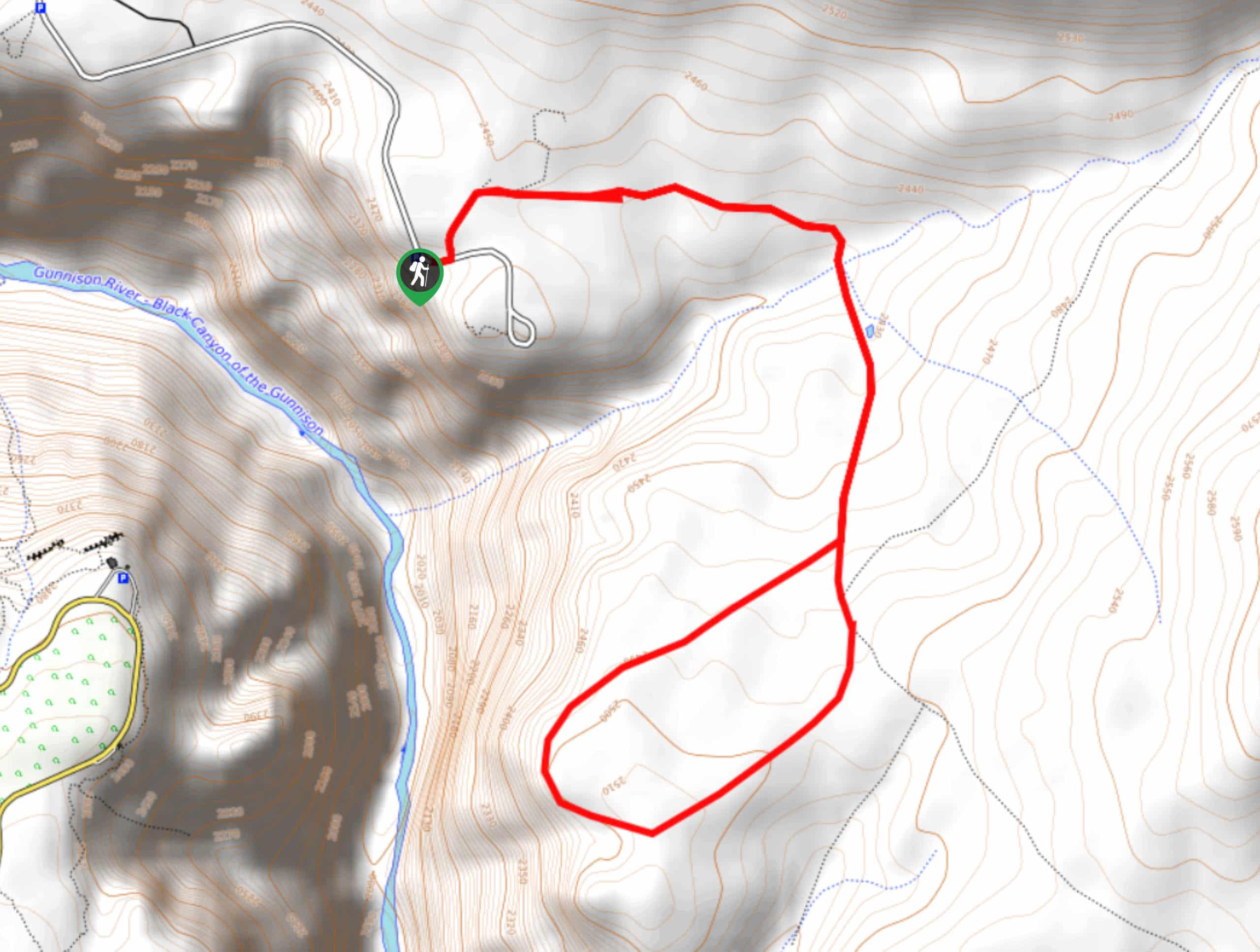
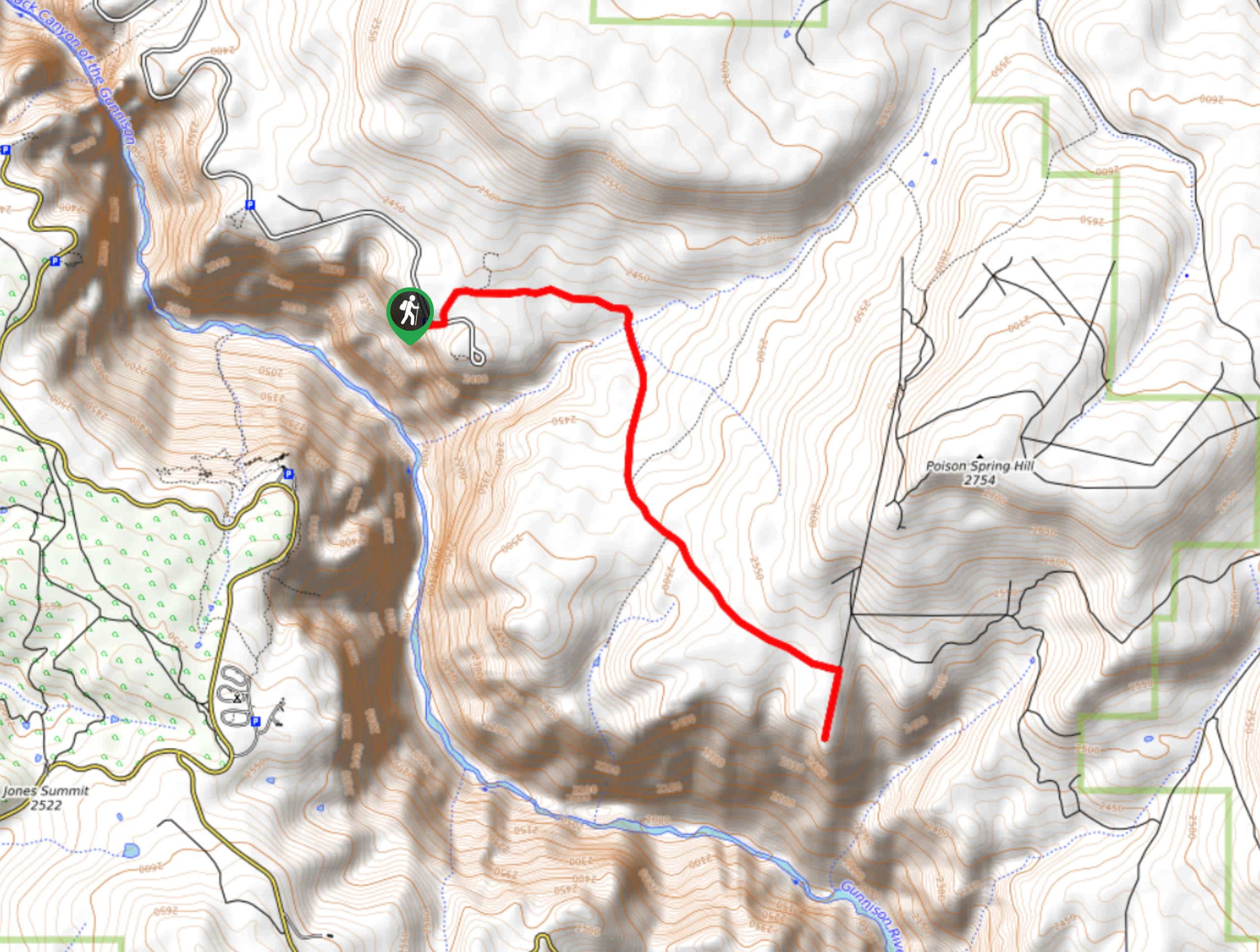
- Gunnison Route Hike - Get your daily dose of adrenaline and then some when you hike the Gunnison Route Trail. This inner canyon hike traverses technical terrain and will be challenging to even the most experienced adventurers. Navigate loose rocky screes and tightly wound switchbacks as you descend the canyon's edge to the Gunnison River. This hike is not for the faint of heart, but man, is it fun.
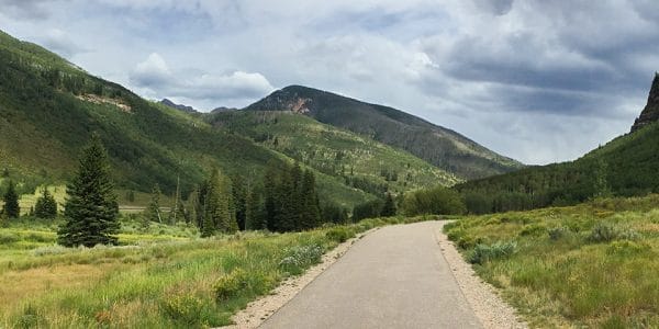
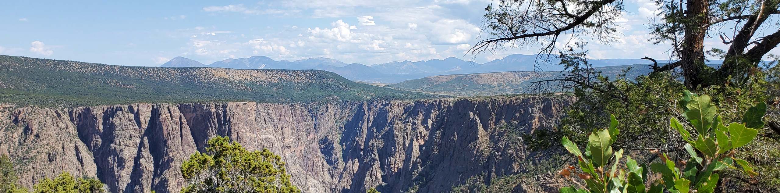
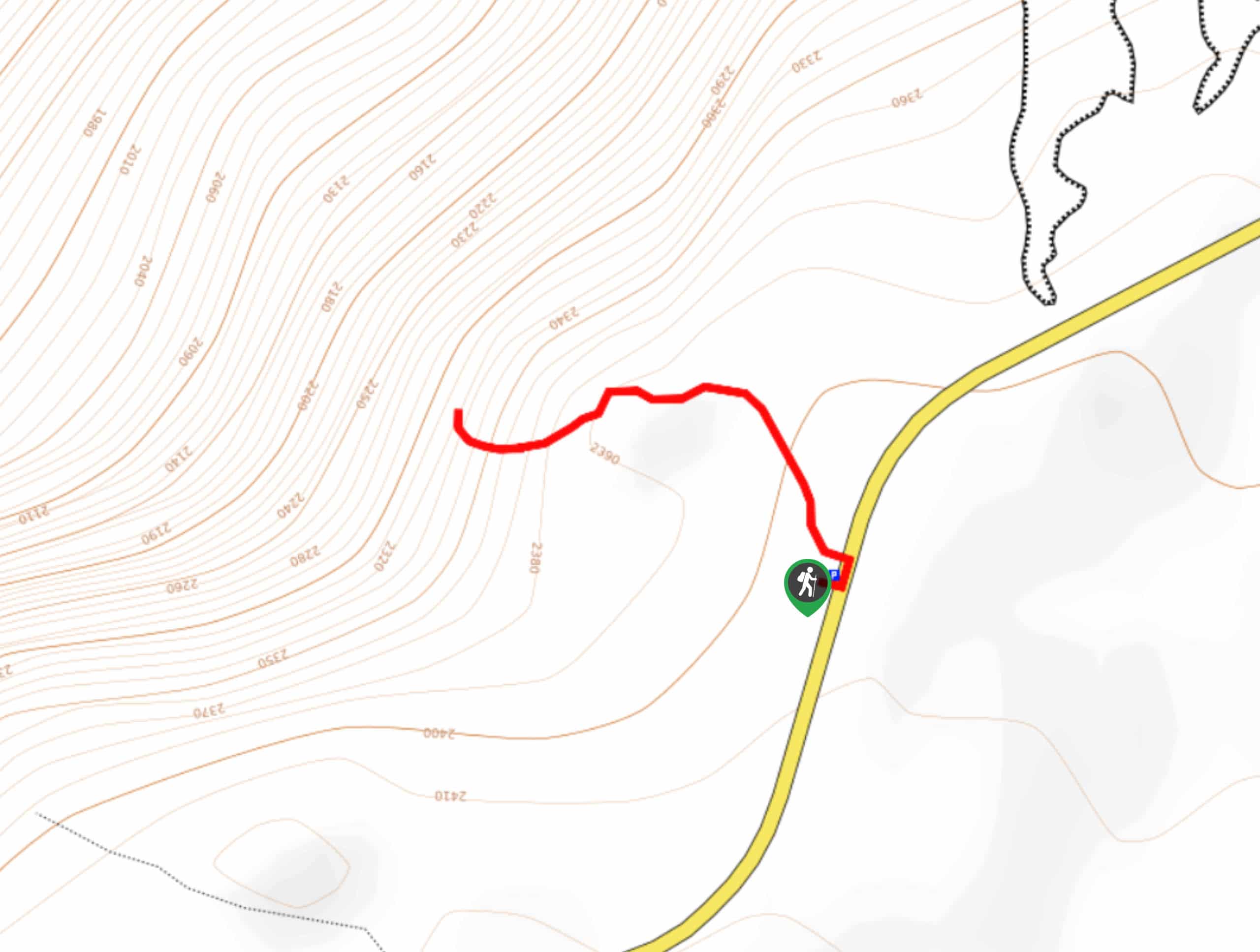
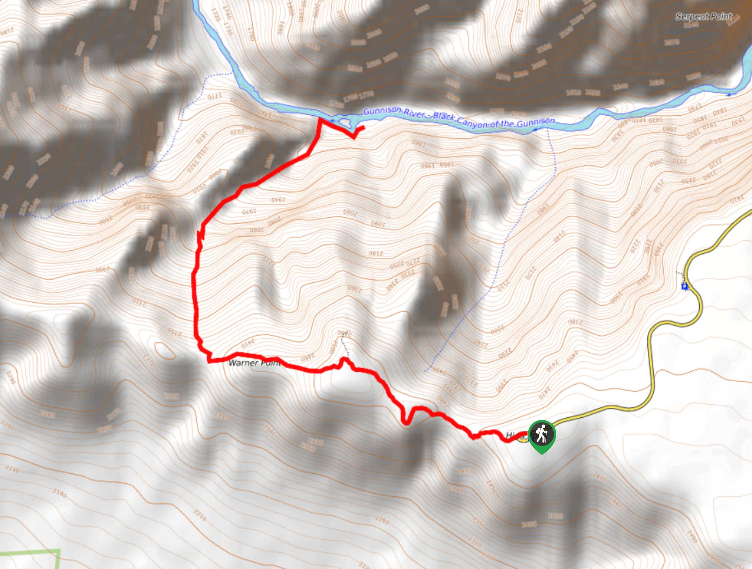
- Warner Point Trail - The Warner Point Trail is a scenic walk along the Black Canyon’s South Rim. Wind through the lush aspen forest and out past a sagebrush and juniper flat to a lookout point. This hike is a great introductory hike to the Black Canyon Wilderness and is suited for adventurers of all skill-levels and families. Enjoy sights of the West Elk Mountain Range, San Juan Range and the Black Canyon all from the trail’s overlook.
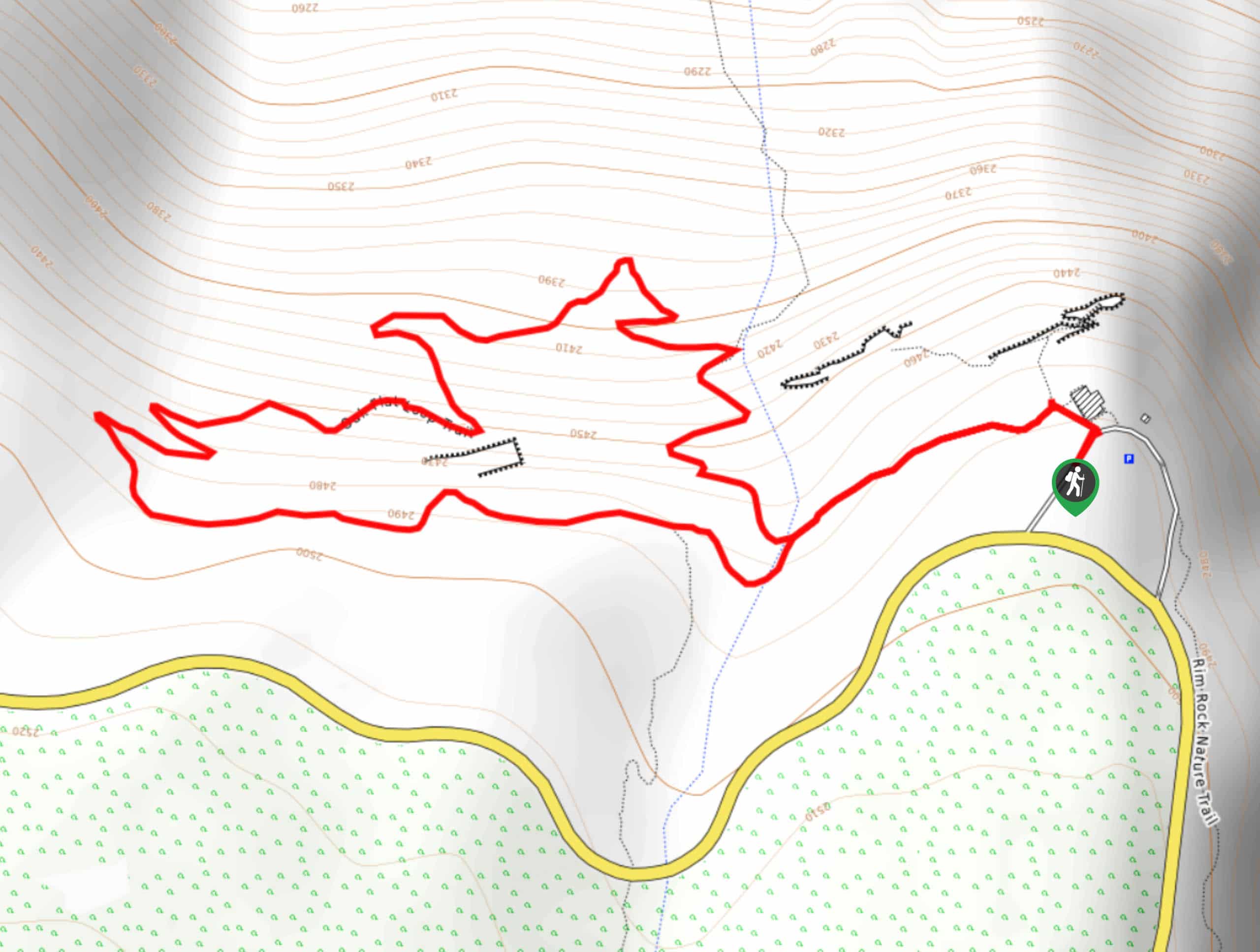
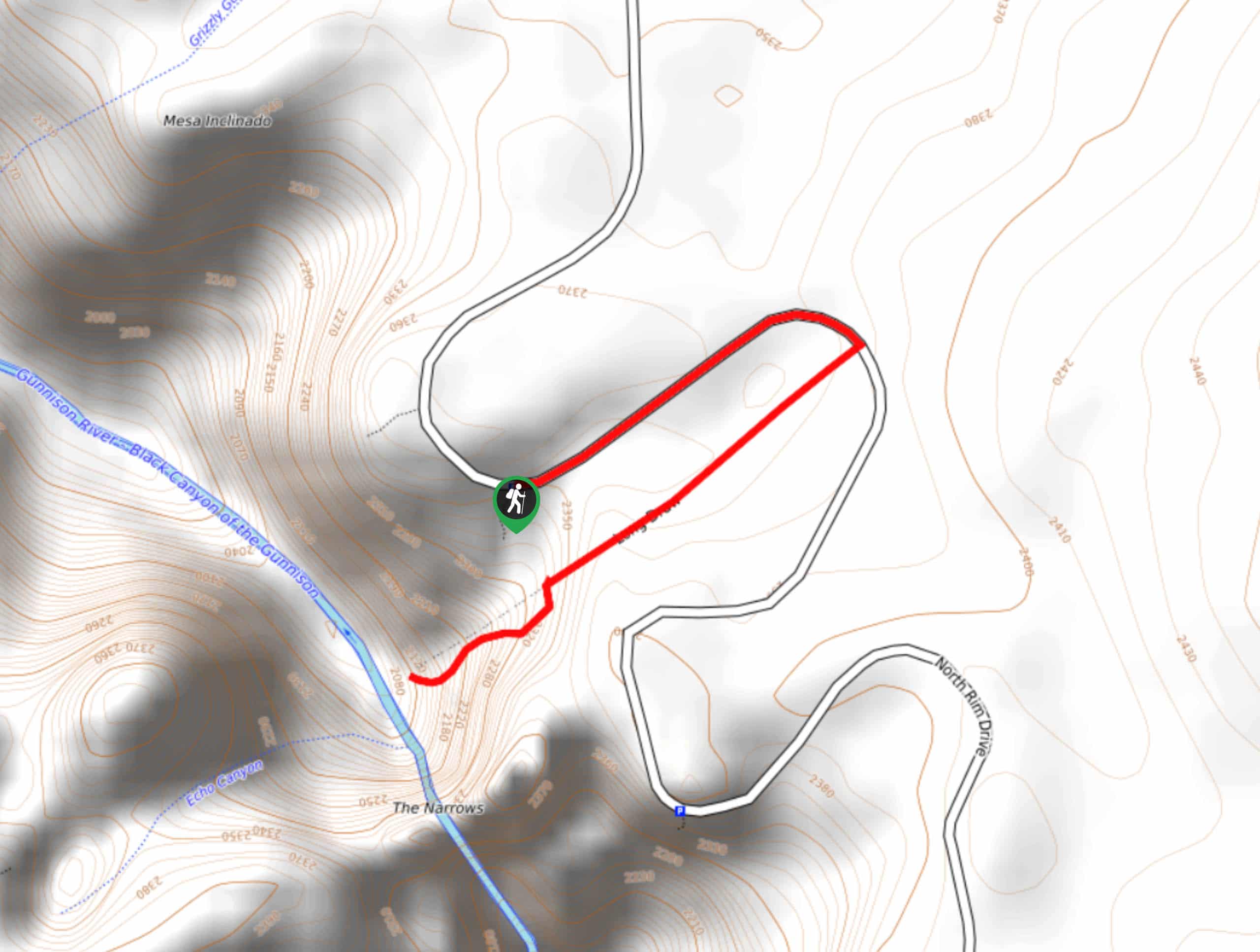
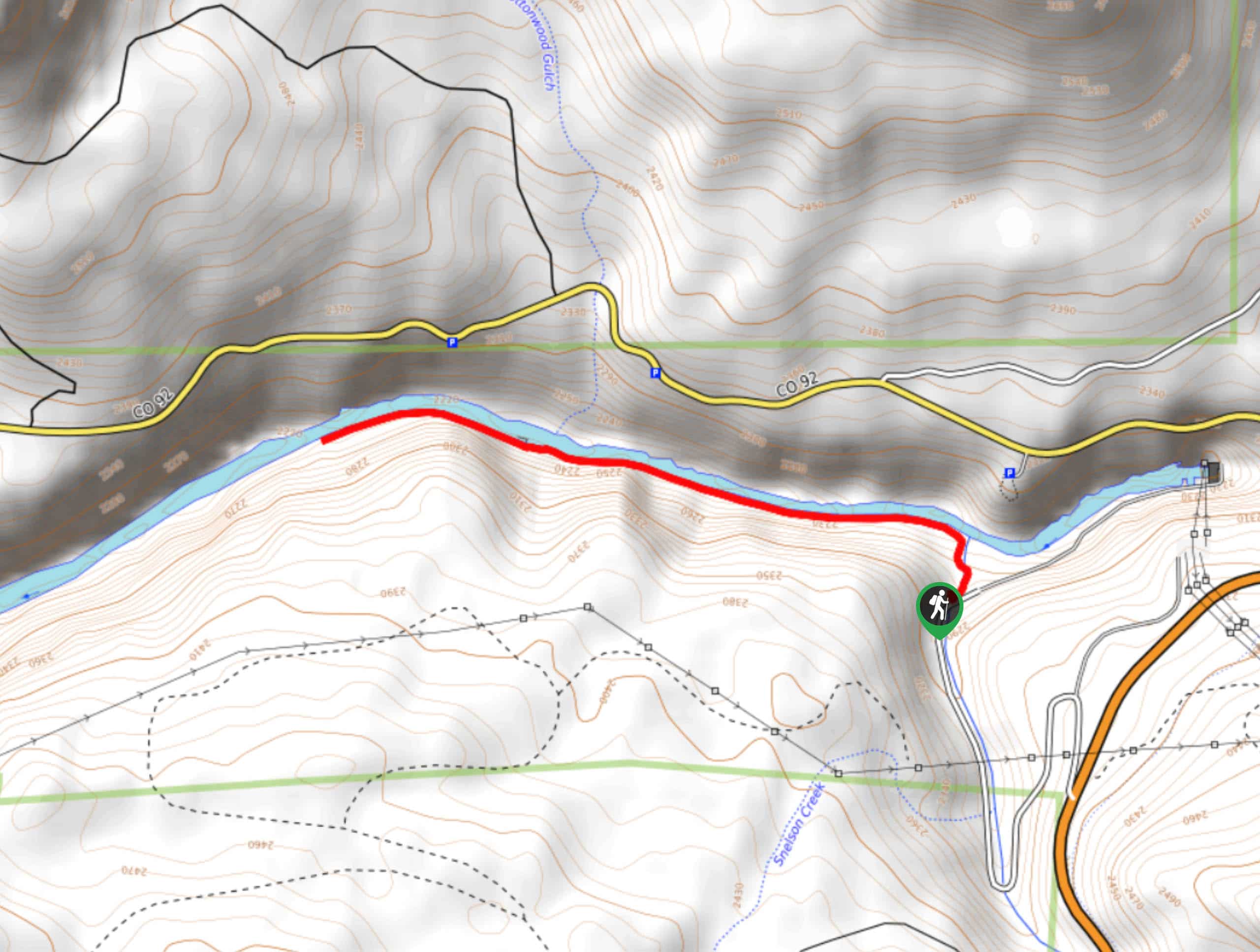
- Rim Rock Nature Trail - The Rim Rock Nature Trail is a beautiful and relaxed hike along the canyon's edge. We love this hike because it has views of the steep walled chasm every step of the way. Not to mention this is an epic family-friendly hike, just make sure everyone stays on the maintained path. The Rim Rock Nature trail is an awesome early morning walk. The rising sun proves to be a stunning backdrop over the Black Canyon.
- Green Mountain Summit Hike - The Green Mountain Summit Trail is one of few long hikes in the Black Canyon of the Gunnison National Park. Hike the trail through the quintessential Black Canyon terrain up to Green Mountain Summit. This route is the perfect balance between scenic and strenuous. Ascend the Green Mountain Summit and you will be rewarded with 360-degree views of the Black Canyon landscape.
- Tomichi Hike - The Tomichi Hike is the steepest hike on the South Rim of the Black Canyon. This unmarked hike down the inner canyon is extremely demanding and technical. If you are an avid adventurer who craves a challenge and an adrenaline rush, then we are sure you’ll love the Tomichi Hike. Scramble down the steep gorge and you will be rewarded with an impressive perspective of the narrow cliffs that flank the Gunnison River.
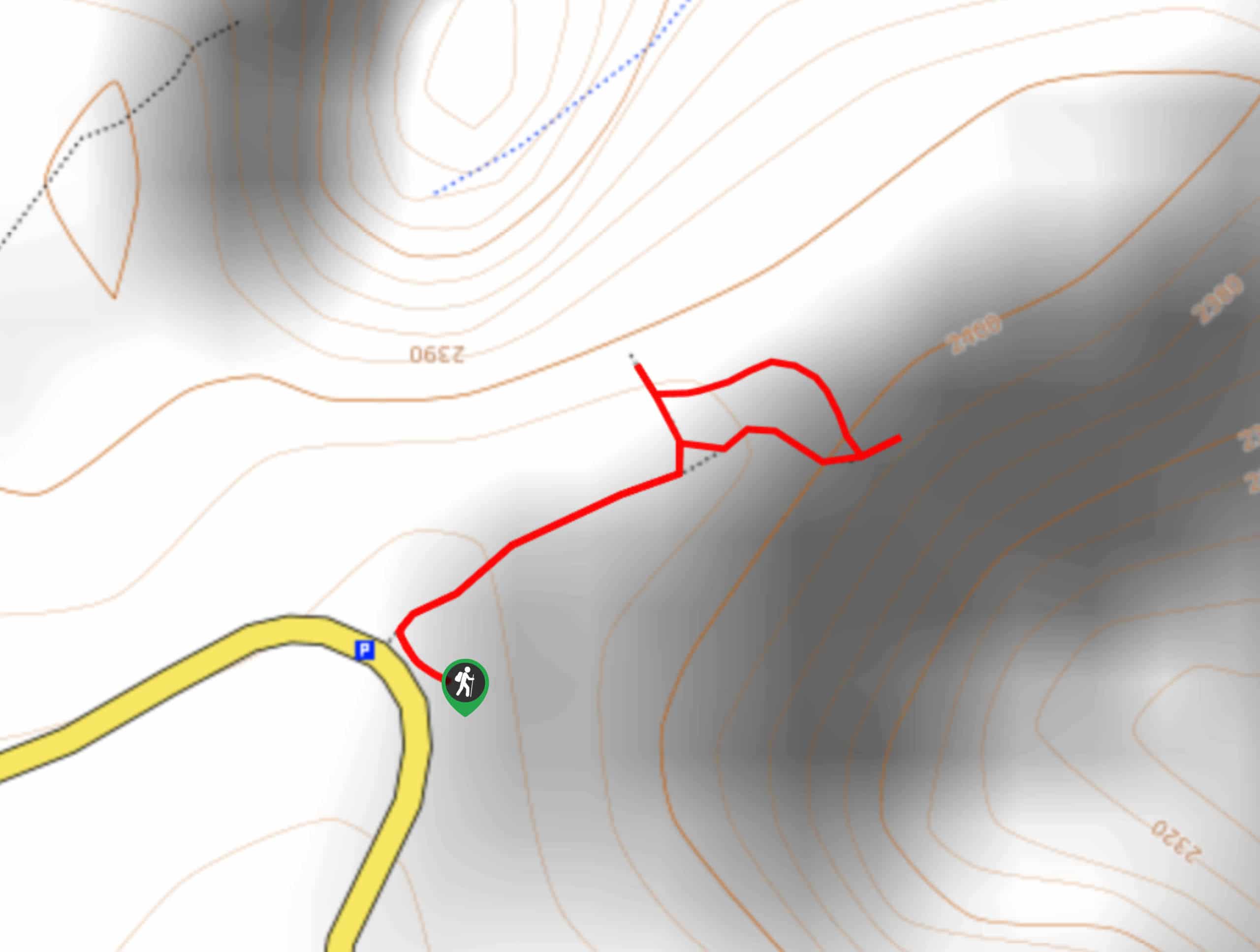
- Devil’s Lookout Trail - The Devil’s Lookout Trail is a short hike to a vertiginous overlook of the Black Canyon. You will be taken back by the panorama of the steep craggy cliffs and granite spires below. This adventure is great for photographers looking to snap a photo of the canyon or visitors looking for an expansive vista.
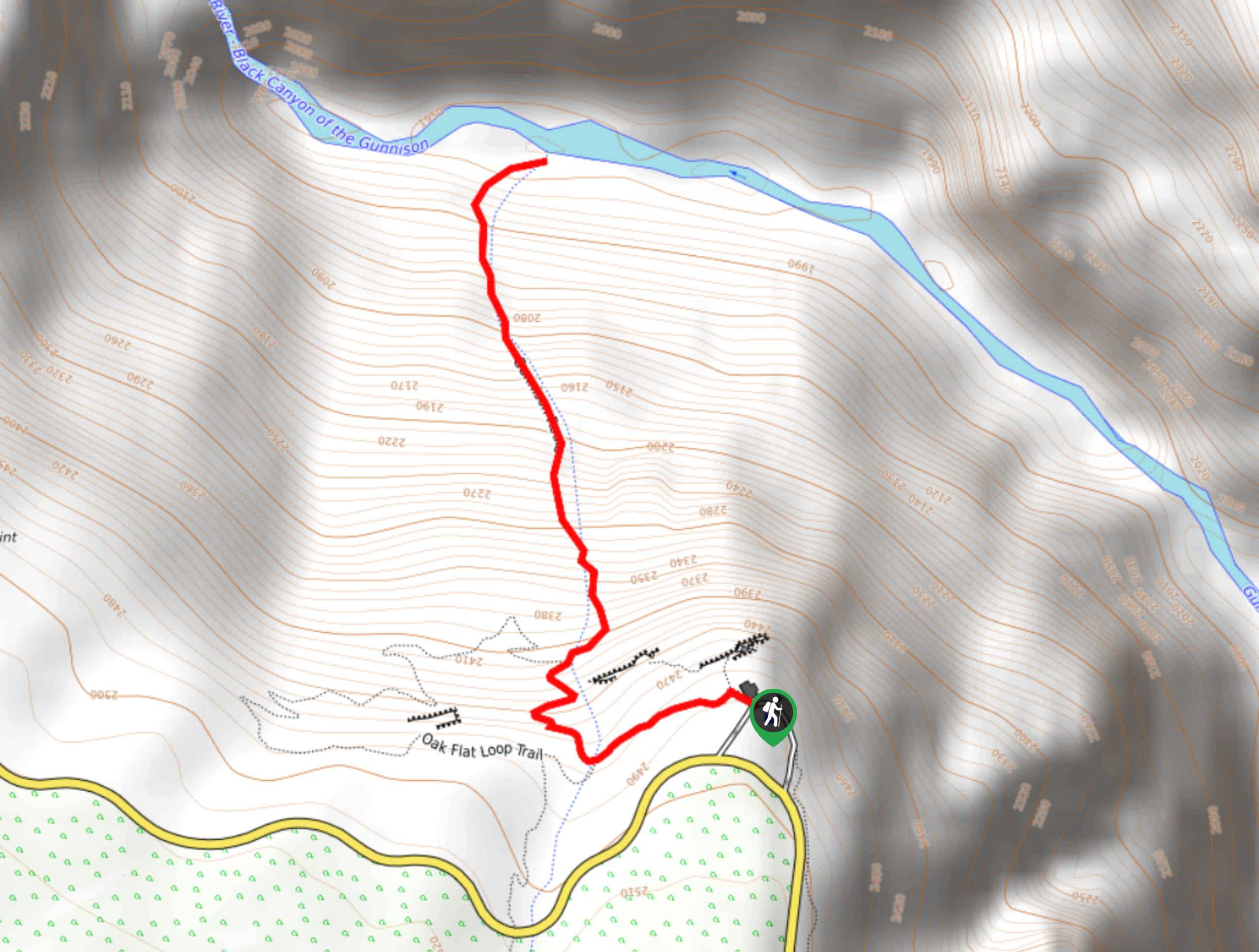
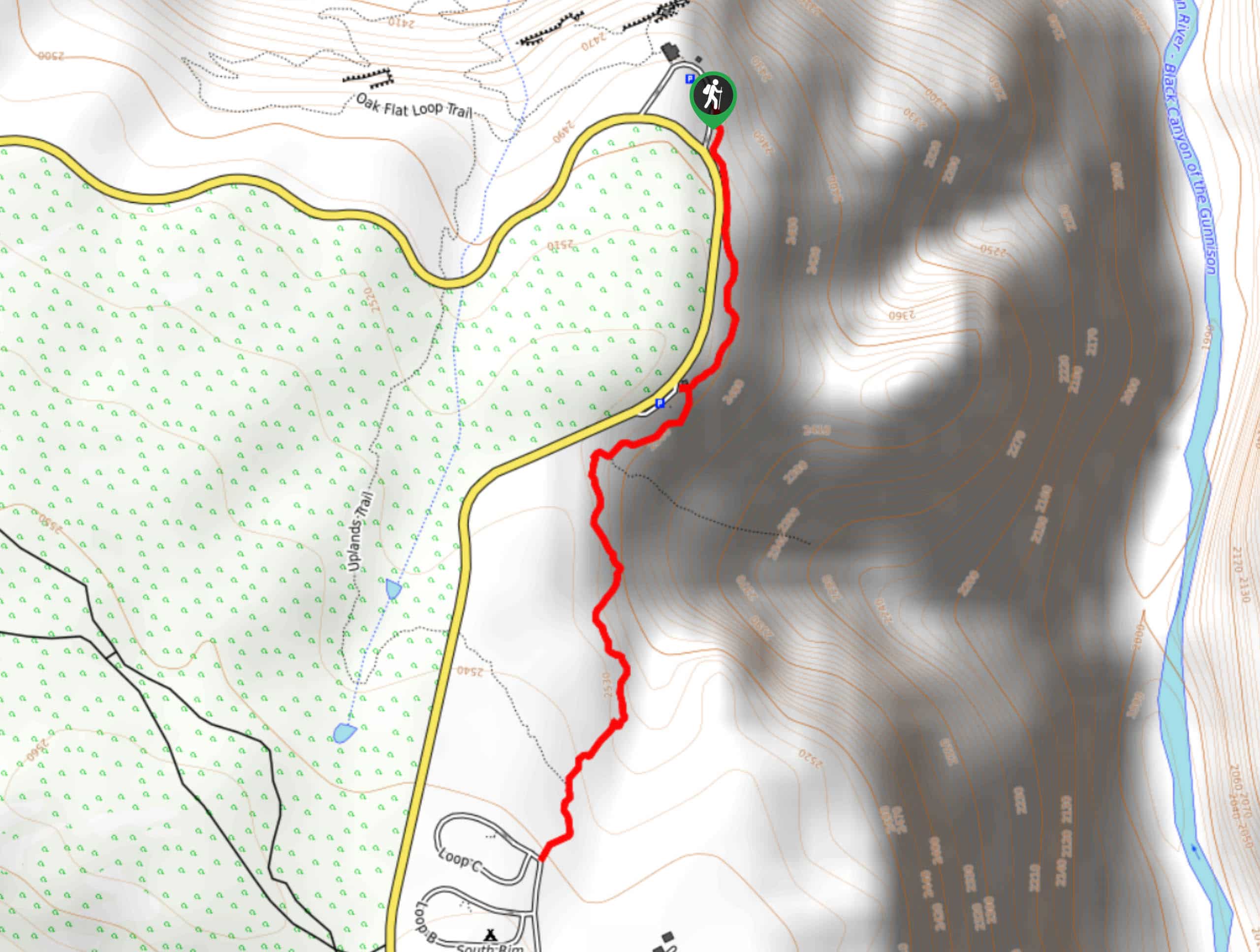
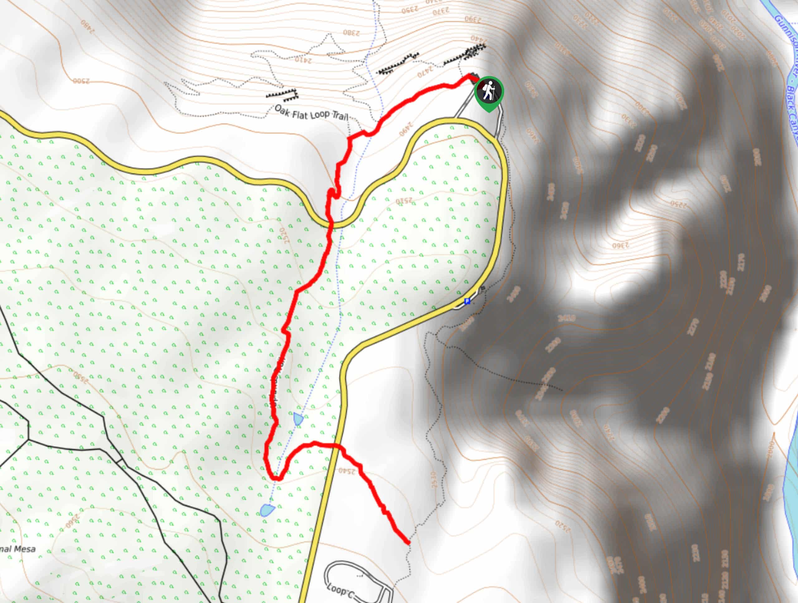
- Oak Flat Loop Trail - The Oak Flat Loop Trail is about as close as you can get to an inner canyon hike, without having to tackle an inner canyon hike. This exceptional trail can be enjoyed by the whole family. The Oak Flat Loop Trail is incredibly easy to navigate as it is well maintained. This loop will guide you through lush aspen forests, shrub flats, and past two scenic canyon overlooks. Note there are a few steep segments of the path, but they are easy to maneuver by the trail’s switchbacks.
When Is The Best Time To Visit The Black Canyon of the Gunnison National Park?
The best time to visit the Black Canyon of the Gunnison National Park is between April-November. Both the South Rim Road and North Rim Road are open during these months. The weather in the summer months is favorable, notably if you plan to camp either of the rim campgrounds. Though traffic congestion is rare in the Black Canyon of the Gunnison National, expect to see more people from July through to September.
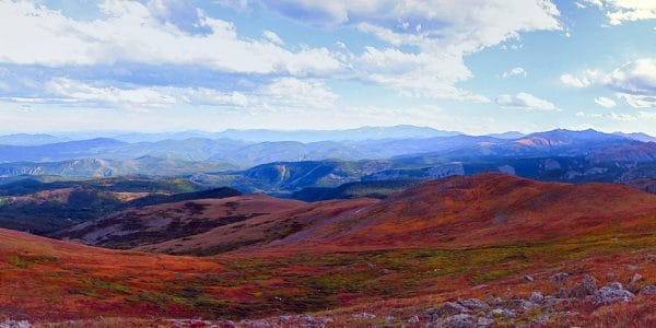
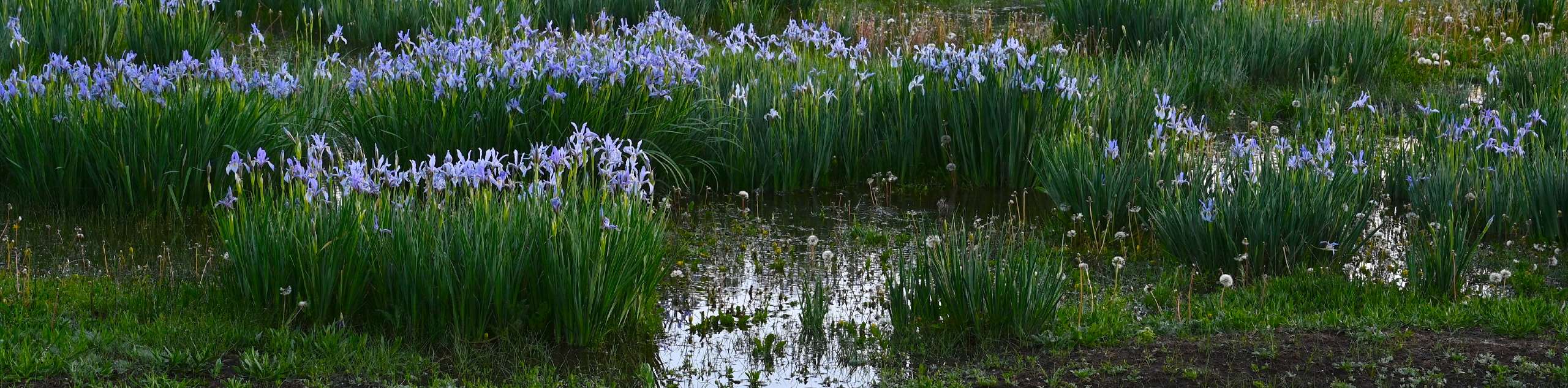
The Canyon’s vegetation is green and lush, wildflowers are abundant, and the air is warm throughout the summer months, but autumn might just be our favorite season to visit the Black Canyon. The crispness of the fall air, turning trees, and thinning of the crowds appeals to us.
Note that when the snow starts to fall, usually in November, both the North Rim Road and South Rim Road close to vehicle traffic until April. The South Rim Road remains open to pedestrian traffic year-round. Walk, snowshoe or cross-country ski from the park gateway along the scenic road.
Other Outdoor Activities in The Black Canyon of the Gunnison National Park
The Black Canyon of the Gunnison National Park offers much more than walks to panoramic canyon overlooks and inner canyon hiking adventures. There are plenty of exciting outdoor opportunities in the Black Canyon Wilderness for everyone. At the bottom of the canyon, fish, kayak or take a boat tour down the Gunnison River hemmed by the narrow cliffs.
The Black Canyon is a rock climbers haven. Scale the sides of the steep cliffs and get a unique perspective of the canyon as you hang from the side of the walls.
Frequently-Asked-Questions About Black Canyon of the Gunnison National Park
How much does it cost to visit the Black Canyon of the Gunnison National Park?
The Black Canyon of the Gunnison National Park generally charges $20 per vehicle, $15 per motorcycle and $10 per pedestrian or bicycle. This entrance fee is good for seven days and allows the pass holders to travel in and out of the park.
Are dogs allowed in the Black Canyon of the Gunnison National Park?
Dogs are permitted on park roads, pullouts, campgrounds and on select trails. These trails include the Cedar Point Nature Trail, North Rim Chasm View Nature Trail, and Rim Rock Trail. These rules are in place to mitigate any wildlife-dog conflicts.
Are Permits required to hike in the black Canyon of the Gunnison National Park?
Permits are required for inner canyon wilderness use. These permits are free and are available at the North Rim Ranger Station and the South Rim Visitors Centre.
Can you drive down to the bottom of the Black Canyon?
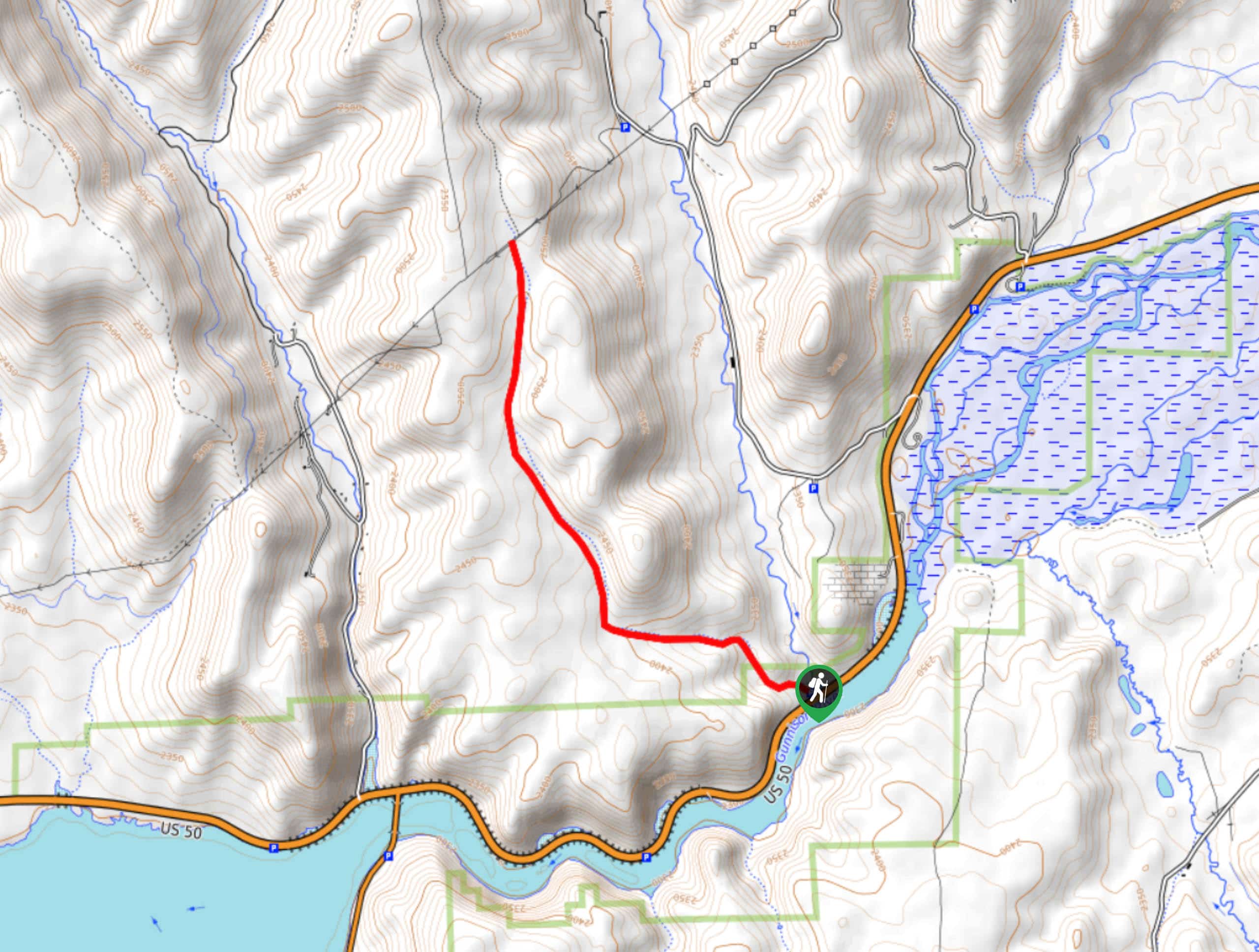
Yes, you can drive the East Portal Road down to the bottom of the Black Canyon. The East Portal Road is a paved road with a steep 16% grade.
Which side of the Black Canyon Should I visit?
This answer is subjective. The North Rim of the Black Canyon is more rustic. Trails are more primitive, and the main road is dirt. This side of the Canyon is less frequented, but the views of the south walls are jaw dropping. The South Rim is easier to access and has many more overlooks and trails. The South Rim has a visitors’ centre, and the road is paved.
How Long Does it Take to Drive to the Black Canyon?
Because there is no bridge connecting the North and South rim, expect a 2–3-hour drive from one side to the other.
Why is it called the Black Canyon?
So named because the narrowness of the cliffs does not allow sun to penetrate the depths, thus making the canyon walls appear black.
Adventures Tours in Colorado
Though we do not currently have any adventure tours in the Black Canyon of the Gunnison National Park, keep an eye out as we are working to add more tours in the area! Until then, take a look at our other epic Colorado Adventure Tours.
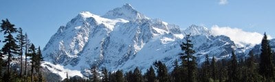
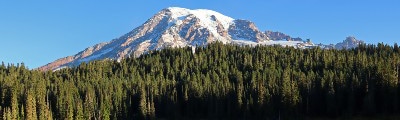
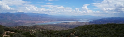
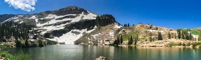
Find other amazing hiking regions in Colorado
Read MoreThe best hikes in Black Canyon of the Gunnison National Park
01. Exclamation Point Hike
Difficulty
The Exclamation Point Trail is one of our favorite scenic hikes in the Black Canyon… Read More
02. Chasm View Trail
Difficulty
The Chasm View Trail is a short loop that will guide you to one of… Read More
03. Painted Wall Lookout Trail
Difficulty
The Painted Wall Lookout Trail leads to an impressive panoramic viewpoint of the natural wonder.… Read More
04. Gunnison Route Hike
Difficulty
The Gunnison Route is a stimulating excursion down the ridge of the Black Canyon to… Read More
05. Warner Point Trail
Difficulty
Looking for a relaxed hike in the Black Canyon of the Gunnison National Park? The… Read More
06. Devil’s Lookout Trail
Difficulty
The Black Canyon of the Gunnison National Park has an exuberant amount of scenic outlooks.… Read More
07. Dillon Pinnacles Hike
Difficulty
The Dillon Pinnacles Hike is an epic adventure in the Curecanti National Recreation Area near… Read More
08. Dragon Point Trail
Difficulty
The Dragon Point Trail is a short walk to a grand lookout over the narrow… Read More
09. Green Mountain Summit Hike
Difficulty
On your next adventure through the Black Canyon of the Gunnison National Park add the… Read More
10. Tomichi Hike
Difficulty
The Tomichi Hike is the steepest hike on the South Rim of the Black Canyon.… Read More
Yes, there are more than 10
Black Canyon of the Gunnison National Park is so beautiful that we can not give you only 10 hikes. So here is a list of bonus hikes in Black Canyon of the Gunnison National Park that you should take a look at as well
11. Neversink Trail
Difficulty
The Neversink Trail is a short out-and-back trail along the banks of the Gunnison River.… Read More
12. Rim Rock Nature Hike
Difficulty
The Rim Rock Nature Trail is a great hike for the whole family. This adventure… Read More
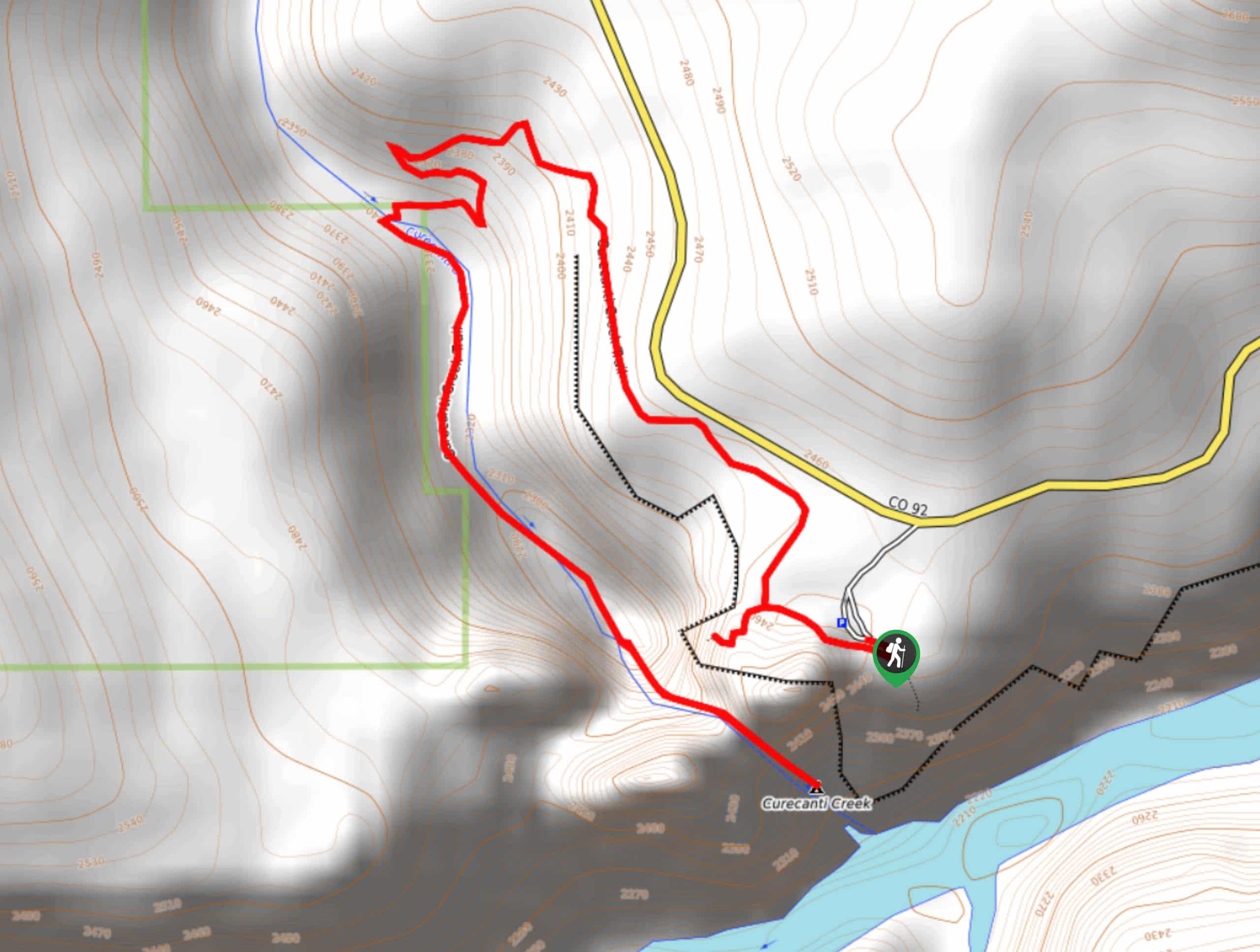
13. Curecanti Creek Trail
Difficulty
The Curecanti Creek Trail is a scenic hike through various Colorado terrains. Hike the ridges… Read More
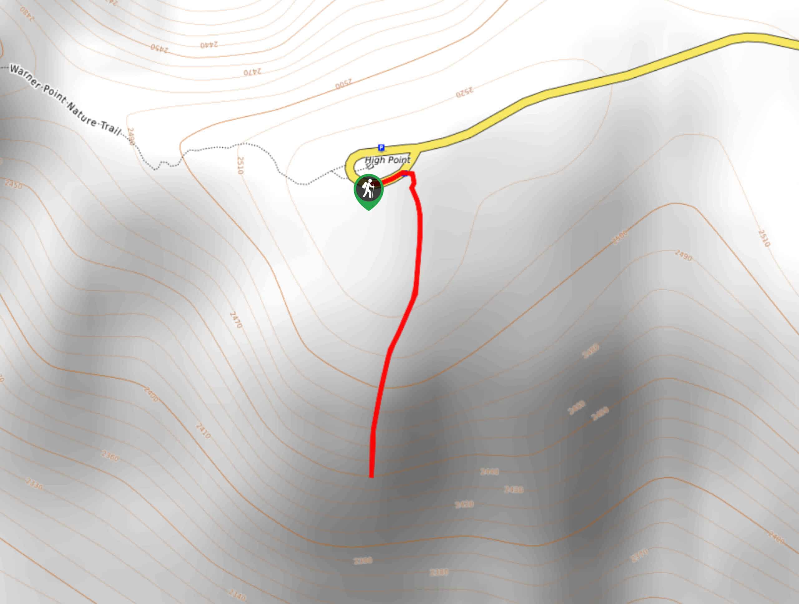
14. High Point Trail
Difficulty
The High Point Trail is another breathtaking lookout in the Black Canyon of the Gunnison… Read More
15. Cedar Point Nature Trail
Difficulty
Adventure the Cedar Point Nature Trail towards breathtaking views of the Painted Wall and surrounding… Read More
16. Oak Flat Loop Trail
Difficulty
The Oak Flat Loop is a great little hike in the Black Canyon of the… Read More
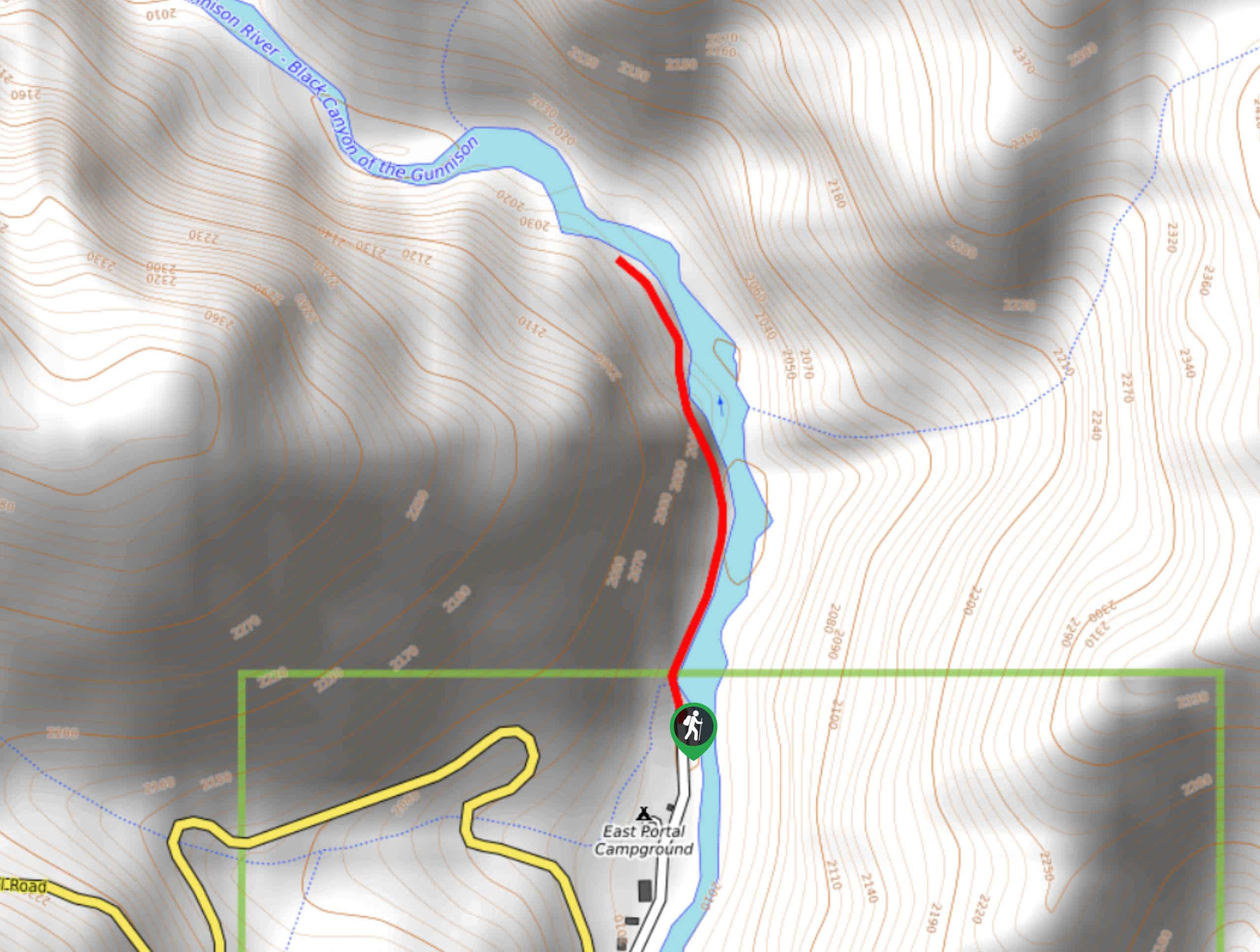
17. East Portal Trail
Difficulty
Follow the East Portal Trail along the Gunnison Riverbanks. Surrounded by the flanking canyon cliffs,… Read More
18. Deadhorse Loop Trail
Difficulty
If you are looking to escape the typical Black Canyon of the Gunnison lookout hikes,… Read More
19. Warner Route Hike
Difficulty
The Warner Route Hike is a strenuous trail down difficult, unmarked terrain. This excursion is… Read More
20. Pulpit Rock Lookout Trail
Difficulty
The Pulpit Rock Lookout Trail is a brief path to an awe-inspiring vantage point over… Read More
21. Rock Point Trail
Difficulty
The Rock Point Trail is a short hike to one of the Black Canyon of… Read More
22. Cross Fissures Trail
Difficulty
The Cross Fissures Trail is a scenic lookout point along the South Rim of the… Read More
23. Uplands Trail Hike
Difficulty
The Uplands Trail is a scenic hike through gambel oak and serviceberry scrubs on the… Read More
24. S.O.B Draw Hike
Difficulty
If you are seeking a challenging hike into the inner canyon, then the S.O.B Draw… Read More
25. Long Draw Hike
Difficulty
The Long Draw Hike is an extreme excursion into the inner canyon. Reserved for experienced… Read More
26. Dead Horse Trail
Difficulty
The Dead Horse Trail is a primitive trail atop the Black Canyon. The primitive path… Read More
27. Pine Creek Hike
Difficulty
Hike the Pine Creek Trail through the Black Canyon River valley. This walk is perfect… Read More
28. Sun Park Trail
Difficulty
The Sun Park Trail is a connector trail in the Curecanti National Recreation Area. Hike… Read More
29. Sunset View Trail
Difficulty
The Sunset View Trail and Lookout is a great place to overlook the Black Canyon.… Read More
30. Chasm View South Rim Lookout Trail
Difficulty
The Chasm View South Rim Lookout Trail is arguably one of the best overlooks in… Read More
31. Balanced Rock View Trail
Difficulty
The Balancing Rock View Trail leads to a lookout over the south walls of the… Read More
Are we missing your favourite hike?
Tell us! If you've got photos, a GPS track and know the hike, we'd love to share your favourite hike with the rest of the 10Adventures community.