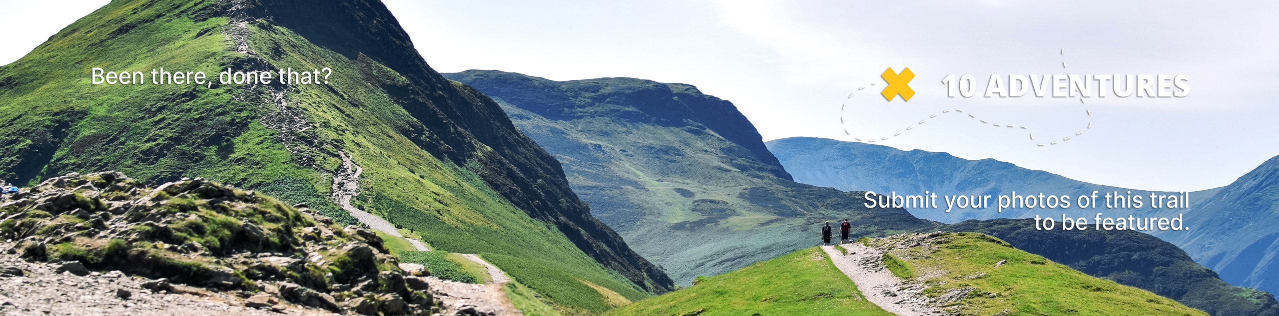
Curecanti Creek Trail
View Photos
Curecanti Creek Trail
Difficulty Rating:
The Curecanti Creek Trail is a scenic hike through various Colorado terrains. Hike the ridges of the upper Black Canyon before descending down into a picturesque river valley. Enjoy the ambient sounds of the running creek and the smell of the lush mountain forest as you walk along the running creek. The Curecanti Creek Trail is unparalleled in its lovely terrain and amazing vistas.
Getting there
The Curecanti Trailhead is off of Highway CO-92 in the Curecanti National Recreation Area.

About
| Backcountry Campground | |
| When to do | April-October |
| Pets allowed | Yes - On Leash |
| Family friendly | Yes |
| Route Signage | Average |
| Crowd Levels | Low |
| Route Type | Out and back |
Curecanti Creek Trail
Elevation Graph
Weather
Curecanti Creek Hike Description
The Curecanti Creek Hike is a stunning hike through the Colorado wilderness, and we couldn’t recommend it more. This hike will surely get your blood pumping as you ascend back up the ridges of the Black Canyon, but it won’t overly exhaust you. Make sure you bring lots of water and snacks, because though the descent is easy, the climb up a canyon cliff requires some fuel in the tank.
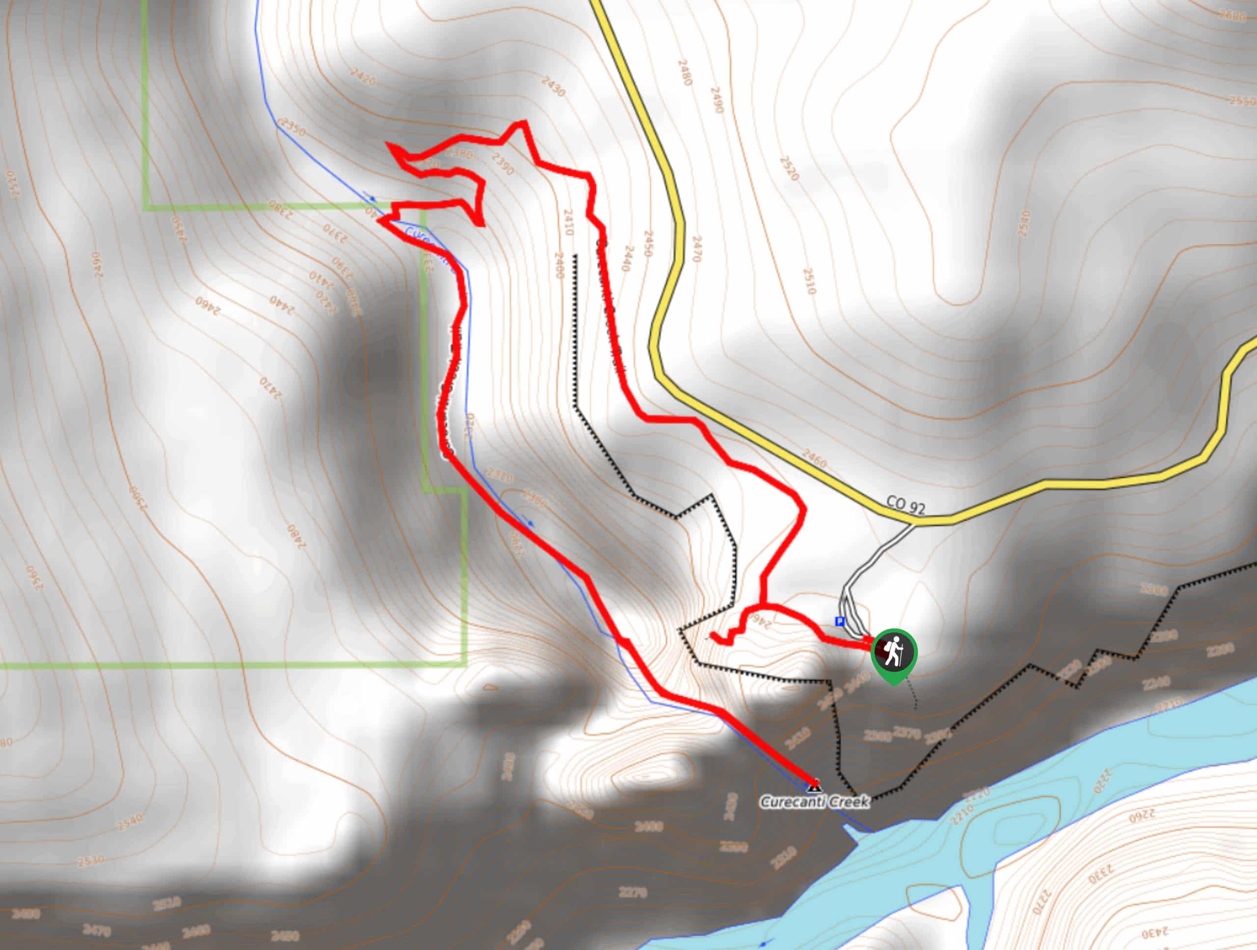
Begin your adventure from the Pioneer Lookout Parking Lot. Head northwest along the Curecanti Trail. The trail will guide you along the cliff’s edge before diverting left down into the gorge. The trail is well maintained and easy to follow as you navigate a few switchbacks through the forested Canyon down to Curecanti Creek. Cross the quaint bridge over the running creek and head south, following the curves of the creek. Walk along the granite walled path until it opens up to striking views of the Curecanti needle sticking up out of the reservoir.
Appreciate the gigantic granite spire before commencing your return. Retrace your steps along the Curecanti Creek Trail all the way back up the Canyon to the carpark.
Similar hikes to the Curecanti Creek Trail hike
Oak Flat Loop Trail
The Oak Flat Loop is a great little hike in the Black Canyon of the Gunnison Wilderness. This loop will…
Cedar Point Nature Trail
Adventure the Cedar Point Nature Trail towards breathtaking views of the Painted Wall and surrounding steep walled cliffs. Positioned on…
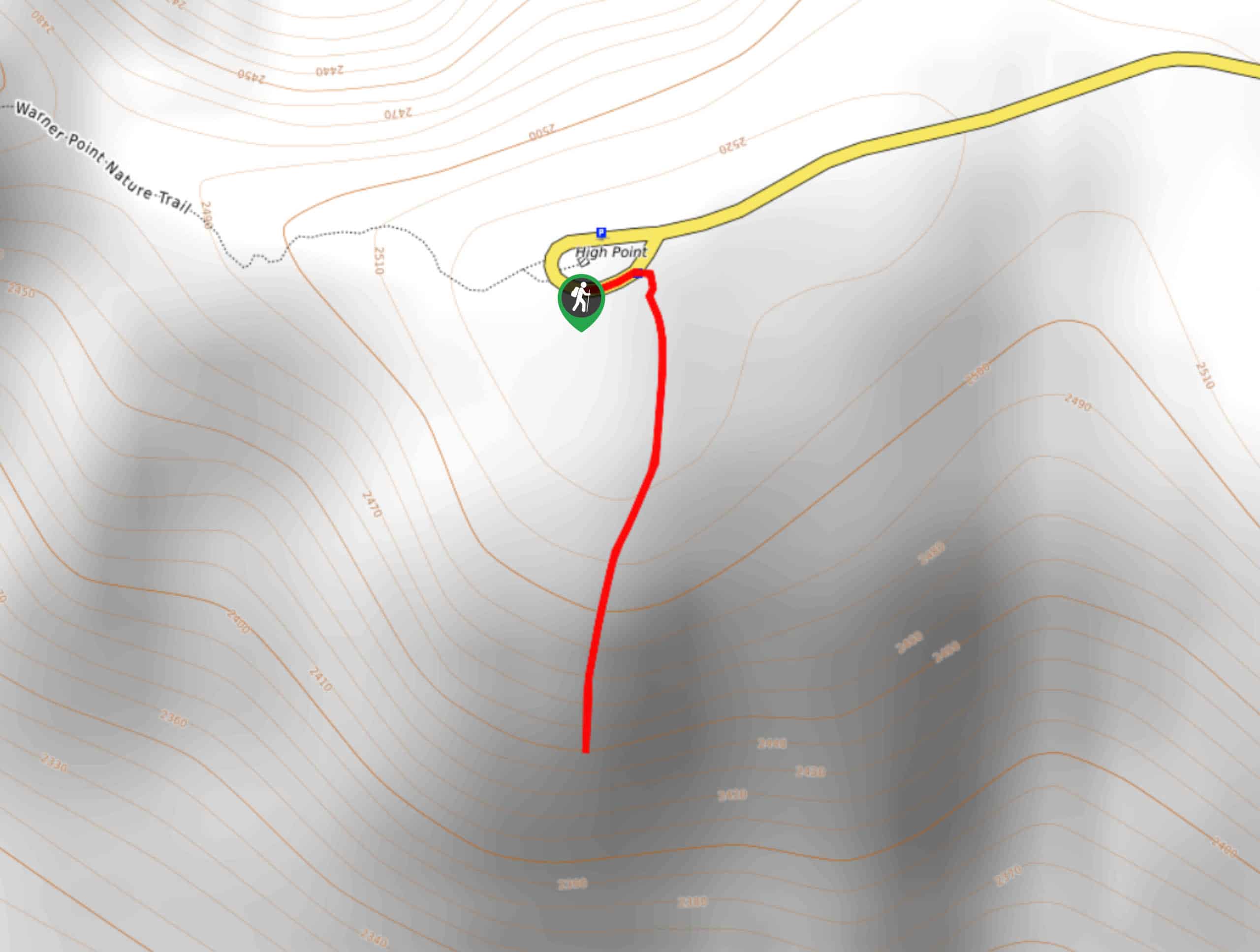
High Point Trail
The High Point Trail is another breathtaking lookout in the Black Canyon of the Gunnison National Park. Walk along the…
Comments