
Oak Flat Loop Trail
View Photos
Oak Flat Loop Trail
Difficulty Rating:
The Oak Flat Loop is a great little hike in the Black Canyon of the Gunnison Wilderness. This loop will guide you through lush aspen forests, shrub meadows, and past two scenic lookouts. This exceptional trail can be enjoyed by hikers of all skill levels, and it is family-friendly! What are you waiting for? Let’s go!
Getting there
The Oak Flat Loop Trail departs from the South Rim Visitors Centre off of South Rim Road.

About
| Backcountry Campground | No |
| When to do | April-October |
| Pets allowed | No |
| Family friendly | Yes |
| Route Signage | Average |
| Crowd Levels | High |
| Route Type | Lollipop |
Oak Flat Loop Trail
Elevation Graph
Weather
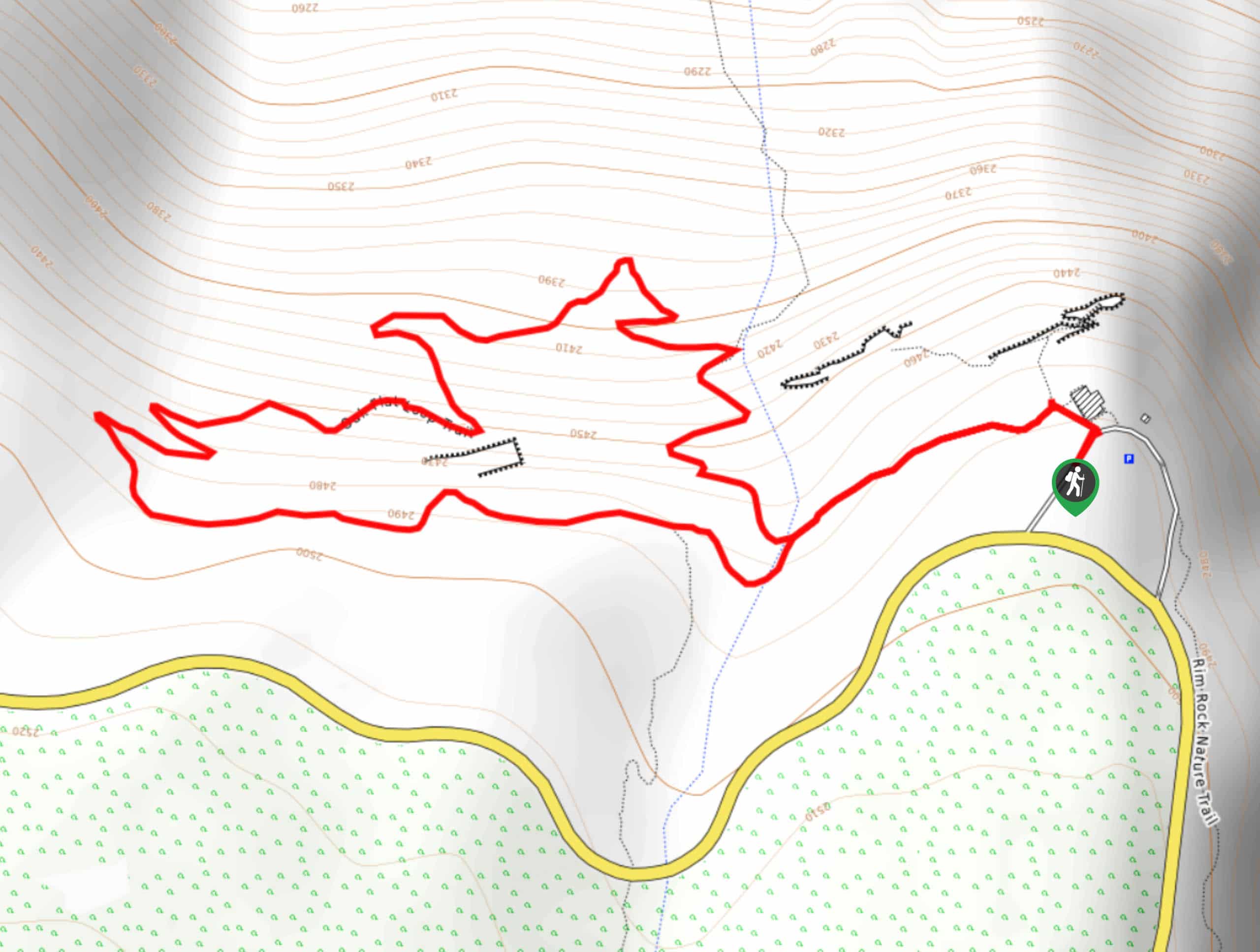
Oak Flat Loop Trail Description
This idyllic trial is perfect for a morning or evening hike through the Colorado wilderness. The Oak Flat Loop Trail is incredibly easy to navigate and is well maintained. There are a few steep segments of the path, but they are easy to maneuver by the trail’s switchbacks.
Embark on your adventure from the South Rim Visitors Centre. From the visitor’s centre, head southwest on the Oak Flat Loop Trail. Continue along the trail until you meet a bridge. At this junction you can complete the trail from either direction, but we recommend going counterclockwise. Veer right as the trail diverts you into the aspen woods. Follow this path as it begins to descend. Maneuver the switchbacks and you will arrive at another intersection. At this point, stay left. The trail will curve you back west as you walk along an exposed ridge.
Bask in the sights of the inner Black Canyon as you walk along the path. The trail will begin to wind you southward as you traverse a shrub field and begin ascending back up to the woods. Continue along the trail, navigating the switchbacks and the trail will curve east. Hike the path and you will meet back once again at the bridge, retrace your steps from here back to the parking lot.
Similar hikes to the Oak Flat Loop Trail hike
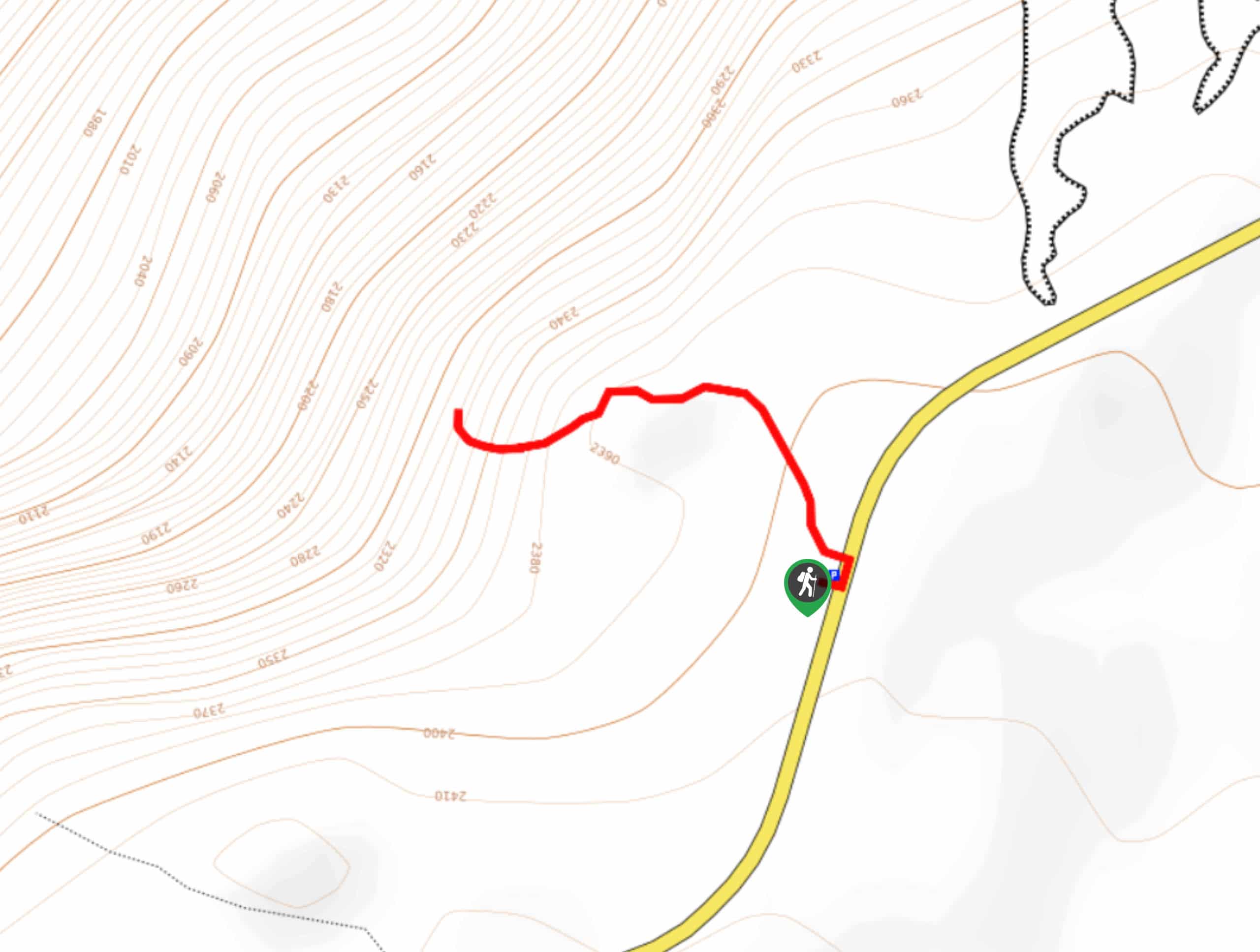
Cedar Point Nature Trail
Adventure the Cedar Point Nature Trail towards breathtaking views of the Painted Wall and surrounding steep walled cliffs. Positioned on…
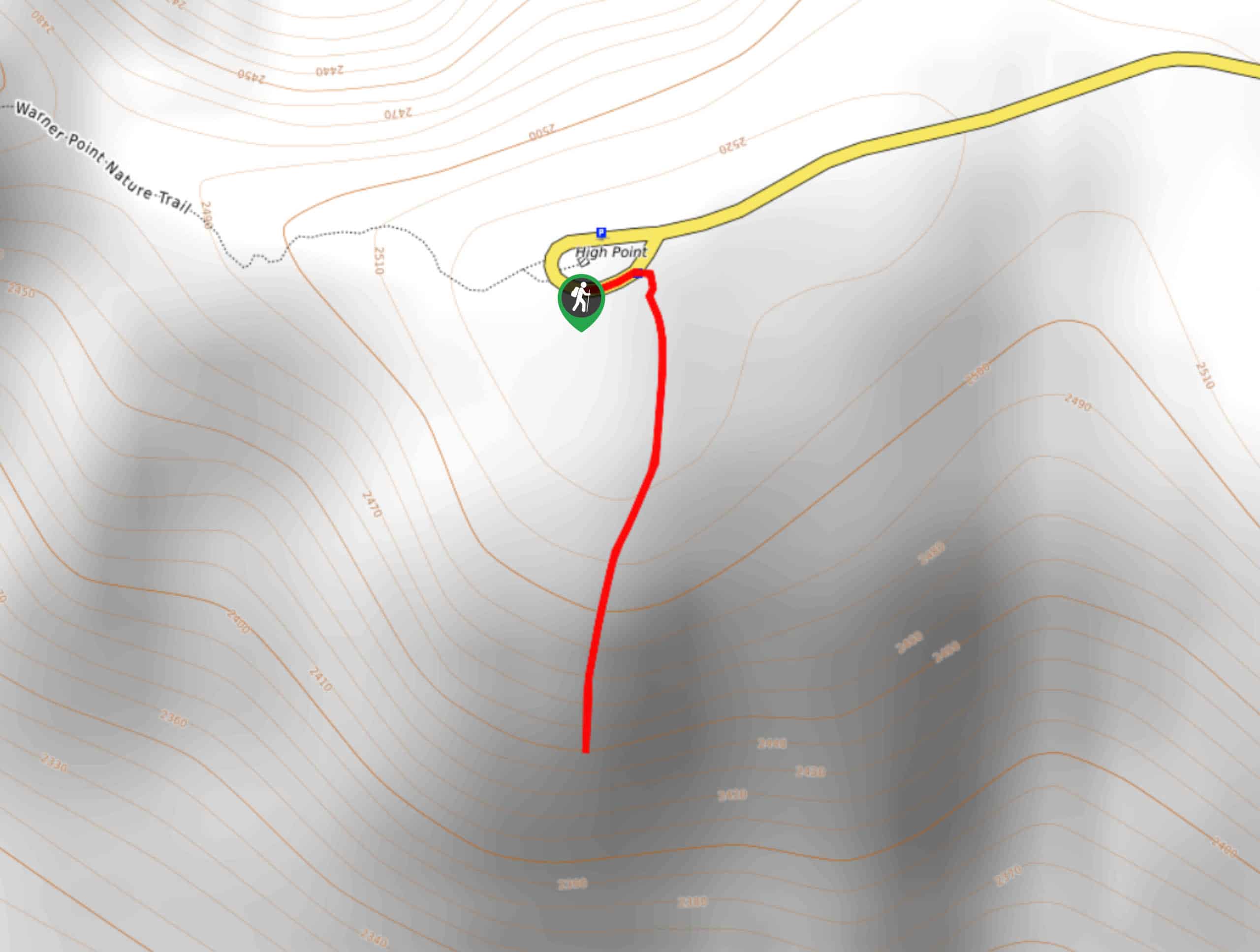
High Point Trail
The High Point Trail is another breathtaking lookout in the Black Canyon of the Gunnison National Park. Walk along the…
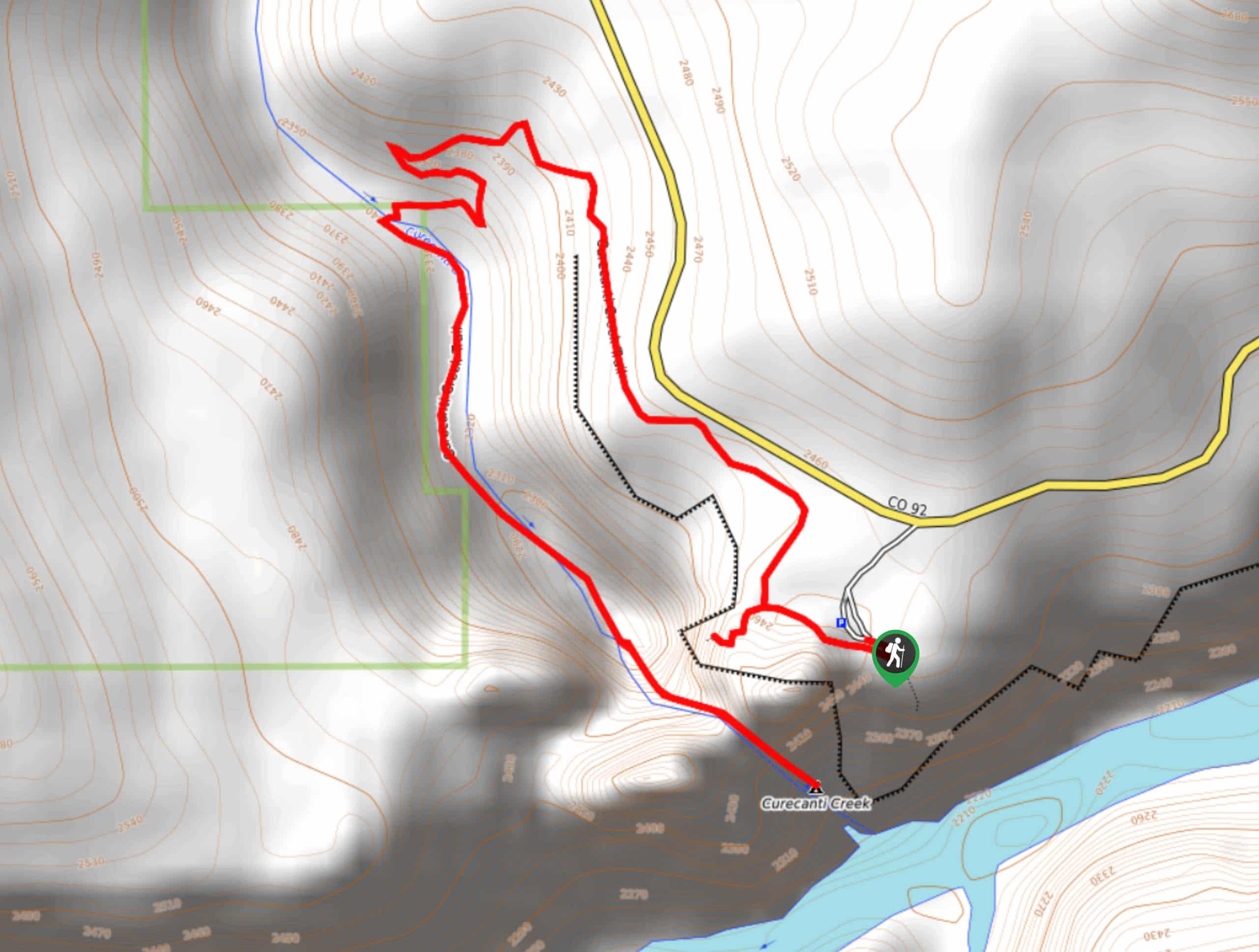
Curecanti Creek Trail
The Curecanti Creek Trail is a scenic hike through various Colorado terrains. Hike the ridges of the upper Black Canyon…
Comments