High Point Trail
View Photos
High Point Trail
Difficulty Rating:
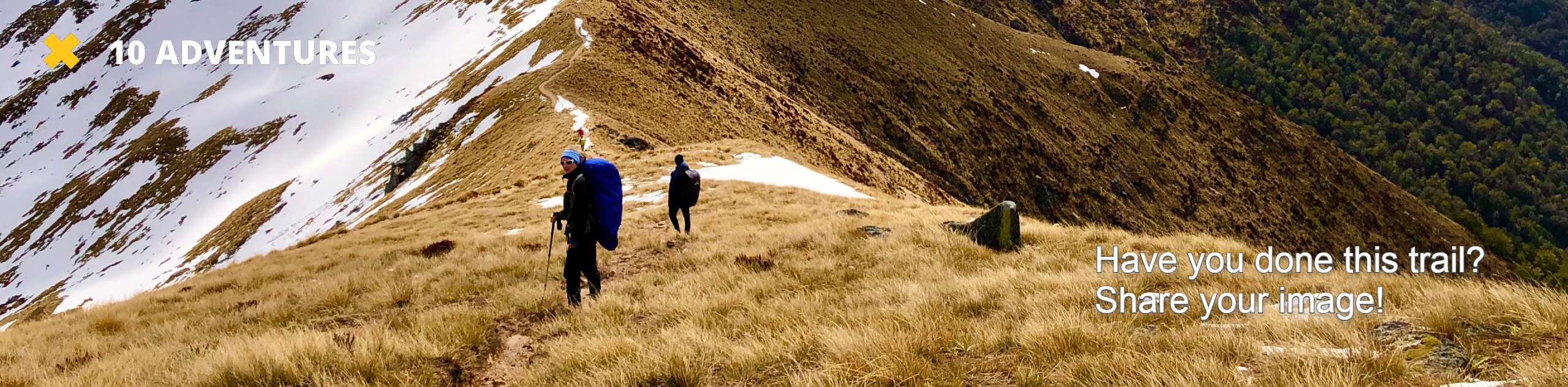
The High Point Trail is another breathtaking lookout in the Black Canyon of the Gunnison National Park. Walk along the lovely trail dotted with wildflowers and juniper before the trail opens up to a phenomenal overlook of the Colorado Wilderness. Southward facing, this lookout provides a unique vantage point compared to many others within the park.
Getting there
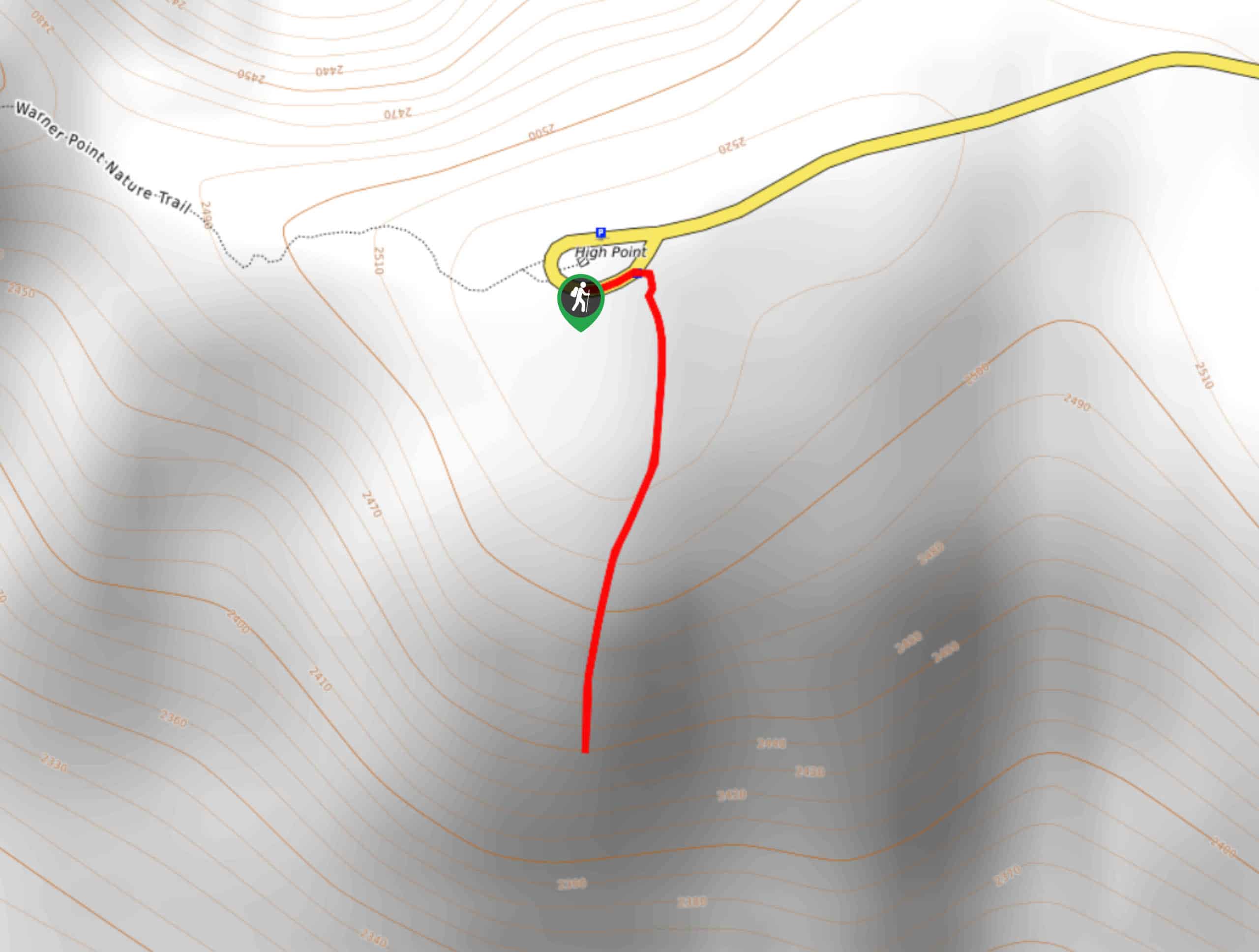
The High Point Trailhead is at the very end of the South Rim Road.

About
| Backcountry Campground | No |
| When to do | May-September |
| Pets allowed | No |
| Family friendly | Yes |
| Route Signage | Average |
| Crowd Levels | Low |
| Route Type | Out and back |
High Point Trail
Elevation Graph
Weather
High Point Hike Description
The High Point Hike is a one-of-a-kind overlook of the Black Canyon of the Gunnison National Park. This trail is perfect for anyone who needs a quick walk to stretch their legs or photographers looking to catch a fresh perspective of the Black Canyon. This trail is one of the lesser trafficked lookouts in the area, so the path is a little under maintained and overgrown. Don’t let that discourage you though, the path is easy to navigate and the views at the end make it all worth it.
Begin this path from the High Point Lookout Parking lot. Head south on the High Point Trail. Pass the wheel-chair accessible picnic area near the trailhead and continue down the path. Be prepared, you may have to do a little bit of bushwhacking. Hike the wildflower-dotted path as it begins to descend the lookout, ensure that you and your party stay on the trail at all times. Soon you will arrive at your destination.
Enjoy sights of the Black Canyon, green rolling hills, and snow-dusted mountain peaks in the distance. This lookout provides some of the park’s most incredible views, in our opinion. Enjoy the scenery before retracing your steps back to your car.
Similar hikes to the High Point Trail hike
Oak Flat Loop Trail
The Oak Flat Loop is a great little hike in the Black Canyon of the Gunnison Wilderness. This loop will…
Cedar Point Nature Trail
Adventure the Cedar Point Nature Trail towards breathtaking views of the Painted Wall and surrounding steep walled cliffs. Positioned on…
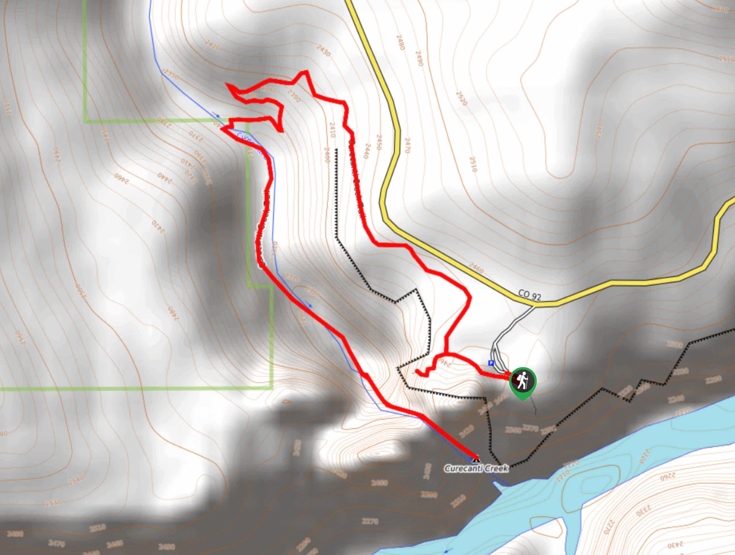
Curecanti Creek Trail
The Curecanti Creek Trail is a scenic hike through various Colorado terrains. Hike the ridges of the upper Black Canyon…
Comments