
Balanced Rock View Trail
View Photos
Balanced Rock View Trail
Difficulty Rating:
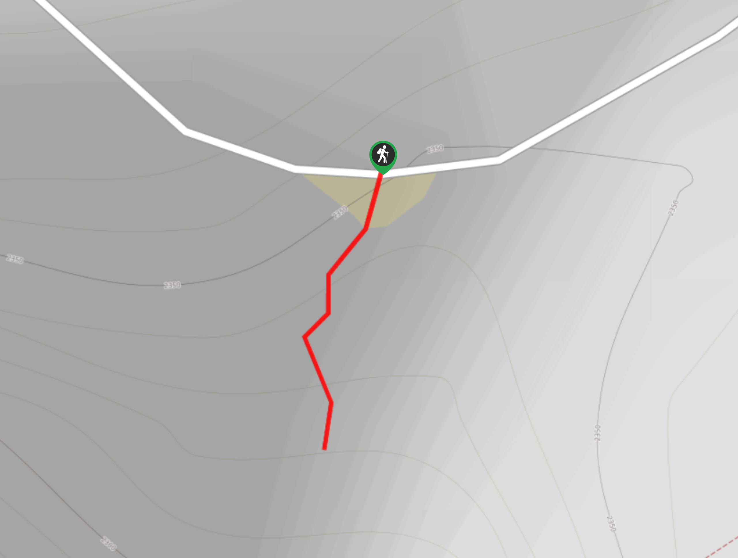
The Balancing Rock View Trail leads to a lookout over the south walls of the Black Canyon. Enjoy the awe-inspiring vistas from the cliffs-edge viewing area and keep an eye out for hikers below! Don’t forget to peer through the overlook’s gate to get an up close and personal view of the Balancing Rock.
Getting there
The Balancing Rock View Trail is located off of the North Rim Road.

About
| Backcountry Campground | No |
| When to do | Year-round |
| Pets allowed | No |
| Family friendly | Yes |
| Route Signage | Average |
| Crowd Levels | Moderate |
| Route Type | Out and back |
Balanced Rock View Trail
Elevation Graph
Weather
Balancing Rock View Trail Description
The Balancing Rock View Trail is a short hike out to a spectacular viewpoint. Though the viewing area is fenced in, other ledges in the surrounding area are not. Ensure that you and your party maintain on the marked trail for the entirety of the hike.
The Balancing Rock View Hike is a quick walk from the parking area to the overlook. From the parking lot, track south along the dirt path as it descends to the lookout. From the overlook enjoy panoramic sights of the Black Canyon and the Gunnison River below. The Balancing Rock is located just over the viewing area. Look through the fence down to the gigantic boulder that appears to be balancing on the cliff’s edge.
When you are done exploring the vista, simply retrace your steps back to the carpark.
Similar hikes to the Balanced Rock View Trail hike
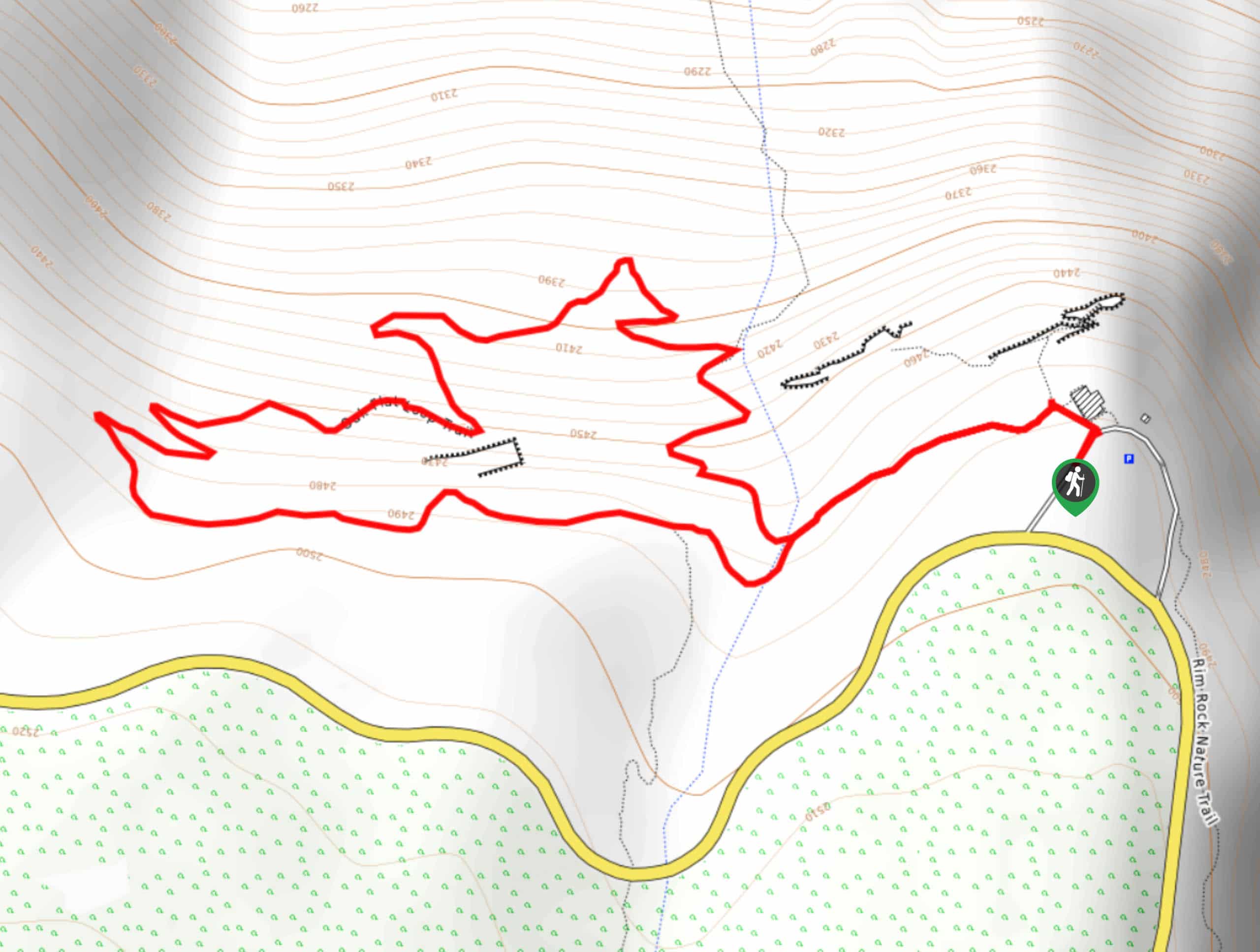
Oak Flat Loop Trail
The Oak Flat Loop is a great little hike in the Black Canyon of the Gunnison Wilderness. This loop will…
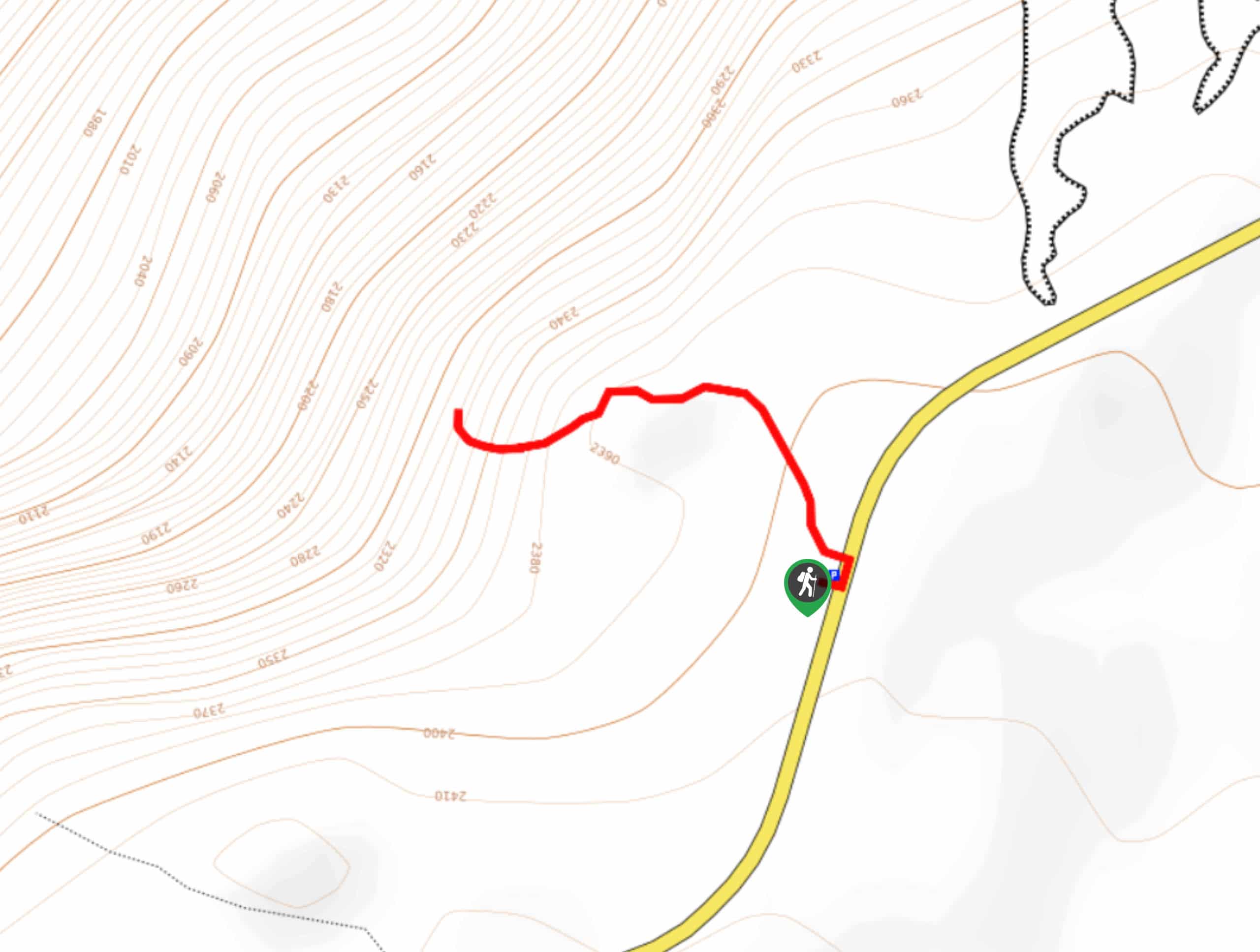
Cedar Point Nature Trail
Adventure the Cedar Point Nature Trail towards breathtaking views of the Painted Wall and surrounding steep walled cliffs. Positioned on…
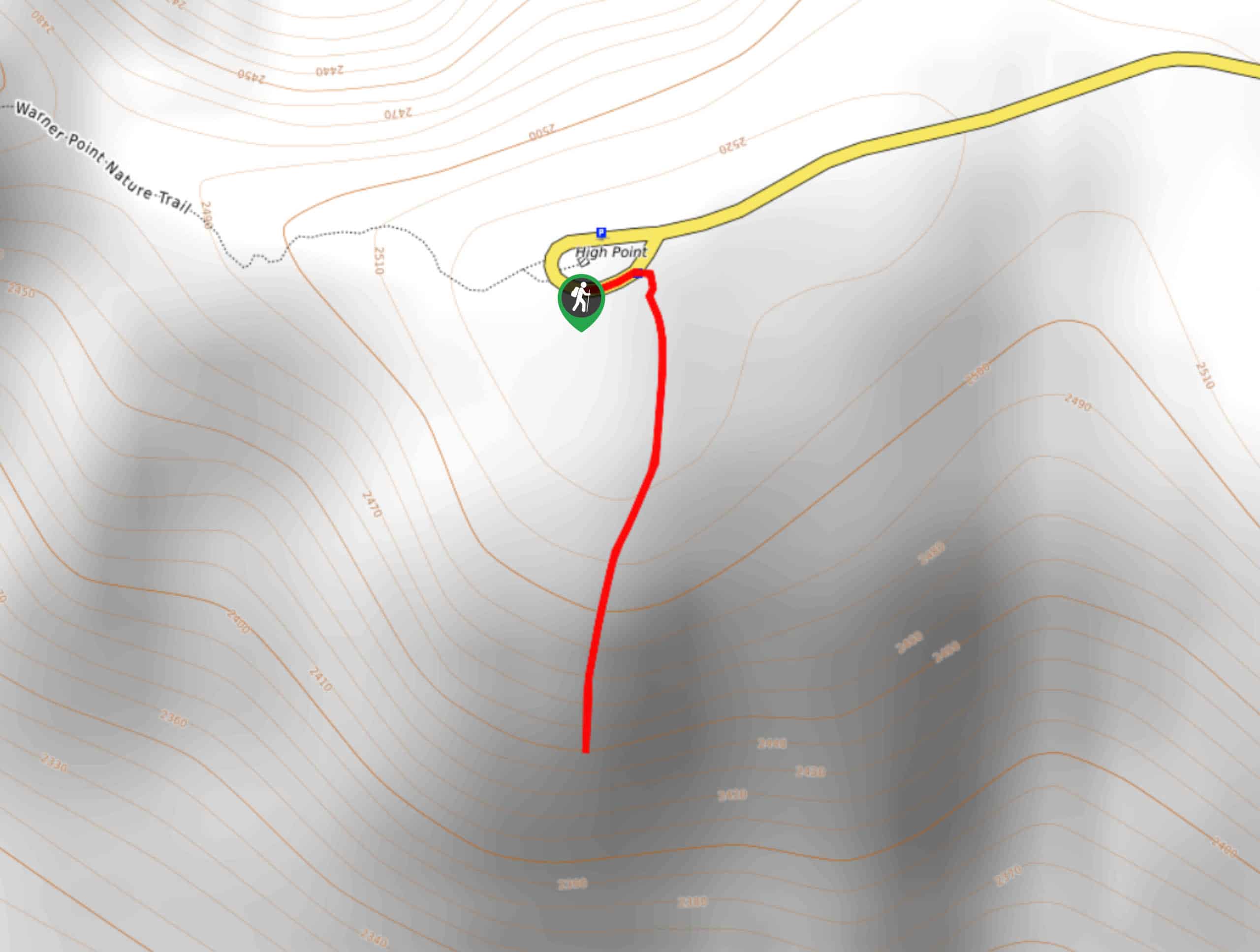
High Point Trail
The High Point Trail is another breathtaking lookout in the Black Canyon of the Gunnison National Park. Walk along the…
Comments