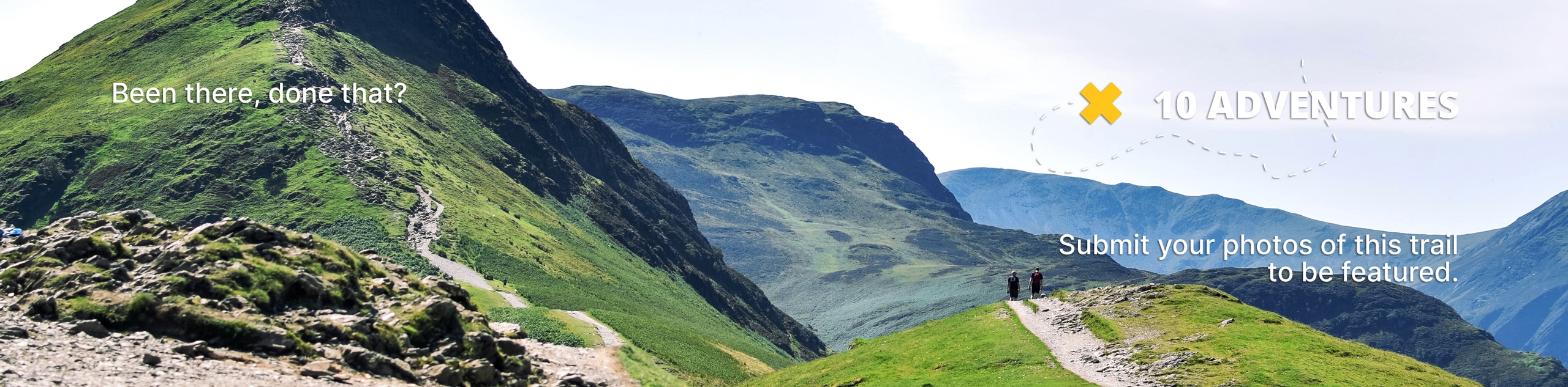
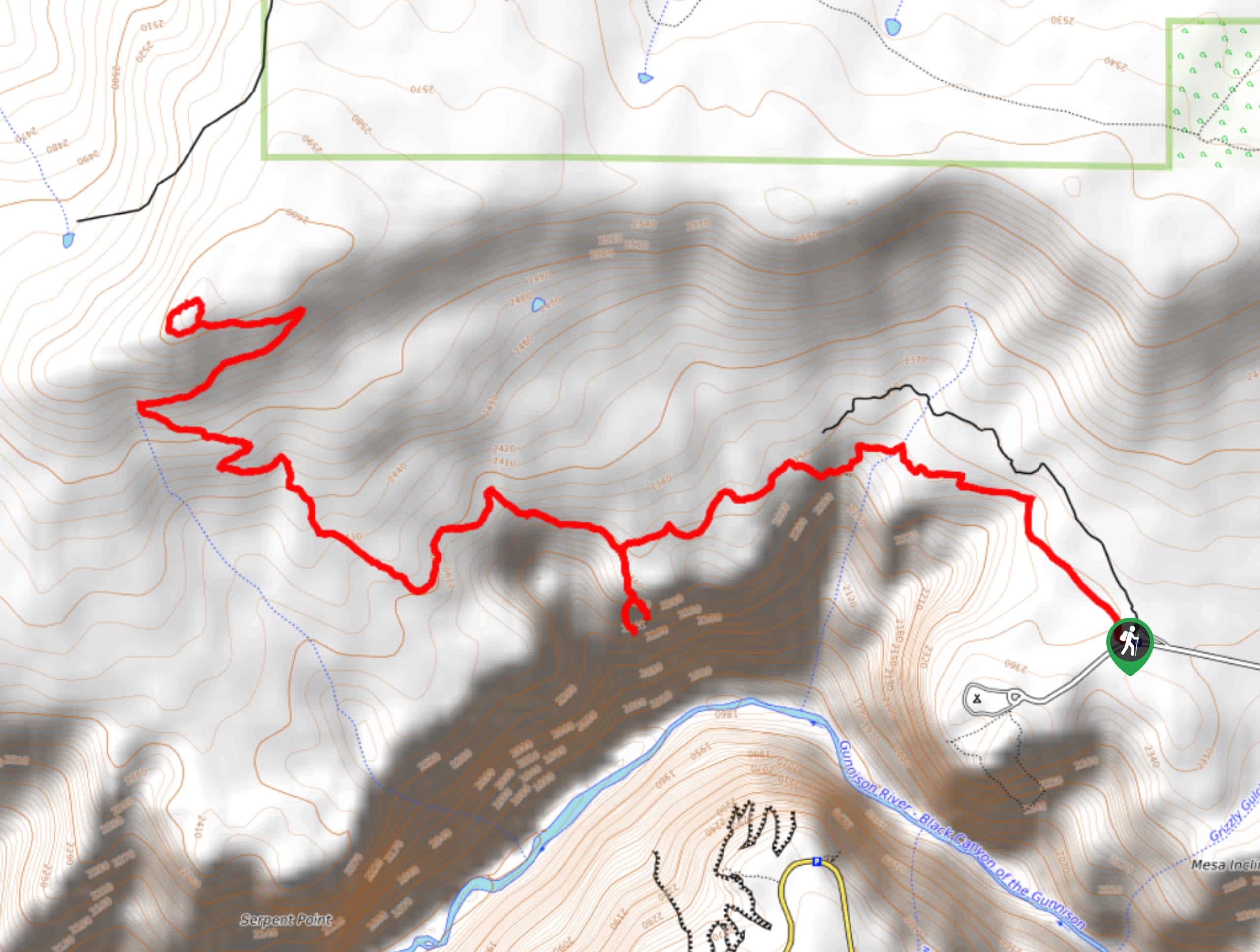
S.O.B Draw Hike
View Photos
S.O.B Draw Hike
Difficulty Rating:
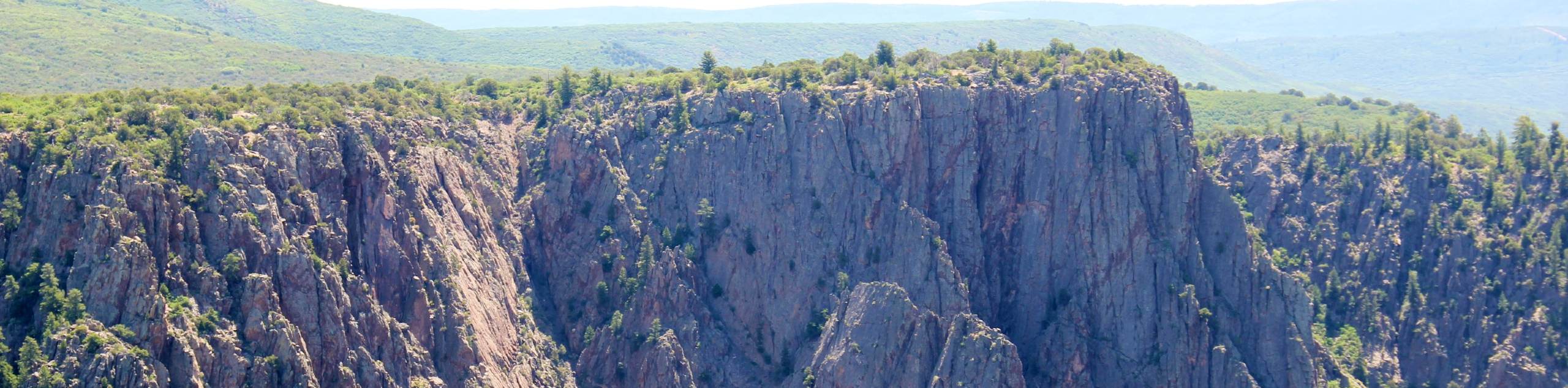
If you are seeking a challenging hike into the inner canyon, then the S.O.B Draw Hike is your match. The S.O.B Draw Hike is a great introductory inner canyon hike, but don’t get us wrong, it is still extremely demanding. Situated on the North Rim of the Black Canyon, this hike will reward its adventurers with stunning views of the north facing walls on the way down and even better vistas from the river’s edge.
Getting there
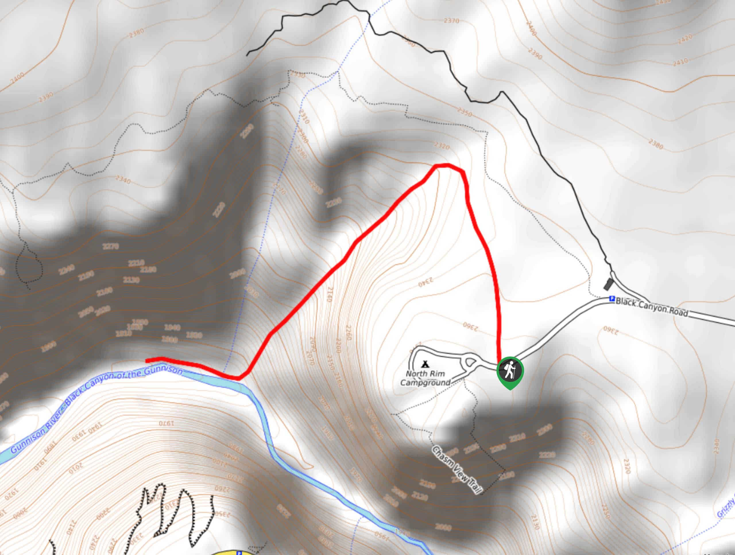
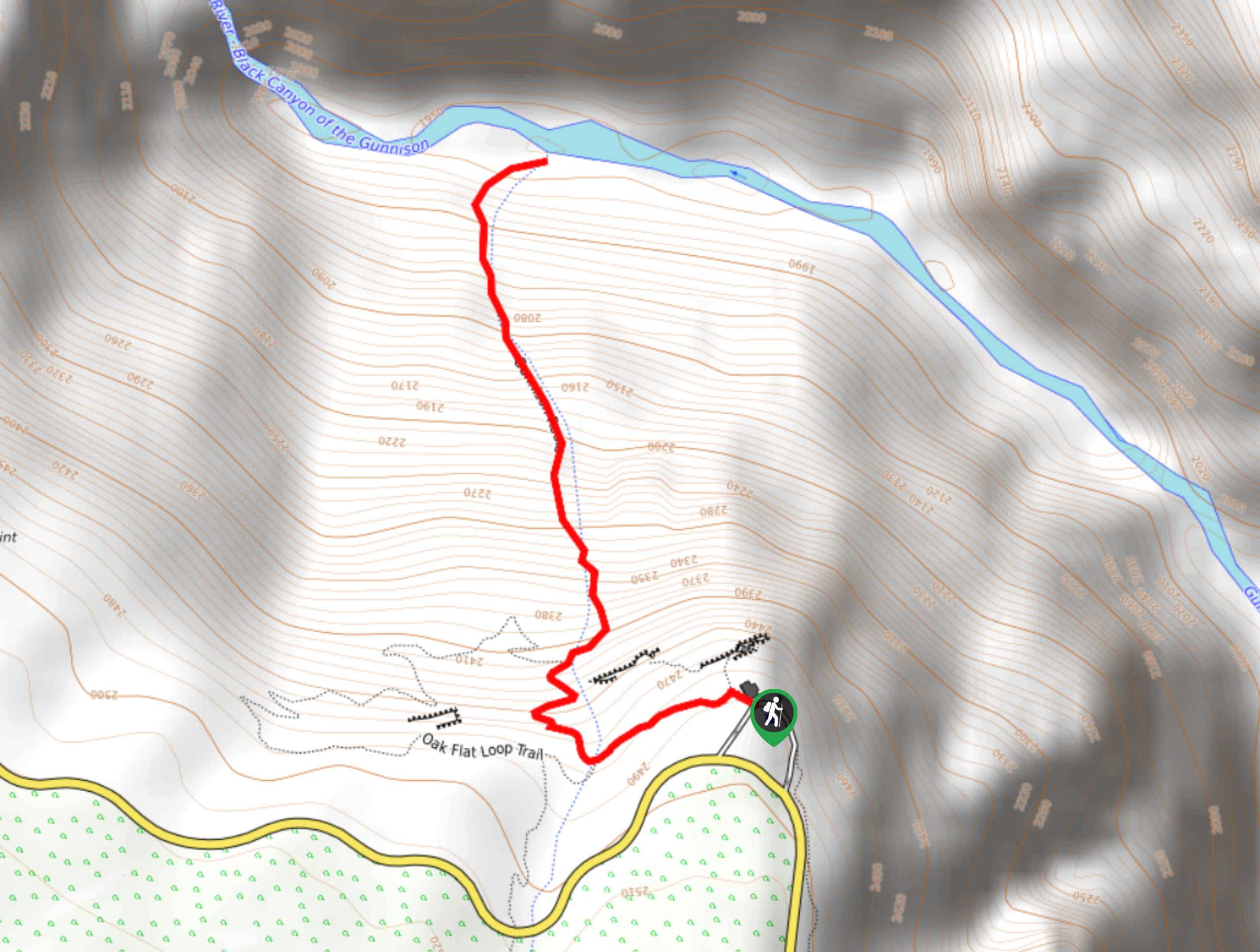
The S.O.B Draw Hike is accessed east of the North Rim Campground.

About
| Backcountry Campground | Yes, permits required |
| When to do | May-October |
| Pets allowed | No |
| Family friendly | No |
| Route Signage | Poor |
| Crowd Levels | Low |
| Route Type | Out and back |
S.O.B Draw Hike
Elevation Graph
Weather
S.O.B Draw Hike Description
Ready to hike down into the inner Canyon? The S.O.B Draw Hike is an extremely fun and stimulating excursion that requires a permit. These permits are free and can be reserved at the North Rim Ranger Station the evening before, or morning of your excursion. There are only 15 allotted permits per day, and those who get one will have to do a safety briefing with a park ranger.
The S.O.B Draw Hike is a vertiginous hike that requires scrambling down loose rock screes and tightly wound switchbacks. Be sure to wear hiking boots and we recommend bringing gloves to help you grip onto rocks and tree roots. The S.O.B Draw Trail is laden with poison ivy, so long pants are a must! Though there is a trail GPS, the path is fairly primitive, keep an eye out for rock cairns that mark the route. Note there are designated campsites along the river if you wish to camp overnight.
Once you get your permit and have done the safety briefing, you are set to head out! The S.O.B Draw Trailhead is to the east of the North Rim Campground. The S.O.B Draw Trail will guide you north along a level terrain before curving sharply left and sending you down the gully. Follow the cairns to the best of your ability as you hike down the forested and rocky terrain. Navigate the switchbacks and mind your footing on loose rocks. Continue scrambling down the rocky gully until the path opens up to the Gunnison River. Once you have descended the cliff take a break and dip your tired feet in the water.
If you have a camping permit, consider staying at one of the designated campsites at the bottom of the canyon. Bask in the views of the towering narrow walls and the picturesque Gunnison River. When you are ready to head back, retrace your steps up the trail. On the way up be careful of hikers behind you and loose rocks. Scramble up the rocky scree and over tree routes until you ascend the cliff and are guided back to the parking lot.
Similar hikes to the S.O.B Draw Hike hike
Tomichi Hike
The Tomichi Hike is the steepest hike on the South Rim of the Black Canyon. This unmarked hike will lead…
Green Mountain Summit Hike
On your next adventure through the Black Canyon of the Gunnison National Park add the Green Mountain Summit Hike to…
Gunnison Route Hike
The Gunnison Route is a stimulating excursion down the ridge of the Black Canyon to the Gunnison River. This hike…
Comments