
Uplands Trail Hike
View Photos
Uplands Trail Hike
Difficulty Rating:
The Uplands Trail is a scenic hike through gambel oak and serviceberry scrubs on the South Rim of the Black Canyon. Set back from the canyon’s ledge, the Uplands Trail is perfect for kids that need to blow off some steam. Though the Uplands Trail doesn’t deliver inner canyon views, its connecting paths present the opportunity to return along the cliff's edge.
Getting there
Start the Uplands Trail from the South Rim Visitors Centre off the South Rim Road.

About
| Backcountry Campground | |
| When to do | April-October |
| Pets allowed | No |
| Family friendly | Yes |
| Route Signage | Average |
| Crowd Levels | Moderate |
| Route Type | Out and back |
Uplands Trail Hike
Elevation Graph
Weather
Uplands Trail Description
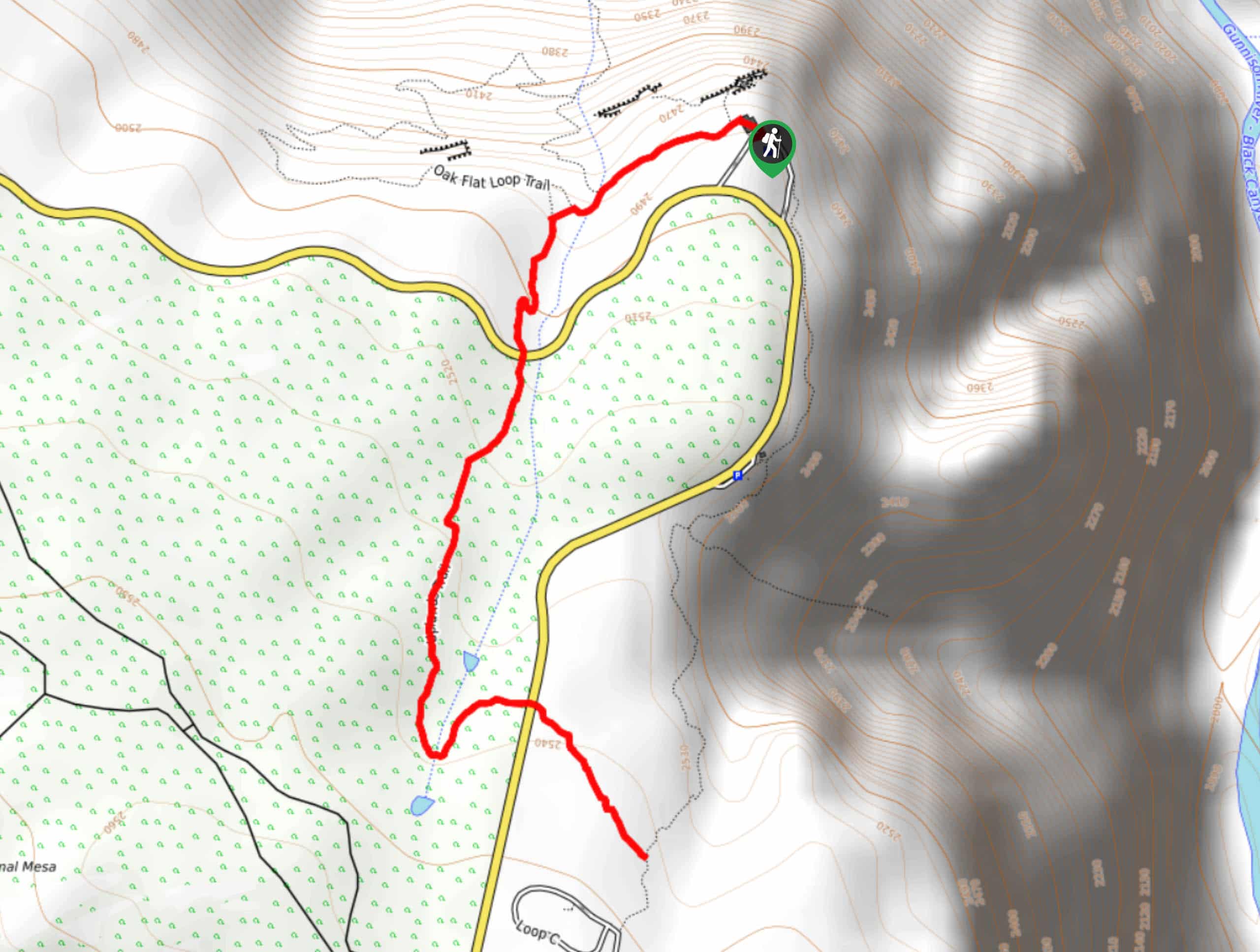
The Uplands Trail is an awesome connecting path along the summit of the Black Canyon’s South Rim. Hike the desert path to the South Rim Campground and choose to retrace your steps or loop back on the Rock Rim Nature Trail to the parking lot. Both paths are exposed to the elements, so if it’s a sunny Colorado day, you are going to want to bring some SPF! Short, but sweet, the Uplands Trail is a great family-friendly adventure.
The Uplands Trail departs from the Oak Flats Loop Trailhead. Head southwest down the Oak Flats Loop Trail until you meet a junction. Veer left and continued along the trail. Soon after you will encounter yet another intersection, keep left as the path diverts you onto the Uplands Trail. The path will cross the South Rim Road before guiding you through the lush Colorado vegetation. Keep your eyes out for bears, deer and elk along this isolated meadowed trail. Continue along the trail, passing a small creek, before you have to cross the South Rim Road again.
Once at the campground, you have arrived at your turnaround point. If you wish to return back to the parking lot on the Uplands Trail, simply retrace your steps. We recommend returning along the Rim Rock Trail which tracks along the canyon’s edge and delivers stunning views of the steep walled gorge. If you want to adventure the Rim Rock Trail, simply turn left at the intersection and head north along the Rim Rock Trail all the way back to the Visitors Centre parking lot.
Similar hikes to the Uplands Trail Hike hike
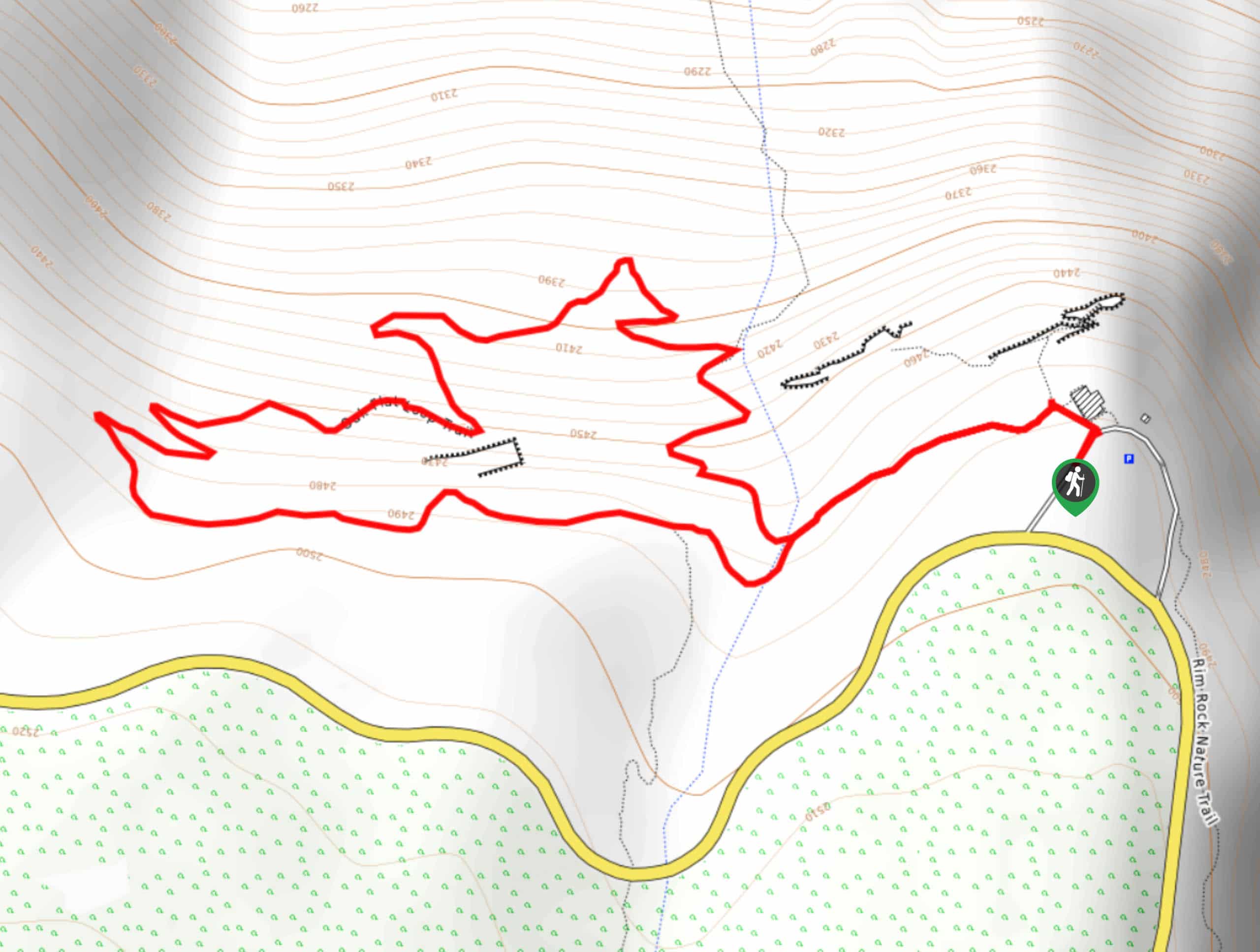
Oak Flat Loop Trail
The Oak Flat Loop is a great little hike in the Black Canyon of the Gunnison Wilderness. This loop will…
Cedar Point Nature Trail
Adventure the Cedar Point Nature Trail towards breathtaking views of the Painted Wall and surrounding steep walled cliffs. Positioned on…
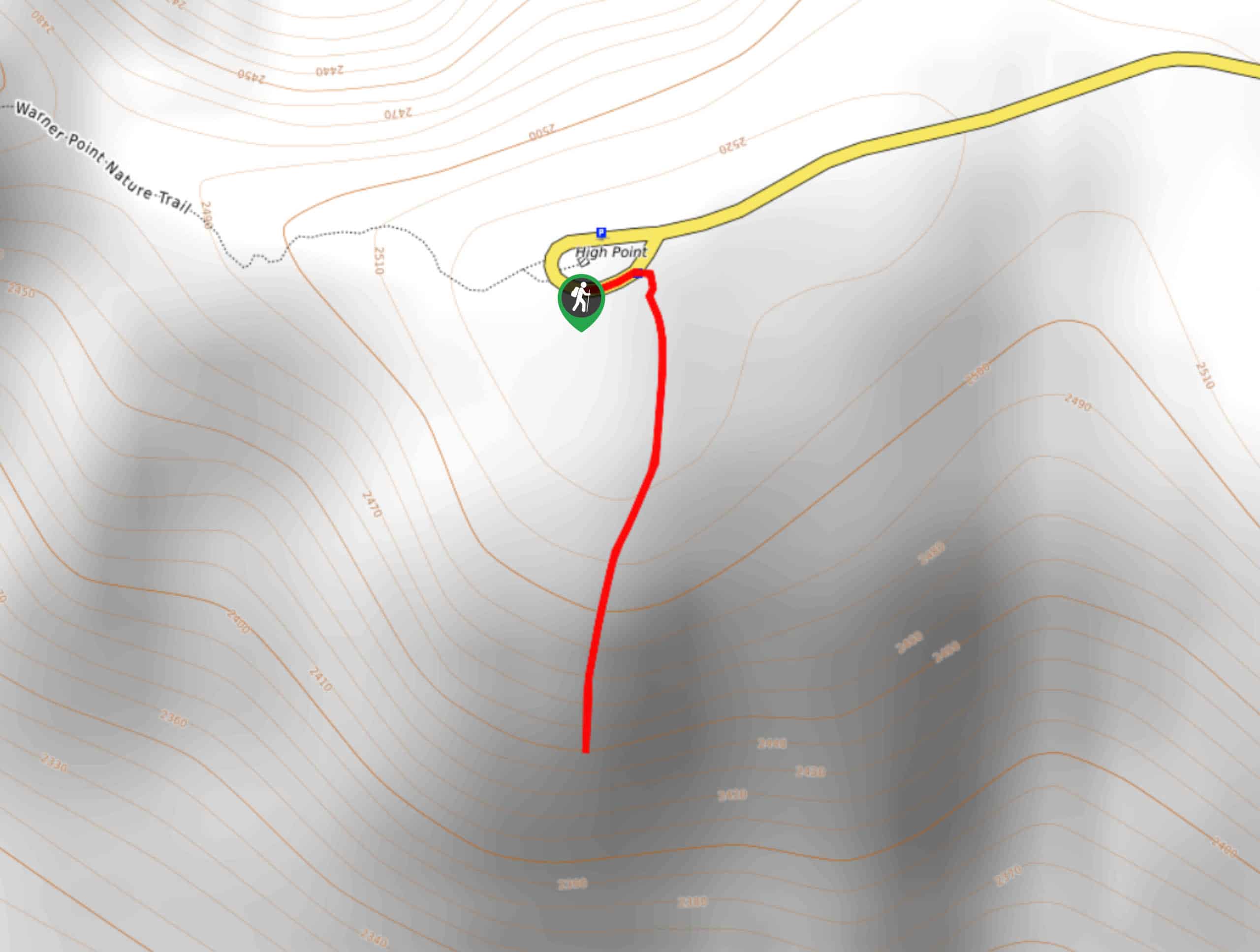
High Point Trail
The High Point Trail is another breathtaking lookout in the Black Canyon of the Gunnison National Park. Walk along the…
Comments