Deadhorse Loop Trail
View Photos
Deadhorse Loop Trail
Difficulty Rating:
If you are looking to escape the typical Black Canyon of the Gunnison lookout hikes, the Deadhorse Loop Trail will prove to be a welcome change. Don’t get us wrong, you will still get those quintessential Black Canyon and Gunnison River views! Meander through the Colorado desert, past lush aspen trees and along the wildflower dotted path. People of all ages and of all skill levels will enjoy this hike!
Getting there
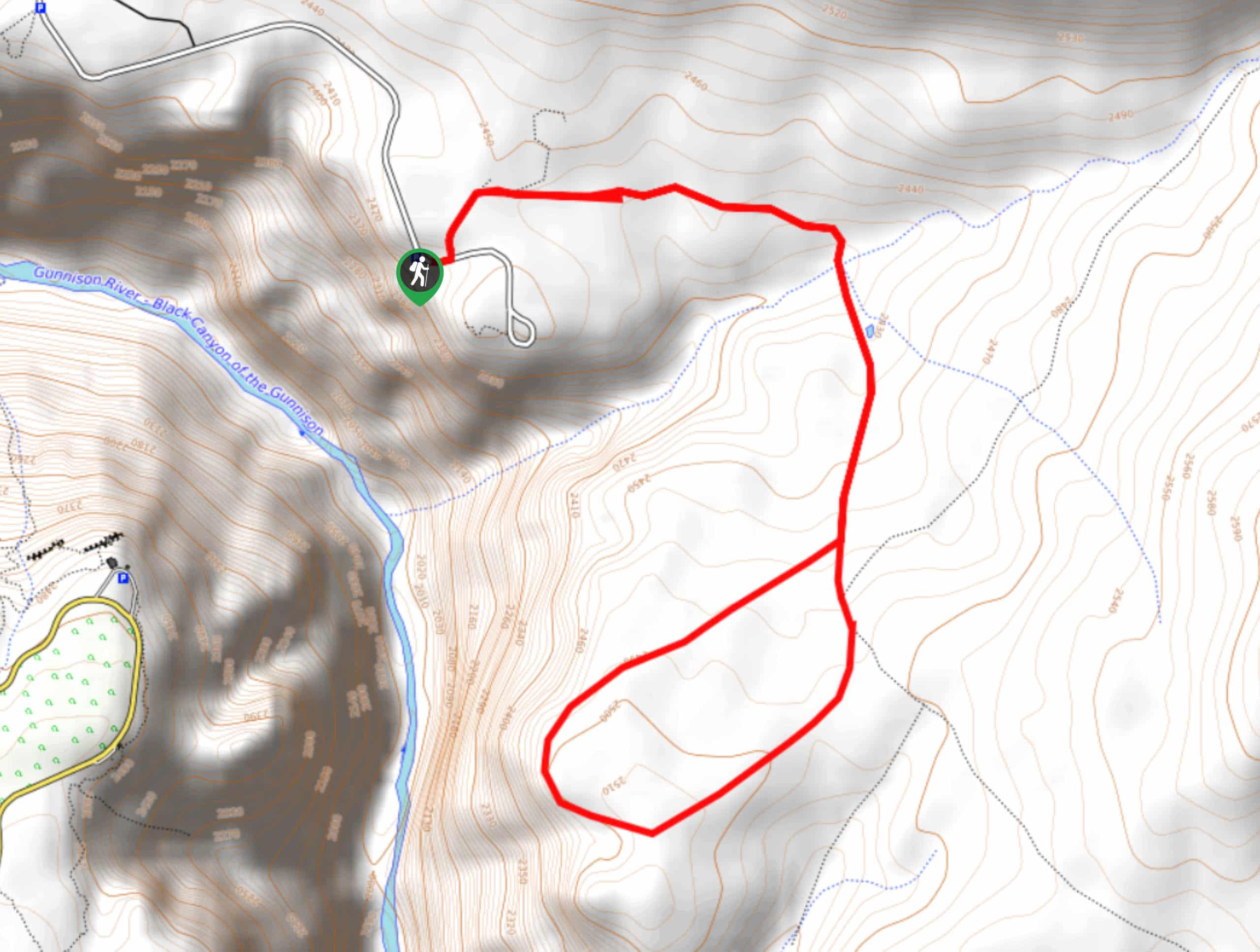
The Deadhorse Loop Trail is off of North Rim Drive. Park in the Kneeling Camel Lookout Parking Lot.

About
| Backcountry Campground | No |
| When to do | May-October |
| Pets allowed | No |
| Family friendly | Yes |
| Route Signage | Average |
| Crowd Levels | Low |
| Route Type | Lollipop |
Deadhorse Loop Trail
Elevation Graph
Weather
Deadhorse Loop Trail Description
Explore the Deadhorse Loop Trail on your next excursion to the Black Canyon of the Gunnison National Park. This trail is off the beaten path, so don’t be surprised if you have the lovely route all to yourself. Though it isn’t overly challenging, this hike is very exposed, thus there is little sun coverage. Bring plenty of water and sunblock. Additionally, keep your eye out for deer, they tend to hang around this area.
Begin your adventure around the Deadhorse Loop Trail from the parking lot. Trek north on the Deadhorse Trail. At the first intersection, veer right, and maintain on this route. Continue along the desert path and enjoy the scenery. Cross over a picturesque babbling creek as the route begins to curve you south. At this point, you will encounter another junction. Here you can go either direction around the loop. Loop around the path as it presents vistas down the Black Canyon and the Gunnison River below.
Enjoy the sights of the Black Canyon prior to completing the loop. From here hook back onto the main trail and retrace your steps back to the parking lot.
Similar hikes to the Deadhorse Loop Trail hike
Oak Flat Loop Trail
The Oak Flat Loop is a great little hike in the Black Canyon of the Gunnison Wilderness. This loop will…
Cedar Point Nature Trail
Adventure the Cedar Point Nature Trail towards breathtaking views of the Painted Wall and surrounding steep walled cliffs. Positioned on…
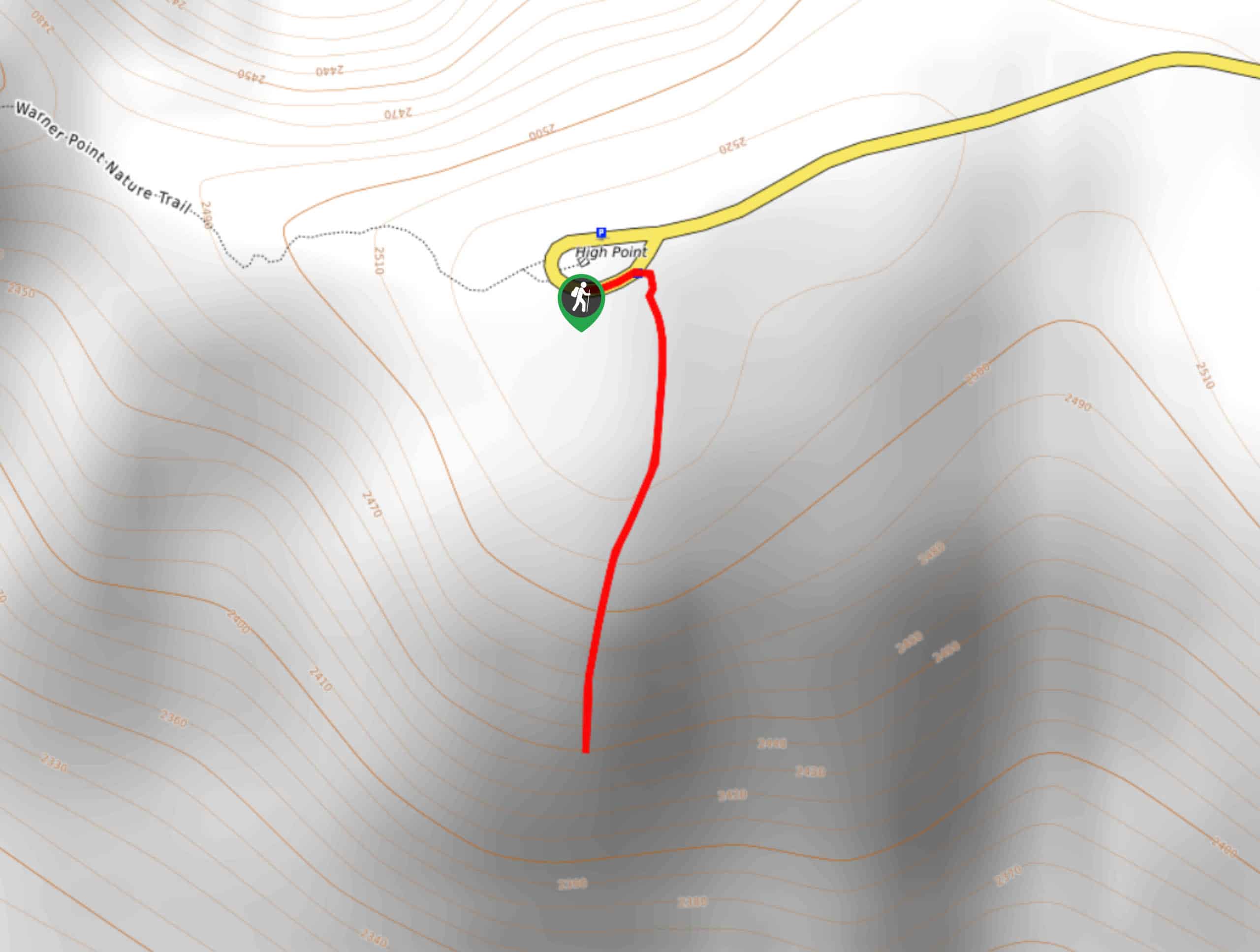
High Point Trail
The High Point Trail is another breathtaking lookout in the Black Canyon of the Gunnison National Park. Walk along the…
Comments