Sun Park Trail
View Photos
Sun Park Trail
Difficulty Rating:
The Sun Park Trail is a connector trail in the Curecanti National Recreation Area. Hike the path up to a scenic vista and turnaround or connect onto the Beaver Creek Route. The Sun Park Trail itself is challenging enough to hike, but if you have more gas in the tank, consider continuing on. Walk through the dense aspen forest on rocky ridges up to brush meadows. Bring your camera because in the summer months the trail is dotted with wildflowers.
Getting there
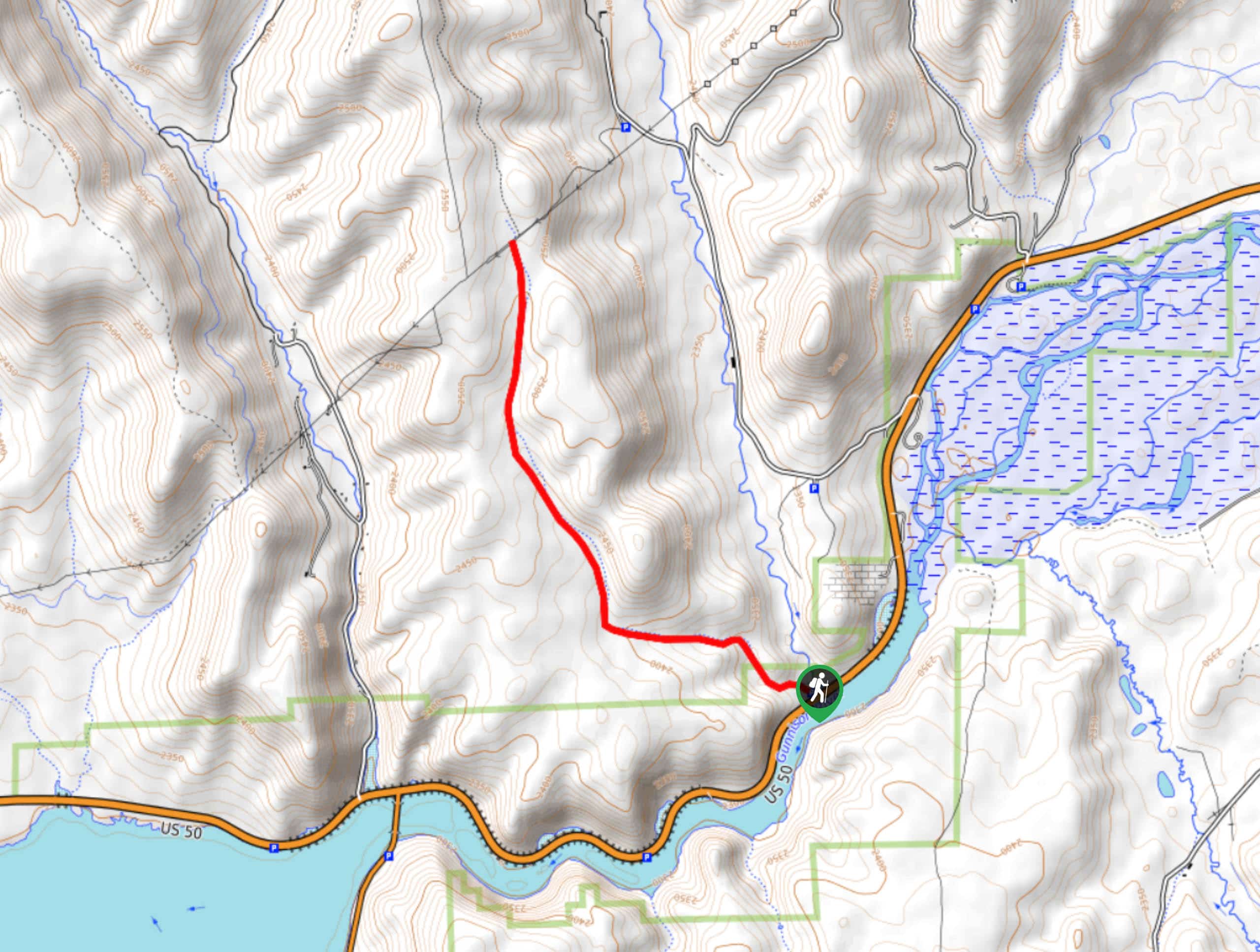
The Sun Park Trailhead in the Beaver Creek Parking Lot off Highway CO-50.

About
| Backcountry Campground | No |
| When to do | May-October |
| Pets allowed | No |
| Family friendly | Yes |
| Route Signage | Average |
| Crowd Levels | Low |
| Route Type | Out and back |
Sun Park Trail
Elevation Graph
Weather
Sun Park Trail Description
Ready for an exciting excursion? The Sun Park Trail is a great trail for hikers of all skill levels. Though there is elevation gain, it is gradual over the course of the hike. Be aware, this route is shared with horseback riders! The hike up to the trail’s end is arguably just as scenic as the culminating viewpoint.
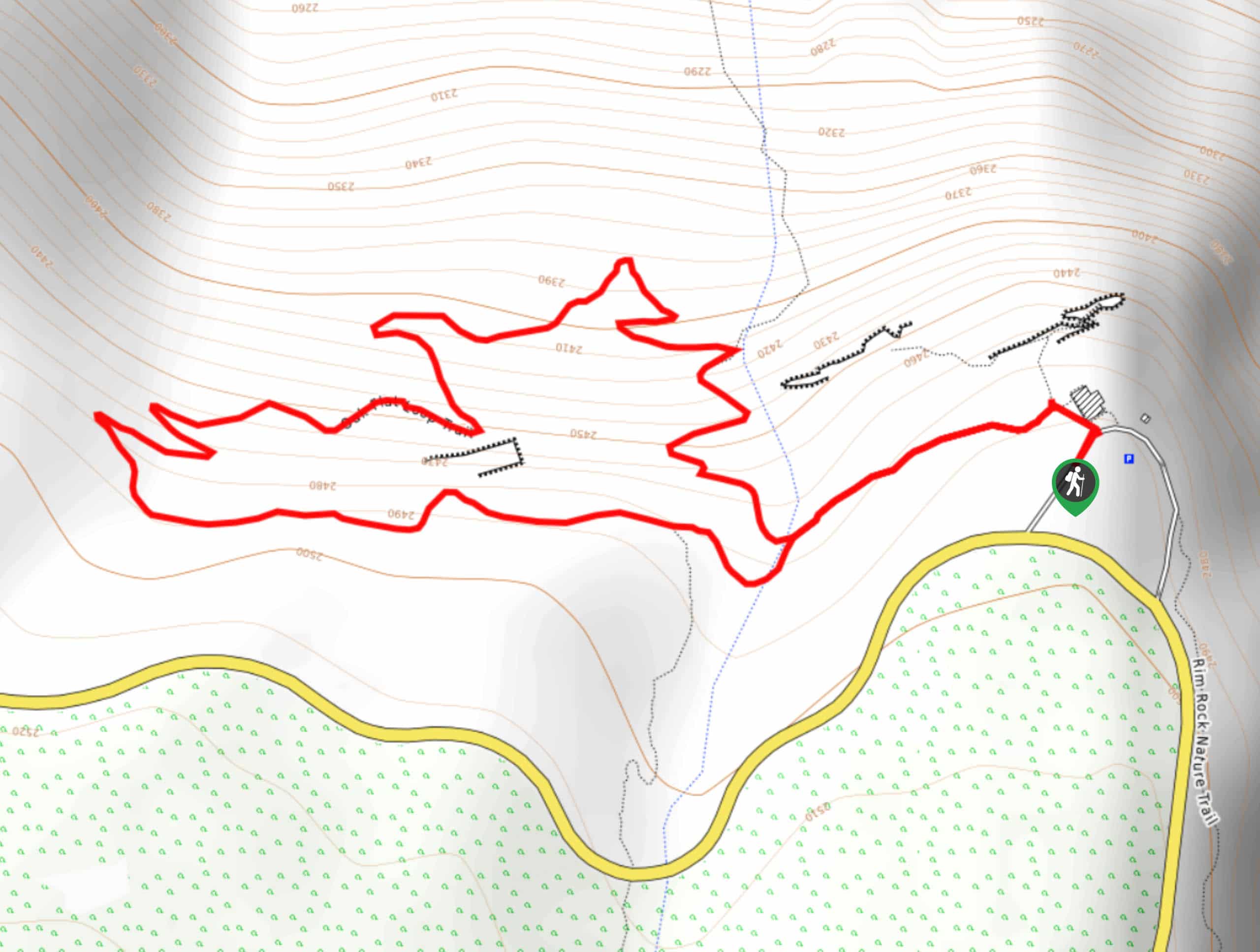
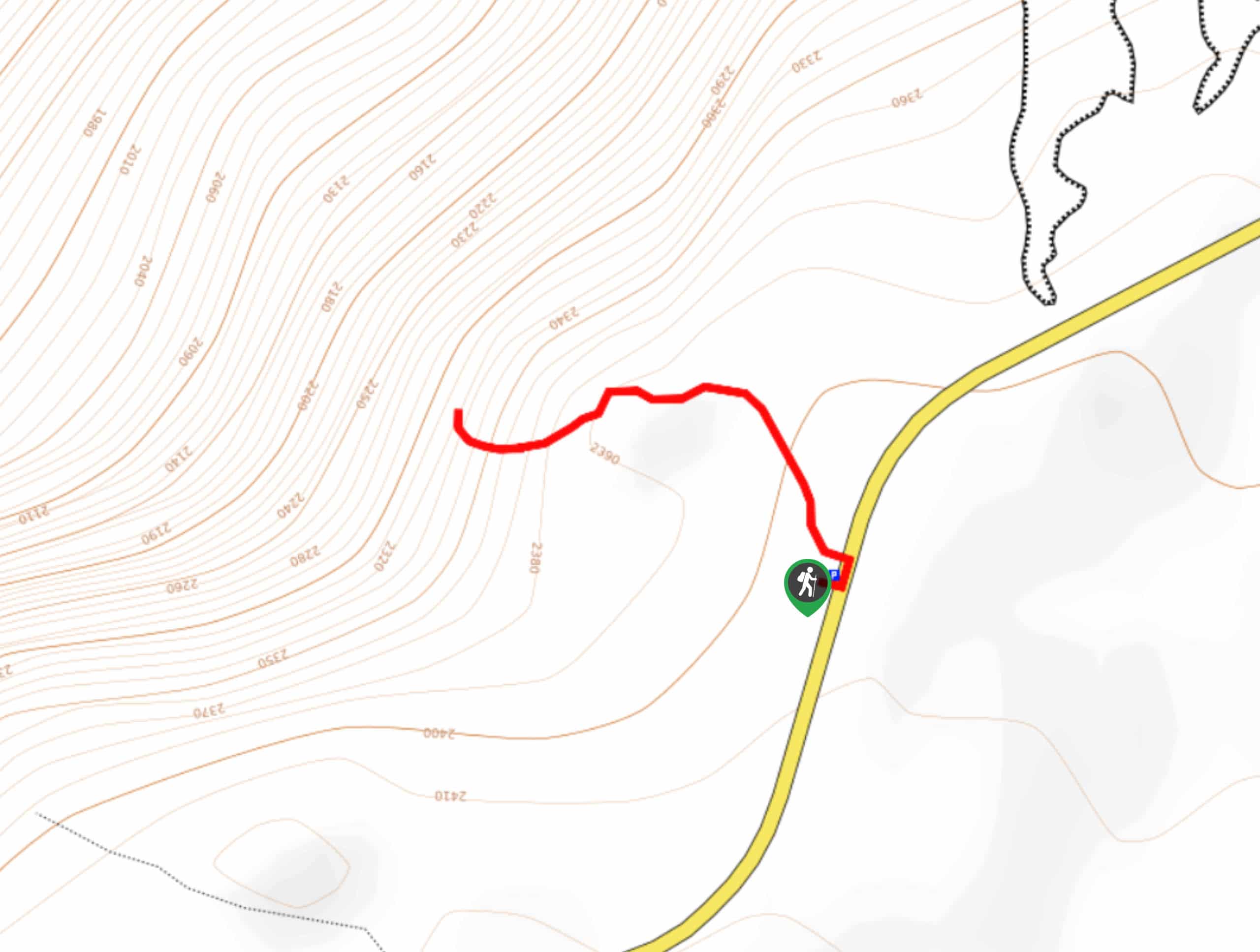
Begin this hike from the Sun Park Trailhead. Track northwest along the trail as it intersects with a stream. Continue hiking along the forested trail as it curves west. At this point, the path will begin to climb. Hike up the trail as it opens into meadows and you ascend to the trail’s end.
If you are seeking a longer adventure, continue on the path as it merges with the Beaver Creek Trail. Note that this is a lengthy extension to your journey if you choose to continue. Nevertheless, at the trail’s end take a break and admire the views of the surrounding landscape before retracing your steps all the way back down to the parking lot.
Similar hikes to the Sun Park Trail hike
Oak Flat Loop Trail
The Oak Flat Loop is a great little hike in the Black Canyon of the Gunnison Wilderness. This loop will…
Cedar Point Nature Trail
Adventure the Cedar Point Nature Trail towards breathtaking views of the Painted Wall and surrounding steep walled cliffs. Positioned on…
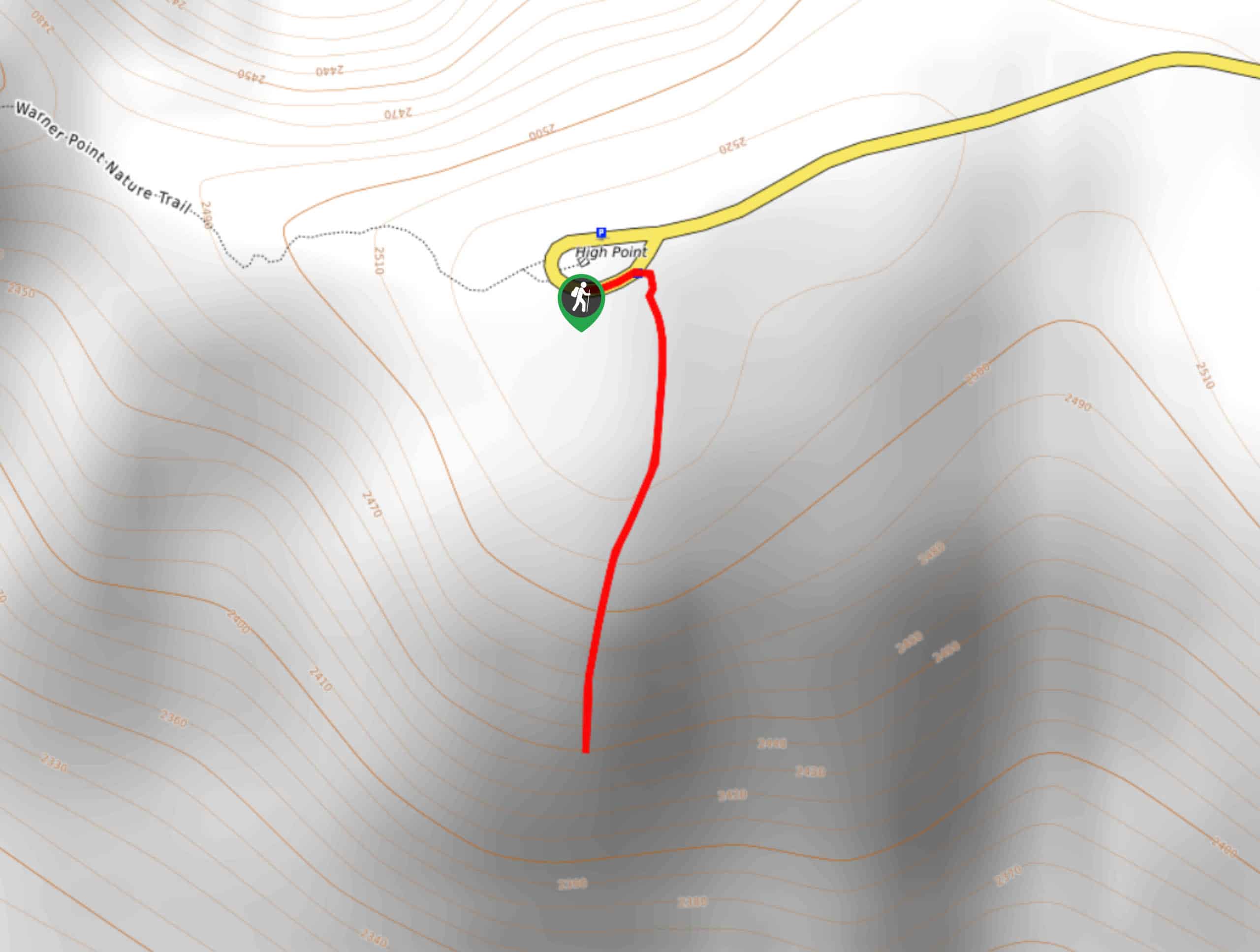
High Point Trail
The High Point Trail is another breathtaking lookout in the Black Canyon of the Gunnison National Park. Walk along the…
Comments