Dead Horse Trail
View Photos
Dead Horse Trail
Difficulty Rating:
The Dead Horse Trail is a primitive trail atop the Black Canyon. The primitive path progresses away from the canyon’s edge and travels through lush Colorado vegetation. Be prepared to do some bushwhacking as parts of the path are overgrown. This lightly trafficked path will ultimately lead you to a hidden gem overlooking the Black Canyon and East Portal.
Getting there
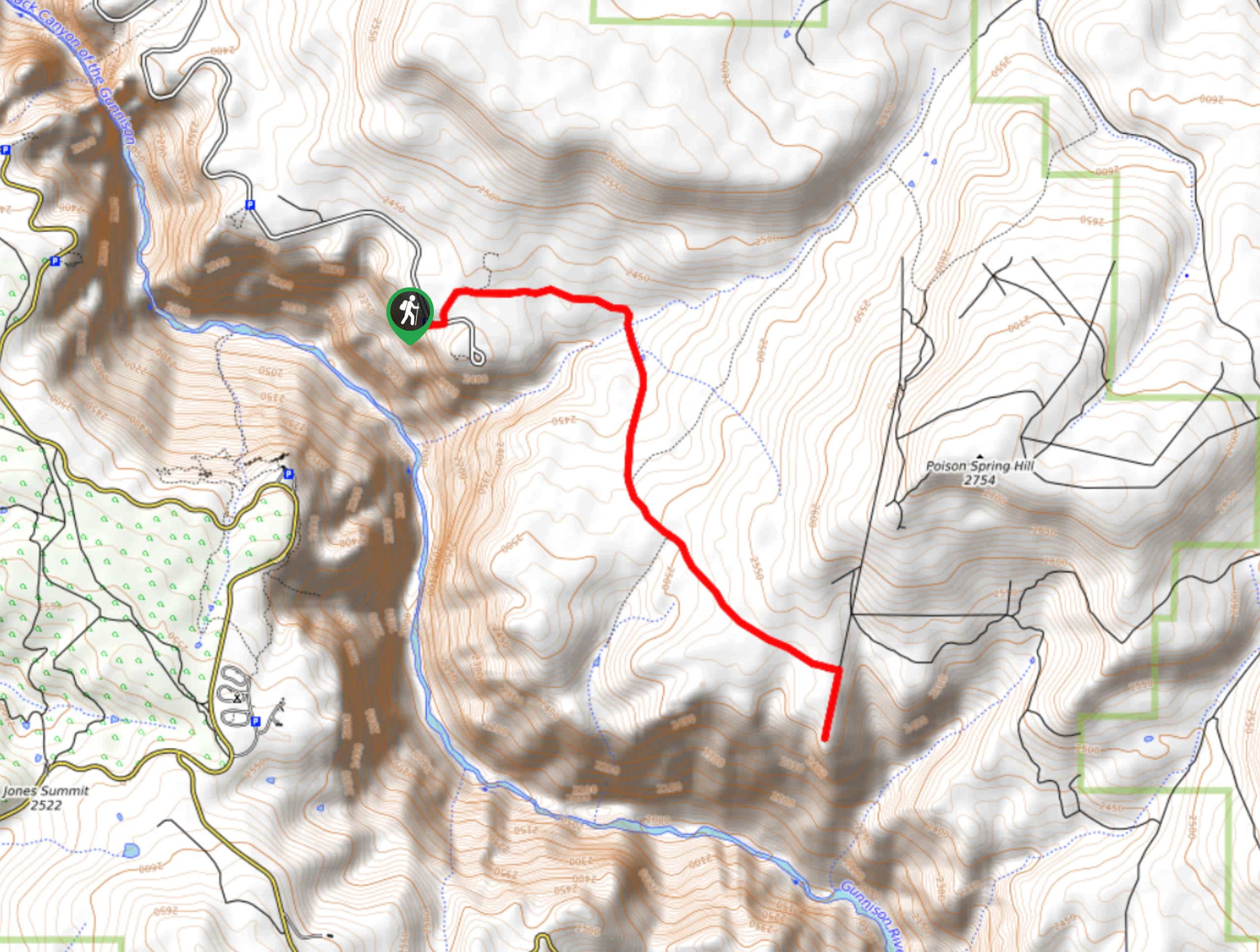
The Dead Horse Trailhead is located off the Kneeling Camel Viewpoint Parking Lot.

About
| Backcountry Campground | No |
| When to do | May-October |
| Pets allowed | No |
| Family friendly | Yes |
| Route Signage | Average |
| Crowd Levels | Low |
| Route Type | Out and back |
Dead Horse Trail
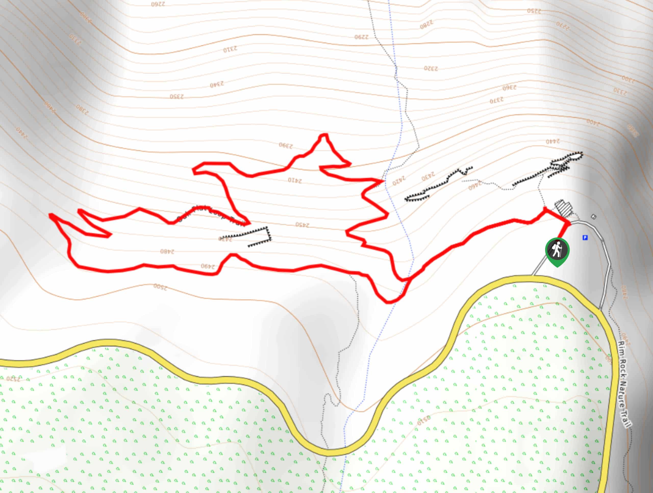
Elevation Graph
Weather
Dead Horse Hike Description
The Dead Horse Trail is a great day hike in the Black Canyon of the Gunnison National Park. Compared to the other trails in the Black Canyon, this hike requires adventurers to hike into the viewpoint. Lush with juniper, mountain mahogany and serviceberry scrubs, you may want to wear pants to avoid any scratches. Additionally, the favorable landscape and unpopularity of this trail contribute to the fact that there are many bears in this area. Be bear aware as you travel this isolated trail and turn around if you confront one.
From the Kneeling Camel Viewpoint Parking Lot, track northeast on the Dead Horse Trail. Continue along the path as it guides you east, past a creek. Notice the old ranger station as you travel the primitive abandoned road. Follow the route to the Deadhorse Gulch Lookout. Enjoy the scenery before heading south down to another, more rewarding overlook. From here you should be able to see the East Portal and the Black Canyon below the Crystal Dam.
Revel in the sights before retracing your steps all the way back to the parking lot.
Similar hikes to the Dead Horse Trail hike
Oak Flat Loop Trail
The Oak Flat Loop is a great little hike in the Black Canyon of the Gunnison Wilderness. This loop will…
Cedar Point Nature Trail
Adventure the Cedar Point Nature Trail towards breathtaking views of the Painted Wall and surrounding steep walled cliffs. Positioned on…
High Point Trail
The High Point Trail is another breathtaking lookout in the Black Canyon of the Gunnison National Park. Walk along the…
Comments