Castle Rock to Lookout Point Hike
View Photos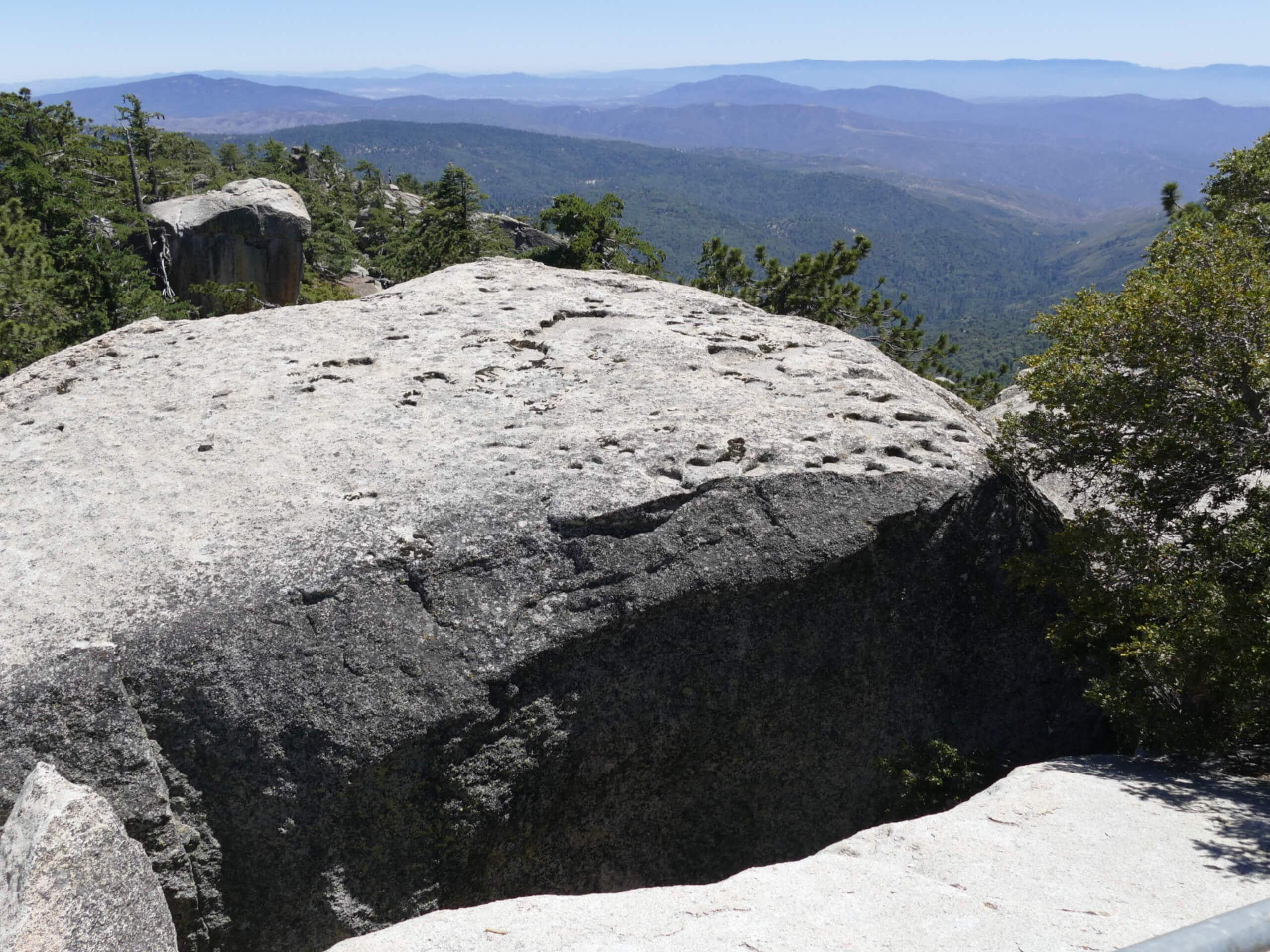
Castle Rock to Lookout Point Hike
Difficulty Rating:
The Castle Rock to Lookout Point Hike is an amazing adventure in the San Bernardino National Forest that will take you to a series of viewpoints with stunning scenery. While out hiking the trail, you will climb uphill through the forest landscape and summit Castle Rock for views over Big Bear Lake, before continuing on past Bluff Lake to arrive at Lookout Point. Hikers should take note that some sections of this trail are poorly marked, so it is a good idea to bring a GPS or trail map to stay on the correct route.
Getting there
The trailhead for the Castle Rock to Lookout Point Hike can be found just 1.2mi southeast of the Bear Valley Dam along CA-18.

About
| Backcountry Campground | No |
| When to do | May-November |
| Pets allowed | Yes - On Leash |
| Family friendly | Older Children only |
| Route Signage | Poor |
| Crowd Levels | Moderate |
| Route Type | Lollipop |
Castle Rock to Lookout Point Hike
Elevation Graph
Weather
Castle Rock to Lookout Point Hike Description
Whether you are simply looking to spend some time hiking through the forest or want to experience some beautiful California scenery from several scenic viewpoints, the Castle Rock to Lookout Point Hike is a great option to get outdoors and unwind.
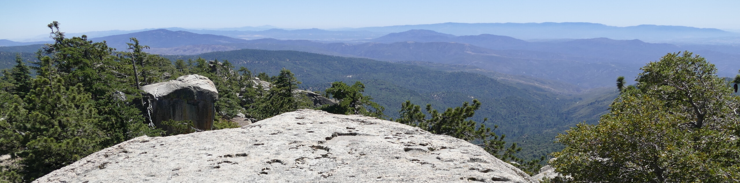
Setting out from the trailhead you will climb uphill to the south alongside Castle Rock Creek, taking your time as you navigate the steep, yet beautiful, forest landscape on the way to the summit of Castle Rock. Here, you will enjoy a great sightline over the surface of Big Bear Lake to the north.
Continuing along the trail as it leads to the southwest, you will eventually skirt around the charming shores of Bluff Lake and keep on through the forest until you arrive at Lookout Point overlooking the mountainous terrain to the south. After taking in the beautiful views, you will make your way back to the northeast and around the shores of Bluff Lake, before meeting back up with Castle Rock Creek and following it downhill to the trailhead where you began.
Similar hikes to the Castle Rock to Lookout Point Hike hike

Bluff Mesa Hike
The Bluff Mesa Hike is a fantastic adventure in Southern California that features a lovely woodland setting and can be…

Palm View Peak Trail
The Palm View Peak Trail is a great hiking route in the San Bernardino National Forest that features a solid…

Cram Peak Ridge Trail
The Cram Peak Ridge Trail is a fantastic, albeit difficult, hiking route in the San Bernardino National Forest that will…
Comments