
Natural Bridge Road Trail
View Photos
Natural Bridge Road Trail
Difficulty Rating:
Leading you through gorgeous and imposing canyons, the Natural Bridge Road Trail is a scenic route that is considered moderate in difficulty. The highlight of the route is the trail's namesake - the natural bridge rock formation that overhangs between the two canyon faces.
Getting there
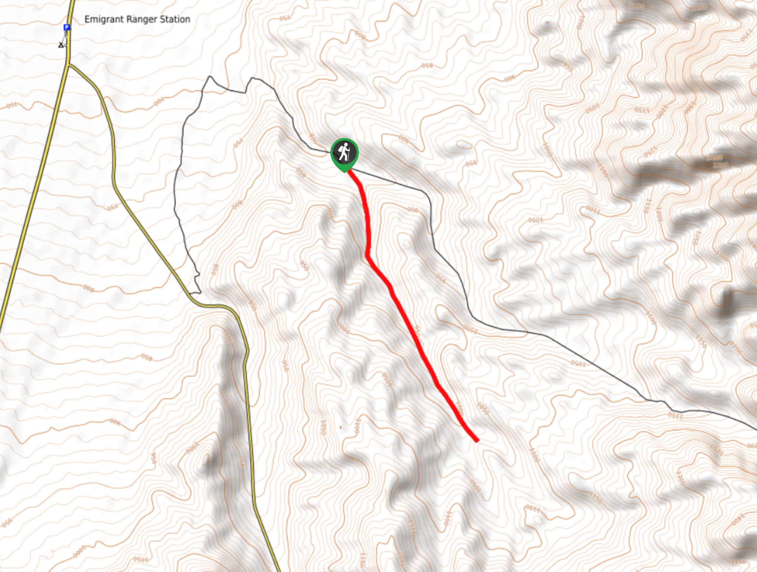
The trailhead for the Natural Bridge Road Trail is located off of Natural Bridge Road in Death Valley National Park.

About
| Backcountry Campground | No |
| When to do | October-April |
| Pets allowed | No |
| Family friendly | Older Children only |
| Route Signage | Average |
| Crowd Levels | High |
| Route Type | Out and back |
Natural Bridge Road Trail
Elevation Graph
Weather
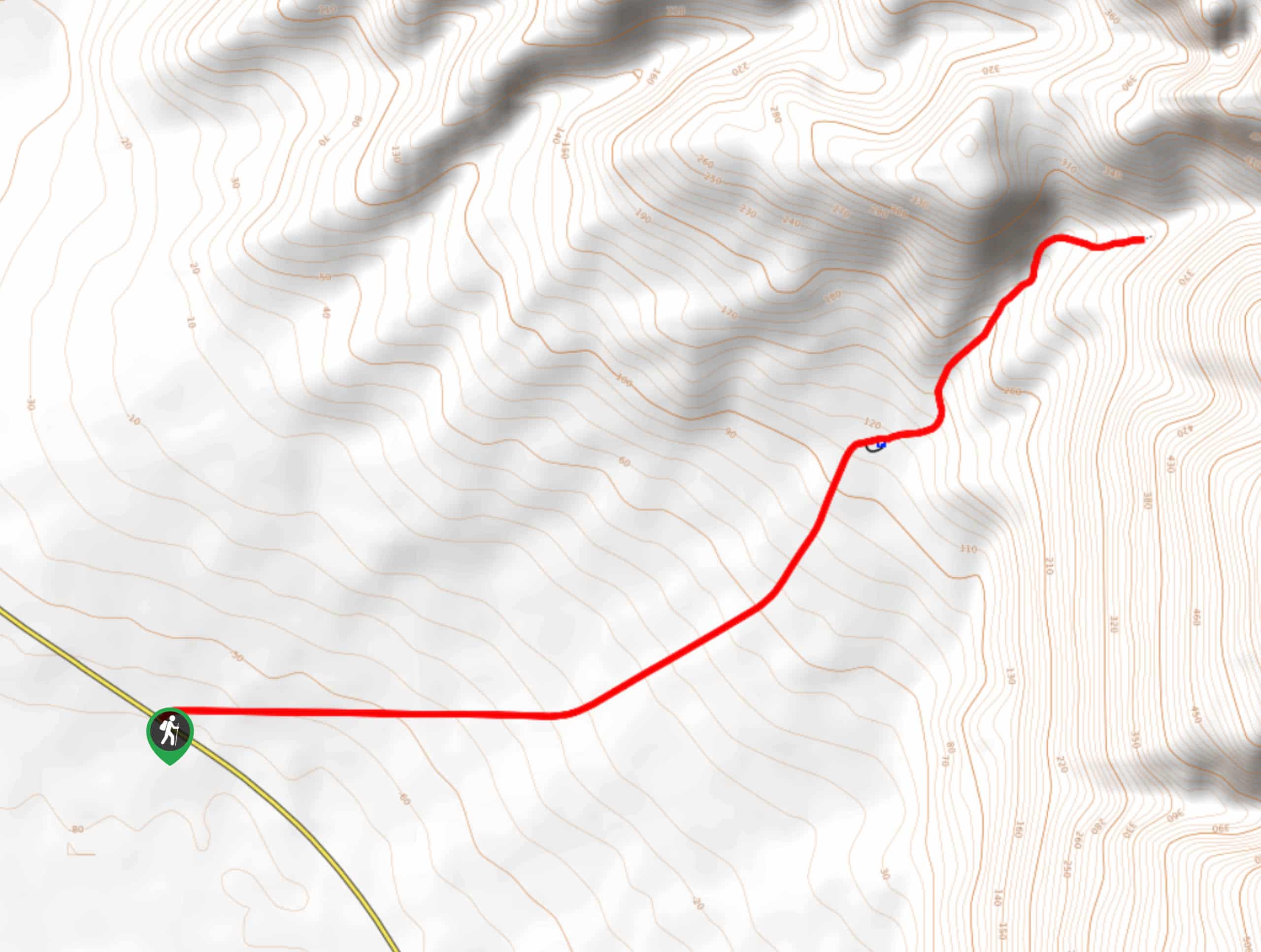
Natural Bridge Road Trail Description
The Nature Bridge Road Trail can be started at two different locations. You can either choose to do the route starting from Badwater Road and hiking up Natural Bridge Road or you can drive up Natural Bridge Road and use the designated trailhead. We recommend using the allotted trailhead as walking along designated park roads can be dangerous.
Having arrived at the trailhead, follow the Natural Bridge Trail northeast as it makes its way through a canyon. The Natural Bridge Trail itself is very straightforward. Simply follow the well marked route as it makes its way through the canyon, picking up elevation as it goes.
The Natural Bridge Trail will bring you to the natural bridge and other unique rock formations, where it will then end. After you have gotten a chance to enjoy the view and take some pictures, simply turn around and backtrack your steps towards your vehicle.
Similar hikes to the Natural Bridge Road Trail hike
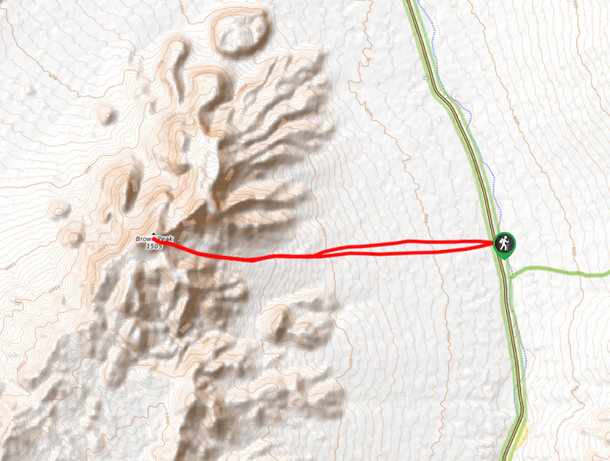
Brown Peak Trail
A longer route with a fair amount of elevation gain, the Brown Peak Trail should only be attempted by experienced…
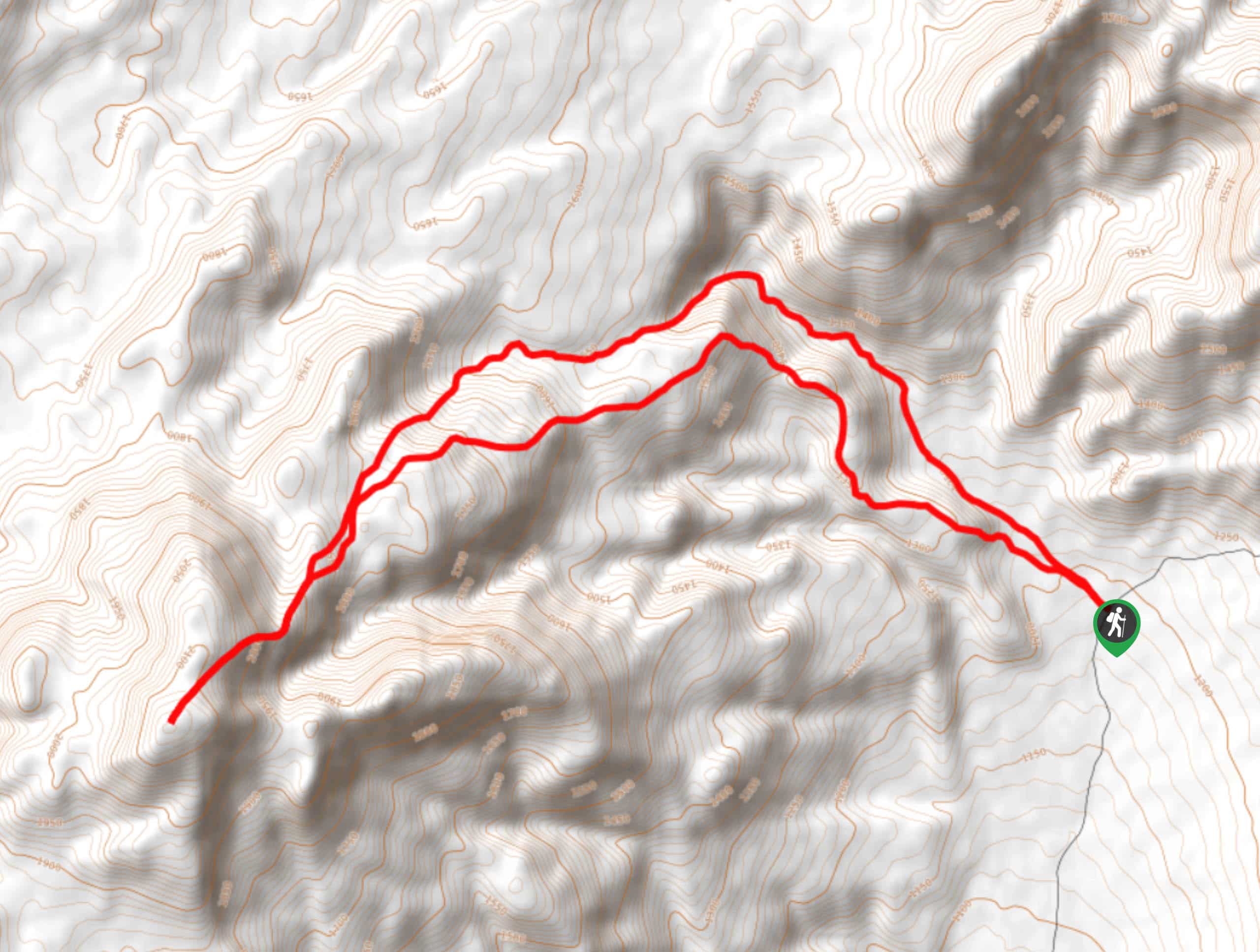
Saline Mountain Trail
A physically demanding but beautiful route, the Saline Mountain Trail is a must do for experienced hikers in Death Valley…
Lower Telephone Canyon Trail
A difficult route that leads to an incredible vista where panoramic views of the surrounding area can be enjoyed, the…
Comments