Gower Gulch Loop Trail
View Photos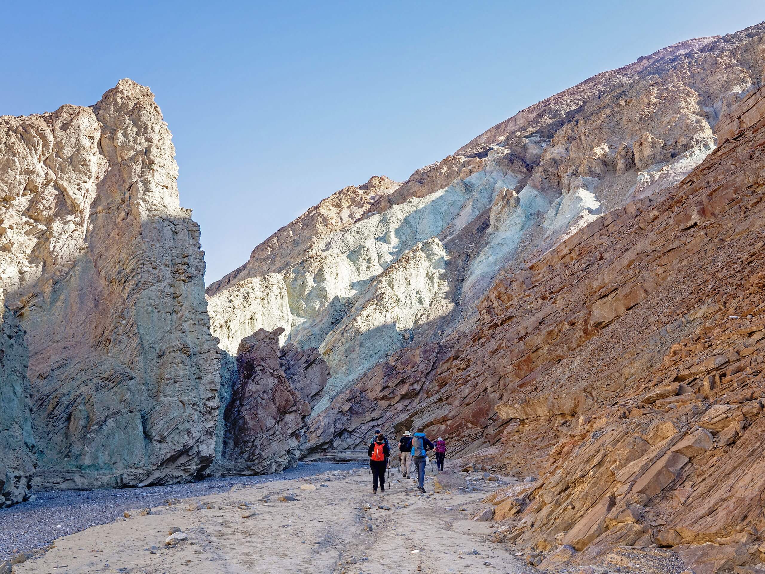
Gower Gulch Loop Trail
Difficulty Rating:
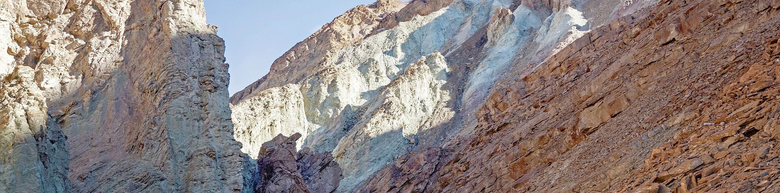
Gower Gulch Loop Trail is a moderately difficult route within Death Valley National Park. An incredibly scenic route, the Gower Gulch Loop Trail will bring you through large canyons and alongside unique rock formations.
Getting there
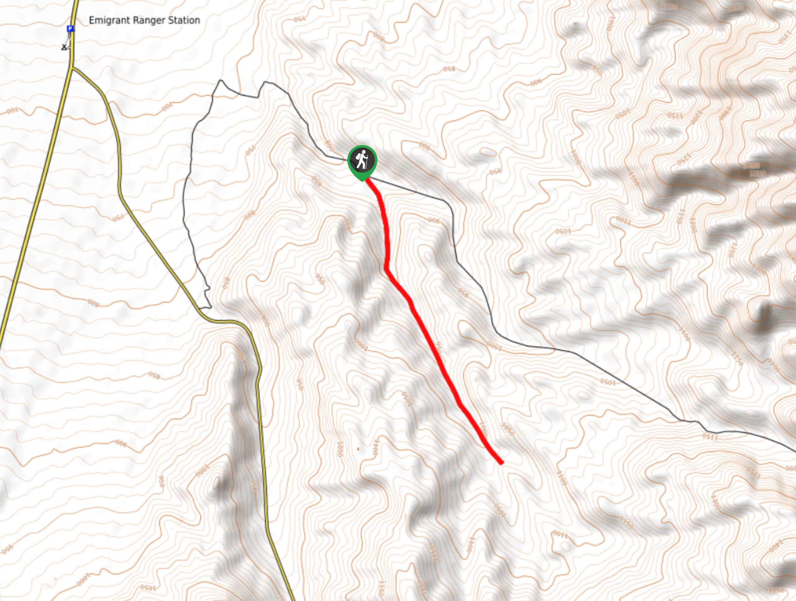
The trailhead for Gower Gulch Loop Trail is located at a parking lot off of Badwater Road.

About
| Backcountry Campground | Texas Spring Campground |
| When to do | September-May |
| Pets allowed | No |
| Family friendly | Older Children only |
| Route Signage | Average |
| Crowd Levels | High |
| Route Type | Circuit |
Gower Gulch Loop Trail
Elevation Graph
Weather
Gower Gulch Loop Trail Description
The Gower Gulch Loop Trail is an incredibly beautiful route but – like most routes within Death Valley National Park – can become intensely hot. We therefore recommend starting the hike earlier in the morning to avoid the midday heat. It is also a good idea to bring lots of water, and wear both sunscreen and a hat to help mitigate the effects of the sun.
Having arrived at the trailhead, take the southern pathway onto Gower Gulch Loop Trail. The route will continue south alongside the highlands to its east before veering east itself through a canyon. After this short canyon section, the cliffs on either side will taper off slightly, and you will arrive at a short plateau. Continuing on east, you will then arrive at a junction within the trail. At the junction, take the northern pathway a few hundred feet until you arrive at a second junction.
Having arrived at the second junction, take the northern pathway. Following the trail north, the large rock formation of Manly Beacon will be visible in front of you. The Gower Gulch Loop Trail surpasses Manly Beacon on its western side, and then veers slightly to the northwest. After a few hundred feet, the trail will deliver you to another junction, where you will take the Golden Canyon Trail west. Ensuring that you stay on Golden Canyon Trail, it will bring you all the way back to the trailhead, where your vehicle will be waiting for you.
Similar hikes to the Gower Gulch Loop Trail hike
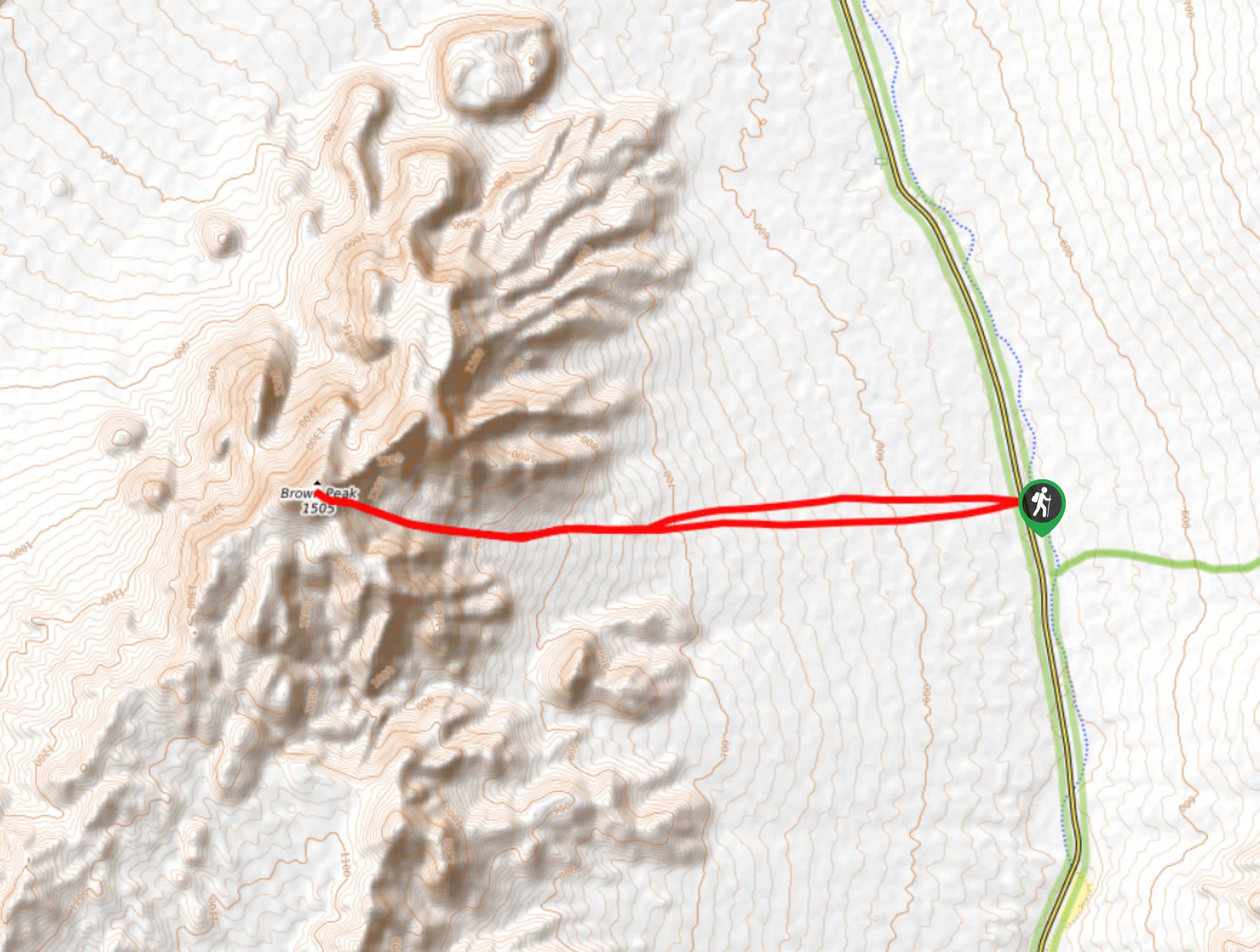
Brown Peak Trail
A longer route with a fair amount of elevation gain, the Brown Peak Trail should only be attempted by experienced…
Saline Mountain Trail
A physically demanding but beautiful route, the Saline Mountain Trail is a must do for experienced hikers in Death Valley…
Lower Telephone Canyon Trail
A difficult route that leads to an incredible vista where panoramic views of the surrounding area can be enjoyed, the…
Comments