Telescope Peak Trail
View Photos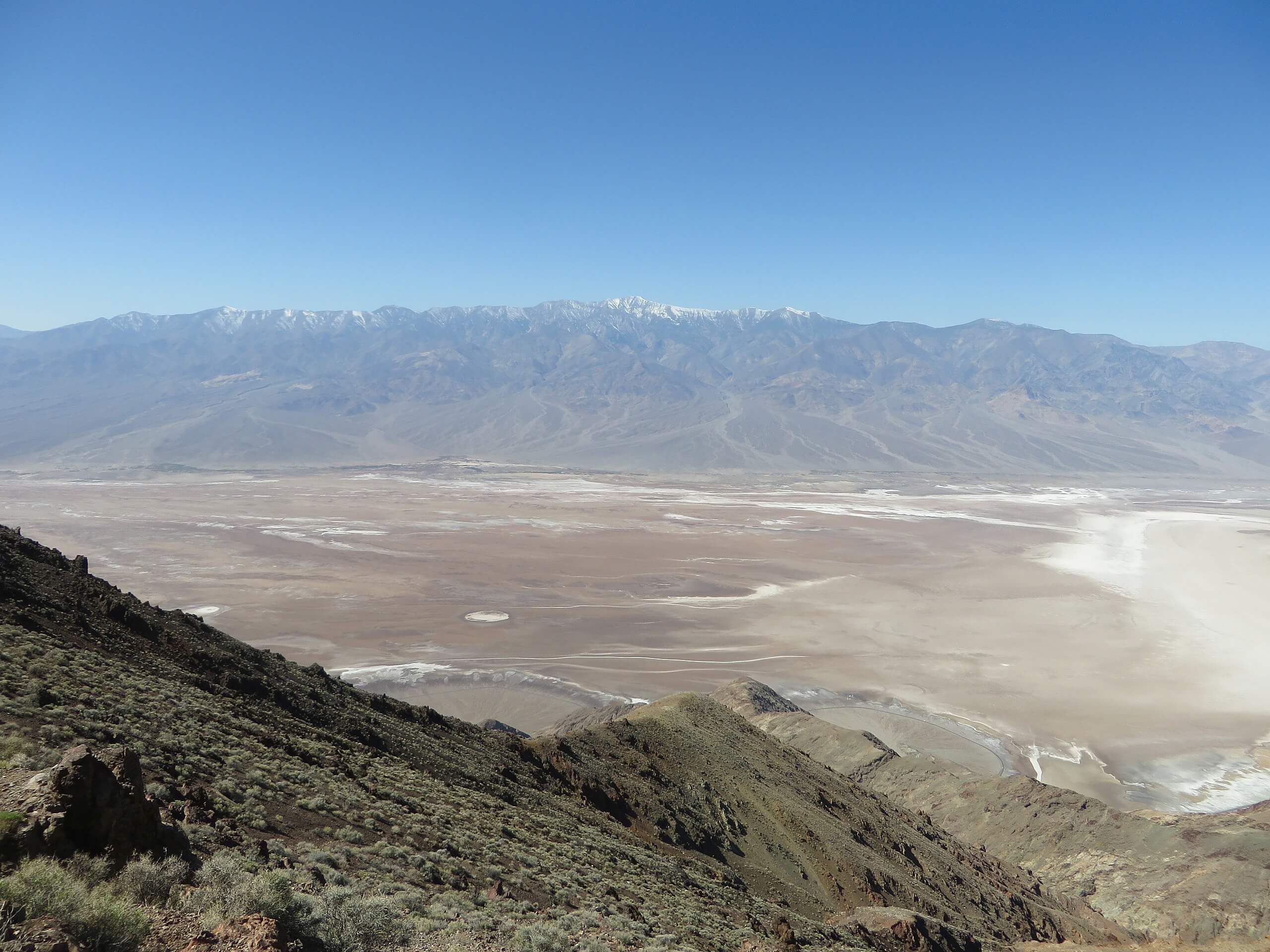
Telescope Peak Trail
Difficulty Rating:
The Telescope Peak Trail is a longer route that possesses a fair amount of elevation fluctuation, and is therefore suitable only for more experienced hikers. For those willing to put in the work, the route brings you to the summit of Telescope Mountain where panoramic views of the surrounding region will take your breath away.
Getting there
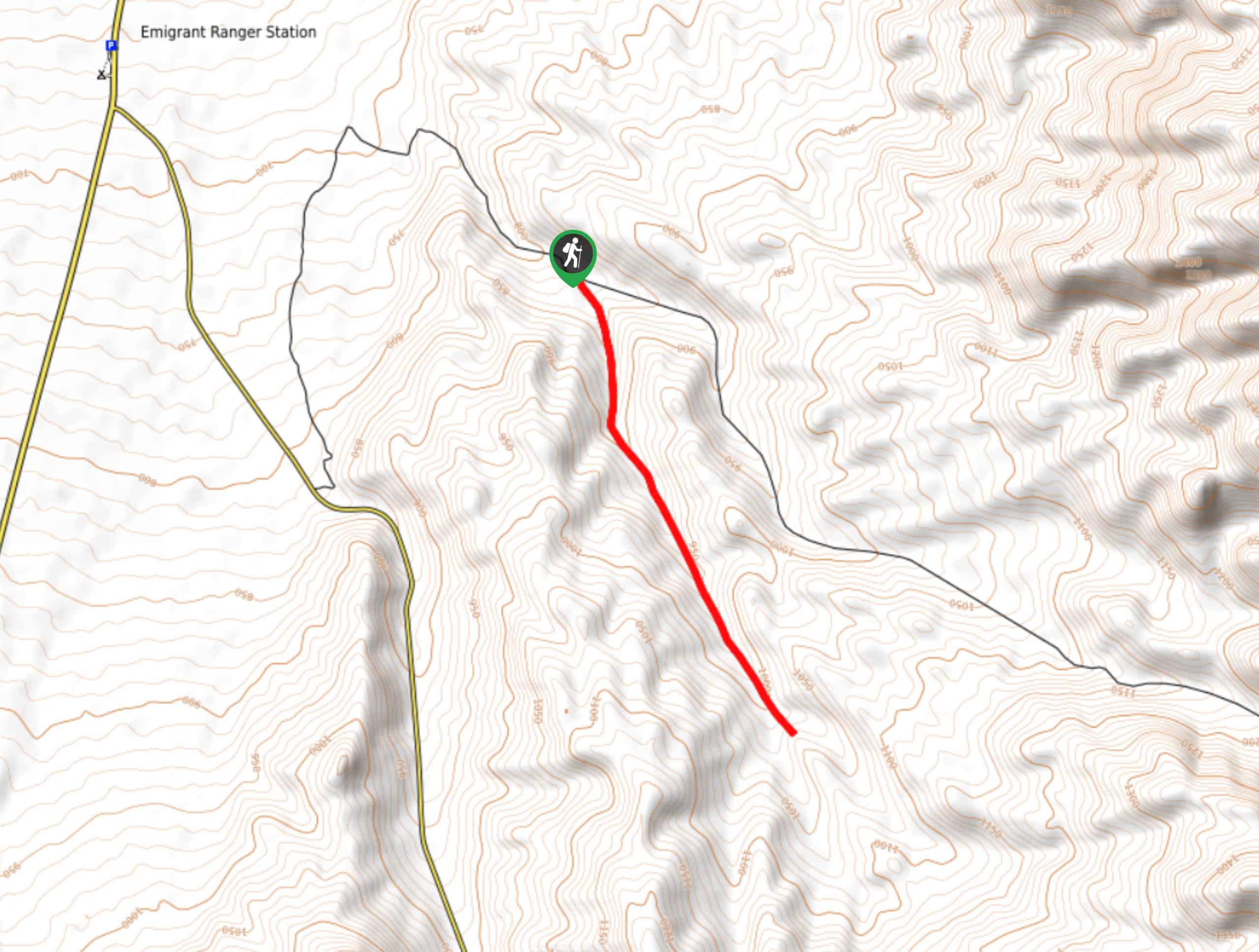
The trailhead for the Telescope Peak Trail is located off of Mahogany Flat Road in Death Valley National Park.

About
| Backcountry Campground | Mahogany Flat Campground |
| When to do | June-October |
| Pets allowed | No |
| Family friendly | No |
| Route Signage | Average |
| Crowd Levels | Moderate |
| Route Type | Out and back |
Telescope Peak Trail
Elevation Graph
Weather
Telescope Peak Trail Description
Traversing difficult terrain in a remote section of Death Valley National Park, the Telescope Peak Trail is suitable only for experienced hikers. It is important that both your skills and equipment are sufficient enough for the undertaking before you attempt the Telescope Peak Trail. In addition to the route difficulty, keep in mind that the Mahogany Flat access road is largely unpaved, and therefore requires a vehicle capable of making it over uneven dirt terrain.
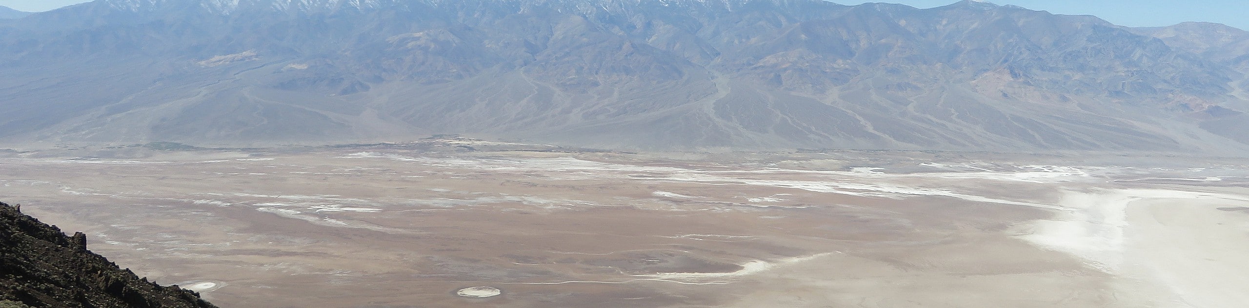
The Telescope Peak Trail itself is regarded as one of the best in Death Valley National Park, and for good reason. Although challenging, the views that can be enjoyed throughout its extent are simply mesmerizing. At its summit, Telescope Mountain will reward you with vistas overlooking a hundred miles of the surrounding landscape.
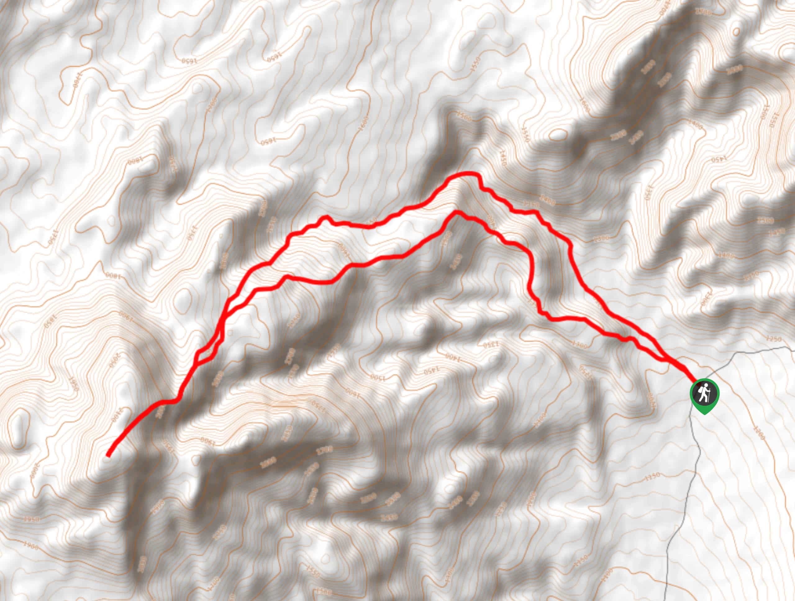
Having arrived at the trailhead, follow the path south along the steep hillside. The path will continue south at a similar gradient before veering to the west. The trail will continue west before reaching the ridge line of Rogers Peak (to your north) and Bennett Peak (to your south). Follow the ridgeline south as it passes Bennett Peak on its western side.
With Bennett Peak surpassed, continue following the ridgeline to the south over gradually inclining terrain. In the foreground, you will be able to see Telescope Peak and, after a short plateau along the ridgeline, the pathway will begin its approach up the mountain itself. Here, the elevation gain begins to become more severe, causing the trail to become more physically demanding.
Soon, however, the trail will turn into a series of switchbacks going north and south in short durations in order to make the incline less steep. After completing the switchback portion of the climb, it is a straight shot to Telescope Peak with only a short amount of elevation to be gained. Having arrived at Telescope peak, take a rest and enjoy the views – you’ve earned it! Once you have gotten your fill of the views, and maybe stopped to have some lunch, simply backtrack your steps towards the trailhead.
Trail highlights
Telescope Peak
Named after the expansive distance one is able to see from its summit, Telescope Peak is an incredible geological specimen. At a height of 11,043 feet (3,366m), its scale is made even more impressive by the nearby Badwater Basin Salt Flats – some 282 feet (87 m) below sea level. Regarded as a quintessential Death Valley National Park hiking route, Telescope Peak attracts visitors from all over the world who come to experience its beauty.
Insider Hints
Keep an eye out for the full sized telescope that some dedicated sole carried all the way up to Telescope Peak!
Make sure you drink lots of water and wear plenty of sunscreen as shelter from the sun is rare throughout the Telescope Peak Trail!
It can get cold at the peak, so a few extra layers are recommended.
Similar hikes to the Telescope Peak Trail hike
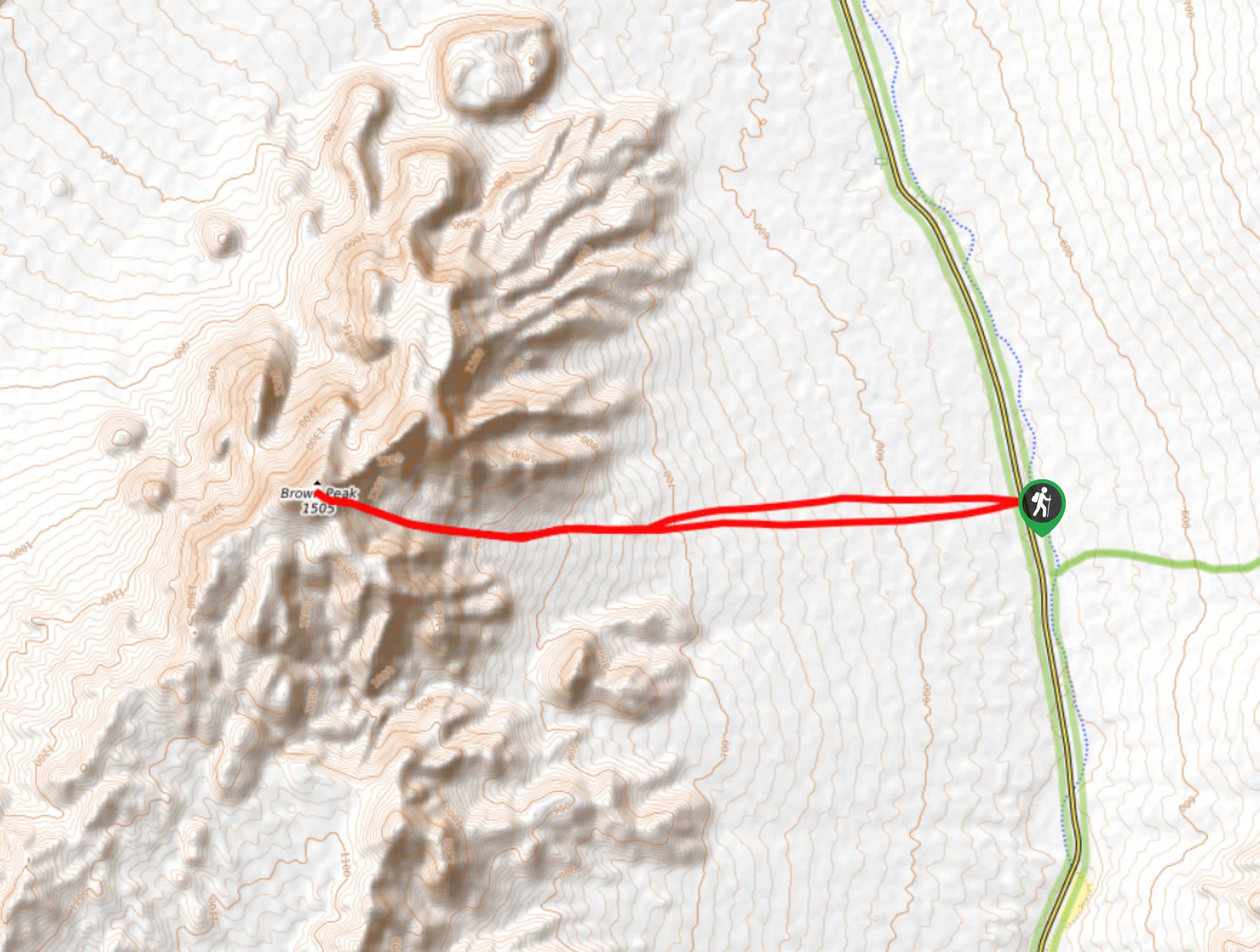
Brown Peak Trail
A longer route with a fair amount of elevation gain, the Brown Peak Trail should only be attempted by experienced…
Saline Mountain Trail
A physically demanding but beautiful route, the Saline Mountain Trail is a must do for experienced hikers in Death Valley…
Lower Telephone Canyon Trail
A difficult route that leads to an incredible vista where panoramic views of the surrounding area can be enjoyed, the…
Comments