
Fall Canyon Trail
View Photos
Fall Canyon Trail
Difficulty Rating:
The Fall Canyon Trail is a scenic route in Death Valley National Park that brings you through a majestic canyon before ending at a beautiful vista. Considered a moderately difficult trail due to its length and elevation incline, the Fall Canyon Trail is also an excellent route for wildlife viewing.
Getting there
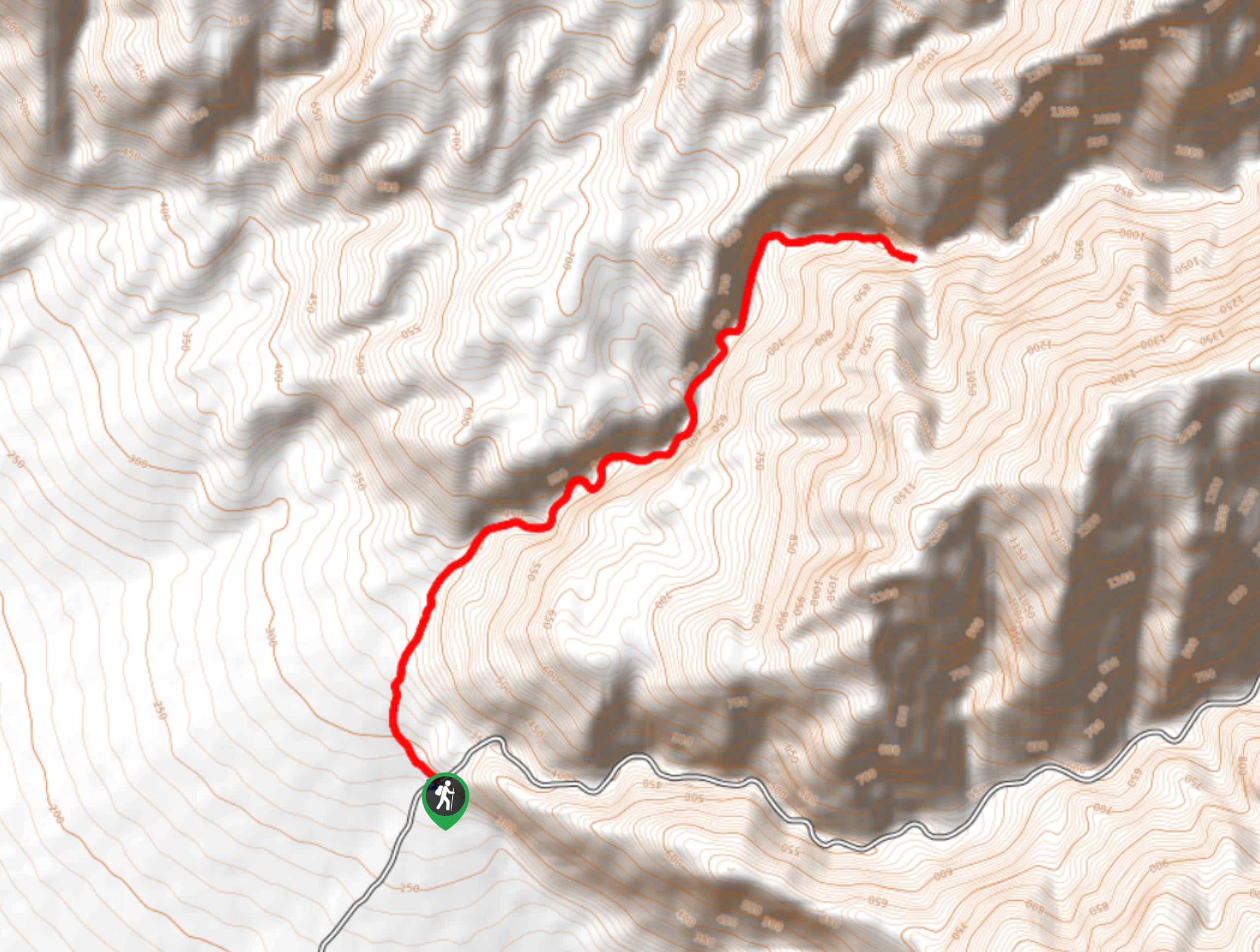
The trailhead for Fall Canyon Trail is located off of Titus Canyon Road.

About
| Backcountry Campground | No |
| When to do | October-May |
| Pets allowed | No |
| Family friendly | No |
| Route Signage | Average |
| Crowd Levels | Low |
| Route Type | Out and back |
Fall Canyon Trail
Elevation Graph
Weather
Fall Canyon Trail Description
As the Fall Canyon Trail is within the desert environment of Death Valley National Park, it is important that you prepare yourself for the arid conditions. Make sure that you bring lots of water with you and that you wear both sunscreen and a hat. It is also recommended that you start this hike earlier in the day to beat the insane midday heat.
Having arrived at the trailhead, make your way north along Fall Canyon Trail. Almost immediately the path will begin to steadily incline in elevation as you make your way alongside the highlands to your east. Fall Canyon Trail will then veer to the east, entering Fall Canyon itself. The canyon walls will grow more imposing as you make your way deeper into its chasm, and the trail will continue to incline in elevation.
The Fall Canyon Trail will then head to the northeast for a few hundred feet, before turning sharply to the east. After inclining some steep terrain, you will arrive at a small plateau where scenic views can be enjoyed. Once you have had an opportunity to enjoy the sights, simply backtrack your steps towards the trailhead.
Similar hikes to the Fall Canyon Trail hike
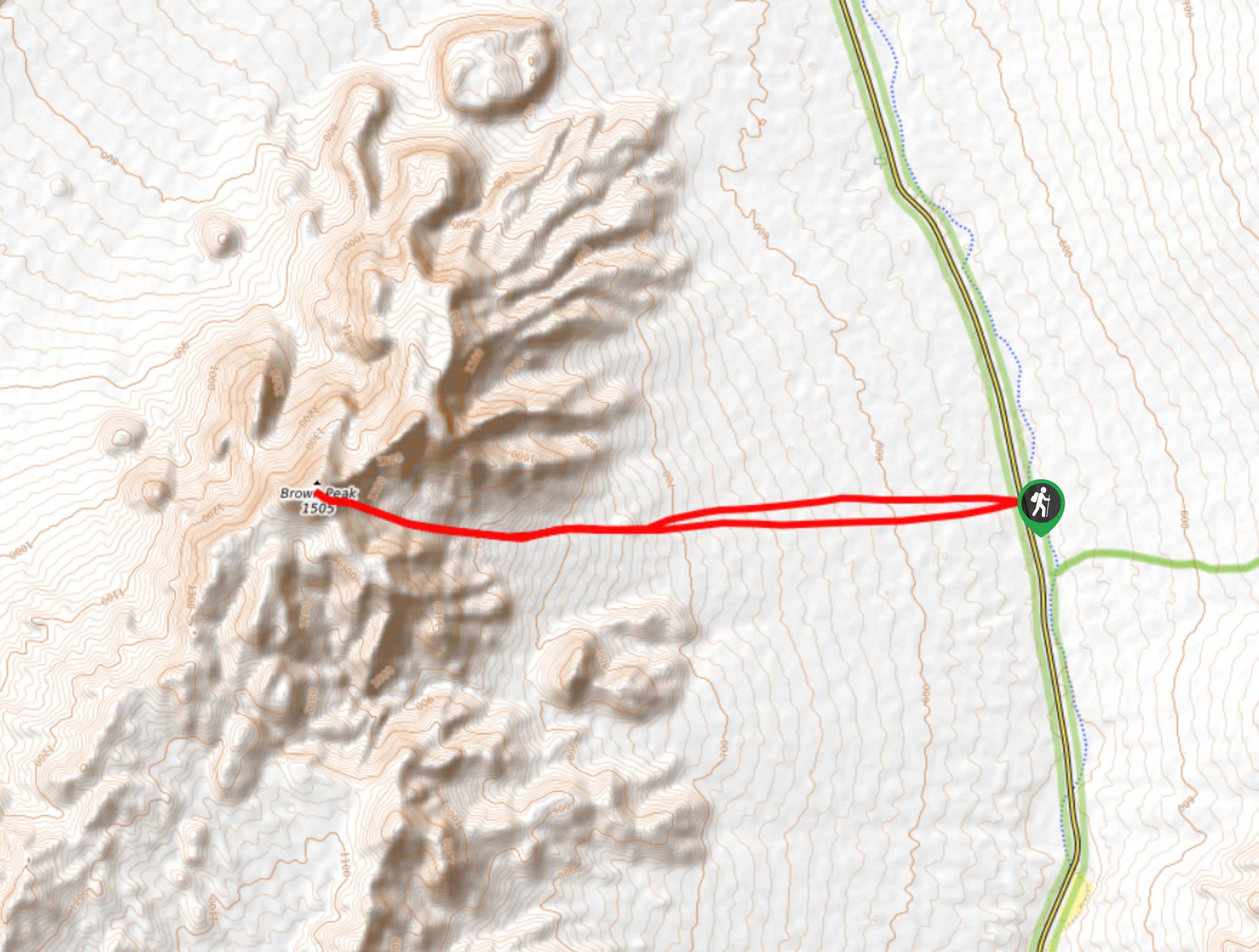
Brown Peak Trail
A longer route with a fair amount of elevation gain, the Brown Peak Trail should only be attempted by experienced…
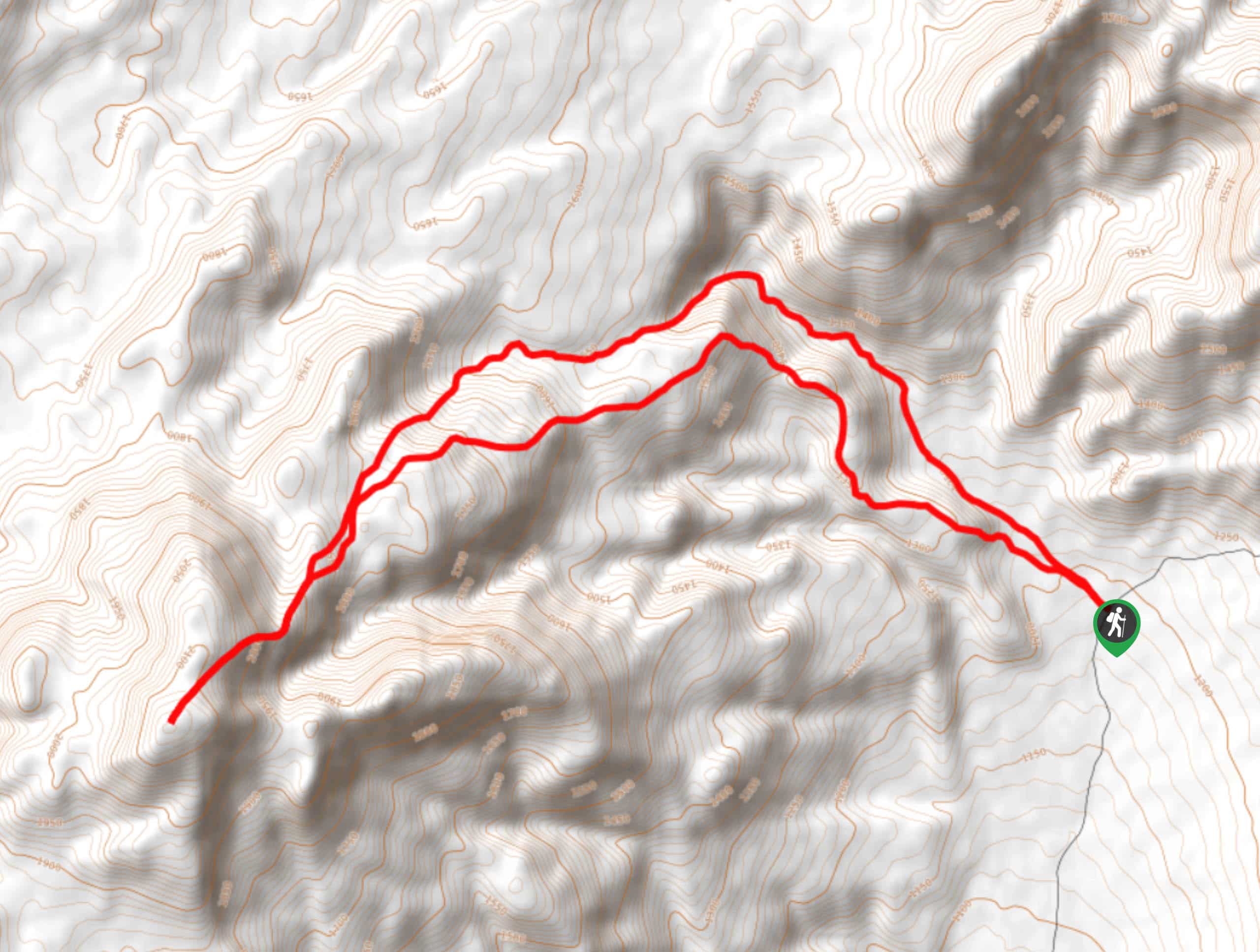
Saline Mountain Trail
A physically demanding but beautiful route, the Saline Mountain Trail is a must do for experienced hikers in Death Valley…
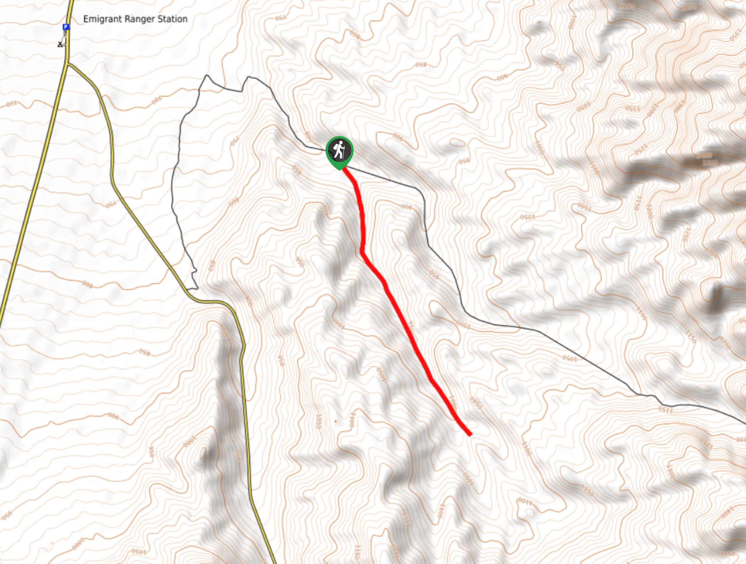
Lower Telephone Canyon Trail
A difficult route that leads to an incredible vista where panoramic views of the surrounding area can be enjoyed, the…
Comments