Starr Pass and Rock Wren Loop
View Photos
Starr Pass and Rock Wren Loop
Difficulty Rating:
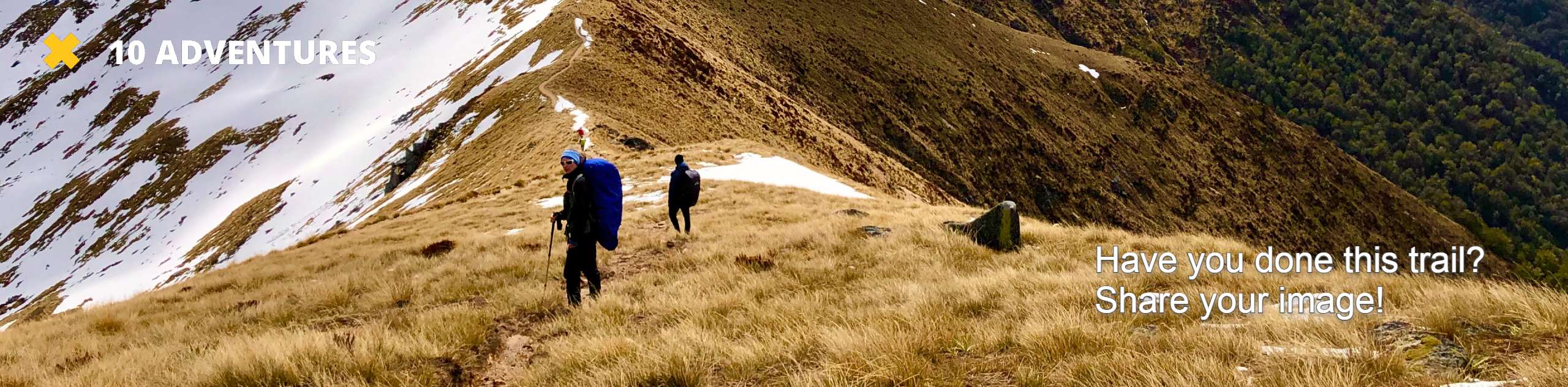
The Starr Pass and Rock Wren Loop leads you through the eastern side of Tucson Mountain Park, offering a nice break in nature over 7.2mi of moderately difficult trail. This route is well marked and offers the chance to see some local wildlife (including coyotes, so remember that dogs are not permitted on this trail). The route also connects to a wider range of trails, so you could easily extend to personalize your adventure if you wanted to. Wear sturdy boots for this rocky trail.
Getting there
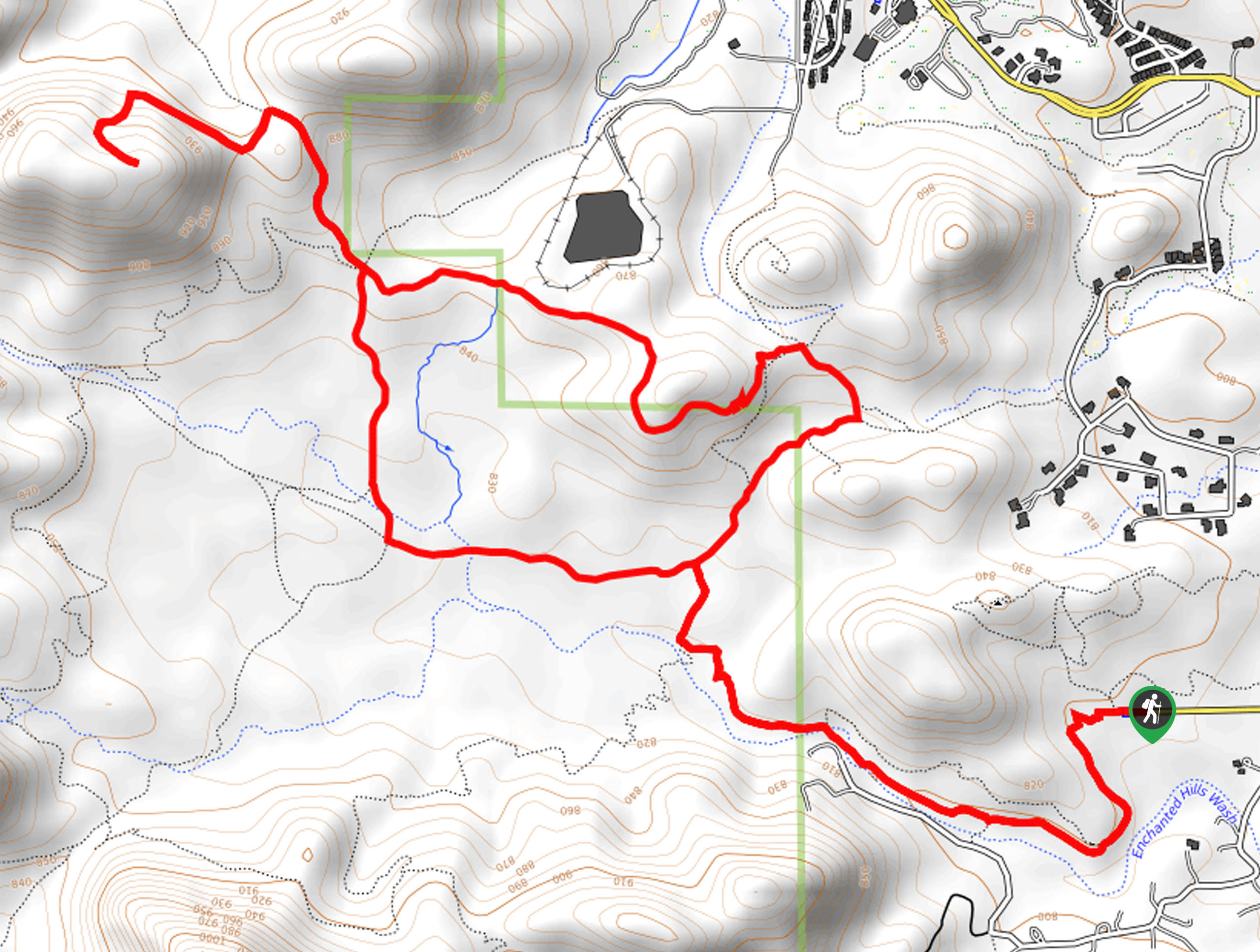
The trailhead for the Starr Pass and Rock Wren Loop is at the end of W 36th Street.

About
| Backcountry Campground | No |
| When to do | October-May |
| Pets allowed | No |
| Family friendly | Yes |
| Route Signage | Good |
| Crowd Levels | Moderate |
| Route Type | Loop |
Starr Pass and Rock Wren Loop
Elevation Graph
Weather
Starr Pass and Rock Wren Loop Description
Tucson Mountain Park has lots of trails that can make for enjoyable half-day outings, and the Starr Pass and Rock Wren Trail is a loop known for its enjoyable scenery and easy nature. This 7.2mi trail is well marked, never very steep (except for the end, which you could omit), and allows you to appreciate the plants and animals that call this park home.
This route is quite rocky, so we recommend sturdy boots. Bring plenty of water and avoid hiking in the heat of the day if you can. Additionally, remember that dogs are not permitted in the park, which is important to adhere to due to the frequency of coyote sightings on this trail.
From the trailhead at the end of the street, you’ll drop down to hike alongside the creek bed beside Mockingbird Lane. Hike up to the point where the trail splits. Most hikers go clockwise, so stay left and enjoy the mostly flat route as you admire the hills ahead. At the 4-way junction, stay right. At the next junction, go straight to climb up to the viewpoint. If you want a more relaxed route, you could skip this climb. Heading back, stay left onto Rock Wren Trail and then loop south onto Starr Pass Trail to rejoin the trail to the starting point.
Similar hikes to the Starr Pass and Rock Wren Loop hike

Shantz, Cholla, and Cactus Forest Loop
The Shantz, Cholla, and Cactus Forest Loop is an easy trail in Tucson’s Saguaro National Park East. The star of…

Cactus Forest, Squeeze Pen, and Pink Hill Loop
The Cactus Forest, Squeeze Pen, and Pink Hill Loop is an easy trail in Tucson’s Saguaro National Park East. This…

Hugh Norris, Sendero Esperanza, and Dobbie Wash Loop
The Hugh Norris, Sendero Esperanza, and Dobbie Wash Loop is a bit of a mouthful, but it’s a great hike…
Comments