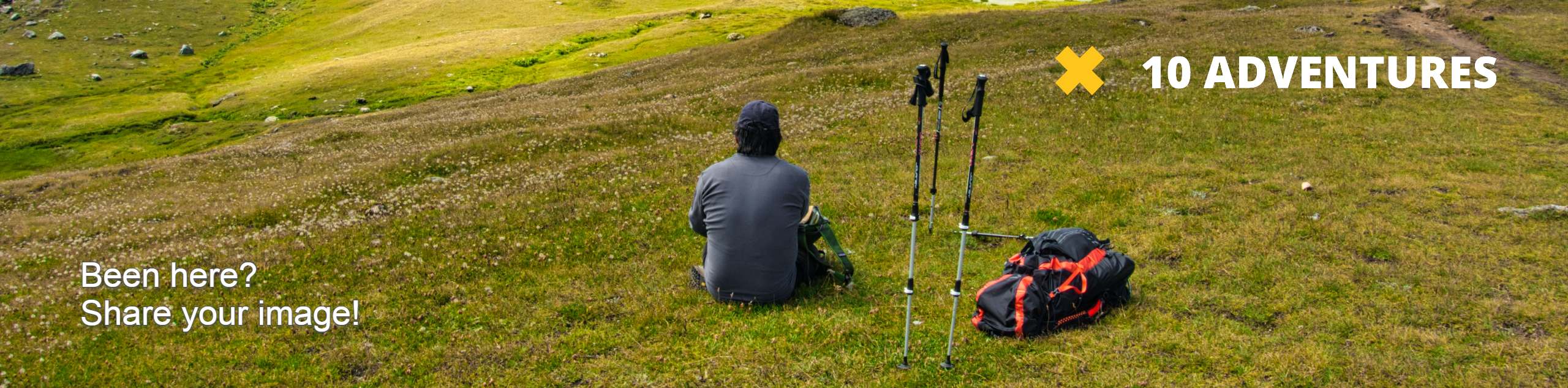
Milagrosa Canyon Trail
View Photos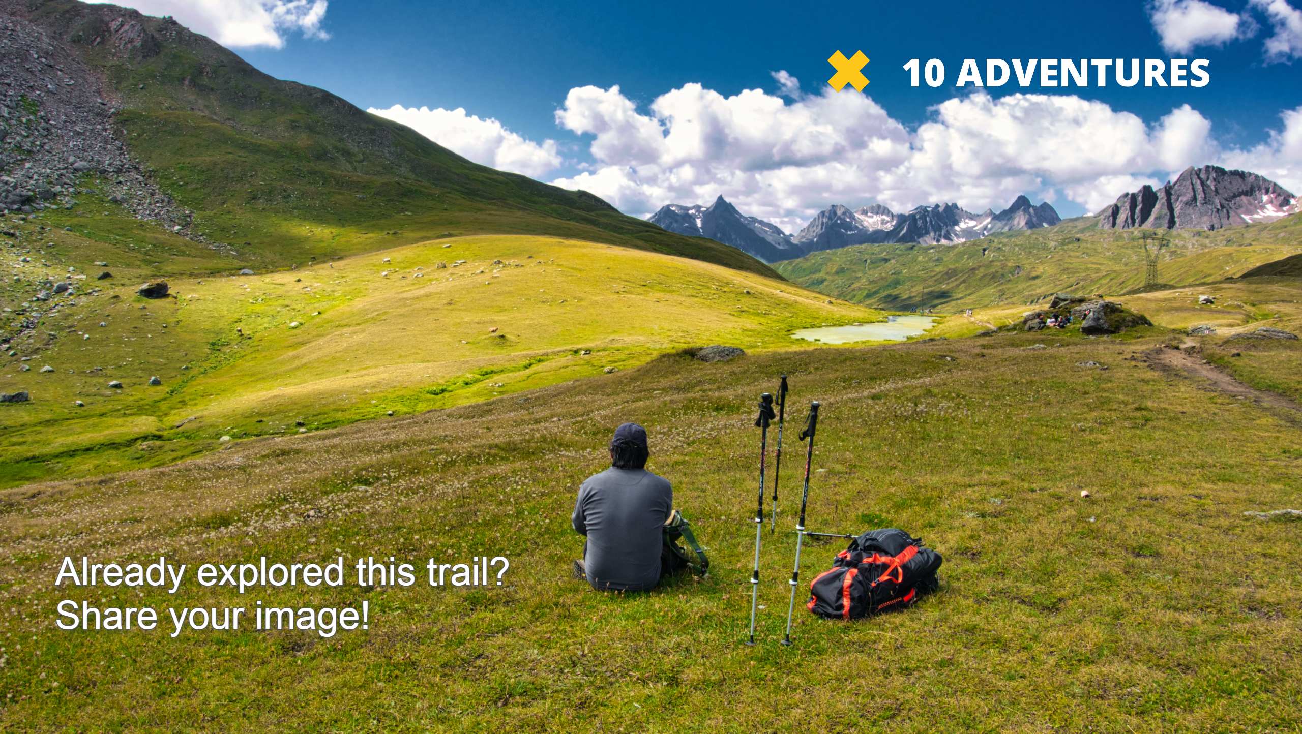
Milagrosa Canyon Trail
Difficulty Rating:
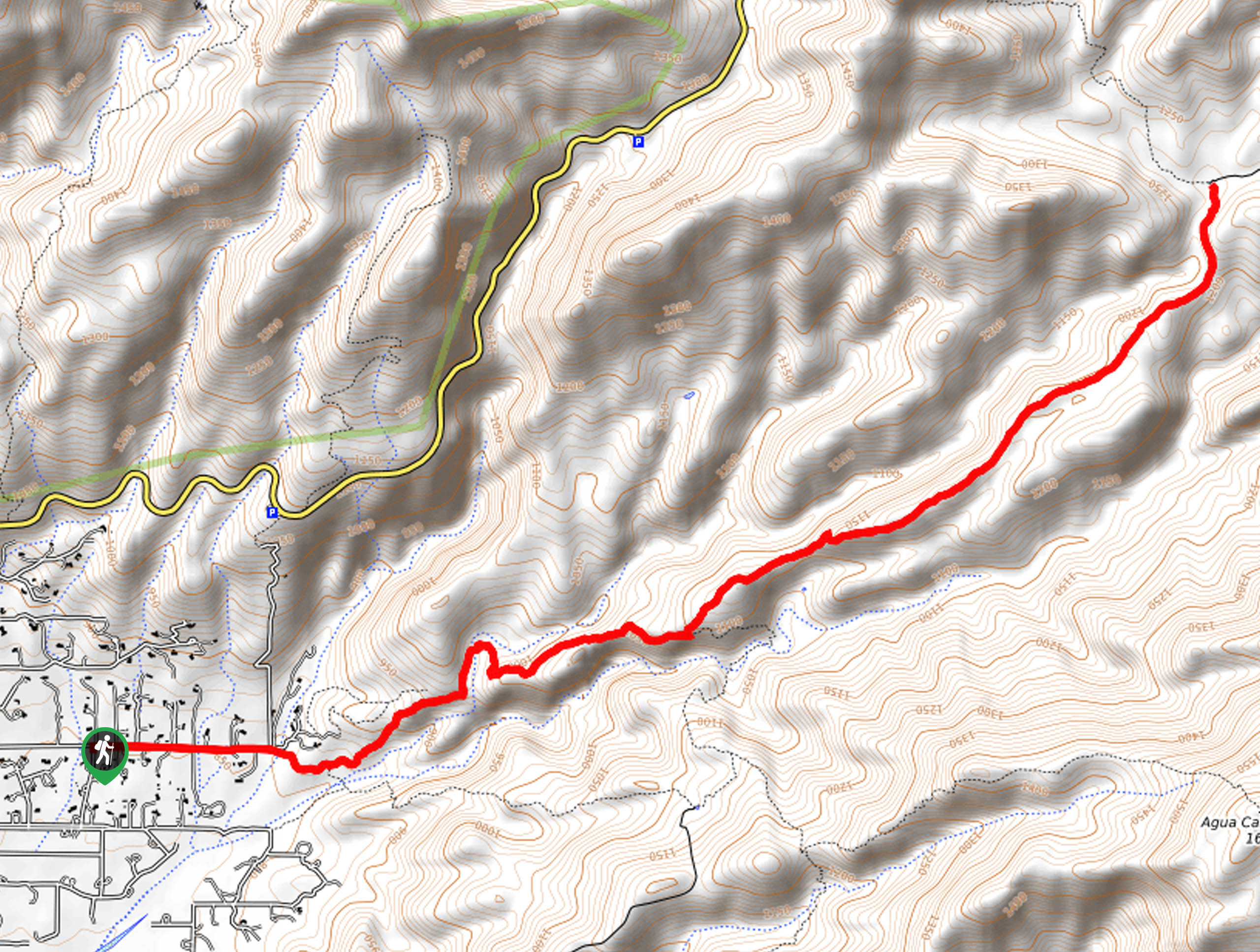
The Milagrosa Canyon Trail in the Pusch Ridge Wilderness is a 10.0mi hike that stretches through a canyon in the south end of the park. This route doesn’t tend to get too busy, but it’s shared by mountain bikers and hikers. While we like this hike, we have to recommend that you do it in the cooler months and early in the morning as it can get very, very hot on the trail. Bring plenty of water.
Getting there
The trailhead for Milagrosa Canyon Trail is on N Avenida de Suzenu.

About
| Backcountry Campground | No |
| When to do | October-May |
| Pets allowed | Yes - On Leash |
| Family friendly | No |
| Route Signage | Average |
| Crowd Levels | Moderate |
| Route Type | Out and back |
Milagrosa Canyon Trail
Elevation Graph
Weather
Milagrosa Canyon Trail Description
For hikers and mountain bikers alike, the Milagrosa Canyon Trail is a fun way to get outside. This route gets steeper and rockier as you go, so you can hike it as far as you like before turning back. It’s normally not too busy (aside from the mixed traffic), and while the views aren’t the biggest in the area, it’s a good way to stretch your legs.
Although all trails near Tucson get hot in the summer, this one gets scorchingly hot. Hike early in the morning before the heat of the day, avoid hiking in the summer, and bring more water than you think you may need. Good boots will be helpful if you want to go all the way to the end of the canyon, which is quite rocky.
From the parking area, you’ll need to walk about an eighth of a mile to a metal gate. Go past the gate and cross the river to where the trail starts. Follow the wash, for a few steps and then climb up the canyon ridge on your left, crossing another smaller canyon to stay on the northern canyon wall. At the junction, stay left. You will continue along this ridge to a T-junction, which is the turnaround point for this hike.
Similar hikes to the Milagrosa Canyon Trail hike

Shantz, Cholla, and Cactus Forest Loop
The Shantz, Cholla, and Cactus Forest Loop is an easy trail in Tucson’s Saguaro National Park East. The star of…

Cactus Forest, Squeeze Pen, and Pink Hill Loop
The Cactus Forest, Squeeze Pen, and Pink Hill Loop is an easy trail in Tucson’s Saguaro National Park East. This…

Hugh Norris, Sendero Esperanza, and Dobbie Wash Loop
The Hugh Norris, Sendero Esperanza, and Dobbie Wash Loop is a bit of a mouthful, but it’s a great hike…
Comments