Sutherland Trail
View Photos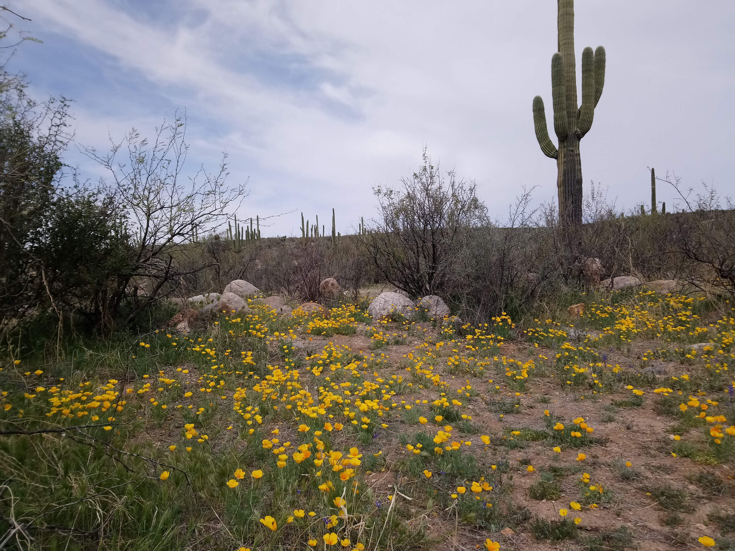
Sutherland Trail
Difficulty Rating:
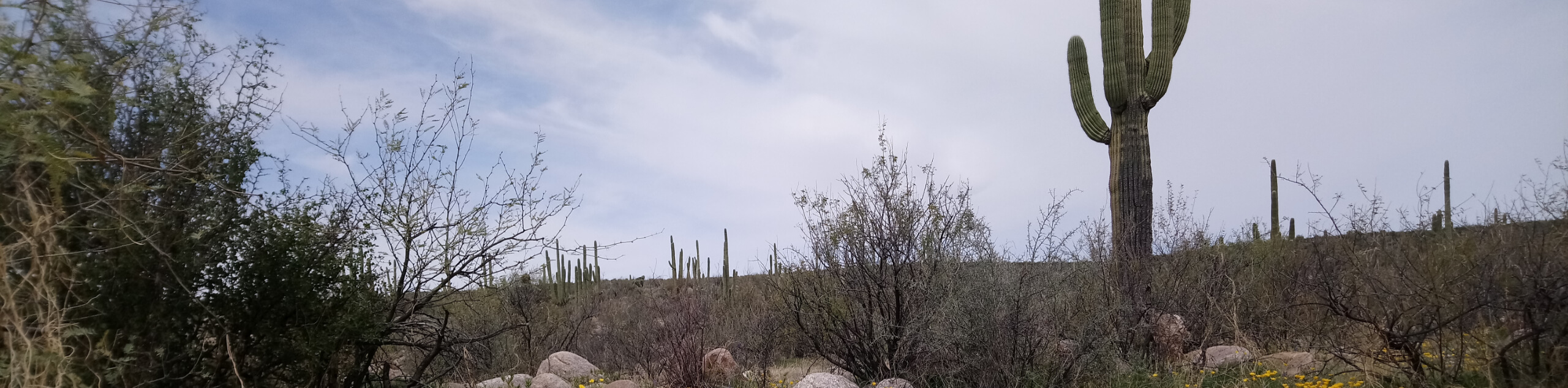
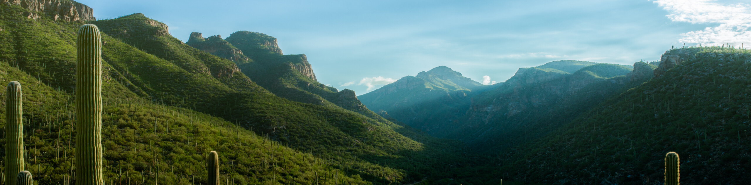
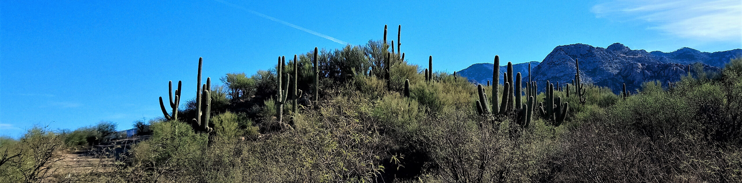
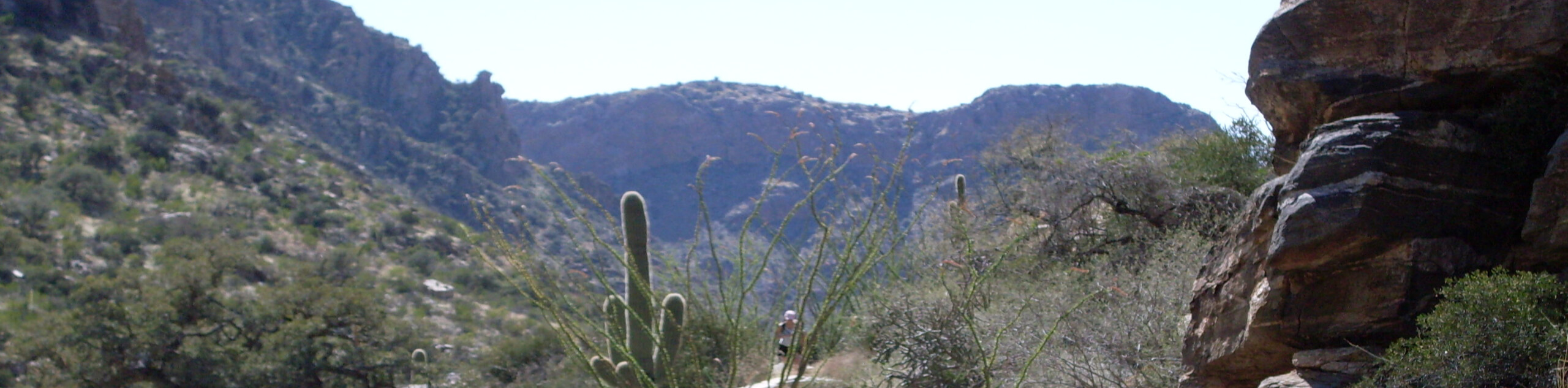
The Sutherland Trail is one of the longer trails in Tucson, so this is a great pick for stronger hikers who want a very full day of adventure. This route begins in Catalina State Park and heads northeast to the base of Mount Lemmon and back over 17.4mi. It’s a hard hike with rocky terrain, but it’s a treat when the ocotillos are in bloom. You can also choose to hike a shorter section of the Sutherland Trail if you’d prefer. Bring plenty of water and food for this one.
Getting there
The trailhead for the Sutherland Trail is on Catalina State Park Road.

About
| Backcountry Campground | No |
| When to do | October-May |
| Pets allowed | No |
| Family friendly | No |
| Route Signage | Average |
| Crowd Levels | High |
| Route Type | Out and back |
Sutherland Trail
Elevation Graph
Weather
Sutherland Trail Description
The Sutherland Trail is an ideal adventure for strong hikers in the Tucson area who want a full day on the trail. This route runs from Catalina State Park to the base of Mount Lemmon, comprising a 17.4mi route with varied terrain and scenery. This area has been recovering from a fire, so each year you’ll get to observe the desert in a different stage of regrowth. We like this route when the ocotillos are blooming.
If the entire length of the Sutherland Trail is too much, you can opt to hike a shorter section. No matter how far you go, come prepared with plenty of water and food and avoid hiking in the heat of the day. There are parts of this route that are shared by ATV users.
From the Sutherland Trailhead, hike northeast to cross the wash three times on your way out of the park. Once you’ve left the park boundaries, stay right twice to follow a creek bed towards the mountains ahead. The route switchbacks up the base of the mountains with a particularly steep climb bringing you atop a ridge. Our route terminates at a T-junction where the Sutherland Trail continues to the right a stretch before ending at the next junction. Turn back and retrace your steps.
Similar hikes to the Sutherland Trail hike
Bear Canyon Trail
Bear Canyon Trail is one of the main routes in Tucson’s Sabino Canyon Recreation Area. The entire trail is almost…
Buster Mountain via Birding Trail
Strong hikers looking for their next big adventure in Tucson can give Buster Mountain via Birding Trail a shot. This…
Mount Kimball via Pima Canyon Trail
Reach the top of Mount Kimball via Pima Canyon using this route guide. This route leads you through a canyon…
Comments