Sutherland Wash Petroglyphs Hike
View Photos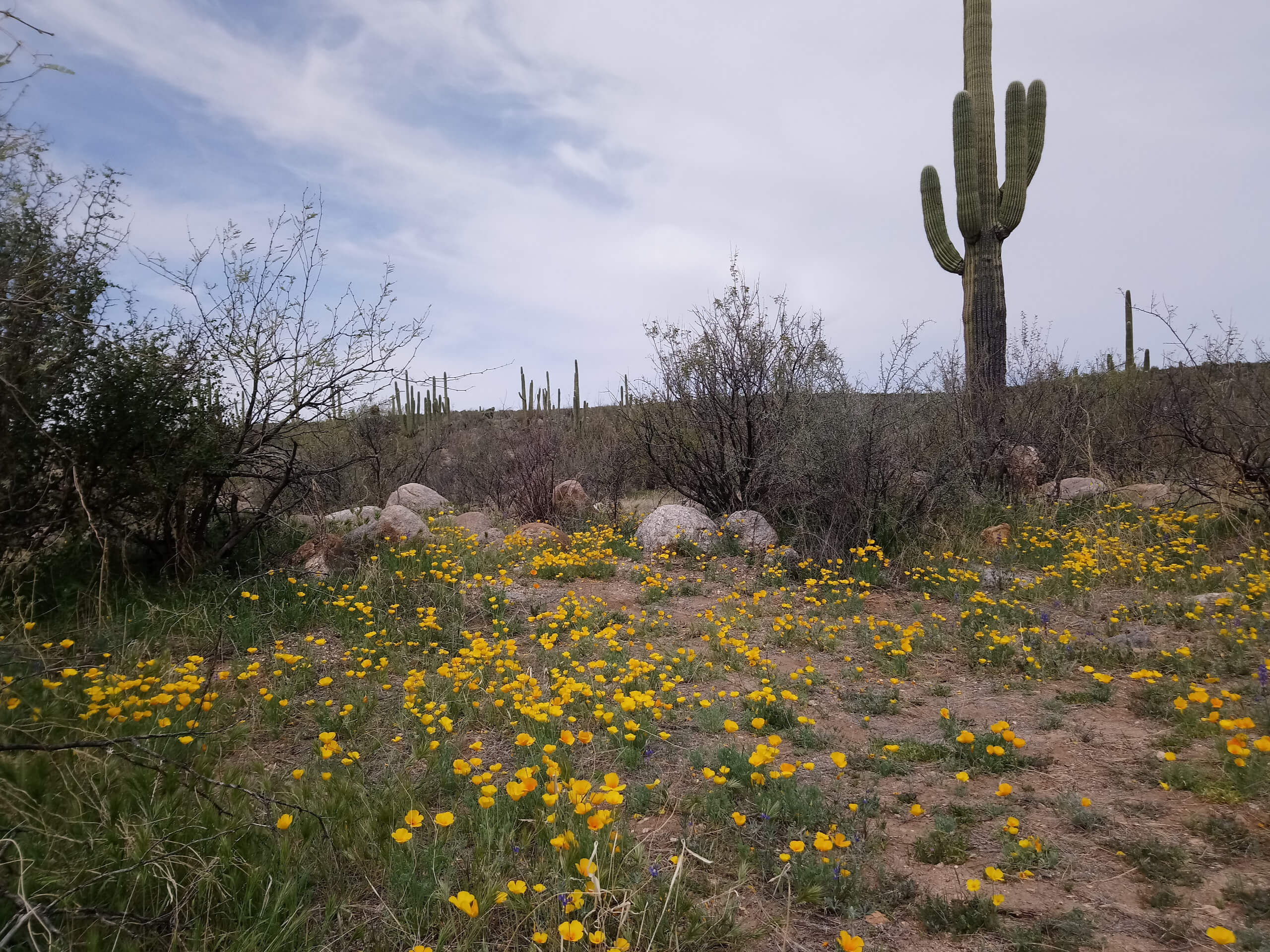
Sutherland Wash Petroglyphs Hike
Difficulty Rating:
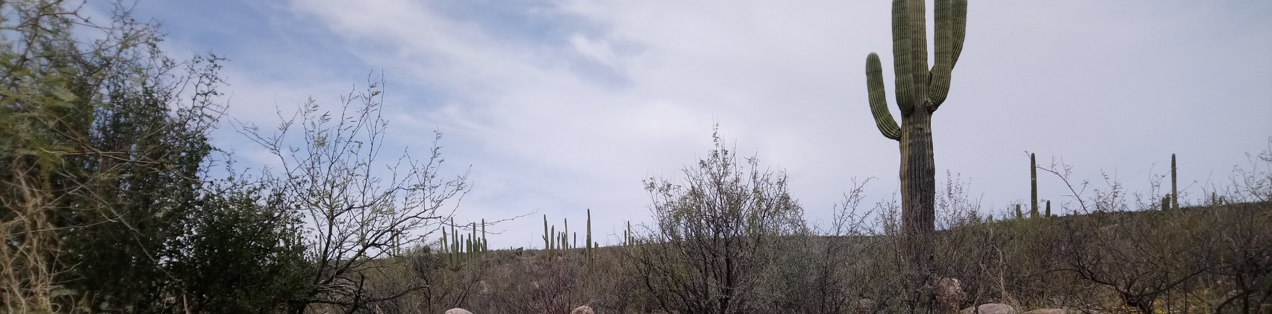
The Sutherland Wash Petroglyphs hike mixes history of days past with present-day natural appeal in Tucson’s popular Catalina State Park. This trail begins just outside of the park and wanders through and then back out of the northeastern corner to a petroglyph site. This trail can get a bit overgrown after heavy monsoon seasons, so if you’re here after a lot of rain, long pants and even a machete may be helpful. Having a downloaded route is helpful to locate the petroglyphs at the end of the trail.
Getting there
The trailhead for the Sutherland Wash Petroglyphs hike is south of the southern terminus of Golder Ranch Road. It’s hike-in only.

About
| Backcountry Campground | No |
| When to do | October-May |
| Pets allowed | Yes - On Leash |
| Family friendly | Yes |
| Route Signage | Poor |
| Crowd Levels | Moderate |
| Route Type | Out and back |
Sutherland Wash Petroglyphs Hike
Elevation Graph
Weather
Sutherland Wash Petroglyphs Hike Description
The Sutherland Wash Petroglyphs hike is one of our favorite ways to see petroglyphs in the Tucson area thanks to its ease of access from the city. This route begins just outside of the northeastern corner of the park, passes through the park, and finds the petroglyphs outside of the park. It’s a moderately difficult hike that should be suitable for adventurous families and beginners.
This route does sometimes suffer from overgrowth after a heavy monsoon. At its very worst, you’ll need a machete and long pants to get through, so we recommend visiting when it’s been dry for a while if possible. As with all hikes in Tucson, bring plenty of water and wear sun protection for your adventures.
The trailhead is south of the end of Golder Ranch Road so you’ll need to walk just a bit to reach it. From the trailhead, cross the wash and keep left to follow the base of the hill to your right. The trail turns left, then right, and then the petroglyphs can be found a short distance up the hillside. Having a downloaded GPS track can be helpful. When you’re ready, retrace your steps.
Similar hikes to the Sutherland Wash Petroglyphs Hike hike

Shantz, Cholla, and Cactus Forest Loop
The Shantz, Cholla, and Cactus Forest Loop is an easy trail in Tucson’s Saguaro National Park East. The star of…

Cactus Forest, Squeeze Pen, and Pink Hill Loop
The Cactus Forest, Squeeze Pen, and Pink Hill Loop is an easy trail in Tucson’s Saguaro National Park East. This…

Hugh Norris, Sendero Esperanza, and Dobbie Wash Loop
The Hugh Norris, Sendero Esperanza, and Dobbie Wash Loop is a bit of a mouthful, but it’s a great hike…
Comments