Romero Ruins Hike
View Photos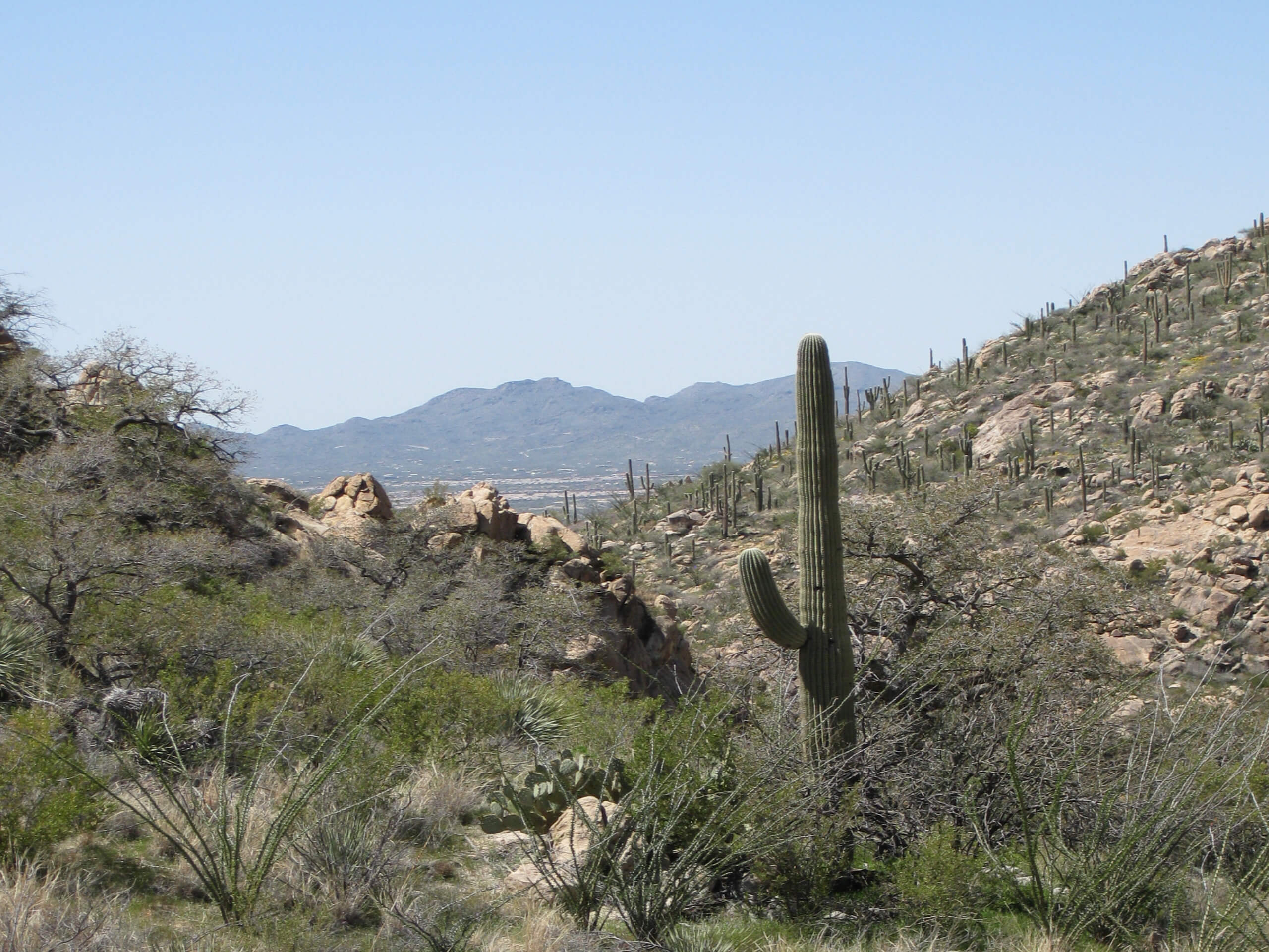
Romero Ruins Hike
Difficulty Rating:
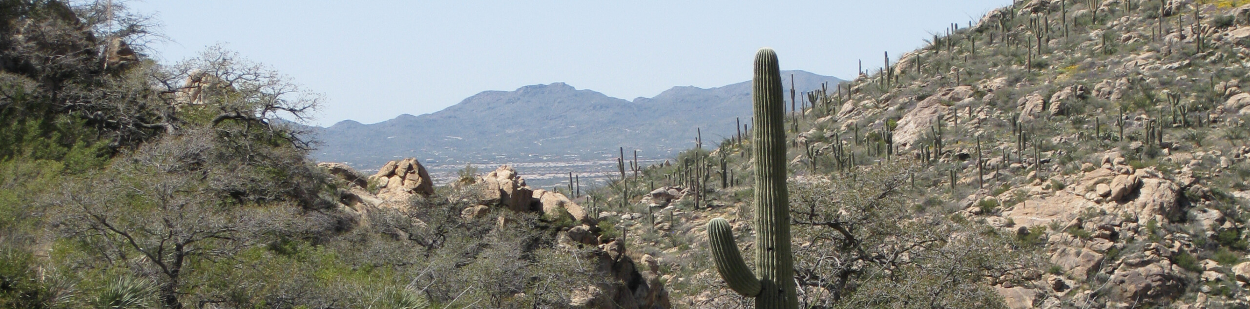
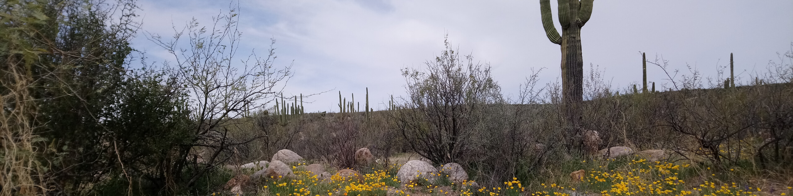
The Romero Ruins are the remnants of a prehistoric walled city, and you can check them out on a very short trail in Tucson’s Catalina State Park. There are informative signs near the ruins that educate you about their history, and the trail to the ruins boasts impressively large saguaros. All in all, this is a fascinating hike that’s easy enough for all ages and skill levels.
Getting there
The trailhead for Romero Ruins Hike is on Catalina State Park Road.

About
| Backcountry Campground | No |
| When to do | October-May |
| Pets allowed | Yes - On Leash |
| Family friendly | Yes |
| Route Signage | Good |
| Crowd Levels | Low |
| Route Type | Loop |
Romero Ruins Hike
Elevation Graph
Weather
Romero Ruins Hike Description
Tucson is dotted with ruins and artifacts from days long past, and the Romero Ruins are remnants from a prehistoric walled city. Check out the ruins and read about their past on this quick, easy jaunt in Catalina State Park. This route is easy enough for all ages and skill levels and since it’s so short, it’s easy to tack onto a day in the park in addition to other hikes or a picnic.
Dogs are allowed on the trails in the park as long as they’re on a leash. Although this hike is short, bring water with you as there isn’t any shade.
From the trailhead, cross the wash and stay left immediately. Take some time to admire the tall saguaros on the path with their many arms, as well as the mountains in the distance. Once you reach the ruins, you can read the informative signage to learn about the area’s history. The ruins are mostly a low stone wall now. When you’re ready, continue around the loop and then cross the wash back to the trailhead.
Similar hikes to the Romero Ruins Hike hike

Shantz, Cholla, and Cactus Forest Loop
The Shantz, Cholla, and Cactus Forest Loop is an easy trail in Tucson’s Saguaro National Park East. The star of…

Cactus Forest, Squeeze Pen, and Pink Hill Loop
The Cactus Forest, Squeeze Pen, and Pink Hill Loop is an easy trail in Tucson’s Saguaro National Park East. This…
Dripping Spring via Sutherland Trail
Starting off in Tucson’s lovely Catalina State Park, the hike to Dripping Springs on Sutherland Trail is a charming easy…
Comments