
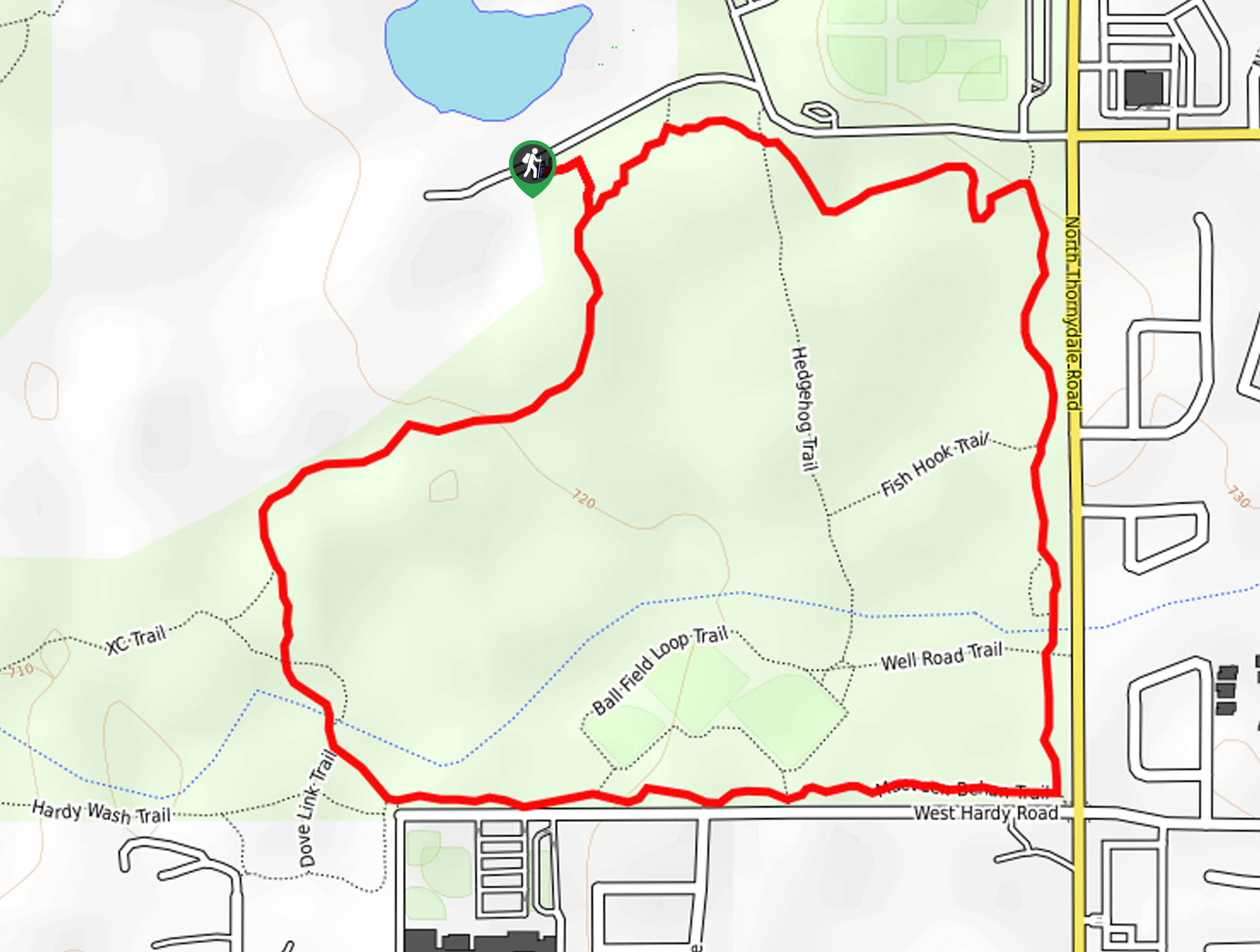
Maeveen Behan Trail
View Photos
Maeveen Behan Trail
Difficulty Rating:
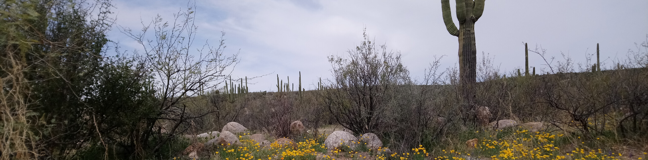
If you’re in the northern reaches of Tucson, Maeveen Behan Trail is a great pick for an easygoing nature walk. The trail is on the Crooked Tree Golf Course grounds, and it’s a pleasant area to take the dogs for a stroll or to get out with family. The loop is flat and there are some offshoots that would allow you to lengthen or shorten it if desired. This trail doesn’t tend to be too busy.
Getting there
The trailhead for Maeveen Behan Trail is on the golf course access road.

About
| Backcountry Campground | No |
| When to do | October-May |
| Pets allowed | Yes - On Leash |
| Family friendly | Yes |
| Route Signage | Average |
| Crowd Levels | Moderate |
| Route Type | Loop |
Maeveen Behan Trail
Elevation Graph
Weather
Maeveen Behan Trail Description
The Maeveen Behan Trail loops through the Crooked Tree Golf Course in northern Tucson. It’s a great go-to walking trail for locals who live nearby. With nice golf course scenery and the ability to customize your route using the offshoot pathways. With kids, dogs, or just by yourself, it’s a lovely way to get some steps in without leaving the city. You will need to put up with a bit of road noise, but we’d give it a go nonetheless.
The trails aren’t all marked, so having a downloaded route could be helpful. We don’t recommend this route for families with strollers because the footing is sandy at parts.
From the trailhead, go left onto Maeveen Behan Trail, going straight through the junction with Hedgehog Trail. Near Thornydale Road, you’ll turn right to walk alongside the road until you hit W Hardy. Turn right to walk parallel to this road past the middle school, then take a right to finish out the loop by heading back to the trailhead.
Similar hikes to the Maeveen Behan Trail hike

Shantz, Cholla, and Cactus Forest Loop
The Shantz, Cholla, and Cactus Forest Loop is an easy trail in Tucson’s Saguaro National Park East. The star of…

Cactus Forest, Squeeze Pen, and Pink Hill Loop
The Cactus Forest, Squeeze Pen, and Pink Hill Loop is an easy trail in Tucson’s Saguaro National Park East. This…
Dripping Spring via Sutherland Trail
Starting off in Tucson’s lovely Catalina State Park, the hike to Dripping Springs on Sutherland Trail is a charming easy…
Comments