Agua Caliente Loop
View Photos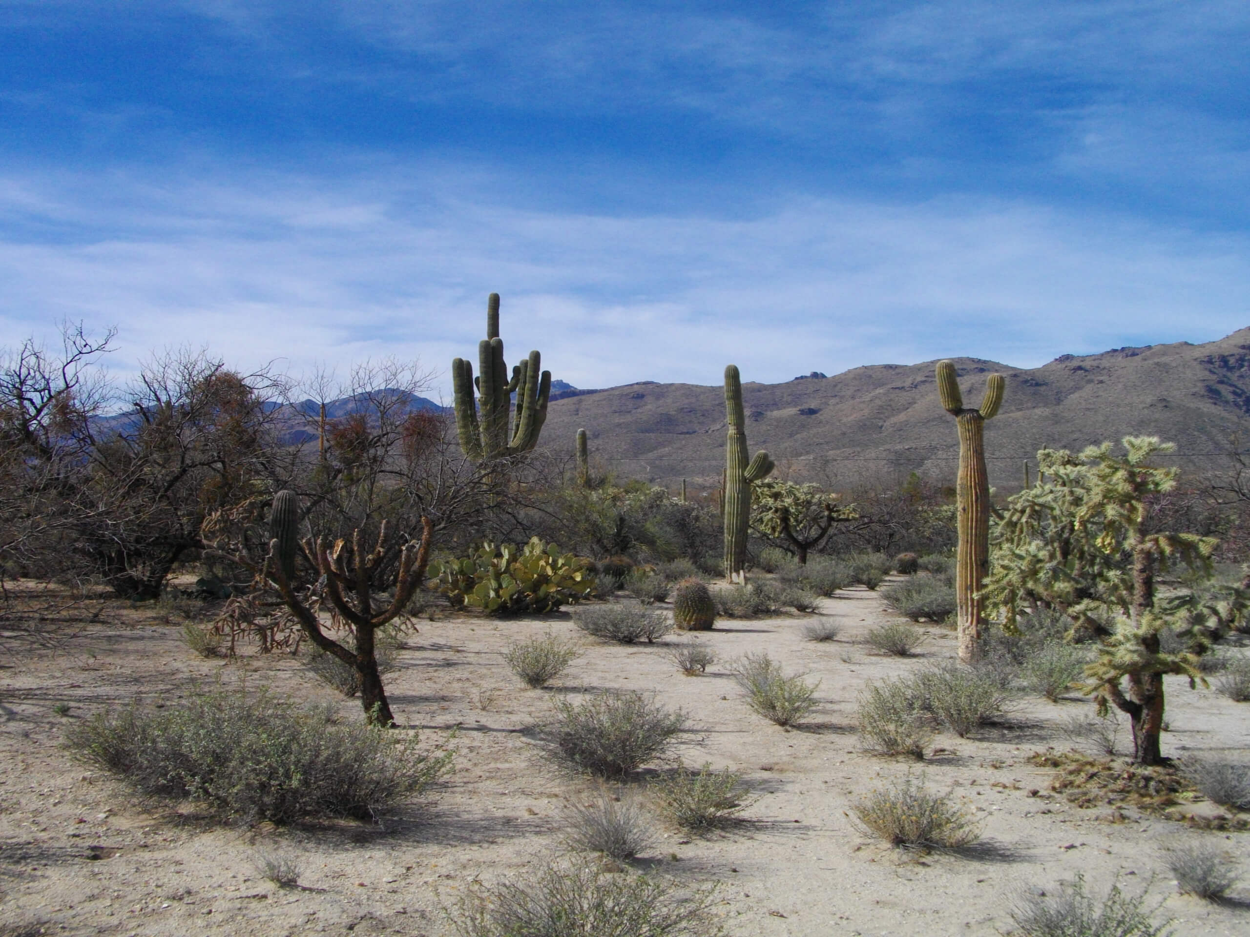
Agua Caliente Loop
Difficulty Rating:
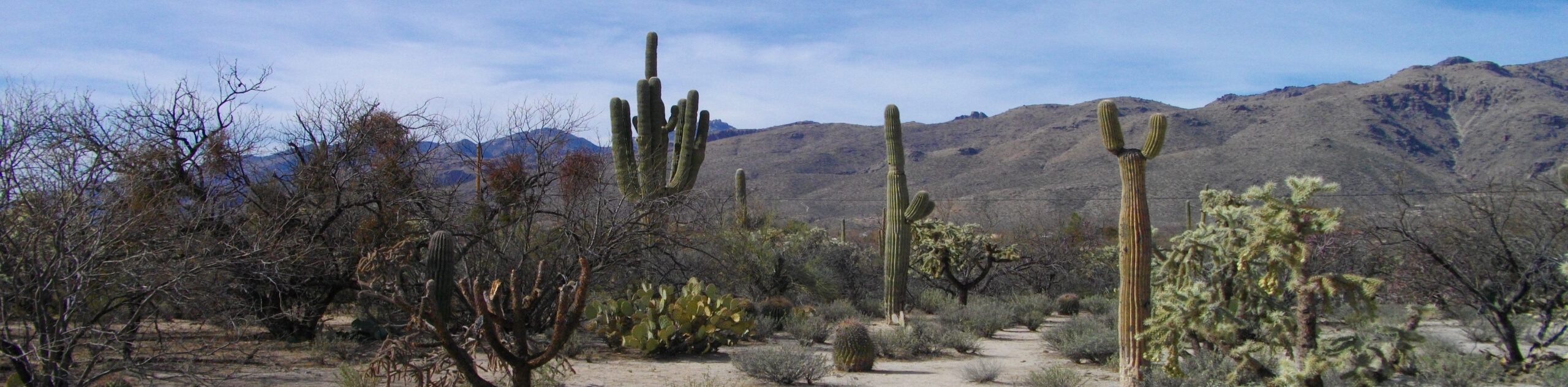
The Agua Caliente Loop is an awesome hike in the Tucson area with canyon views and a sense of rugged adventure to be found. This route is nestled between the Pusch Ridge Wilderness and Saguaro National Park East, so the scenery pulls together the best of both areas. Note that this is different from the Agua Caliente Hill Trail, which is in the same area but longer and more challenging. Expect 6.0mi of moderately difficult hiking on this loop.
Getting there
The trailhead for Agua Caliente Loop is on N Avenida de Suzenu.

About
| Backcountry Campground | No |
| When to do | October-May |
| Pets allowed | Yes - On Leash |
| Family friendly | Older Children only |
| Route Signage | Average |
| Crowd Levels | High |
| Route Type | Loop |
Agua Caliente Loop
Elevation Graph
Weather
Agua Caliente Loop Description
The Agua Caliente Loop is a 6.0mi hike located south of the Pusch Ridge Wilderness and north of Saguaro National Park East. This route offers excellent Sonoran Desert scenery with a great canyon overlook. Our route guide follows this loop clockwise, which is the way the trail is “supposed” to go. Keep in mind that you can do this loop counter-clockwise for an easier trip. It’s definitely more strenuous clockwise, so don’t be afraid to go the other way if you’re not keen on a more difficult hike.
Although this route is dog-friendly, users report injuries to their dog’s paws due to the sharp, rocky terrain on the trail. Please consider boots for your dogs or consider leaving them at home. Good boots are also recommended for yourself.
From the trailhead, hike east on E Horseshoe Road to La Milagrosa Trail. You’ll cross three washes early on, which may have water in them depending on the time of year and recent weather. Where the trail forks, make your decision on which way to go. Clockwise, you’ll stay to the left on La Milagrosa and ascend the wall of the canyon to a pretty overlook into the canyon below. Cross another wash and keep tracing the canyon wall. At the top of the loop, you’ll turn southwest, crossing another wash and then hiking back towards the trailhead with a view of the city.
Similar hikes to the Agua Caliente Loop hike

Shantz, Cholla, and Cactus Forest Loop
The Shantz, Cholla, and Cactus Forest Loop is an easy trail in Tucson’s Saguaro National Park East. The star of…

Cactus Forest, Squeeze Pen, and Pink Hill Loop
The Cactus Forest, Squeeze Pen, and Pink Hill Loop is an easy trail in Tucson’s Saguaro National Park East. This…

Hugh Norris, Sendero Esperanza, and Dobbie Wash Loop
The Hugh Norris, Sendero Esperanza, and Dobbie Wash Loop is a bit of a mouthful, but it’s a great hike…
Comments