Thunderbird Trail
View Photos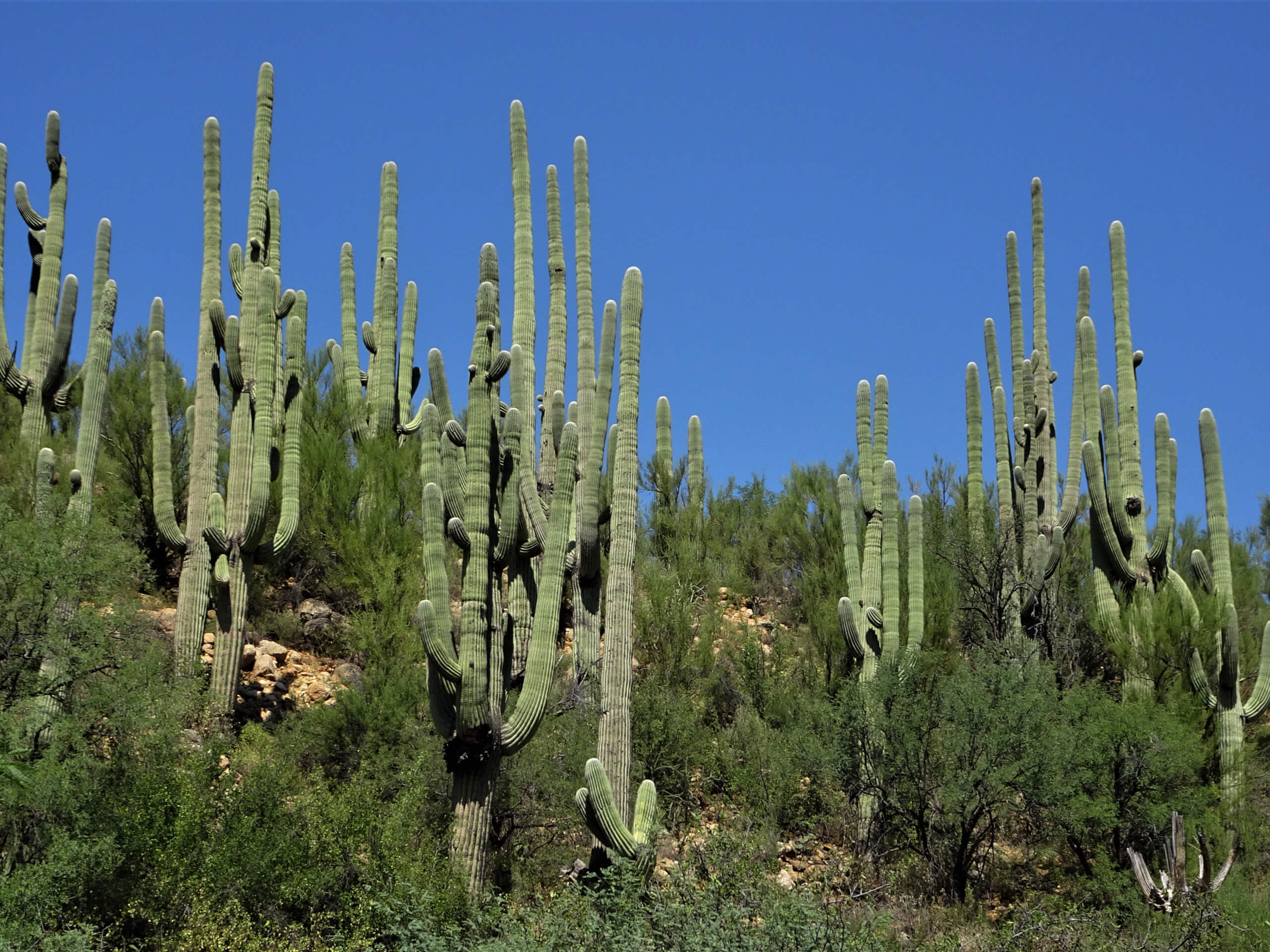
Thunderbird Trail
Difficulty Rating:
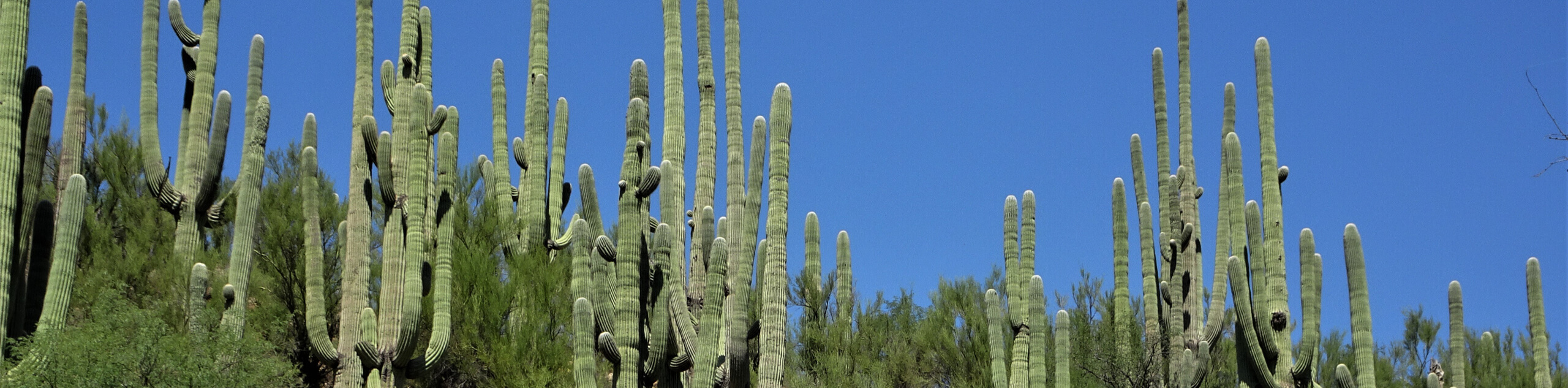
The Thunderbird Trail explores the eastern side of Saguaro National Park West, one of Tucson’s most popular hiking regions. This trail is moderately difficult with some loose rock to navigate, so it makes for a fun hike for strong beginners and active families. There are washes along the way that may or may not give you the chance to dip your feet depending on recent rains, but no matter the season, you’ll be able to appreciate big saguaros and desert wildlife.
Getting there
The trailhead for Thunderbird Trail is on W El Camino del Cerro.

About
| Backcountry Campground | No |
| When to do | October-May |
| Pets allowed | No |
| Family friendly | Yes |
| Route Signage | Average |
| Crowd Levels | Moderate |
| Route Type | Out and back |
Thunderbird Trail
Elevation Graph
Weather
Thunderbird Trail Description
The Thunderbird trail travels through Saguaro National Park West, one of the most popular hiking regions in the Tucson area. This is also one of the best hiking areas for beginners thanks to its generally low-elevation trails. This hike is a good one for adventurous beginners who don’t mind taking on a bit of loose scree. Having a downloaded GPS track will be helpful on certain parts of this route.
Note that users report multiple rattlesnake sightings on this trail. Keep your ears open and stay on the trail. The washes on the route may have water flowing in certain parts of the year, but you should be fine without wading shoes unless it’s been very wet recently.
From the trailhead, you’ll descend down into a flatter area through scree. Remember that this route ends with a climb, so save some water and energy for the trip home. At the 4-way junction, stay to the left, then stay right at the next junction. Enjoy the cactus and the low peaks around you. The trail ends at a Y-junction where you’ll turn back and retrace your steps to the trailhead.
Similar hikes to the Thunderbird Trail hike

Shantz, Cholla, and Cactus Forest Loop
The Shantz, Cholla, and Cactus Forest Loop is an easy trail in Tucson’s Saguaro National Park East. The star of…

Cactus Forest, Squeeze Pen, and Pink Hill Loop
The Cactus Forest, Squeeze Pen, and Pink Hill Loop is an easy trail in Tucson’s Saguaro National Park East. This…

Hugh Norris, Sendero Esperanza, and Dobbie Wash Loop
The Hugh Norris, Sendero Esperanza, and Dobbie Wash Loop is a bit of a mouthful, but it’s a great hike…
Comments