
Camaro Loop
View Photos
Camaro Loop
Difficulty Rating:
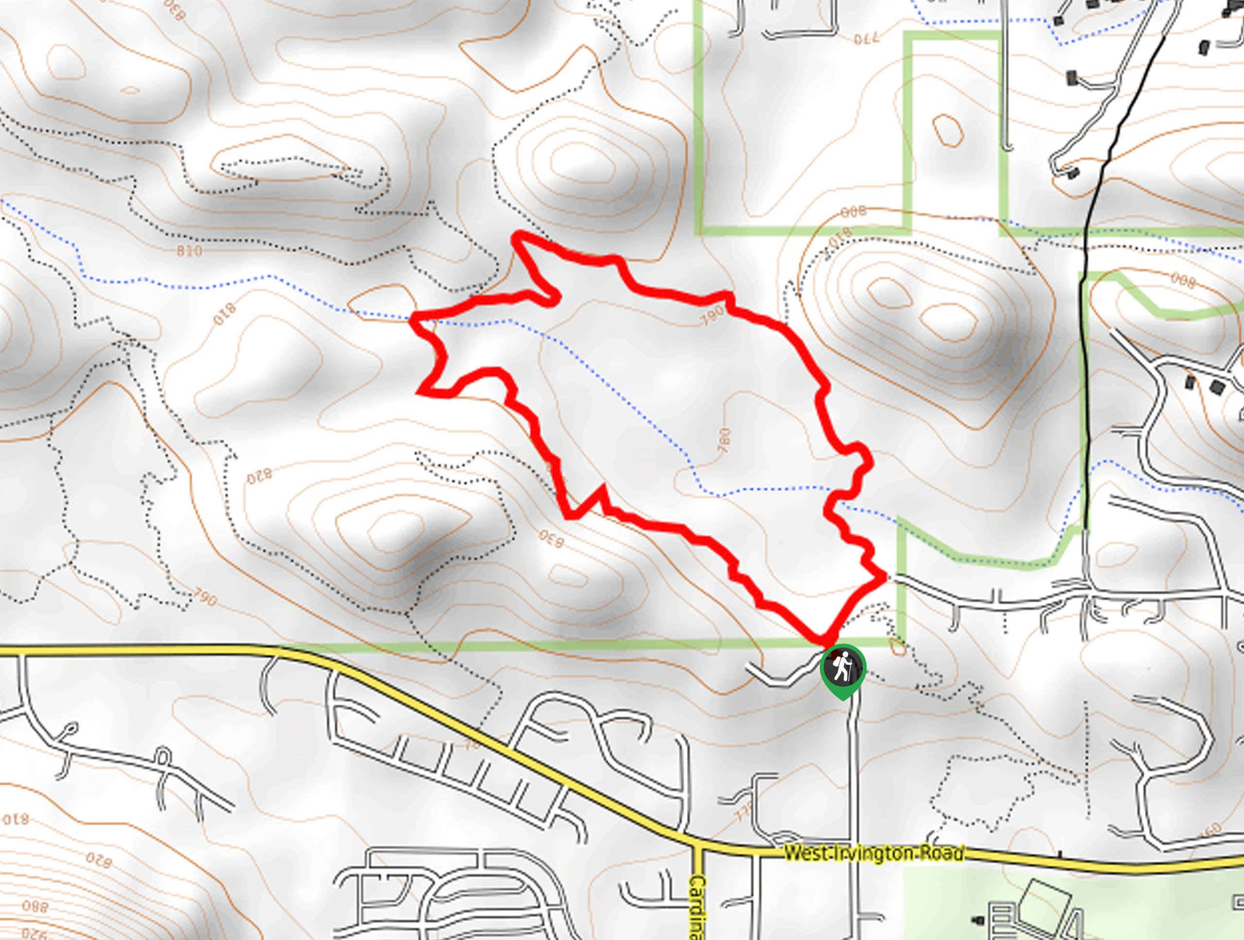
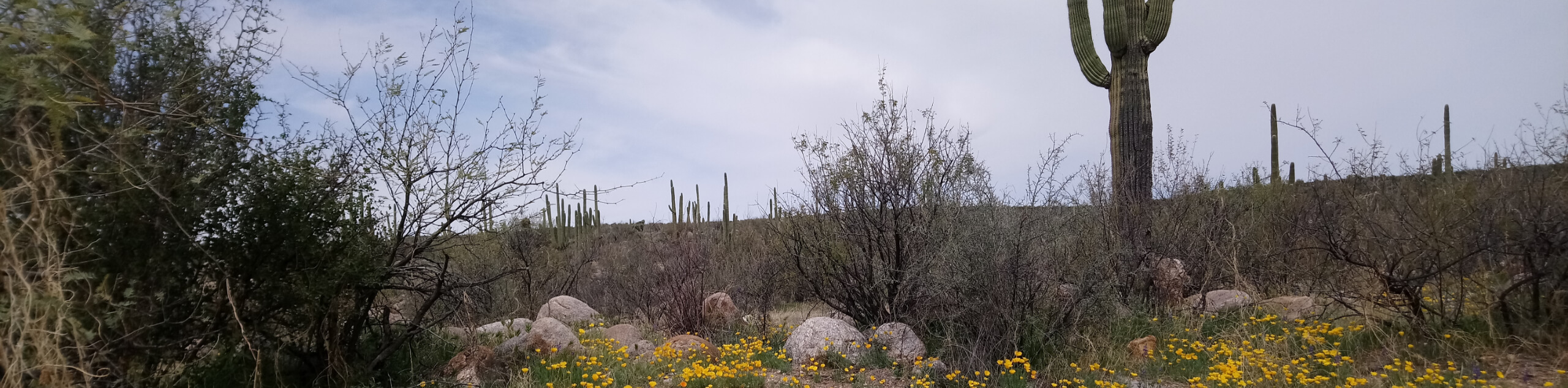
The Camaro Loop is an easy hiking and mountain biking route in the south end of Tucson Mountain Park. This trail is less than two and a half miles long and has almost no elevation gain required. It’s a great pick for a casual nature walk, and we love all the cactus lining the trail. Dogs are allowed to join you on this hike as long as they’re on a leash. Expect moderate traffic.
Getting there
The trailhead for the Camaro Loop is on S Cactus Wren Ave.

About
| Backcountry Campground | No |
| When to do | October-May |
| Pets allowed | Yes - On Leash |
| Family friendly | Yes |
| Route Signage | Average |
| Crowd Levels | Moderate |
| Route Type | Loop |
Camaro Loop
Elevation Graph
Weather
Camaro Loop Description
The Camaro Loop is a wonderful easy trail for hikers and mountain bikers. It’s mostly flat with lots of interesting cacti to admire on the side of the trail. We like it for an evening nature walk with family since it’s so beginner-friendly. Dogs are also allowed to join you on this trail if they’re kept on leash, but just watch their paws as there tends to be broken cactus bits on the side of the trail.
Although the trailhead for this hike is on S Cactus Wren Ave, there’s better parking on W Irvington Place, so we’d suggest using that approach. Cactus Wren is also a bit rough, so those taking small cars might have trouble with it.
From the trailhead, go right onto Camaro Loop Trail. You’ll soon pass the Irvington entrance and cross a wash. At all junctions on the loop, simply stay to the inside (left if you’re going counterclockwise as this guide suggests). Enjoy the low peaks around you and the desert plants beside the trail. You’ll want to keep an eye out for mountain bikers and share the trail if you encounter them. The loop will return you directly to the trailhead.
Similar hikes to the Camaro Loop hike

Shantz, Cholla, and Cactus Forest Loop
The Shantz, Cholla, and Cactus Forest Loop is an easy trail in Tucson’s Saguaro National Park East. The star of…

Cactus Forest, Squeeze Pen, and Pink Hill Loop
The Cactus Forest, Squeeze Pen, and Pink Hill Loop is an easy trail in Tucson’s Saguaro National Park East. This…
Dripping Spring via Sutherland Trail
Starting off in Tucson’s lovely Catalina State Park, the hike to Dripping Springs on Sutherland Trail is a charming easy…
Comments