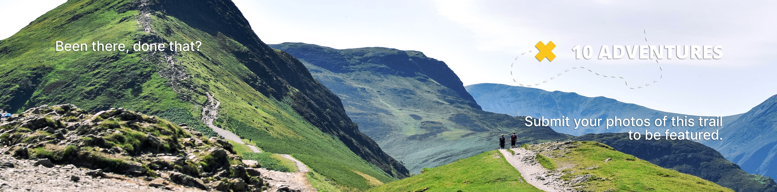
Bobcat Ridge and Starr Pass Hike
View Photos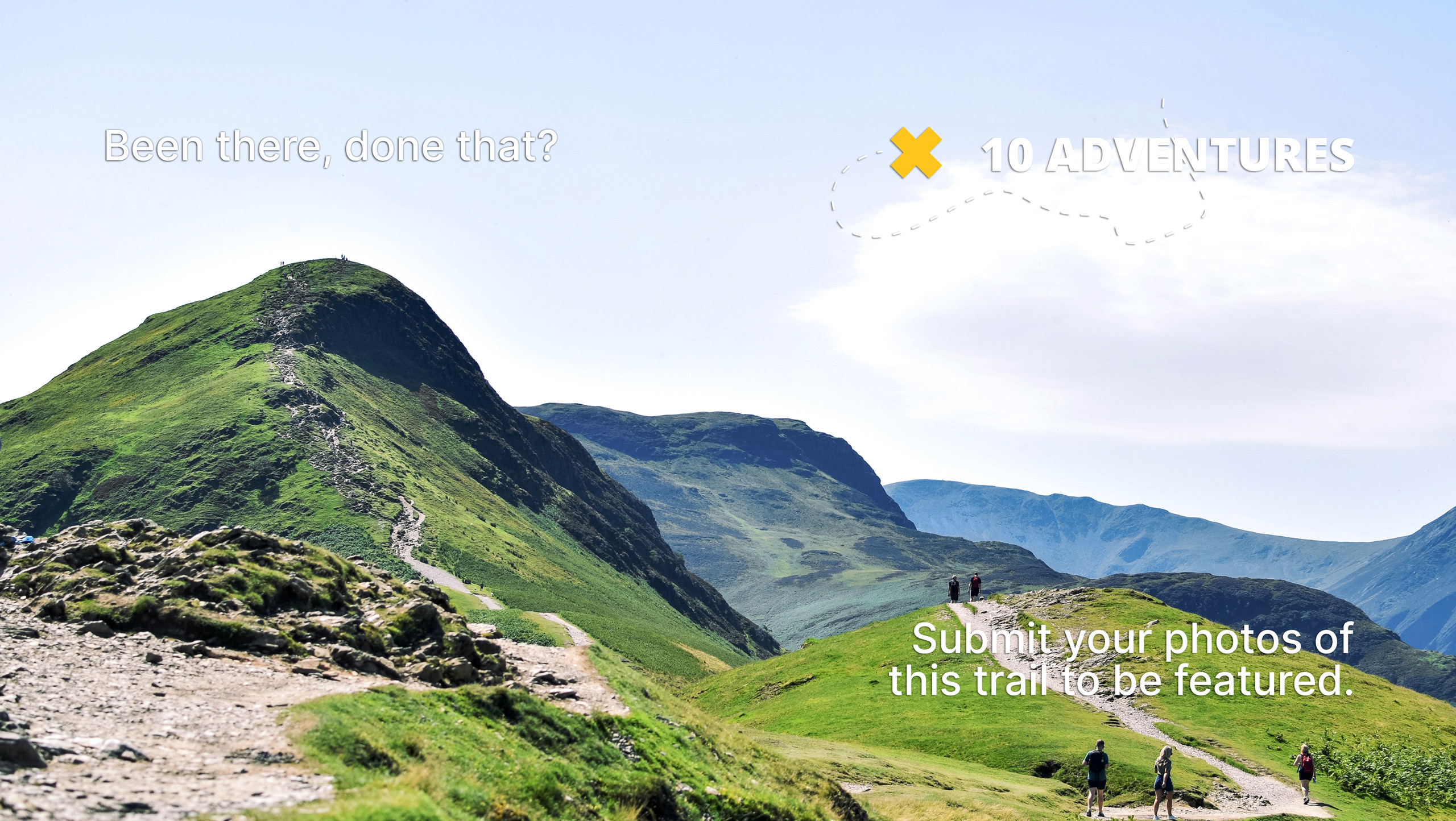
Bobcat Ridge and Starr Pass Hike
Difficulty Rating:
Bobcat Ridge and Starr Pass is a great scenic hike near Tucson. This route is 4.1mi long and has some fun rocky sections and steep ledges with wide-open views. It might not be the best choice for those who are afraid of heights, but you’ve got enough room to maneuver that most should still feel comfortable on this route. You’ll look out at the tall saguaros, the mountains on the horizon, and Tucson beside you. This hike doesn’t get too busy, so it’s a good bet any time of the week.
Bring lots of water for this hike as there’s no shade. We also like to pack a picnic and take a seat near (not at the end of) the ledge to have lunch with a view.
Getting there
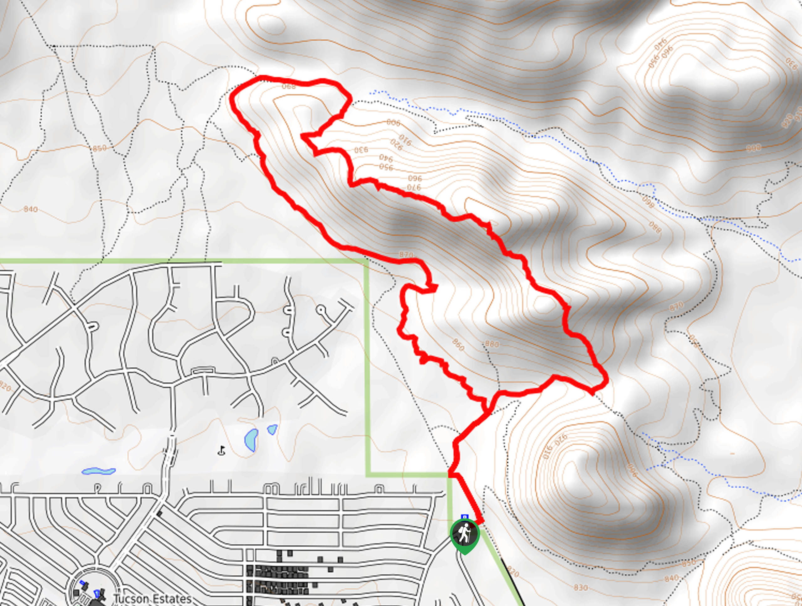
The trailhead for the Bobcat Ridge and Starr Pass is at the end of S Sarasota Blvd.

About
| Backcountry Campground | No |
| When to do | October-May |
| Pets allowed | No |
| Family friendly | Older Children only |
| Route Signage | Average |
| Crowd Levels | Moderate |
| Route Type | Loop |
Bobcat Ridge and Starr Pass Hike
Elevation Graph
Weather
Bobcat Ridge and Starr Pass Hike Description
Bobcat Ridge and Starr Pass are two impressive routes combined into one spectacular hike in this guide. In a trail-dense area close to Tucson, this hike gets you out of the city without requiring you to go very far. The views are excellent, mostly featuring the saguaro-dotted rocky hills nearby, the mountains in the distance, and the city reaching out beside you.
This route is a great middle distance and difficulty. It gets the legs warm without being too demanding and at 4.1mi, it’s within the realm of possibility for strong beginners and better. We don’t recommend this hike for those with a strong fear of heights since the ledges are quite sheer, but there’s lots of room to stay away from the edge.
For those who like the up-high feel, this hike makes for a perfect picnic spot, especially if you score a less busy trail.
You’ll want to come prepared for some steady climbing without any shade. Bring more water than you think you’ll need and bring a hat and sunscreen if the sun’s out.
From the trailhead, take the Starr Pass Cutoff to the right to the next junction, which is where the trail splits. Take the middle route that heads to the right to the saddle between the ridge and the hill next to it.
Stay left to begin ascending the ridge. The scenery is delightful, with cholla, saguaros, and ocotillo flanking your path. You might even be treated to a lizard sighting or two as you climb.
The ascent is consistent and rocky, but it levels out a bit as you crest the ridge. The best views await up here, so take your time as you navigate across this rocky spine. You can see Tucson Estates, Kitt Peak, and the Golden Gate quite well.
Take a break atop the ridge if you have the time, then continue along to begin your return trip. You’ll gradually descend the ridge to a junction. Stay left here, then stay left to wind around the northwestern base of the ridge.
Hiking back towards the trailhead, you’ll now pass underneath Bobcat Ridge. Continue to the junction
Note: You can also do the loop the opposite way (clockwise) should you want to get the flatter section finished before the climbing. We like to tackle the climbing with fresher legs and leave the flat stretch for the return trip.
Hiking Route Highlights
Saguaro National Park West
The two sides of Saguaro National Forest–East and West–encompass two patches of beautiful desert scenery on the eastern and western sides of the city of Tucson. The parks may be small, but they don’t lack when it comes to scenery. Saguaro National Park West is lower in elevation with a denser saguaro forest, and Saguaro National Park East is more mountainous and offers the opportunity to backpack if desired. Bobcat Ridge shows off the west park in its cactus-covered glory.
Frequently Asked Questions
Which Saguaro National Park should I visit?
Both the east and west park are worth visiting, but plan your visit based on the kind of exploring you want to do. The east park is better for hikes with more elevation gain and it allows backpacking. The west park is more saguaro-filled, lower elevation, and does not allow overnight stays.
Are dogs allowed on Bobcat Ridge and Starr Pass Hike?
No, dogs are not allowed on this trail.
Do I have to pay to hike Bobcat Ridge and Starr Pass Hike?
No, there is no fee required for this hike.
Insider Hints
Counterclockwise tends to be our user’s preferred way to hike this loop.
Similar hikes to the Bobcat Ridge and Starr Pass Hike hike

Shantz, Cholla, and Cactus Forest Loop
The Shantz, Cholla, and Cactus Forest Loop is an easy trail in Tucson’s Saguaro National Park East. The star of…

Cactus Forest, Squeeze Pen, and Pink Hill Loop
The Cactus Forest, Squeeze Pen, and Pink Hill Loop is an easy trail in Tucson’s Saguaro National Park East. This…

Hugh Norris, Sendero Esperanza, and Dobbie Wash Loop
The Hugh Norris, Sendero Esperanza, and Dobbie Wash Loop is a bit of a mouthful, but it’s a great hike…
Comments