Douglas Spring Trail
View Photos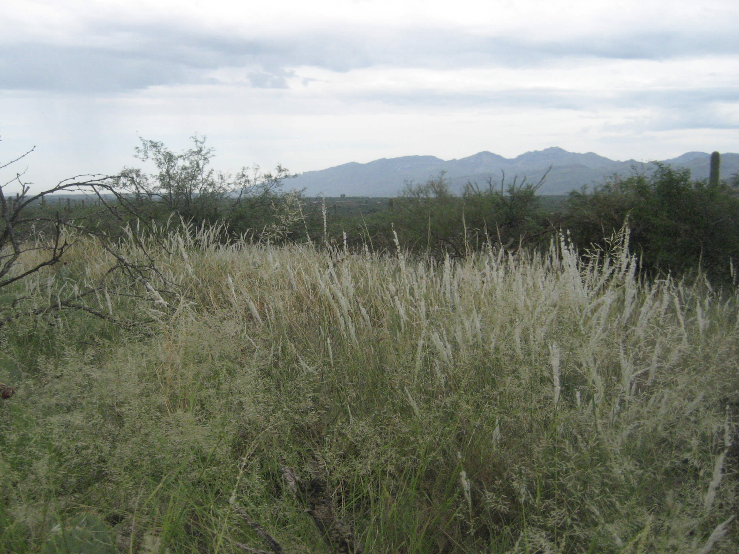
Douglas Spring Trail
Difficulty Rating:
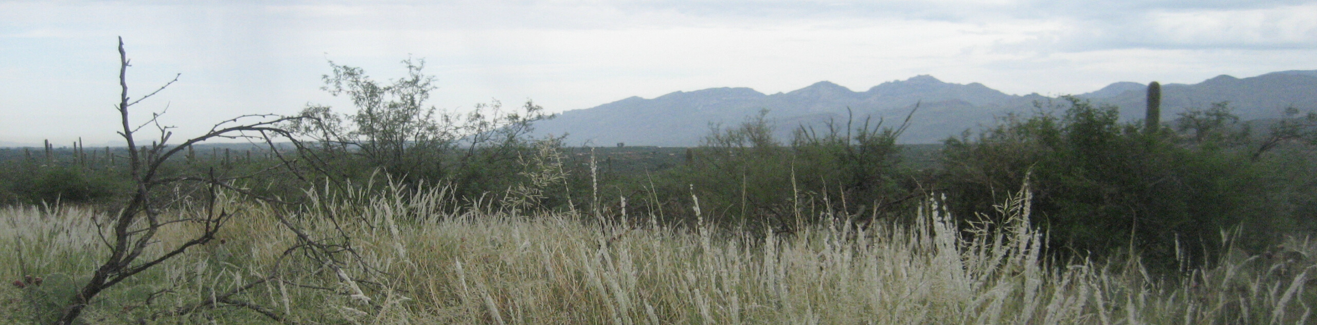
The Douglas Spring Trail is a 16.6mi hike in Saguaro National Park East. The full distance of the Douglas Spring Trail as reflected in this guide is a big trek that’s best suited to strong hikers. This route is also used by horseback riders. If you want to spend a full, beautiful day in Saguaro National Park East, this is an excellent way to immerse yourself in the saguaros and the mountain views. Keep in mind that there is a small fee required to use the trails in the park, and dogs are not permitted.
Getting there
The trailhead for the Douglas Spring Trail is at the eastern end of E Speedway Boulevard.

About
| Backcountry Campground | No |
| When to do | October-May |
| Pets allowed | No |
| Family friendly | No |
| Route Signage | Average |
| Crowd Levels | High |
| Route Type | Out and back |
Douglas Spring Trail
Elevation Graph
Weather
Douglas Spring Trail Description
The Douglas Spring Trail explores the northern edge of Tucson’s Saguaro National Park East. This park is a favorite for hikers in Tucson for its higher-elevation trails (in comparison to Saguaro National Park West) and classic desert views. This route explores the route in its entirety, so it’s a good fit for strong hikers. You can easily complete a shorter out and back or use the network of trails in the park to hike a shorter loop.
This is a big route, so come prepared with plenty of water, food, and sun protection. Don’t attempt this whole trail on a hot day, and try to get an early start to avoid the heat of the afternoon. Expect the possibility of horse traffic on this trail- remember to give riders the right of way and announce yourself from behind if you need to pass.
From the trailhead, take Douglas Spring Trail east past Scotts Knob. After a 4-way junction, the trail turns uphill to climb through a canyon. On the other side of the canyon, you’ll cross through another 4-way junction, continuing straight on. Once again, the trail ascends, then you’ll hike through a broad, flatter section with Tanque Verde Peak overhead. The route turns south and climbs to a 4-way junction just northeast of the peak, where you’ll turn back and retrace your steps to the trailhead.
Similar hikes to the Douglas Spring Trail hike

Shantz, Cholla, and Cactus Forest Loop
The Shantz, Cholla, and Cactus Forest Loop is an easy trail in Tucson’s Saguaro National Park East. The star of…

Cactus Forest, Squeeze Pen, and Pink Hill Loop
The Cactus Forest, Squeeze Pen, and Pink Hill Loop is an easy trail in Tucson’s Saguaro National Park East. This…

Hugh Norris, Sendero Esperanza, and Dobbie Wash Loop
The Hugh Norris, Sendero Esperanza, and Dobbie Wash Loop is a bit of a mouthful, but it’s a great hike…
Comments