Butterfly and Sunset Trail
View Photos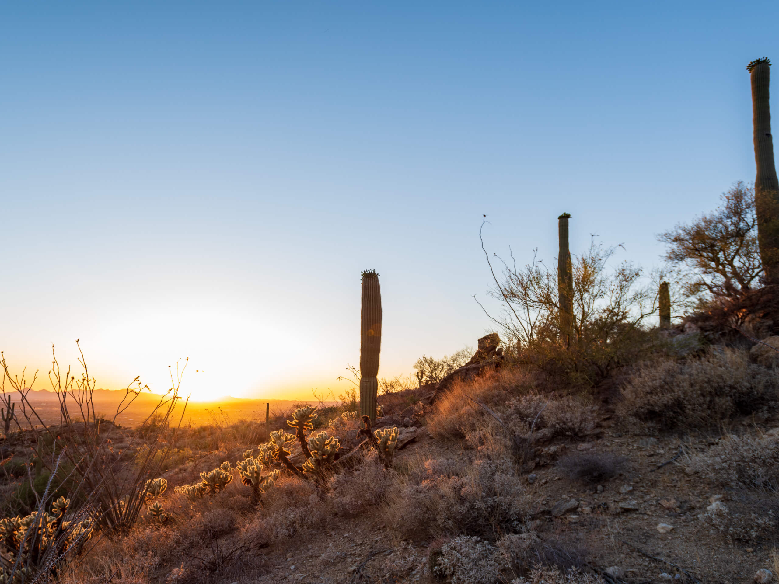
Butterfly and Sunset Trail
Difficulty Rating:
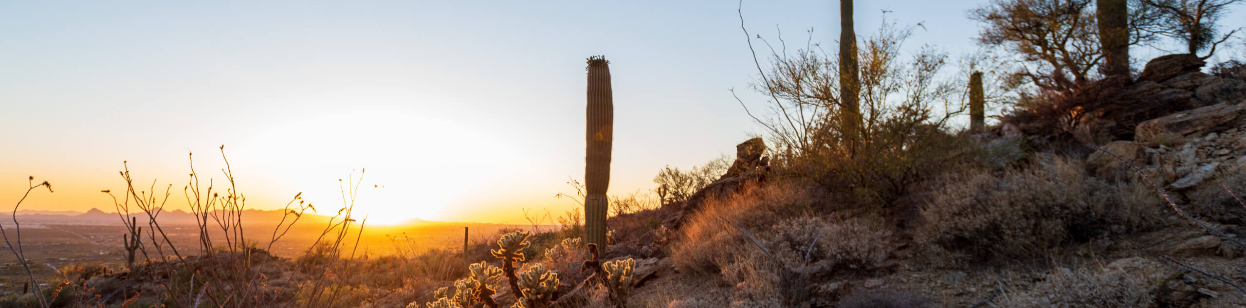
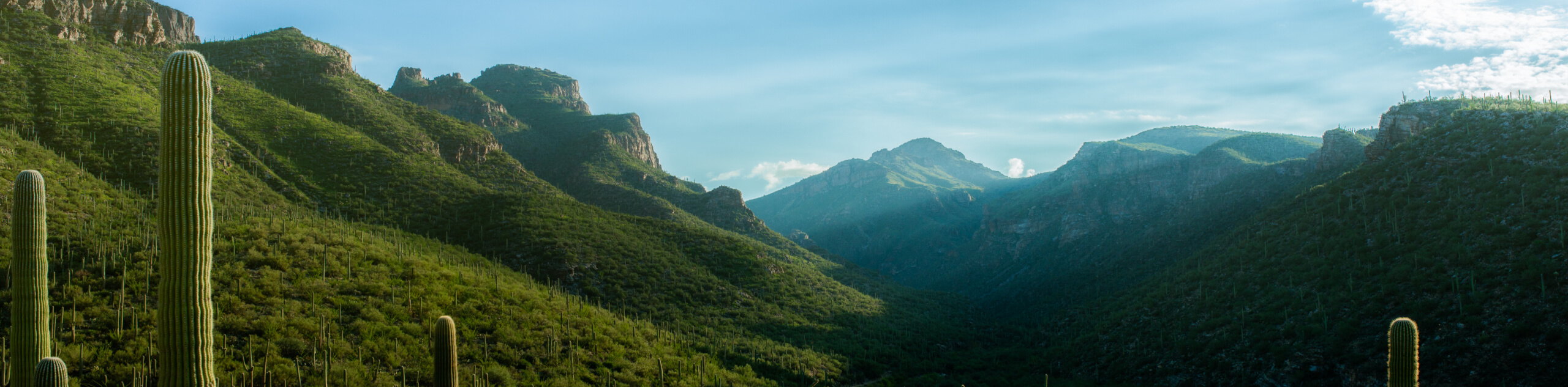
If you’re the kind of hiker who doesn’t mind a bit of overgrowth, the Butterfly and Sunset Trail is a fun trail to add to your list. This route might require a bit of bushwhacking and a tiring climb out of a canyon, but you won’t need to share it with many and the views are great. The loop takes you up and over the peak of Westfall Knob and Mount Bigelow all in one go. Come prepared with lots of hydration and good boots for this one.
Getting there
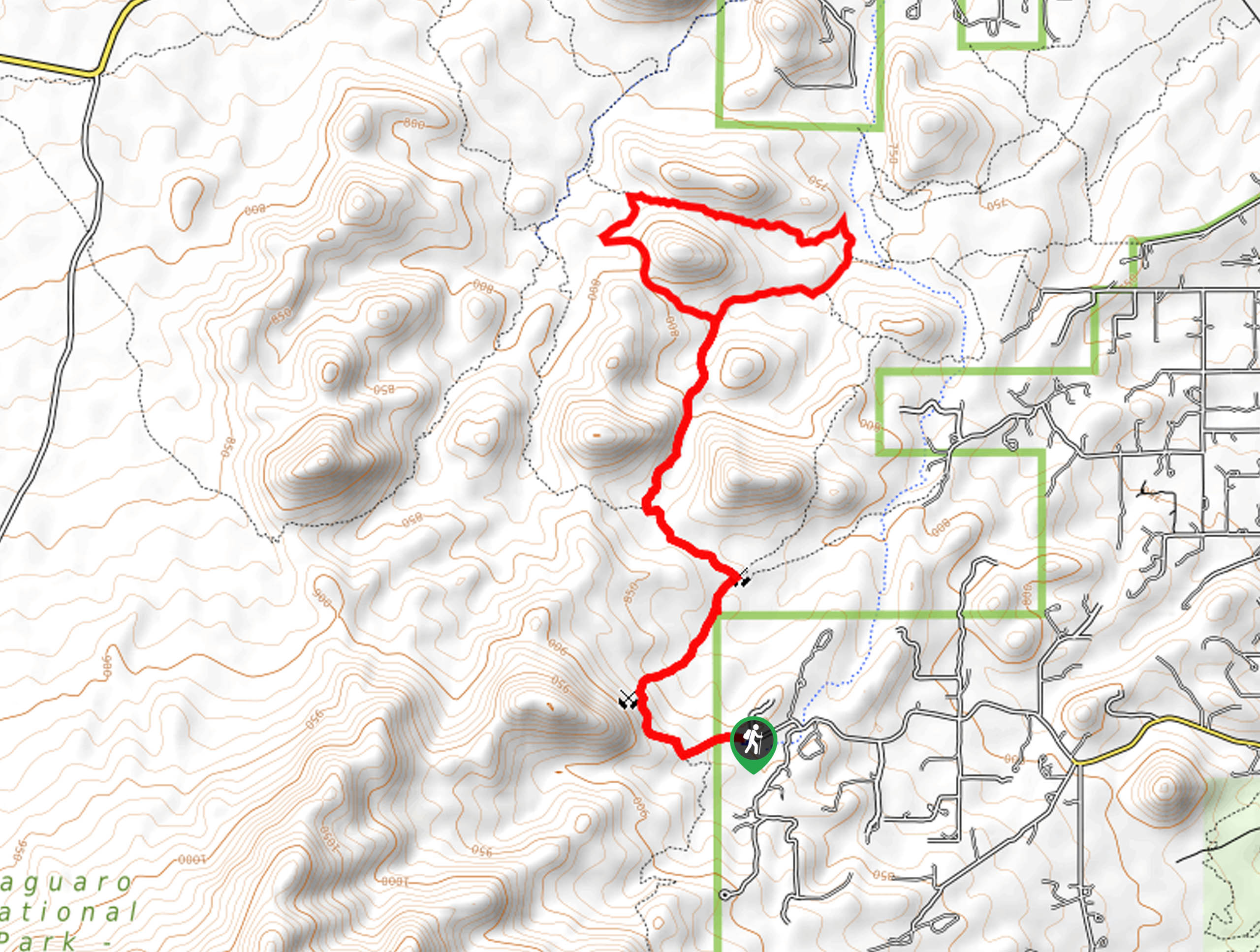
The trailhead for Butterfly and Sunset Trail is off General Hitchcock Highway.

About
| Backcountry Campground | Mount Bigelow Dispersed Camping |
| When to do | October-May |
| Pets allowed | No |
| Family friendly | No |
| Route Signage | Average |
| Crowd Levels | High |
| Route Type | Loop |
Butterfly and Sunset Trail
Elevation Graph
Weather
Butterfly and Sunset Trail Description
Those seeking a bit more adventure and more of a mountain feel than the average hike in Tucson provides can go just a few miles outside of the city to hike the Butterfly and Sunset Trail. This route is a bit intrepid thanks to its overgrowth, but it takes you over two peaks in one loop, offering awesome views and an undeniable sense of satisfaction at the end of it all.
This route is long and strenuous, so bring more water than you think you’ll need and pack snacks. You’ll want to be prepared for both hot weather and potentially chilly winds at higher elevations, so bring layers and sun protection.
This hike is a loop and we recommend going clockwise. From the trailhead, cross the highway and take Butterfly Trail past Butterfly Peak, where you’ll drop down from the saddle to traverse the rugged terrain that leads to Westfall Knob. Climb up and over this peak from north to south, then turn east once you reach Mount Bigelow to crest the summit. Follow this ridge as it leads you back to the trailhead.
Similar hikes to the Butterfly and Sunset Trail hike

Hugh Norris, Sendero Esperanza, and Dobbie Wash Loop
The Hugh Norris, Sendero Esperanza, and Dobbie Wash Loop is a bit of a mouthful, but it’s a great hike…
Bear Canyon Trail
Bear Canyon Trail is one of the main routes in Tucson’s Sabino Canyon Recreation Area. The entire trail is almost…
Cactus Canyon and Gila Monster Loop
The Cactus Canyon and Gila Monster Loop is a 6.0mi hike in Tucson’s Saguaro National Park that puts…
Comments