Wetterhorn Basin via West Fork Trail
View Photos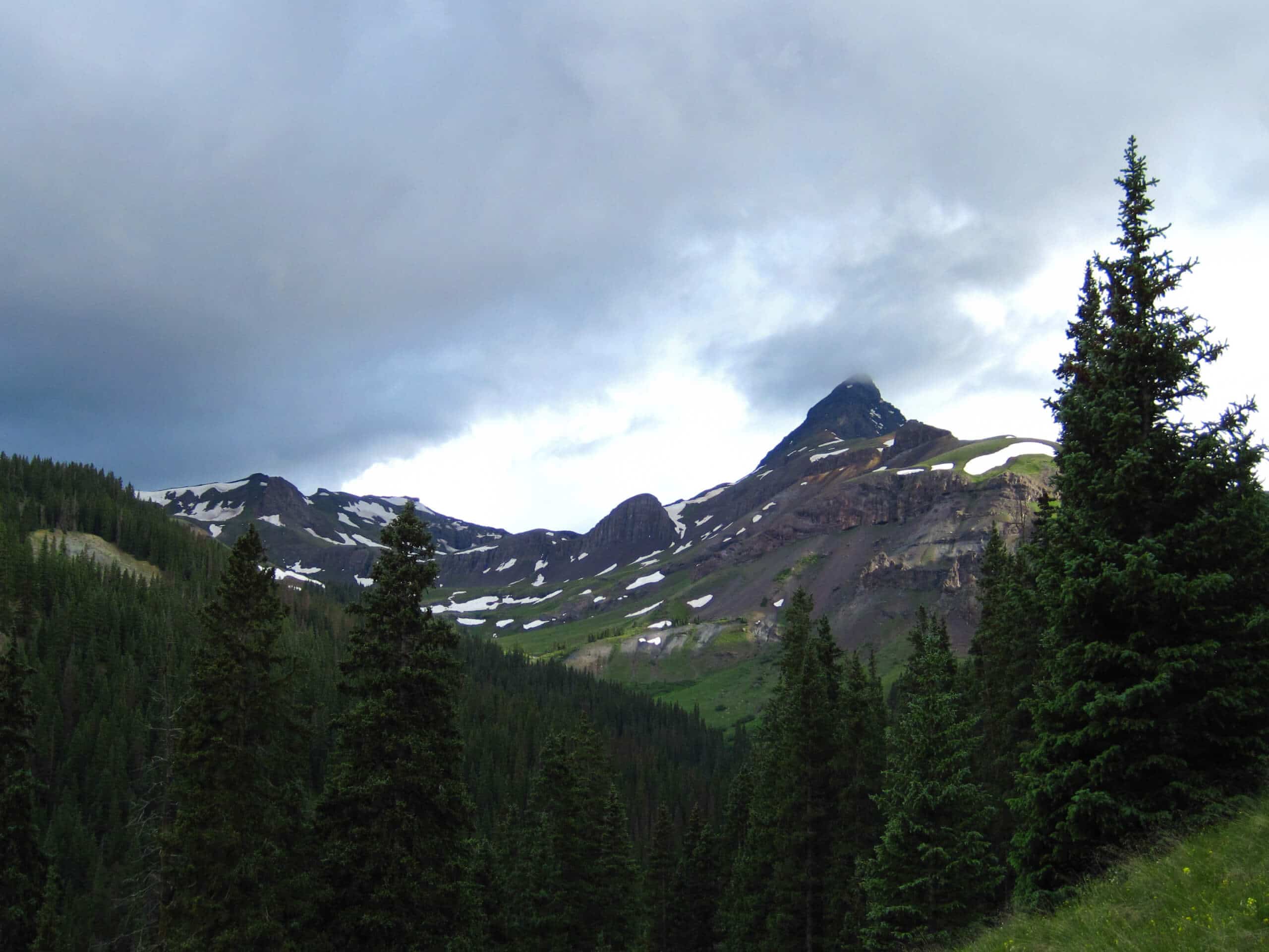
Wetterhorn Basin via West Fork Trail
Difficulty Rating:
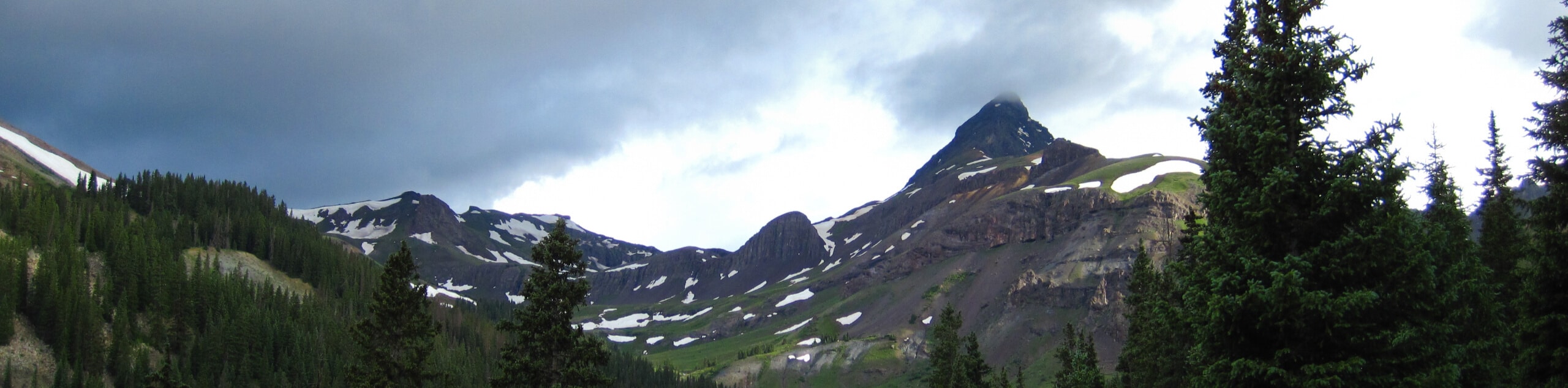
The Wetterhorn Basin via West Fork Trail is a breathtaking hiking excursion in the San Juan Mountains that will take you through some rugged terrain for stunning views. While out hiking the trail, you will traverse scenic alpine meadows and tranquil forests, before climbing over a scree slope to access the Wetterhorn Basin. Hikers should take note that the road leading into the trailhead is very rough and rugged, requiring a 4x4 high-clearance vehicle to safely traverse.
Getting there
The starting point for the Wetterhorn Basin via West Fork Trail can be found south of the Wetterhorn Trailhead along County Road H1.

About
| Backcountry Campground | No |
| When to do | August-October |
| Pets allowed | Yes |
| Family friendly | Older Children only |
| Route Signage | Average |
| Crowd Levels | Low to Moderate |
| Route Type | Out and back |
Wetterhorn Basin via West Fork Trail
Elevation Graph
Weather
Wetterhorn Basin via West Fork Trail Description
For those adventurers that maybe don’t have the experience for a more challenging summit trek, but still want to take in the rugged beauty of the San Juan Mountains, the Wetterhorn Basin via West Fork Trail is a great option to get out into the mountains and climb through a variety of terrain. Make sure to wear proper hiking boots that can keep your feet dry during stream crossings, as well as bear spray for safety.
Setting out from the trailhead, you will make your way to the southeast along the banks of the Cimarron River, taking in the views of the surrounding mountain peaks as you hike through serene stretches of woodland terrain and peaceful meadows. Eventually, the route will begin to steepen, and you will find yourself traversing a loose scree slope through a mountain pass.
After working your way through the pass and experiencing the breathtaking views of the surrounding mountains, you will descend into the scenic Wetterhorn Basin until you arrive at the banks of Wetterhorn Creek. Take some time here to explore the area and soak up the views, before heading back along the same trail through the pass for the return to the trailhead.
Similar hikes to the Wetterhorn Basin via West Fork Trail hike

Twin Buttes and Lightner Creek Loop Trail
The Twin Buttes and Lightner Creek Loop Trail is a great hiking route in Durango, Colorado that features some challenging…

Meadow Loop via Horse Gulch Trail
The Meadow Loop via Horse Gulch Trail is a great hiking route in Durango that will take you uphill for…

The Ridge Trail
The Ridge Trail - also known as Raiders Ridge Trail - is an amazing hiking route in Durango, Colorado that…
Comments