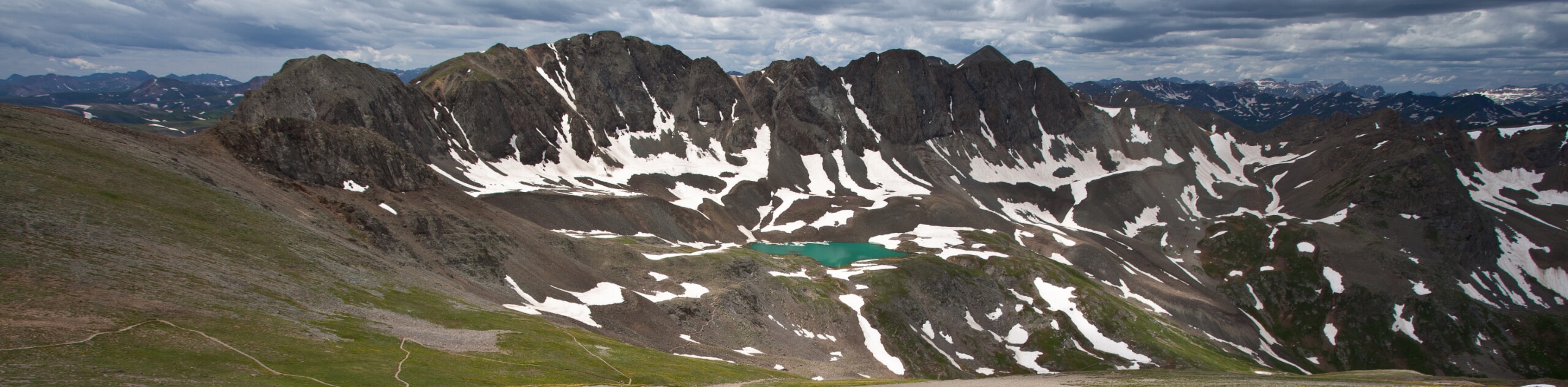
Handies Peak from Silver Creek/Grizzly Gulch
View Photos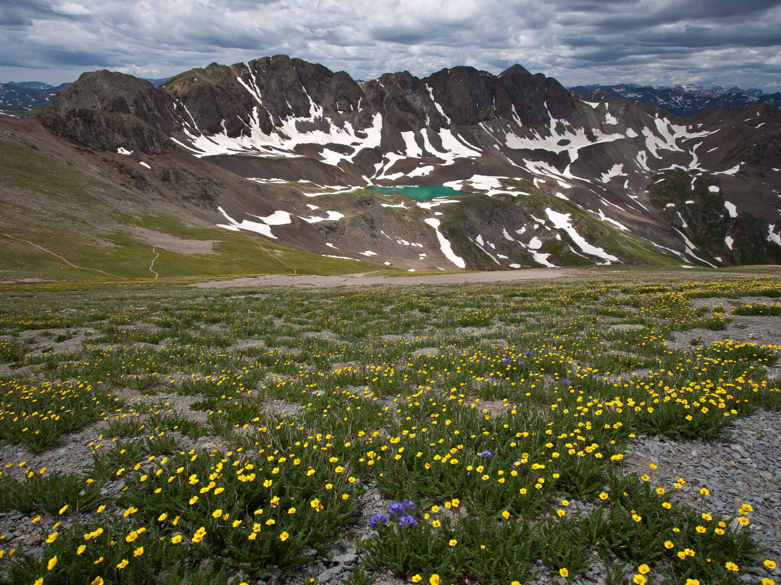
Handies Peak from Silver Creek/Grizzly Gulch
Difficulty Rating:
Hiking up to Handies Peak from Silver Creek/Grizzly Gulch is a spectacular adventure that is only meant for experienced hikers, but offers stunning views of the surrounding San Juan Mountains. While out on the trail, you will climb uphill through Grizzly Gulch, before making the final ascent of Handies Peak across some loose rocks for beautifully scenic views of the American Basin. The road leading into the trailhead is a bit rough, and while a normal vehicle can make it in with some caution, it is best to have a 4x4 high clearance vehicle.
Getting there
The starting point for the hike to Handies Peak from Silver Creek/Grizzly Gulch can be found at the Silver Creek/Grizzly Gulch Trailhead on Cinnamon Pass Road.

About
| Backcountry Campground | No |
| When to do | May-September |
| Pets allowed | No |
| Family friendly | No |
| Route Signage | Average |
| Crowd Levels | Moderate |
| Route Type | Out and back |
Handies Peak from Silver Creek/Grizzly Gulch
Elevation Graph
Weather
Handies Peak from Silver Creek/Grizzly Gulch Description
For experienced adventurers that want to tackle a challenging trail with gorgeous views across the San Juan Mountains Range, the hike to Handies Peak from Silver Creek/Grizzly Gulch will be an amazing route to explore.
Setting out from the trailhead, you will make your way to the southwest to begin climbing uphill through Grizzly Gulch. Here, you will pass through tranquil swathes of woodland landscape and peaceful alpine meadows, before pushing up from the basin and onto a ridge that will take you to the summit of Handies Peak.
Turning your direction to the south, you will make the steep climb up to the summit across a slope covered in loose rock, eventually arriving at the viewpoint to experience the breathtaking scenery across the American Basin and nearby mountain peaks. After pausing for some rest and to revel in the views, carefully descend along the same path to return to the trailhead where you started.
Similar hikes to the Handies Peak from Silver Creek/Grizzly Gulch hike

Twin Buttes and Lightner Creek Loop Trail
The Twin Buttes and Lightner Creek Loop Trail is a great hiking route in Durango, Colorado that features some challenging…

Meadow Loop via Horse Gulch Trail
The Meadow Loop via Horse Gulch Trail is a great hiking route in Durango that will take you uphill for…

The Ridge Trail
The Ridge Trail - also known as Raiders Ridge Trail - is an amazing hiking route in Durango, Colorado that…
Comments