Animas River Trail
View Photos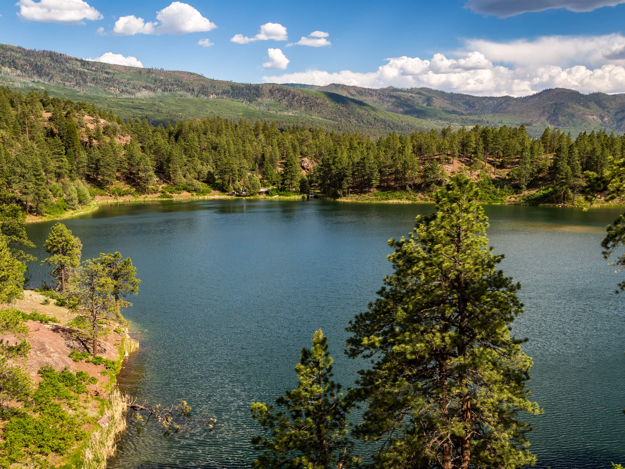
Animas River Trail
Difficulty Rating:
The Animas River Trail is an awesome hiking route in Durango, Colorado that will take you through the town along the banks of the Animas River. While out hiking the trail, you will follow along the winding river bank and cross over the water several times, as you take in the views of the city and surrounding landscape enroute to the turnaround point at Dallabetta Park. Hikers should take note that the terrain along this route is laidback and the trail is wheelchair friendly, making this an ideal hike for outdoor enthusiasts of all ages and skill levels.
Getting there
The trailhead for the Animal River Trail can be found at the 29th Street Park along East 29th Street.

About
| Backcountry Campground | No |
| When to do | Year-Round |
| Pets allowed | Yes - On Leash |
| Family friendly | Yes |
| Route Signage | Average |
| Crowd Levels | Moderate |
| Route Type | Out and back |
Animas River Trail
Elevation Graph
Weather
Animas River Trail Description
Whether you are looking for the perfect long-distance trail running route or want to take a relaxing stroll along the river’s edge with family and friends, the Animas River Trail is the perfect route to do so in Durango, Colorado.
Setting out from the trailhead at 29th Street Park, you will make your way to the south alongside the river bank, where you will quickly utilize the bridge to cross over to the opposite side of the river. Throughout the course of this hike you will make several crossings over the river, offering plenty of opportunities to take in the views of the beautiful riverside setting.
As you continue along the trail, you will enjoy a nice mixture of urban and natural views, as the river winds to the south and cuts through Durango. Eventually, you will cross over the river for a seventh time and arrive at Dallabetta Park, which signifies the endpoint of the route. After a quick rest, simply head back along the same route to take in the scenic views once again on the way to the trailhead.
Similar hikes to the Animas River Trail hike

Twin Buttes and Lightner Creek Loop Trail
The Twin Buttes and Lightner Creek Loop Trail is a great hiking route in Durango, Colorado that features some challenging…

Meadow Loop via Horse Gulch Trail
The Meadow Loop via Horse Gulch Trail is a great hiking route in Durango that will take you uphill for…
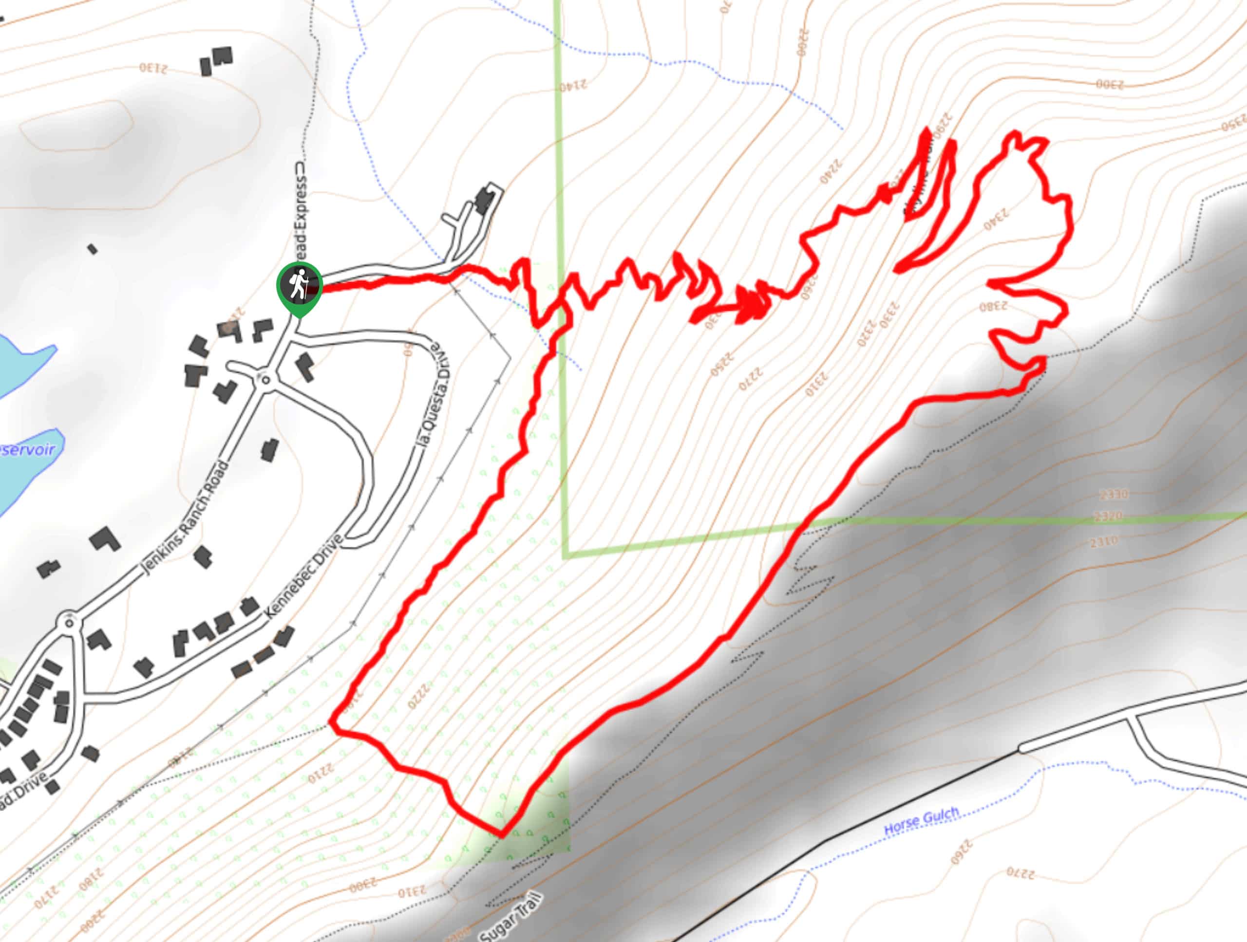
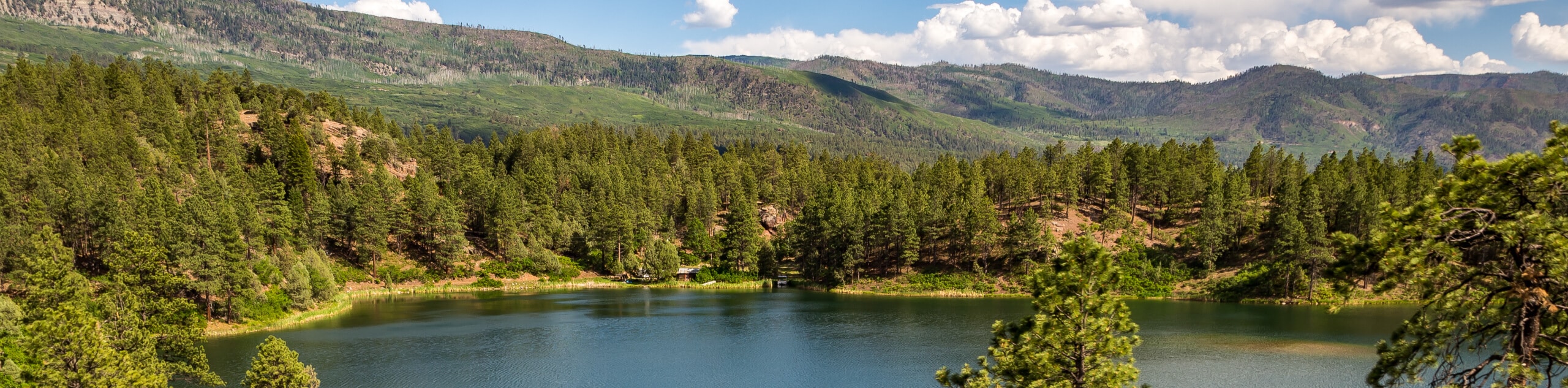
Skyline Trail from Jenkins Ranch Road
Hiking the Skyline Trail from Jenkins Ranch Road is a great outdoor experience in Durango, Colorado that offers scenic views…
Comments