American Basin Trail
View Photos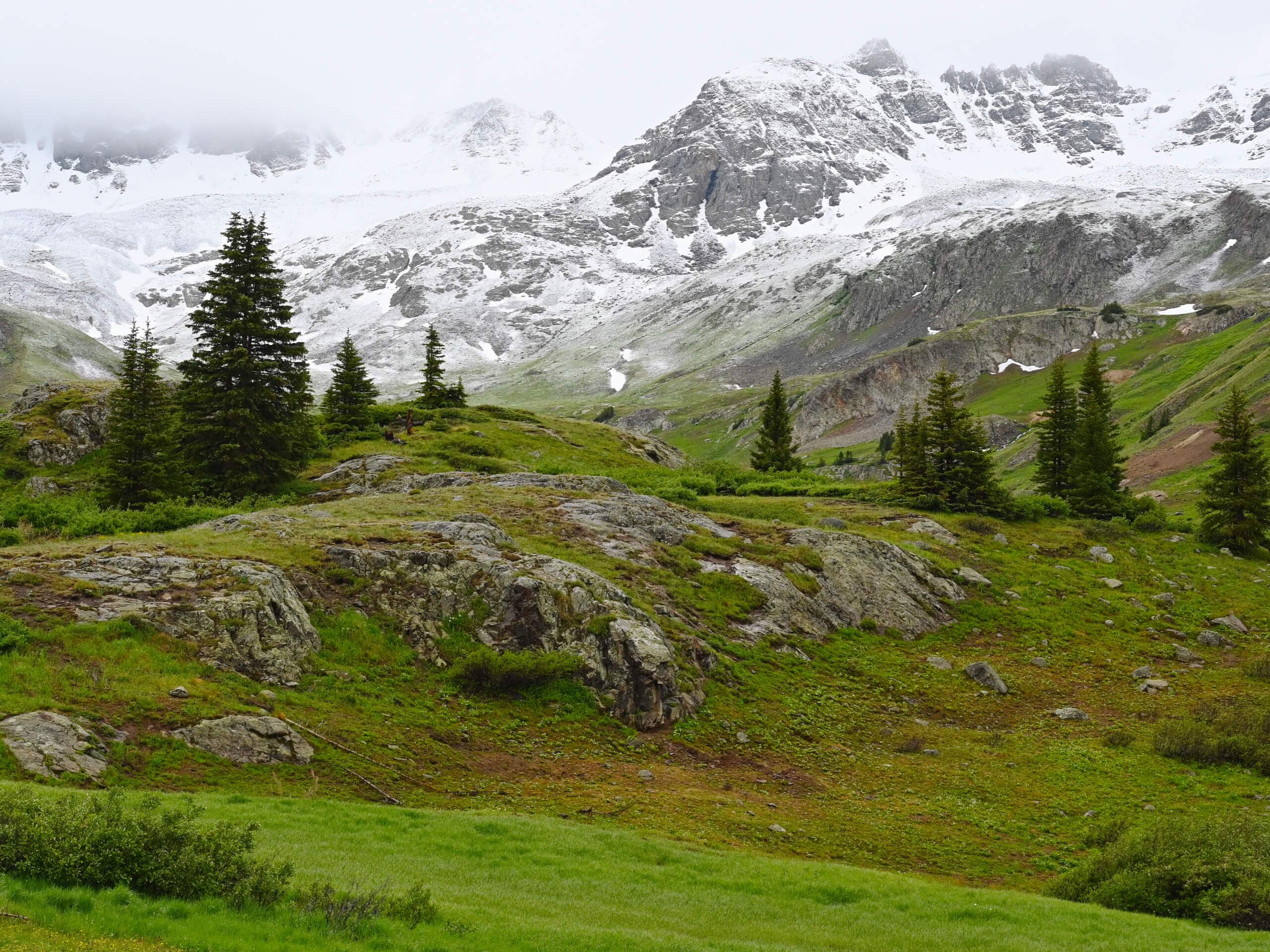
American Basin Trail
Difficulty Rating:
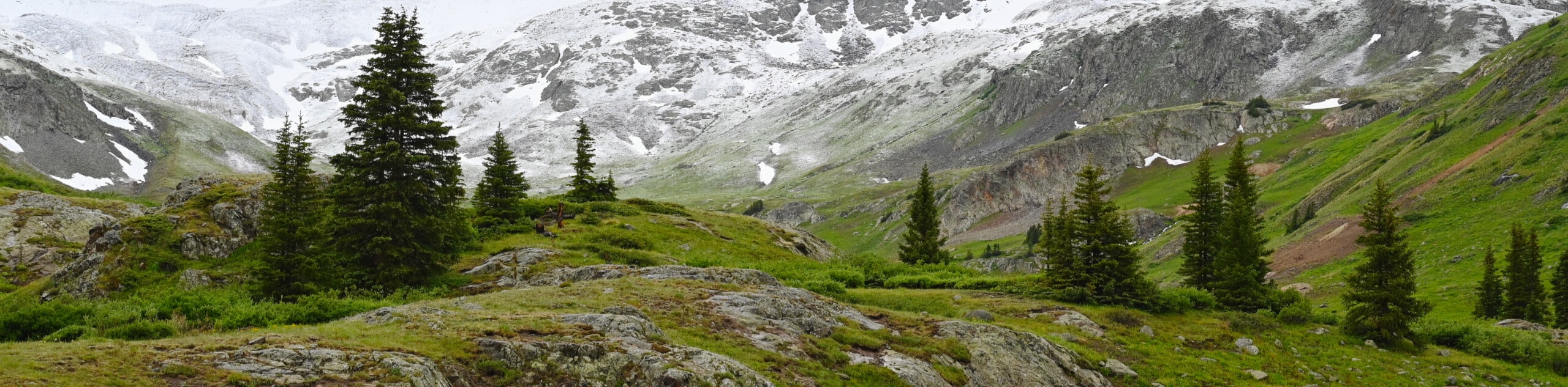
The American Basin Trail is a quick, albeit fairly steep, hiking route in Colorado that will lead you through the badsin for views of the surrounding mountains. While out hiking the trail, you will climb uphill to the south along COunty Road 12, while taking in the stunning views of the surrounding peaks, including American Peak and Jones Mountain to the south. Hikers should take note that the road into the trailhead is very rugged and will require a 4x4 off-road vehicle to safely traverse.
Getting there
The American Basin Trailhead can be found along County Road 12, just 22.2mi southwest of Lake City.

About
| Backcountry Campground | No |
| When to do | July-October |
| Pets allowed | Yes - On Leash |
| Family friendly | Yes |
| Route Signage | Average |
| Crowd Levels | Moderate |
| Route Type | Out and back |
American Basin Trail
Elevation Graph
Weather
American Basin Trail Description
If you are in the mood for a short adventure in the mountains that offers breathtaking views and aren;t concerned with a rugged and lengthy drive into the trailhead, then the American Basin Trail in the San Juan Mountains of Colorado will be a great option for you to explore.
Setting out from the trailhead, you will head to the south along County Road 12, following the rugged road as it climbs uphill through the basin. This hike will see you gain a decent amount of elevation over its short length, so make sure to take your time and appreciate the beautiful views.
As you continue working your way uphill through the basin, you will enjoy stunning views of the surrounding mountain peaks, including American Peak and Jones Mountain to the south, as well as Handies Peak to the east and Cinnamon Mountain to the northwest. You will know that you have reached the end point of the route after coming to a junction in the trail. From here, you can continue on a bit further to reach the shores f Sloan Lake, or simply head back along the road to return to the trailhead.
Similar hikes to the American Basin Trail hike

Twin Buttes and Lightner Creek Loop Trail
The Twin Buttes and Lightner Creek Loop Trail is a great hiking route in Durango, Colorado that features some challenging…

Meadow Loop via Horse Gulch Trail
The Meadow Loop via Horse Gulch Trail is a great hiking route in Durango that will take you uphill for…

The Ridge Trail
The Ridge Trail - also known as Raiders Ridge Trail - is an amazing hiking route in Durango, Colorado that…
Comments