Kendall Peak Road Hike
View Photos
Kendall Peak Road Hike
Difficulty Rating:
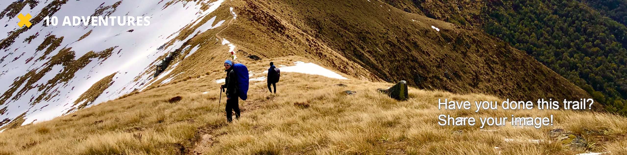
The Kendall Peak Road Hike is a challenging adventure in the San Juan Mountains that will take you along a rugged road for views of nearby mountain peaks. While out hiking the trail, you will traverse the backcountry road as it climbs uphill to an alpine basin that offers stunning views of Kendall Mountain and Kendall Peak. Hikers should take note that this is a multi-use trail that is popular with off-road vehicle drivers, so make sure to exercise caution and share the trail.
Getting there
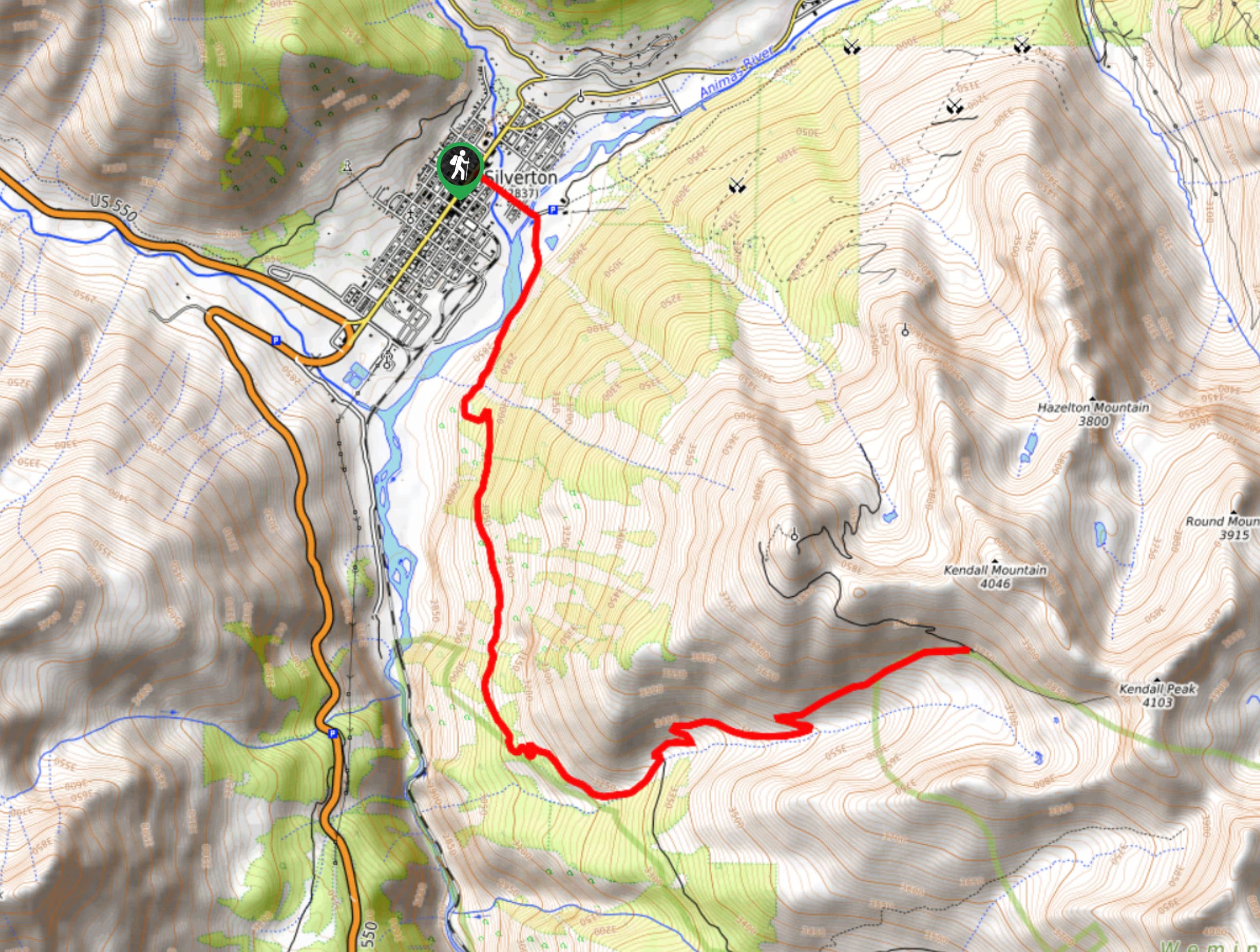
The trailhead for the Kendall Peak Road Hike can be found in the town of Silverton, at the corner of Greene St and E 14th St.

About
| Backcountry Campground | No |
| When to do | July-October |
| Pets allowed | Yes - On Leash |
| Family friendly | No |
| Route Signage | Average |
| Crowd Levels | Moderate |
| Route Type | Out and back |
Kendall Peak Road Hike
Elevation Graph
Weather
Kendall Peak Road Hike Description
If you are in the Silverton area and are looking for a challenging, but non-technical, route that will take you into the mountains for stunning views, then the Kendall Peak Road Hike will be a great option for you. This route is commonly used as an off-road vehicle trail, meaning that the terrain will be rough but the navigation will be straightforward.
Setting out from the heart of Silverton, you will head to the southeast along E 14th Street and cross over the Animas River. From here, you will head right at the fork in the road in order to make your way south and begin climbing up the mountainside.
Continuing along the winding road, you will climb uphill through the forest to the south, before the route bends towards the east. Here, the route will begin to climb at a steeper grade, as you traverse the alpine basin to reach a point just below Kendal Mountain and Kendall Peak. Take some time here to enjoy the breathtaking mountain views, before working your way back along the same trail to descend into Silverton.
Similar hikes to the Kendall Peak Road Hike hike

Twin Buttes and Lightner Creek Loop Trail
The Twin Buttes and Lightner Creek Loop Trail is a great hiking route in Durango, Colorado that features some challenging…

Meadow Loop via Horse Gulch Trail
The Meadow Loop via Horse Gulch Trail is a great hiking route in Durango that will take you uphill for…

The Ridge Trail
The Ridge Trail - also known as Raiders Ridge Trail - is an amazing hiking route in Durango, Colorado that…
Comments