Pagosa Peak Hike
View Photos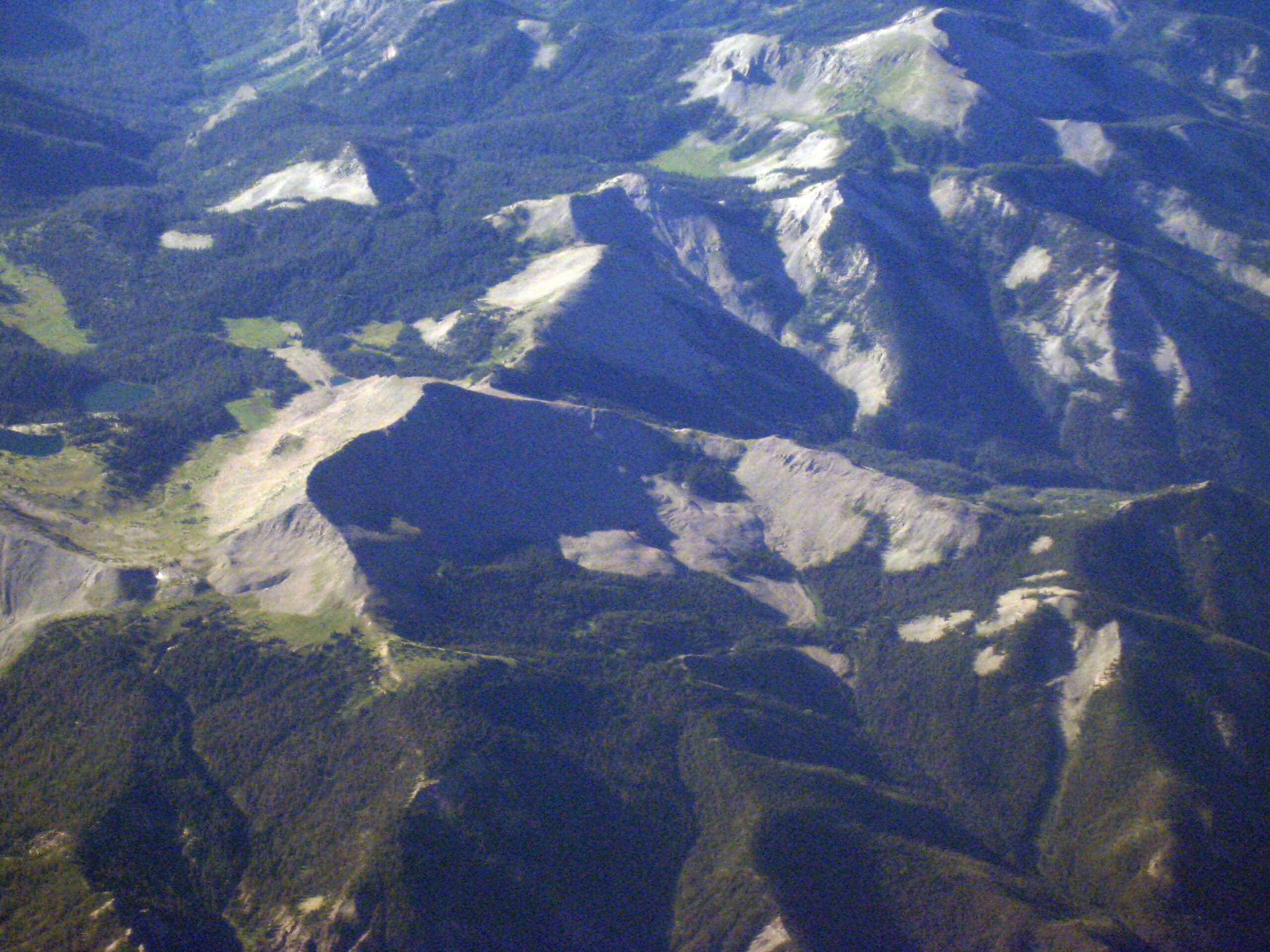
Pagosa Peak Hike
Difficulty Rating:
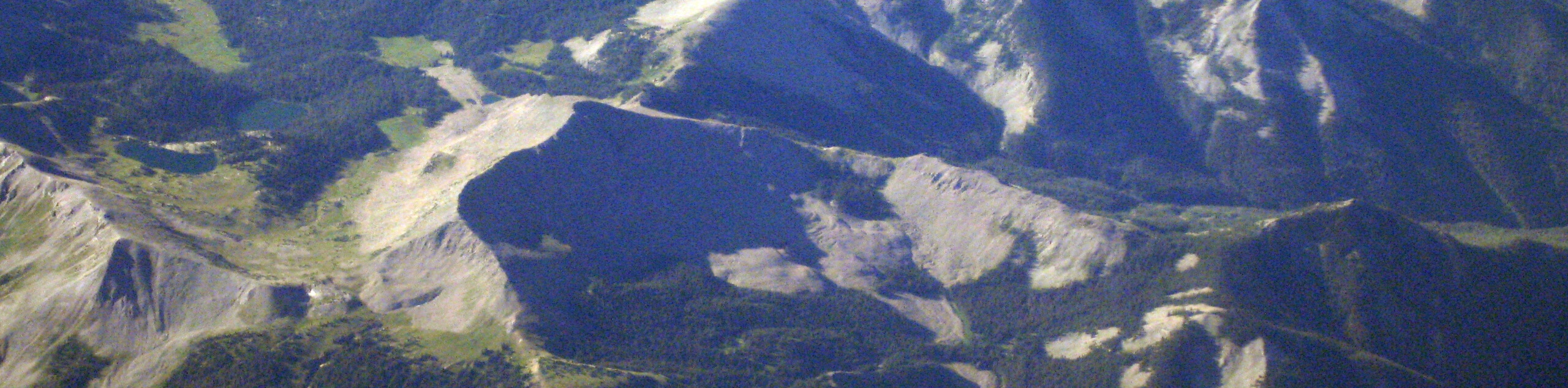
The Pagosa Peak Hike is a tough route north of Pagosa Springs, Colorado that will take you to the summit of the mountain for incredible views over the San Juan Mountain Range. While out hiking the trail, you will climb uphill through a vast stretch of woodland terrain and skirt around the slopes of Black Mountain, before making the final push up the rocky terrain of Pagosa Peak for some stunning views. This hike is tough but is not overly technical, making it a great option if you are looking to push yourself with a more difficult route.
Getting there
The trailhead for the Pagosa Peak Hike can be found 6.5mi northeast of the Upper Piedra Campground along Forest Service Road 634.

About
| Backcountry Campground | No |
| When to do | April-September |
| Pets allowed | Yes |
| Family friendly | No |
| Route Signage | Poor |
| Crowd Levels | Moderate |
| Route Type | Out and back |
Pagosa Peak Hike
Elevation Graph
Weather
Pagosa Peak Hike Description
Although it isn’t a technical climbing route, the Pagosa Peak Hike is a tough adventure that features some steep and challenging terrain along a route that is poorly marked. Make sure to wear proper hiking footwear and crampons if the conditions are icy/snowy enough to call for them. Additionally, if you are worried about straying off the correct route, be sure to bring a GPS.
If you fancy a bit of a challenge and are keen on experiencing some gorgeous views of the San Juan Mountains, then the Pagosa Peak Hike will be the perfect route for you. Beautiful woodlands, rocky mountain terrain, and sweeping views across the rugged alpine and wide open plains await on this exceptional Colorado adventure.
Setting out from the trailhead on Forest Service Road 634, you will make your way to the east along the rugged dirt dirt road leading through the forest, following it as it eventually turns to the south. After 0.7mi, turn left at the junction in the road and continue on to the northeast for another 0.9mi to arrive at another junction just before the Jim Tree Mine.
Turning right here, you will make your way to the southeast through the tranquil woodland landscape and continue climbing gradually uphill, eventually turning to the east as the tree cover becomes more spotty and you skirt around the slopes of Black Mountain. Here, you will meet up with the banks of Little Pagosa Creek and follow along the water’s edge in an eastern direction for 1.1mi.
At this point in the hike the trail will become far less traveled, so make sure to bring a GPS if you are worried about losing your way and want to stay on the correct course to Pagosa Peak. Breaking off from the winding trail in an eastern direction, you will continue climbing uphill alongside the creek and eventually break free of the tree cover as you push your way through the rugged terrain to reach the ridge.
Turning to the north, carefully make your way across the rugged ridgeline as it leads you up towards the summit of Pagosa Peak. Eventually, you will arrive at the scenic viewpoint and be met by the incredible alpine scenery of the San Juan Mountains to the north, and the sprawling plains to the southwest. After taking in the amazing views, simply head back along the same trail to return to the trailhead where you began your adventure along the Pagosa Peak Hike.
Trail Highlights
Pagosa Peak
Located just north of Pagosa Springs, Pagosa Peak is a prominent mountain towards the southern end of the San Juan Mountain Range. At a height of 12556ft the summit viewpoint offers a great sightline across the other mountains in the range, as well as the sprawling plains to the southwest.
Insider Hints
Proper hiking boots with good support are strongly recommended for this hike.
Wear long pants for this hike, as sections of the trail are a bit overgrown.
Those with a 4x4 high clearance vehicle can drive further up the trail to shorten their hike, although the road is very rugged.
Similar hikes to the Pagosa Peak Hike hike

Twin Buttes and Lightner Creek Loop Trail
The Twin Buttes and Lightner Creek Loop Trail is a great hiking route in Durango, Colorado that features some challenging…

Meadow Loop via Horse Gulch Trail
The Meadow Loop via Horse Gulch Trail is a great hiking route in Durango that will take you uphill for…

The Ridge Trail
The Ridge Trail - also known as Raiders Ridge Trail - is an amazing hiking route in Durango, Colorado that…
Comments