Perins Peak Hike
View Photos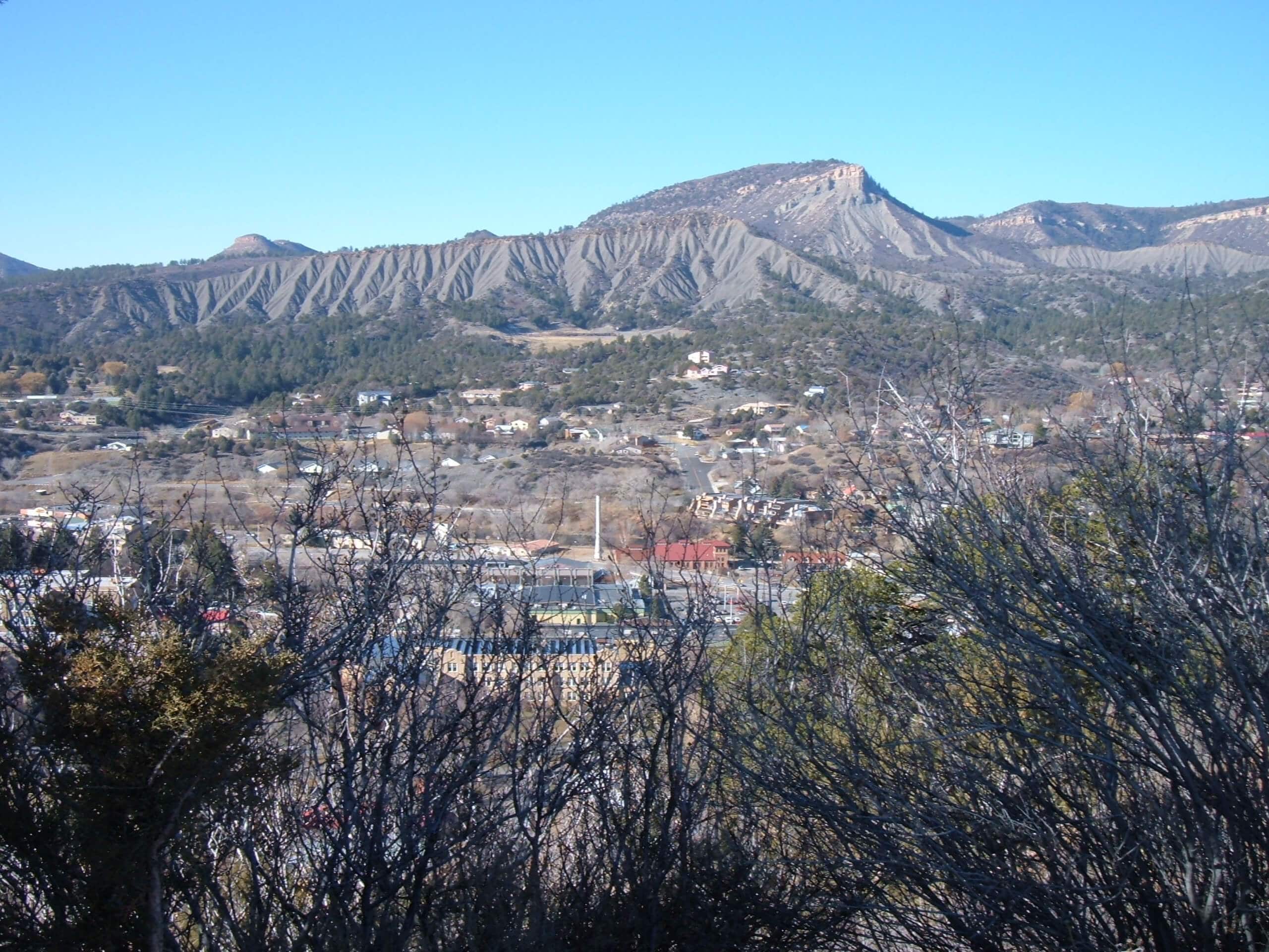
Perins Peak Hike
Difficulty Rating:
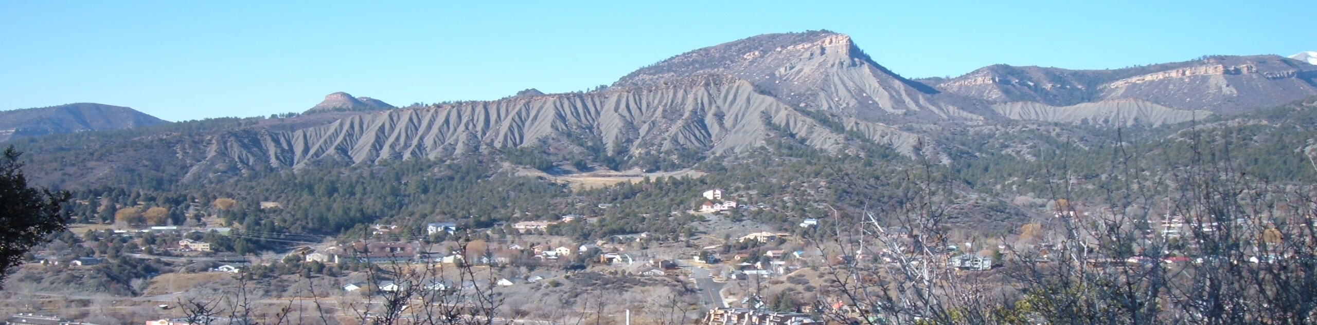
The Perins Peak Hike is a fantastic adventure in Durango that climbs up a rugged mountain for exceptional views overlooking Durango and the surrounding landscape. Hikers should take note that this route is closed periodically for habitat protection purposes. You can check the Colorado Parks and Wildlife Website for information on trail closures. You will also need a valid hunting or fishing license in order to enter the Perins Wilderness Area, or else you will be fined.
Getting there
The trailhead for the Perins Peak Hike can be found off Tanglewood Drive, 1.8mi northwest of US-550.

About
| Backcountry Campground | No |
| When to do | August-December |
| Pets allowed | Yes |
| Family friendly | Older Children only |
| Route Signage | Average |
| Crowd Levels | Low |
| Route Type | Out and back |
Perins Peak Hike
Elevation Graph
Weather
Perins Peak Hike Description
If you are after a solid half-day hike near Durango that will provide a good challenge and reward you with stunning views overlooking the surrounding San Juan Mountains, then the Perins Peak Hike will be a great option for you to explore.
Setting out from the trailhead, you will make your way to the southwest and climb uphill through the wooded gulch, before following the trail as it bends around to the east. Here, you will make the final push up to the summit of Perins Peak, which is marked by a large cairn.
Those who want to experience a breathtaking sightline overlooking Durango and the surrounding landscape can continue further past the carin, but should exercise caution if doing so. After taking in the views, make your way back down the trail to return to your vehicle.
Similar hikes to the Perins Peak Hike hike

Twin Buttes and Lightner Creek Loop Trail
The Twin Buttes and Lightner Creek Loop Trail is a great hiking route in Durango, Colorado that features some challenging…

Meadow Loop via Horse Gulch Trail
The Meadow Loop via Horse Gulch Trail is a great hiking route in Durango that will take you uphill for…

The Ridge Trail
The Ridge Trail - also known as Raiders Ridge Trail - is an amazing hiking route in Durango, Colorado that…
Comments