V2 and Ice Lake Basin Hike
View Photos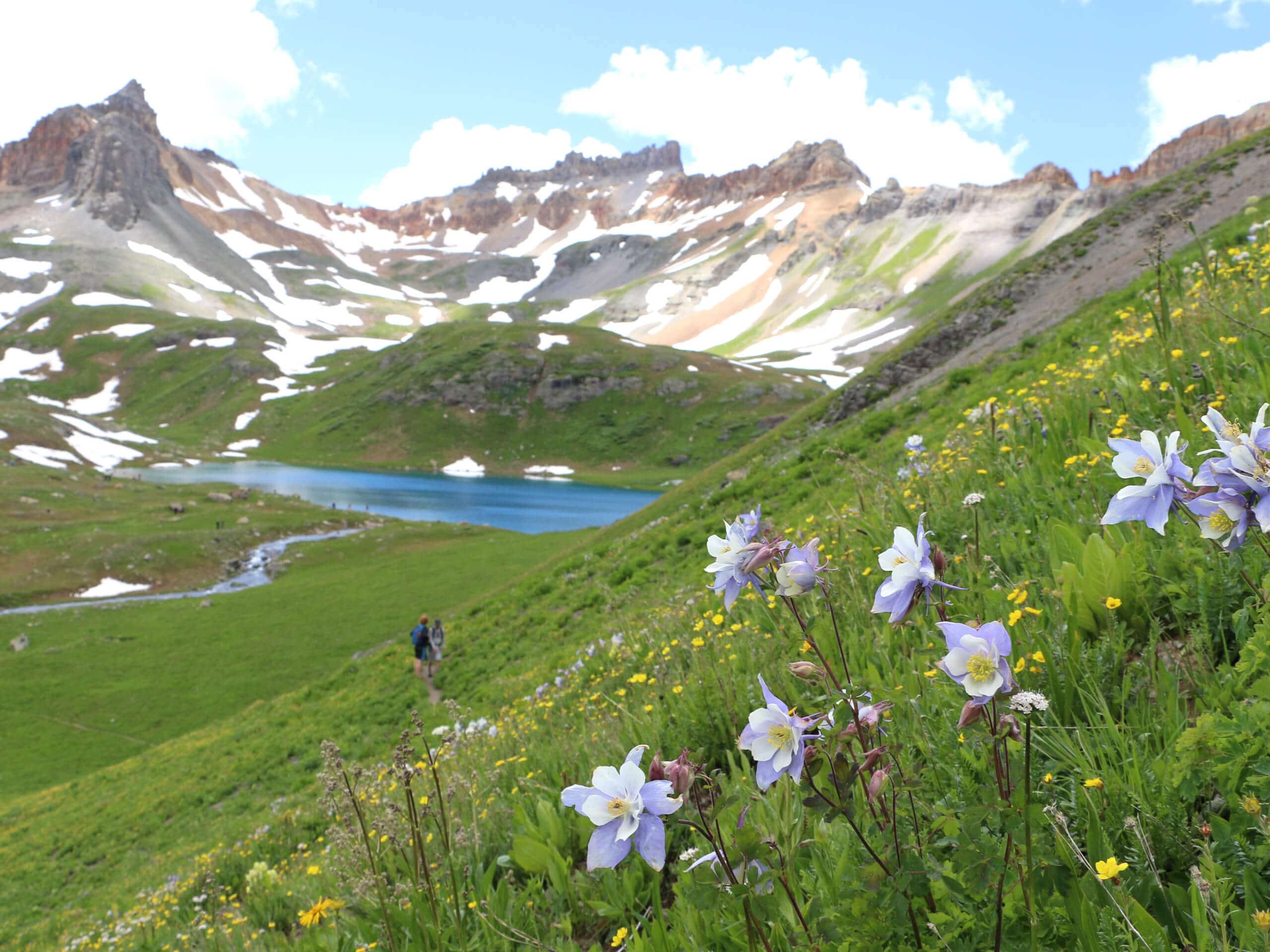
V2 and Ice Lake Basin Hike
Difficulty Rating:
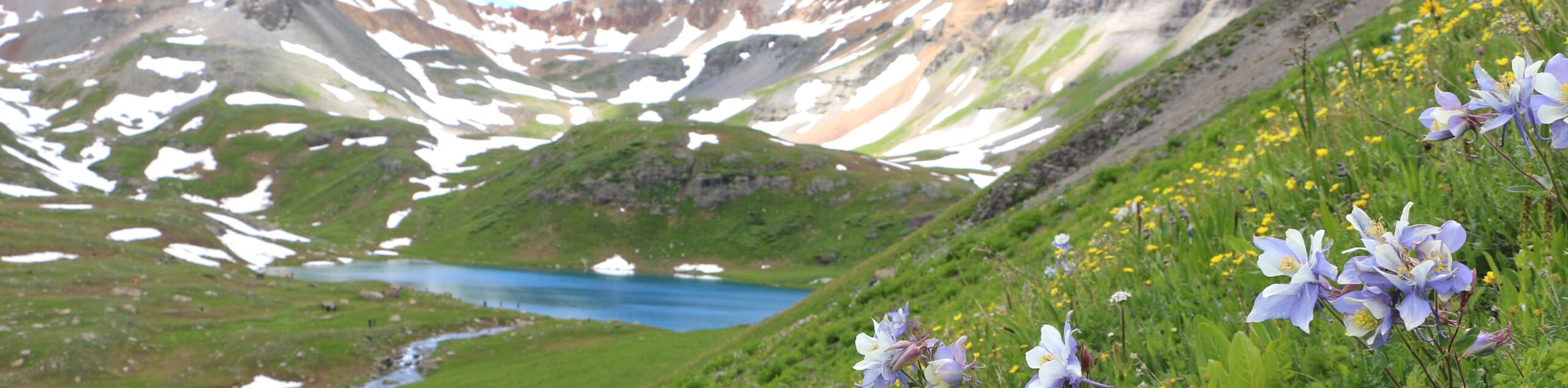
The V2 and Ice Lake Basin Hike is a tough climb into the San Juan Mountains that features some rugged alpine terrain and wonderfully scenic views over several lakes. While out hiking the trail, you will climb uphill alongside creeks and waterfalls to reach the top of V2 with stunning mountain views, before completing the return loop around the Island and Ice lakes. As it is a popular route, be sure to arrive early or on off-peak days if you are looking for some semblance of solitude along the trail.
Getting there
The trailhead for the V2 and Ice Lake Basin Hike can be found along Forest Service Road 585 at the Ice Lake Trailhead across from South Mineral Campground.

About
| Backcountry Campground | South Mineral Campground |
| When to do | April-September |
| Pets allowed | Yes |
| Family friendly | No |
| Route Signage | Average |
| Crowd Levels | High |
| Route Type | Lollipop |
V2 and Ice Lake Basin Hike
Elevation Graph
Weather
V2 and Ice Lake Basin Hike Description
Although there will likely be a large number of hikers on the V2 and Ice Lake Basin Hike, you shouldn’t let it deter you from setting out on this fantastic trail. Breathtaking views of the San Juan Mountains and nearby alpine lakes will be more than enough reward, both for traversing the challenging terrain and navigating the throngs of outdoor enthusiasts.
Setting out from the trailhead, you will make your way to the northwest through the dense forest and begin climbing up the mountainside on the way to Clear Creek Falls. After taking in the sights of the impressive waterfall, you will turn more to the west to pass through a mixture of forest and alpine meadow, keeping right along the steep trail to eventually arrive at the shores of Island Lake.
Pushing further uphill to the north, you will arrive at the top of a ridge and follow it east to the summit of V2, where you will experience breathtaking views of the surrounding area. From here, carefully head back downhill and past Island Lake on the way to Ice Lake. After experiencing both of these charming alpine bodies of water, you will descend through the basin to the southeast on the return to the trailhead where you began.
Similar hikes to the V2 and Ice Lake Basin Hike hike

Twin Buttes and Lightner Creek Loop Trail
The Twin Buttes and Lightner Creek Loop Trail is a great hiking route in Durango, Colorado that features some challenging…

Meadow Loop via Horse Gulch Trail
The Meadow Loop via Horse Gulch Trail is a great hiking route in Durango that will take you uphill for…

The Ridge Trail
The Ridge Trail - also known as Raiders Ridge Trail - is an amazing hiking route in Durango, Colorado that…
Comments