Molas Lake to Animas River Hike
View Photos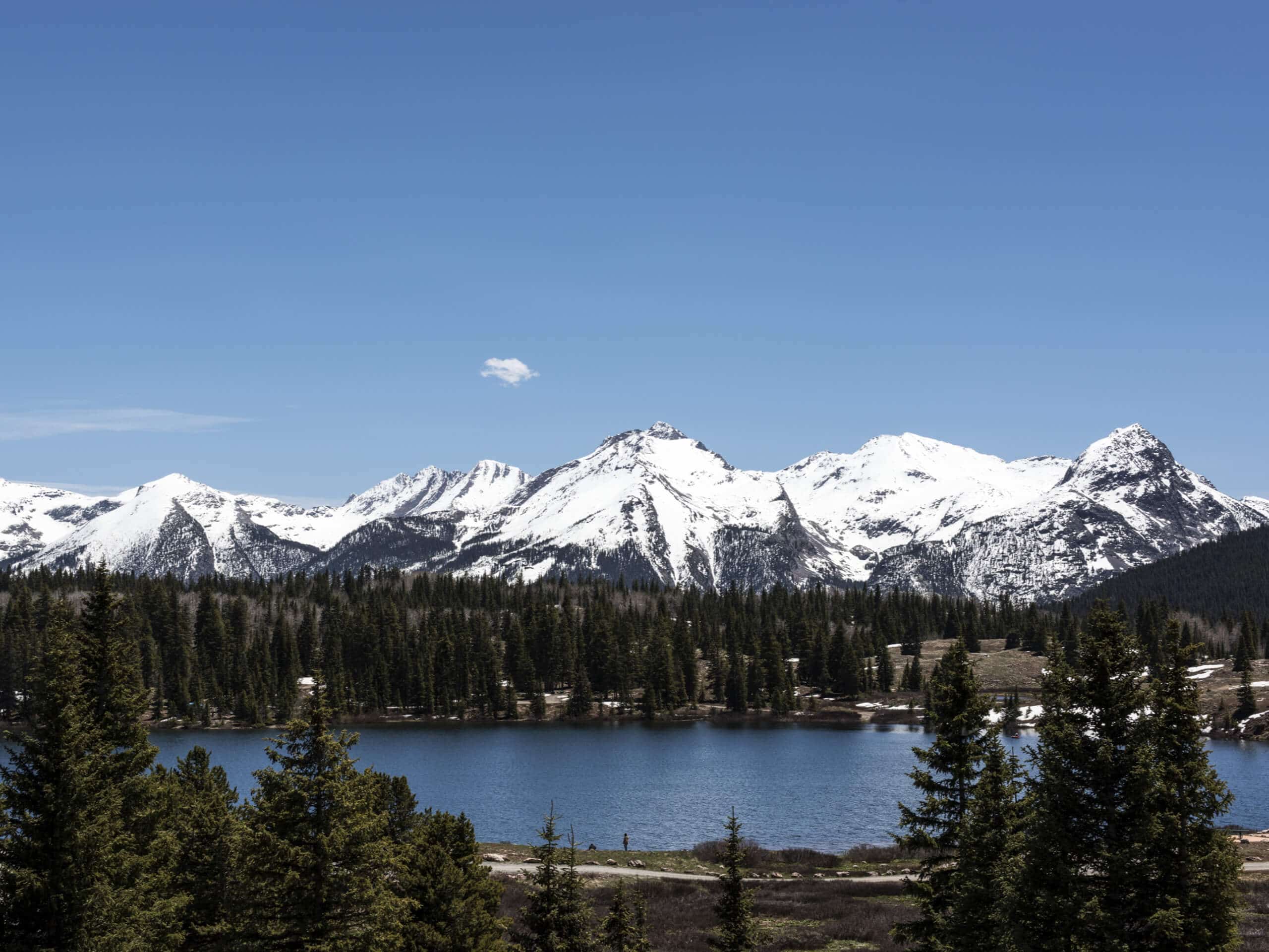
Molas Lake to Animas River Hike
Difficulty Rating:
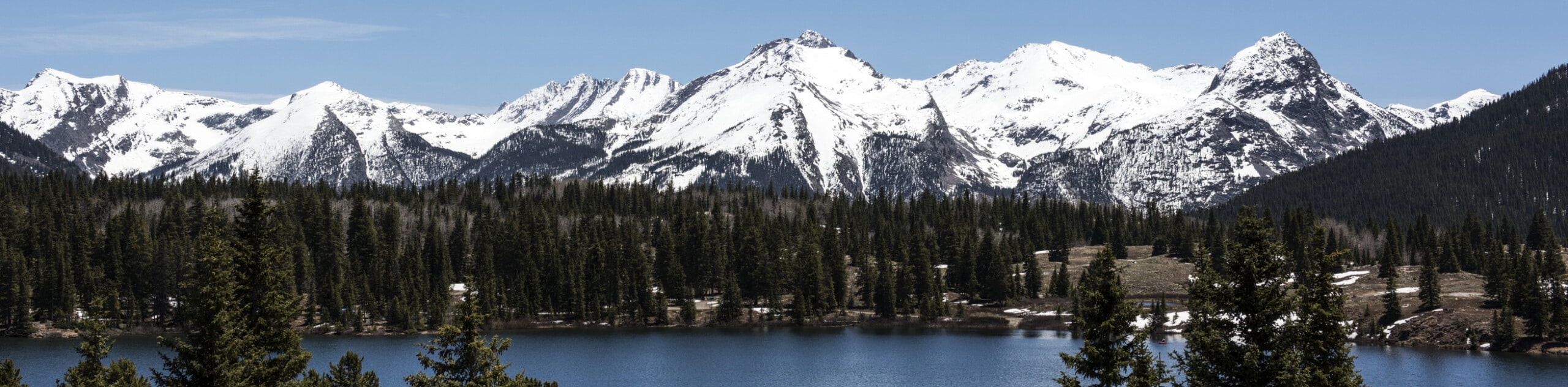
The Molas Lake to Animas River Hike is a great outdoor adventure in the San Juan Mountains that will take you through a variety of terrain with scenic mountain views. While out hiking the trail, you will make your way through meadows and forests as you descend alongside Molas Creek, eventually arriving at the peaceful banks of the Animas River. Hikers should make sure to bring bear spray and exercise all precautions along the trail, as bears are sometimes spotted in the area.
Getting there
The trailhead for the Molas Lake to Animas River Hike can be found at the parking lot off US-550, just beside Molas Lake.

About
| Backcountry Campground | Molas Lake Campground |
| When to do | May-October |
| Pets allowed | Yes |
| Family friendly | Older Children only |
| Route Signage | Average |
| Crowd Levels | Moderate |
| Route Type | Lollipop |
Molas Lake to Animas River Hike
Elevation Graph
Weather
Molas Lake to Animas River Hike Description
If you are after a fun adventure in the San Juan Mountains that offers a good amount of difficulty, a variety of terrain, and scenic views of the picturesque Colorado landscape, then the Molas Lake to Animas River Hike will be a great route for you to explore.
Setting out from the trailhead, you will head to the south across the open meadows and descend the hillside until you arrive at the banks of Molas Creek. Here, you will turn to the east and make your way further downhill along a series of switchbacks through a mixture of meadows and forest, where you will eventually come to the edge of the Animas River.
Here, you can explore the area surrounding the riverbank, cross a bridge over its rushing waters, and take in the amazing views of the surrounding landscape, before heading back along the same trail. After climbing up the steep switchbacks and working your way through the meadows and forests, you will keep right at a junction that will take you on an alternate route to the trailhead past the shores of Molas Lake.
Similar hikes to the Molas Lake to Animas River Hike hike

Twin Buttes and Lightner Creek Loop Trail
The Twin Buttes and Lightner Creek Loop Trail is a great hiking route in Durango, Colorado that features some challenging…

Meadow Loop via Horse Gulch Trail
The Meadow Loop via Horse Gulch Trail is a great hiking route in Durango that will take you uphill for…

The Ridge Trail
The Ridge Trail - also known as Raiders Ridge Trail - is an amazing hiking route in Durango, Colorado that…
Comments