Coyote Hill Loop Trail
View Photos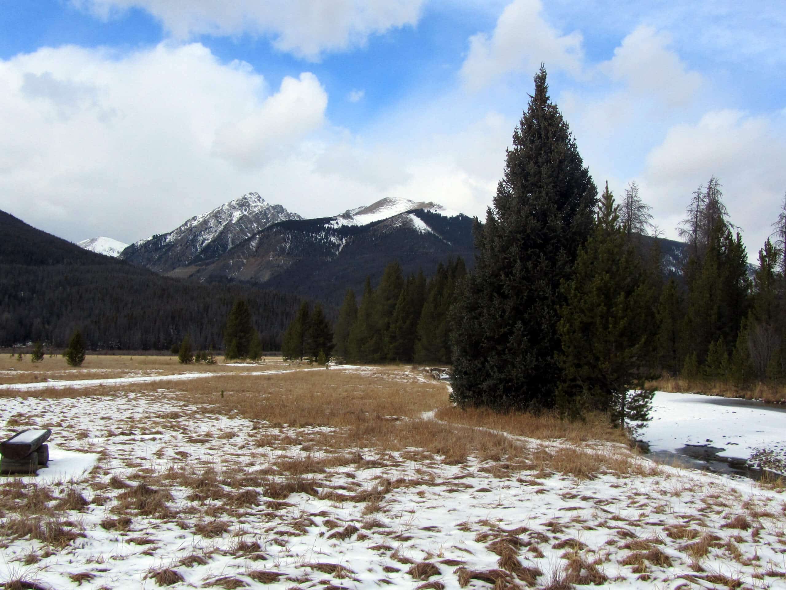
Coyote Hill Loop Trail
Difficulty Rating:
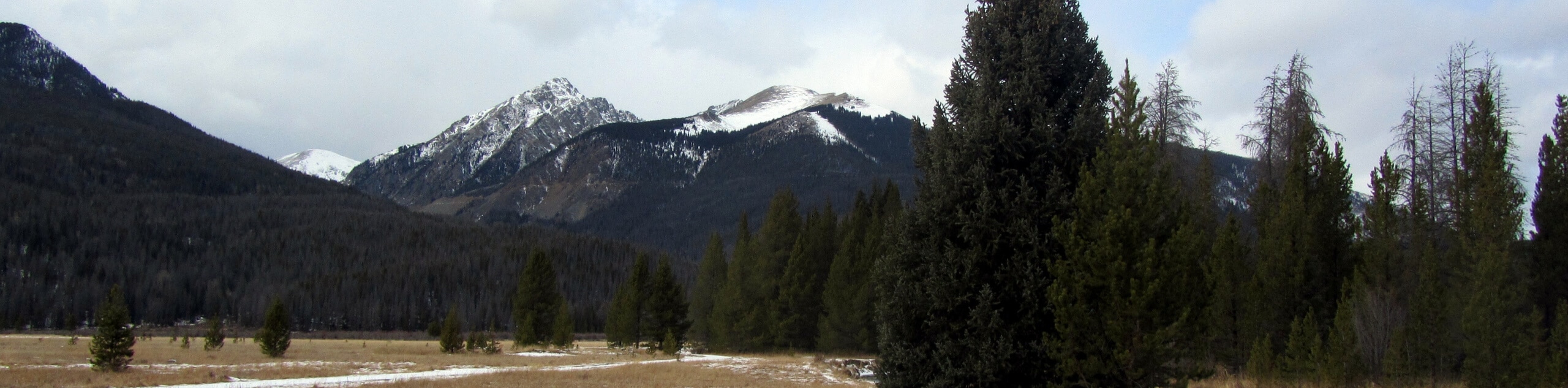
The Coyote Hill Loop Trail is an excellent walking route near Pagosa Springs, Colorado that features some lovely views and laidback terrain. While out hiking the trail, you will meander through a mixture of open meadows and lightly forested terrain, while taking in the views of the surrounding landscape. The easy-going nature of this hike and close proximity to Pagosa Springs makes it ideal for a fun family adventure on the weekend.
Getting there
The starting point for the Coyote Hill Loop Trail can be found along County Road 600, just 1.4mi northwest of Hatcher Reservoir.

About
| Backcountry Campground | No |
| When to do | Year-Round |
| Pets allowed | Yes |
| Family friendly | Yes |
| Route Signage | Average |
| Crowd Levels | Moderate |
| Route Type | Lollipop |
Coyote Hill Loop Trail
Elevation Graph
Weather
Coyote Hill Loop Trail Description
For those times when you don’t feel like setting out on a challenging journey and simply want to get outside and reconnect with nature, the Coyote Hill Loop Trail is a fantastic option. Located near Pagosa Springs, this trail is short and easy enough to complete mid-week if you just need a break from the everyday grind.
Setting out from the trailhead, you will make your way to the north along a route that traverses some open terrain with sparsely populated trees. Here, you will complete a loop that encompasses some light forest and undulating terrain, while offering some pleasant views of the surrounding landscape. After the route bends back to the southwest, you will make your way through the trees on the return leg back into the trailhead.
Similar hikes to the Coyote Hill Loop Trail hike

Twin Buttes and Lightner Creek Loop Trail
The Twin Buttes and Lightner Creek Loop Trail is a great hiking route in Durango, Colorado that features some challenging…

Meadow Loop via Horse Gulch Trail
The Meadow Loop via Horse Gulch Trail is a great hiking route in Durango that will take you uphill for…

The Ridge Trail
The Ridge Trail - also known as Raiders Ridge Trail - is an amazing hiking route in Durango, Colorado that…
Comments