Deep Creek Trail
View Photos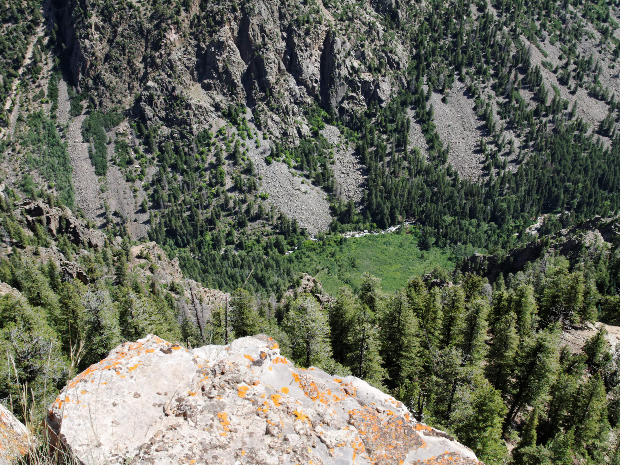
Deep Creek Trail
Difficulty Rating:
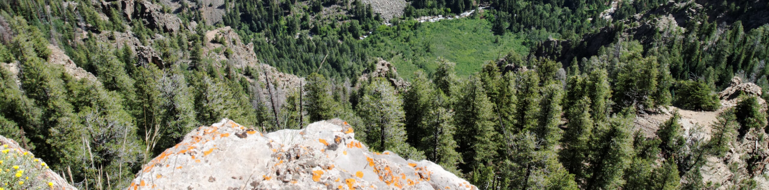
The Deep Creek Trail is an amazing hiking route near Telluride, Colorado that will take you up above the valley for views of nearby peaks. While out hiking the trail, you will climb uphill through strikingly beautiful aspen forests and alpine meadows, before taking in the views across the valley and the surrounding San Juan Mountains. Hikers should take note that this trail can become quite busy during peak hours, so be sure to arrive early to secure parking.
Getting there
The Deep Creek Trailhead can be found along Last Dollar Road, just north of the Telluride Regional Airport.

About
| Backcountry Campground | No |
| When to do | Year-Round |
| Pets allowed | Yes |
| Family friendly | No |
| Route Signage | Average |
| Crowd Levels | Moderate |
| Route Type | Out and back |
Deep Creek Trail
Elevation Graph
Weather
Deep Creek Trail Description
If you are after a lengthy, but not so difficult hiking route in the San Juan Mountains that is close to Telluride and offers some spectacular alpine scenery, then you will certainly want to experience the Deep Creek Trail.
Setting out from the trailhead, you will head to the northeast across an open field and enter into the dense cover of the forest. Here, you will climb uphill above the valley, while taking in the beautiful woodland scenery of the surrounding aspens.
As you head to the east, you will continue through a mixture of forest and charming meadows that offer an amazing view of the landscape surrounding Telluride. After reaching the endpoint of the hike, simply turn back along the same trail and follow it into the trailhead where you started.
Similar hikes to the Deep Creek Trail hike

Twin Buttes and Lightner Creek Loop Trail
The Twin Buttes and Lightner Creek Loop Trail is a great hiking route in Durango, Colorado that features some challenging…

Meadow Loop via Horse Gulch Trail
The Meadow Loop via Horse Gulch Trail is a great hiking route in Durango that will take you uphill for…

The Ridge Trail
The Ridge Trail - also known as Raiders Ridge Trail - is an amazing hiking route in Durango, Colorado that…
Comments