
Silver Falls Hike
View Photos
Silver Falls Hike
Difficulty Rating:
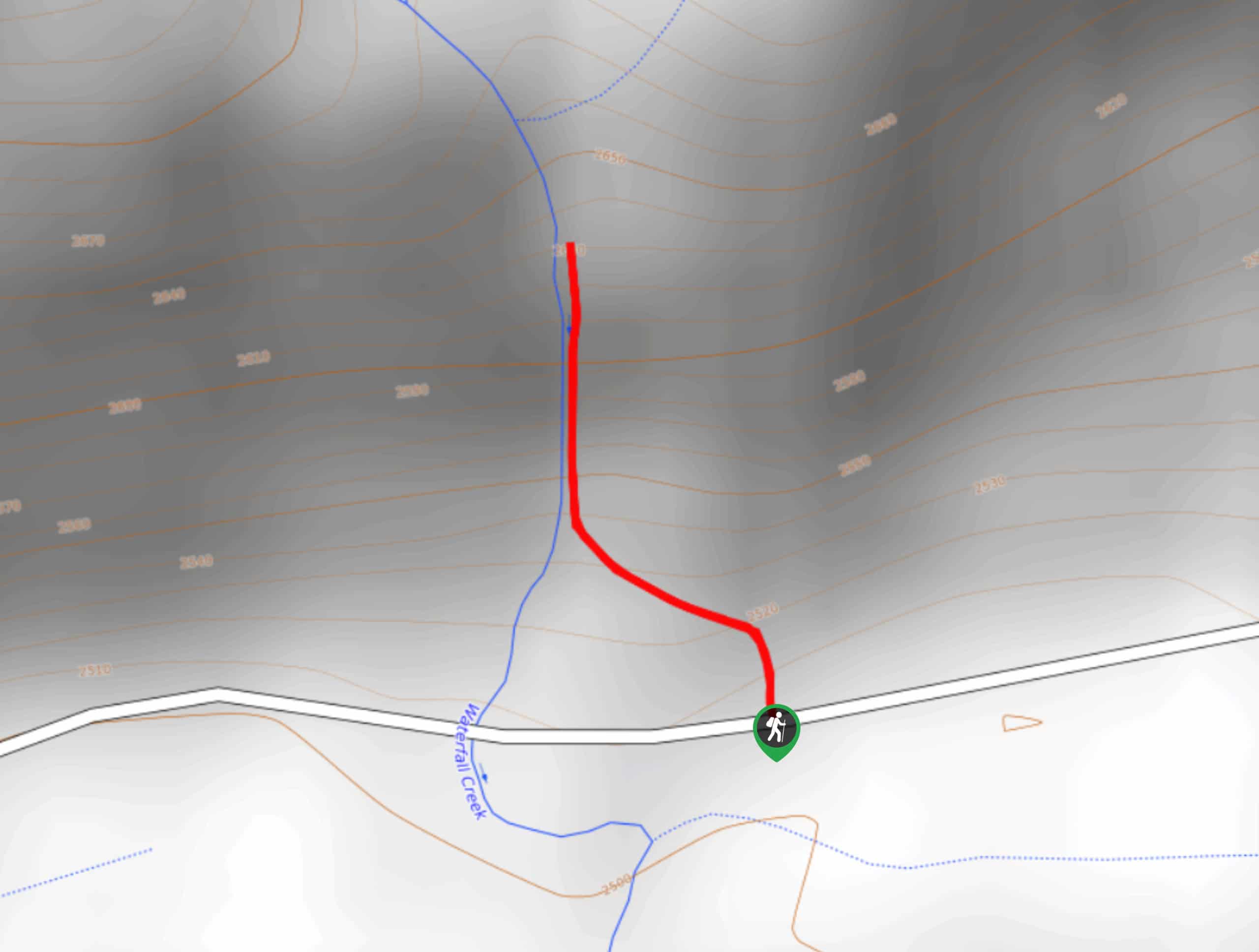
The Silver Falls Hike is an amazingly scenic route in the San Juan Mountains of Colorado that will take you uphill to visit a cascading waterfall. While out hiking the trail, you will work your way uphill through the forest alongside Waterfall Creek, before arriving at the majestic viewpoint of Silver Falls. The road leading into the trailhead is fairly rough and will require a high clearance 4x4 vehicle to safely traverse.
Getting there
The trailhead for the Silver Falls Hike can be found along County Road 667, 7.9mi east of the junction with US-160.

About
| Backcountry Campground | No |
| When to do | May-October |
| Pets allowed | Yes - On Leash |
| Family friendly | Yes |
| Route Signage | Average |
| Crowd Levels | Moderate |
| Route Type | Out and back |
Silver Falls Hike
Elevation Graph
Weather
Silver Falls Hike Description
The road to the Silver Falls Hike is a very rough one, but you shouldn’t let that keep you from experiencing this extremely short but wonderfully scenic route. If you enjoy stunning waterfalls set in the picturesque Colorado landscape, then you will certainly enjoy this hike.
Setting out from the trailhead at the edge of the road, you will make your way to the north and enter into the cover of the forest. Here, you will follow the path uphill alongside the banks of Waterfall Creek, listening to the sound of the crashing water grow louder as you approach the falls. Once there, you will have an incredible view of the water as it cascades down the rock face. After taking in the views, simply head back along the short trail to return to the trailhead.
Similar hikes to the Silver Falls Hike hike

Twin Buttes and Lightner Creek Loop Trail
The Twin Buttes and Lightner Creek Loop Trail is a great hiking route in Durango, Colorado that features some challenging…

Meadow Loop via Horse Gulch Trail
The Meadow Loop via Horse Gulch Trail is a great hiking route in Durango that will take you uphill for…
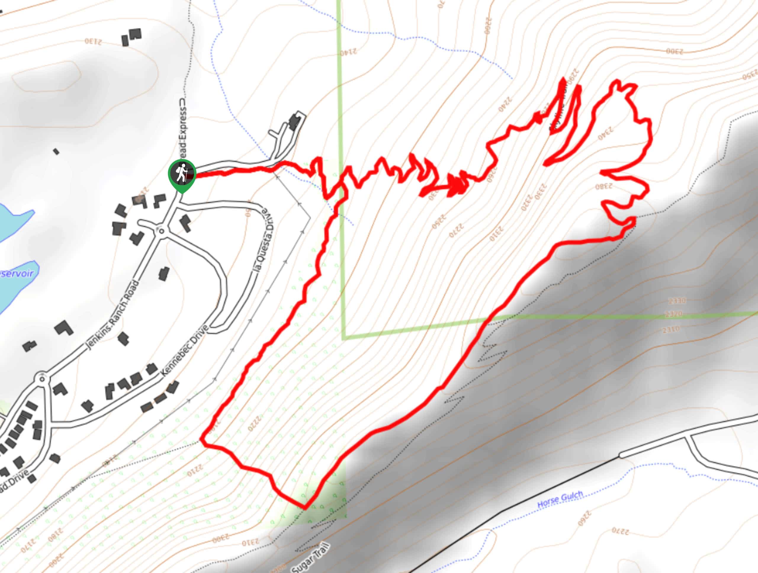
Skyline Trail from Jenkins Ranch Road
Hiking the Skyline Trail from Jenkins Ranch Road is a great outdoor experience in Durango, Colorado that offers scenic views…
Comments