Piedra Falls Trail
View Photos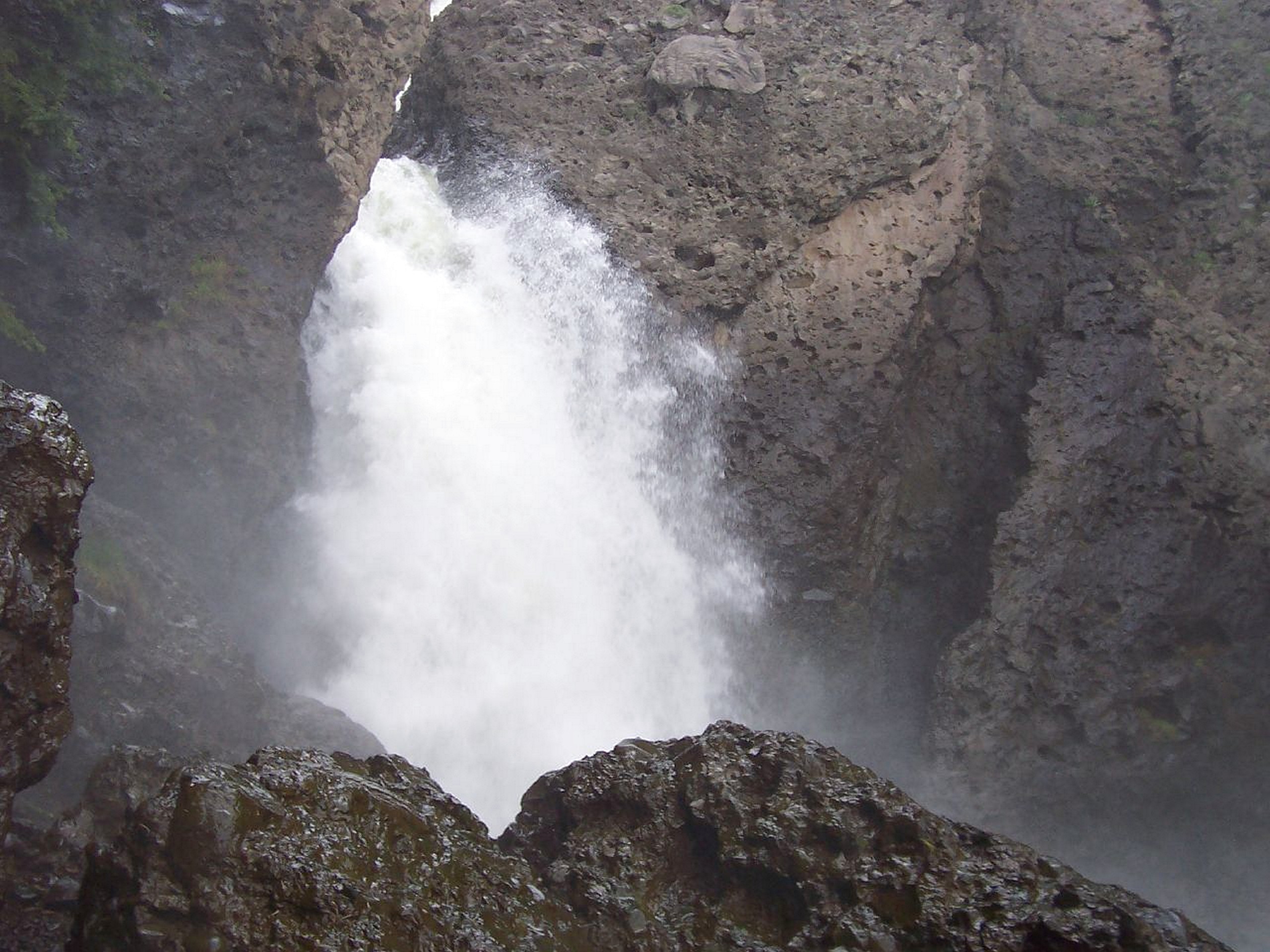
Piedra Falls Trail
Difficulty Rating:
The Piedra Falls Trail is a quick and easy adventure in the San Juan Mountains of Colorado that will take you to a stunning waterfall setting. While out hiking the trail, you will follow along the banks of the East Fork Piedra River and pass through some woodland terrain, before arriving at the sight of the cascading Piedra Falls. This is a fantastic trail that the entire family can enjoy on a fun weekend outing!
Getting there
The starting point for the Piedra Falls Trail can be found at the Piedra Falls Trailhead along County Road 637, just 29.2mi north of Pagosa Springs.

About
| Backcountry Campground | No |
| When to do | May-November |
| Pets allowed | Not allowed June 1-Sept15 |
| Family friendly | Yes |
| Route Signage | Average |
| Crowd Levels | High |
| Route Type | Out and back |
Piedra Falls Trail
Elevation Graph
Weather
Piedra Falls Trail Description
Although the Piedra Falls Trail is a short and fairly easy adventure, there are some rocky sections along the route where you will need to watch your footing. Additionally, this is one of the more popular tourist destinations in the Pagosa Springs area, so make sure to arrive early enough to secure parking at the trailhead.
While there is no doubt that there will be plenty of other hikers along the trail, visiting Piedra Falls is a fantastic outdoor experience that will still enable you to reconnect with nature and take in some beautiful views. The quick nature of the route makes this an ideal hike for families looking to get outside for an afternoon adventure in the wilderness of Colorado.
Setting out from the Piedra Falls Trailhead, you will make your way to the northeast through some light tree cover to arrive at the banks of the Piedra River. Here, you will climb slightly uphill along the water’s edge, passing through a more dense stretch of forest on the approach to the falls.
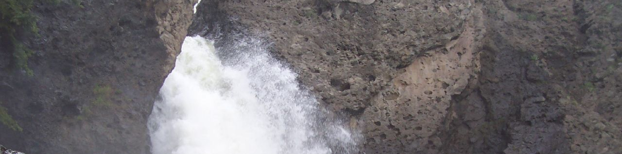
As you near the cascading water of Piedra Falls, the terrain will become more rocky and rugged, so be sure to watch your footing. Eventually, you will arrive at the misty edge of the falls and take in the natural beauty of the water crashing into the pool below.
After exploring the area and taking in the impressive view of Piedra Falls, simply make your way back across the rocky landscape and through the forest on the return into the parking area where you began your adventure along the Piedra Falls Trail.
Trail Highlights
Piedra Falls
One of the more popular tourist sites and one of four waterfalls located near Pagosa Springs, Piedra Falls is a cascading waterfall that thunders down through a v-shaped canyon. Due to a strong waterflow, the falls are a popular place to visit and swim on a hot day.
Frequently Asked Questions
Can you swim at Piedra Falls?
The strong water flow and pool beneath the waterfall makes Piedra Falls a great place for recreational swimming, as long as you arrive early enough to beat the crowds!
Can I bring my dog to Piedra Falls?
Dogs are permitted along the Piedra Falls Trail, provided that they are on a leash.
Insider Hints
Arrive early to avoid the crowds.
Bring water shoes if you want to explore the area around the falls.
Wear proper hiking footwear, as parts of the trail are fairly rocky.
Similar hikes to the Piedra Falls Trail hike

Twin Buttes and Lightner Creek Loop Trail
The Twin Buttes and Lightner Creek Loop Trail is a great hiking route in Durango, Colorado that features some challenging…

Meadow Loop via Horse Gulch Trail
The Meadow Loop via Horse Gulch Trail is a great hiking route in Durango that will take you uphill for…
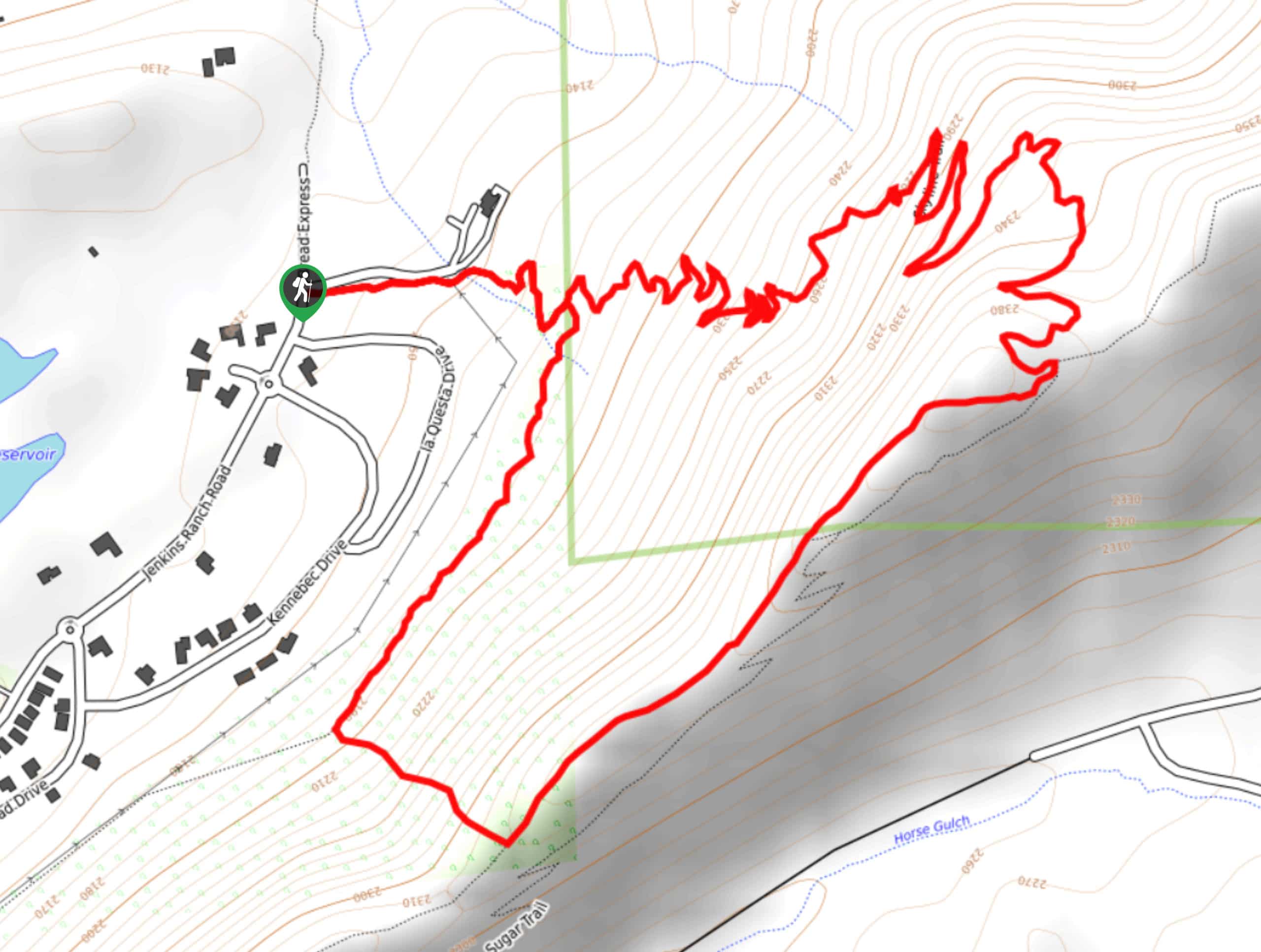
Skyline Trail from Jenkins Ranch Road
Hiking the Skyline Trail from Jenkins Ranch Road is a great outdoor experience in Durango, Colorado that offers scenic views…
Comments