Wetterhorn Peak Hike
View Photos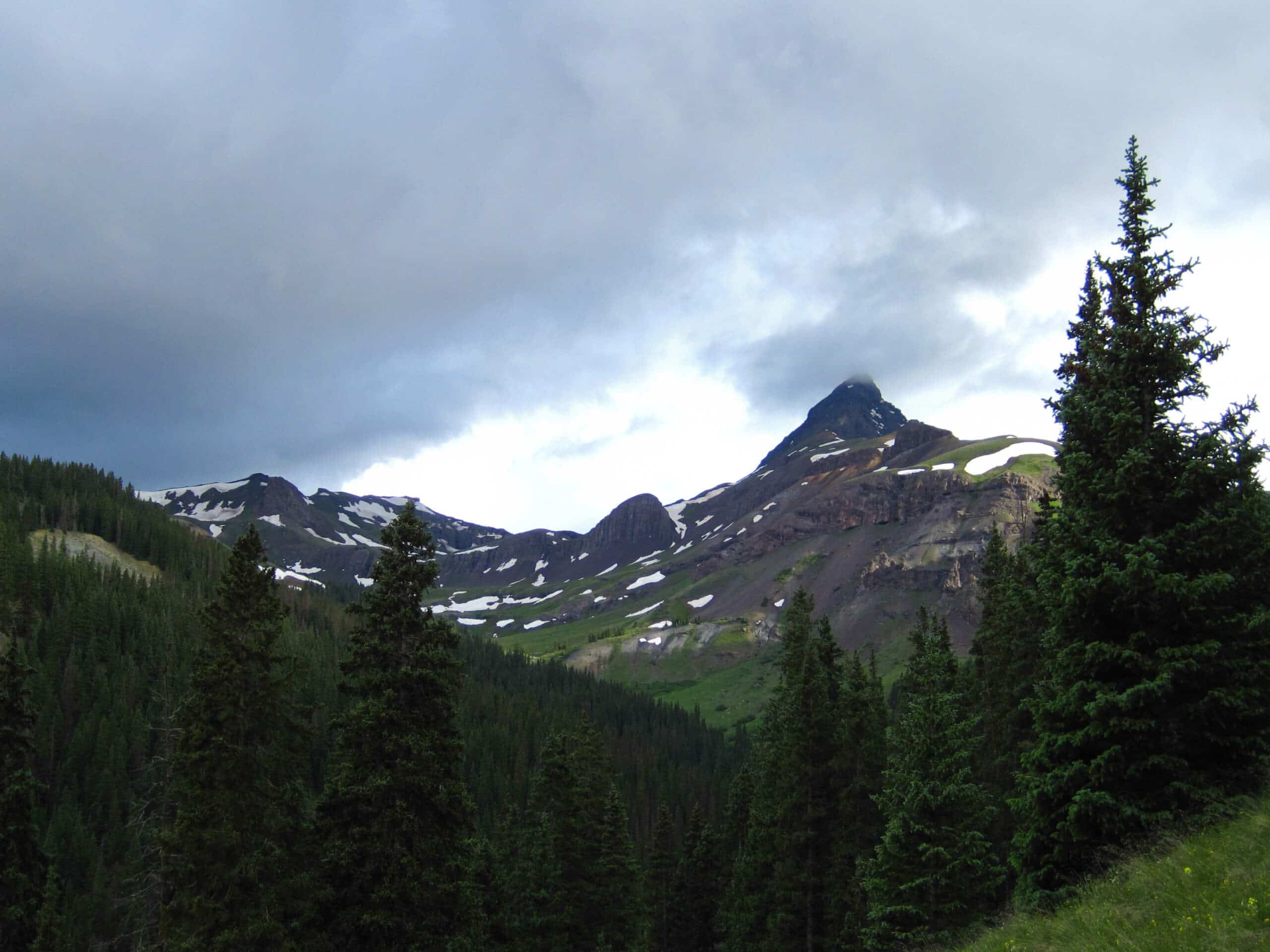
Wetterhorn Peak Hike
Difficulty Rating:
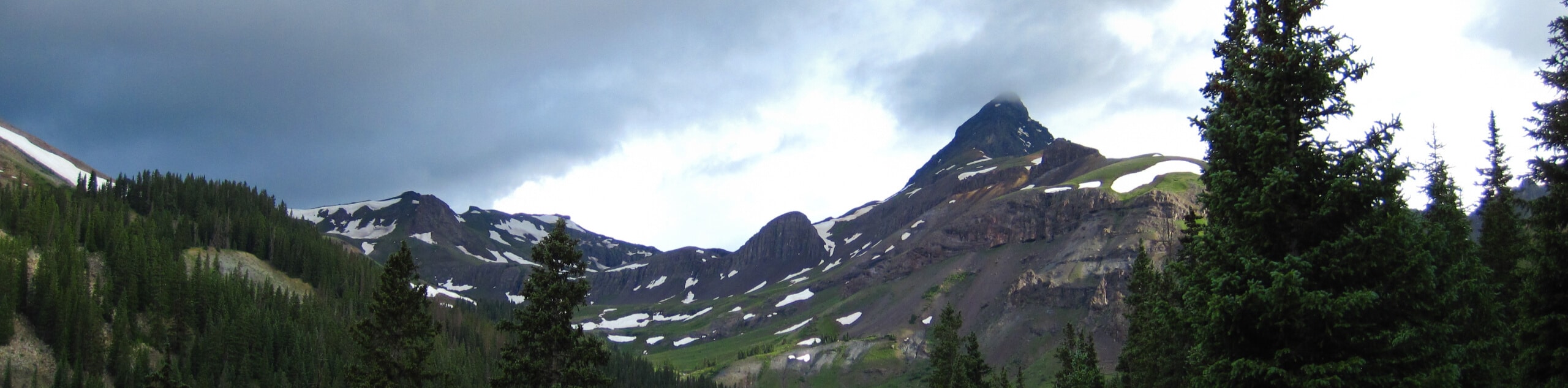
The Wetterhorn Peak Hike is an extremely challenging, but beautifully scenic, adventure in the San Juan Mountains of Colorado that should only be undertaken by experienced climbers. While out on the trail, you will work your way uphill alongside Matterhorn Creek and climb through an alpine basin, before completing a difficult and exposed class the ascent of the summit. This is a physically demanding route, but the breathtaking views from the summit are sure to be a memory that will last forever.
Getting there
The trailhead for the Wetterhorn Peak Hike can be found at the Matterhorn Creek Trailhead along Forest Service Road 233.

About
| Backcountry Campground | No |
| When to do | June-September |
| Pets allowed | No |
| Family friendly | No |
| Route Signage | Average |
| Crowd Levels | Moderate |
| Route Type | Out and back |
Wetterhorn Peak Hike
Elevation Graph
Weather
Wetterhorn Peak Hike Description
The rugged and rocky ascent of Wetterhorn Peak is classified as a class 3 climb, and should only be undertaken by those with plenty of experience. Be sure to bring any necessary gear and supplies, making sure to check the weather before setting out on your adventure. In addition to the challenging trail, the road leading into the trailhead is also very rugged, requiring a 4×4 high clearance vehicle to safely traverse.
While it may be a hard route to access and an even more challenging route to climb, the Wetterhorn Peak Hike is an amazing experience that will allow you to take in the breathtaking beauty of the San Juan Mountains. If you are keen on climbing a rugged fourteener and have the right level of experience, then you will be hard pressed to find a better route in the area.
Setting out from the trailhead, you will make your way to the north alongside the banks of Matterhorn Creek as it passes through some light forest terrain. After 0.6mi, turn right at the junction and climb further uphill for a short distance, before making a left at the following junction.
Here, you will continue on to the north through a mixture of charming meadows and serene forests, before coming to another fork in the path. Head left here along the Wetterhorn Peak Trail in order to begin the climb uphill through the alpine basin just below the summit of Wetterhorn Peak to the northwest.
As you work your way uphill through the basin to the northwest, the trail will bend to the southwest and meet up with the climbers route to the summit after 1.2mi. Here, you will head right and make your way to the northwest for the steep and exposed route to the summit. This portion of the trail is a very challenging class 3 climb, so do not attempt it if you lack the experience.
Pushing on through the rocky and rugged terrain to the northwest, you will arrive at the summit of Wetterhorn Peak after 0.5mi and enjoy sweeping views of the surrounding landscape, including Matterhorn Peak nearby to the northeast. After revelling in the breathtaking alpine views, carefully descend the mountainside along the same trail to return to the trailhead where you started your day along the Wetterhorn Peak Hike.
Trail Highlights
Wetterhorn Peak
Along with the nearby Matterhorn Peak, Wetterhorn Peak is a rugged summit in the San Juan Mountains of Colorado that is actually named after the famous mountain in the Swiss Alps. At 14022ft Wetterhorn Peak is the 50th tallest fourteener in the state of Colorado.
Frequently Asked Questions
How difficult is Wetterhorn Peak?
Climbing Wetterhorn Peak is a challenging adventure that is graded as a class 3 climb.
Hope tall is Wetterhorn Peak?
Wetterhorn Peak in Colorado stands at a height of 14022ft.
Insider Hints
Be sure to wear proper hiking footwear.
The final ascent to the summit is quite exposed and is only recommended for very experienced hikers.
You will need a 4x4 high clearance vehicle to access the trailhead.
Similar hikes to the Wetterhorn Peak Hike hike

Twin Buttes and Lightner Creek Loop Trail
The Twin Buttes and Lightner Creek Loop Trail is a great hiking route in Durango, Colorado that features some challenging…

Meadow Loop via Horse Gulch Trail
The Meadow Loop via Horse Gulch Trail is a great hiking route in Durango that will take you uphill for…

The Ridge Trail
The Ridge Trail - also known as Raiders Ridge Trail - is an amazing hiking route in Durango, Colorado that…
Comments