Hermosa Creek Trail
View Photos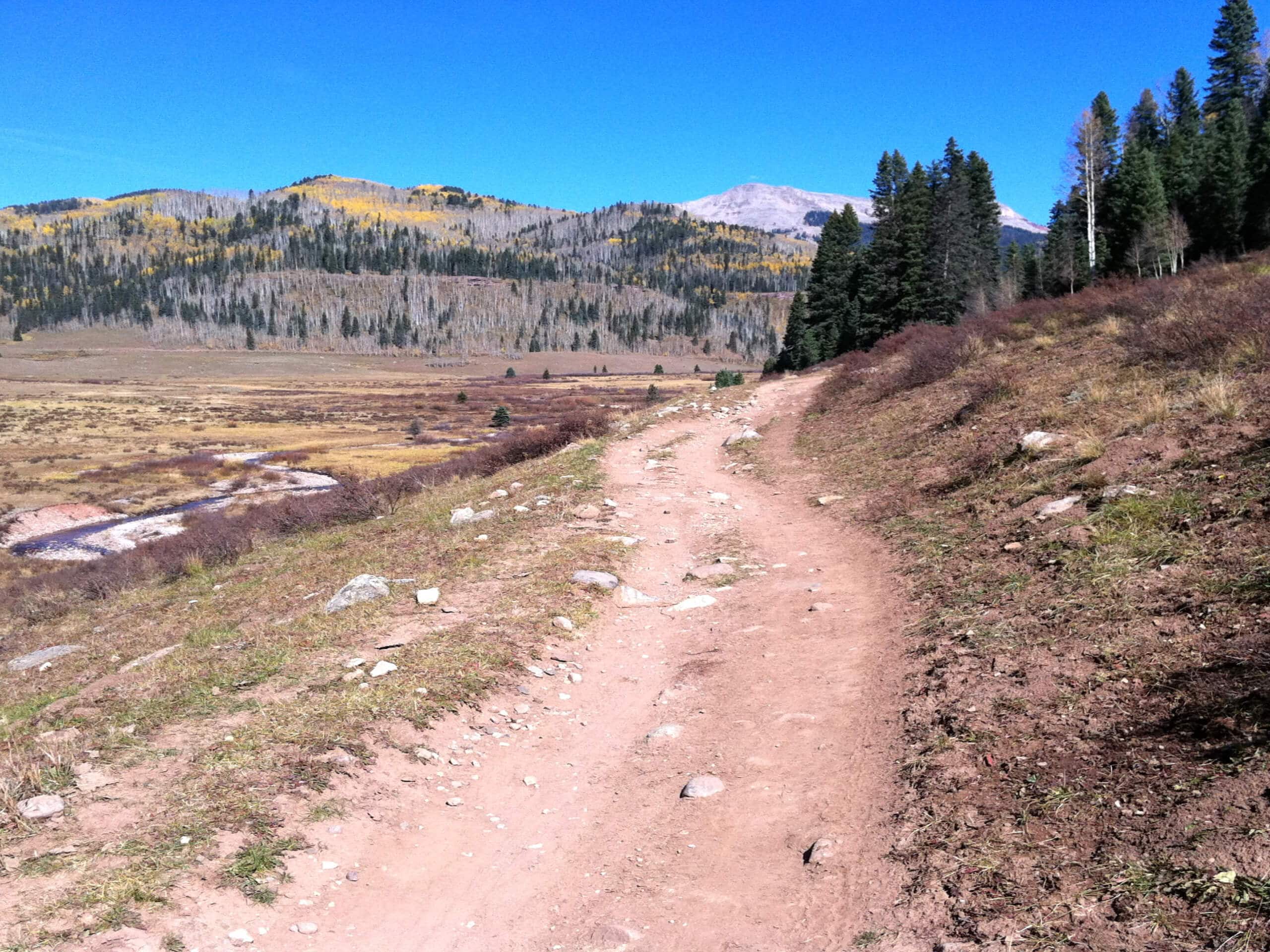
Hermosa Creek Trail
Difficulty Rating:
The Hermosa Creek Trail is a long-distance hiking route in the San Juan Mountains of Colorado that will take you along the winding banks of a forested creek. While out hiking the trail, you will follow along Hermosa Creek as it flows through a forested gulch, offering plenty of time to take in the natural beauty surrounding you. Hikers should take note that this is a one-way trail, so be sure to make arrangements for a pick up at the end point of the hike, or else you will need to backtrack the full 18.4mi.
Getting there
The Hermosa Creek Trailhead can be found at the junction between Hermosa Park Road and Forest Service Road 577.

About
| Backcountry Campground | Lower Hermosa Campground |
| When to do | June-October |
| Pets allowed | Yes |
| Family friendly | Older Children only |
| Route Signage | Average |
| Crowd Levels | Moderate |
| Route Type | One Way |
Hermosa Creek Trail
Elevation Graph
Weather
Hermosa Creek Trail Description
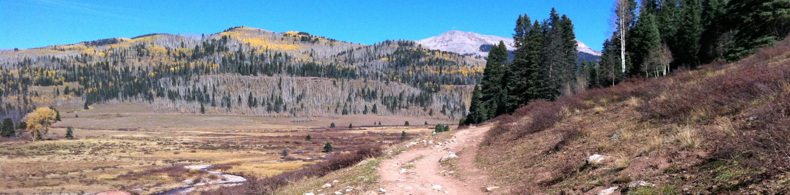
For those outdoor enthusiasts who enjoy lengthy adventures through the backcountry, the Hermosa Creek Trail will be a fantastic route in the San Juan Mountains to try out. Terrain here is easy enough to complete as a very long single-day hike, although many people will break it up into a multi-day backpacking excursion.
Setting out from the trailhead, you will make your way to the southwest across the open terrain and skirt along the edge of the forest to your left. Here, the route will turn more to the south, as you meet up with the banks of Hermosa Creek and follow it into the gulch.
For the remainder of the hike, you will keep to the banks of the creek as it cuts through the woodland landscape and offers plenty of opportunities to enjoy the natural beauty of your surroundings. Eventually, you will meet up with Forest Service Road 576, which you can follow for a short distance to reach the end point of the hike at the Lower Hermosa Campground.
Similar hikes to the Hermosa Creek Trail hike

Twin Buttes and Lightner Creek Loop Trail
The Twin Buttes and Lightner Creek Loop Trail is a great hiking route in Durango, Colorado that features some challenging…

Meadow Loop via Horse Gulch Trail
The Meadow Loop via Horse Gulch Trail is a great hiking route in Durango that will take you uphill for…

The Ridge Trail
The Ridge Trail - also known as Raiders Ridge Trail - is an amazing hiking route in Durango, Colorado that…
Comments