Boggy Draw Trail
View Photos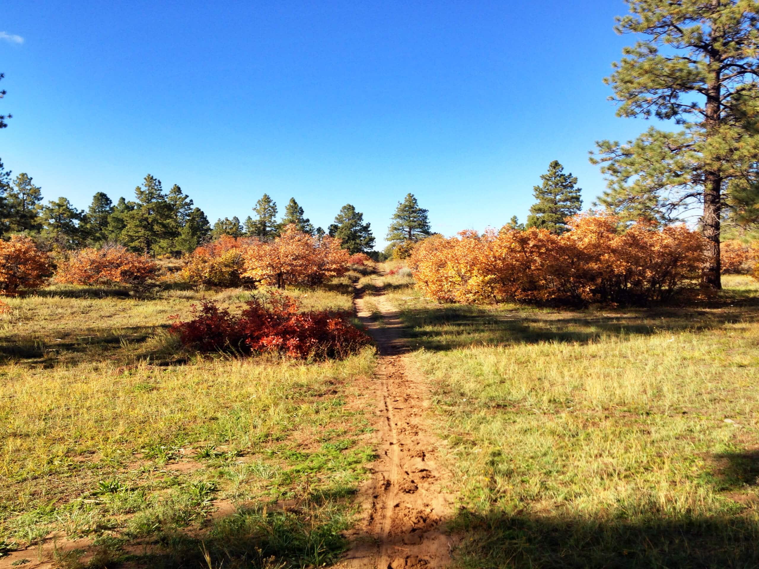
Boggy Draw Trail
Difficulty Rating:
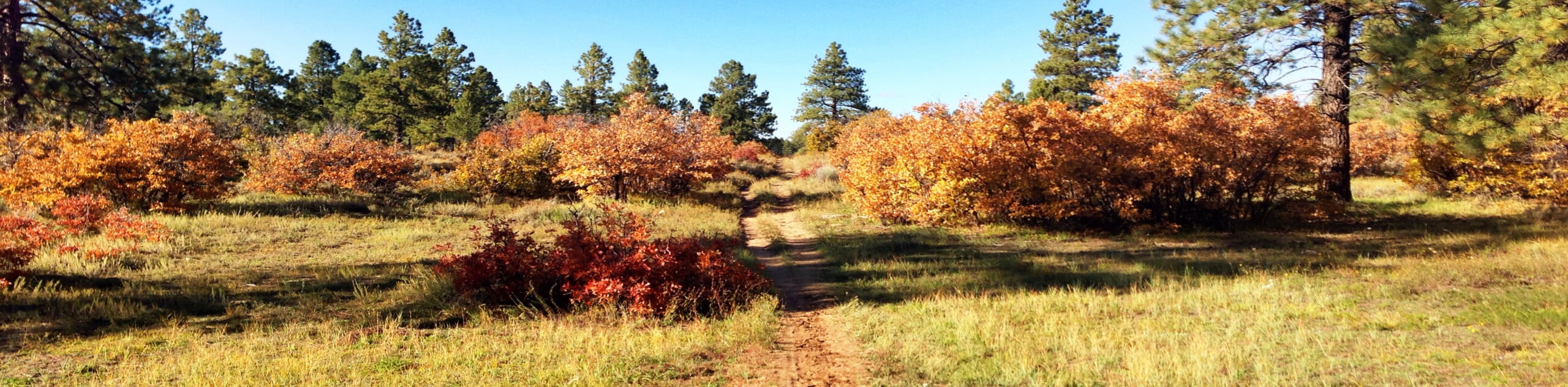
Hiking the Boggy Draw Trail is a laid back experience in Colorado that will take you through some beautifully scenic stretches of woodland terrain. While out on the trail, you will pass through forests and meadows that will be filled with beautiful wildflowers during the summer months, before traversing a few rocky and sandy sections that aren’t overly technical. This is a great route if you are a beginner hiker that is looking for a bit of a longer trail.
Getting there
The Boggy Draw Trailhead can be found along Boggy Draw Road, just 3.3mi northwest of Dolores, Colorado.

About
| Backcountry Campground | No |
| When to do | Year-Round |
| Pets allowed | Yes |
| Family friendly | Older Children only |
| Route Signage | Average |
| Crowd Levels | Moderate |
| Route Type | Circuit |
Boggy Draw Trail
Elevation Graph
Weather
Boggy Draw Trail Description
Whether you have been searching for a relatively flat route for trail running or simply want to meander through a beautifully scenic stretch of forest, the Boggy Draw Trail is an excellent hiking route that will be sure to meet your needs.
Setting out from the trailhead, you will follow the road to the northeast for a short stretch, before entering into the cover of the forest. Here, you will pass by countless trees and follow the route as it bends to the north to traverse a few patches of sandy/rocky terrain. Eventually, the route will turn back to the southwest and continue through the tree cover, crossing over a powerline clearing to arrive back at the trailhead where you began.
Similar hikes to the Boggy Draw Trail hike

Twin Buttes and Lightner Creek Loop Trail
The Twin Buttes and Lightner Creek Loop Trail is a great hiking route in Durango, Colorado that features some challenging…

Meadow Loop via Horse Gulch Trail
The Meadow Loop via Horse Gulch Trail is a great hiking route in Durango that will take you uphill for…

The Ridge Trail
The Ridge Trail - also known as Raiders Ridge Trail - is an amazing hiking route in Durango, Colorado that…
Comments