hikes in David Thompson Country
David Thompson Country Hikes
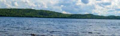
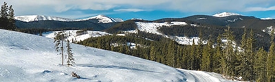
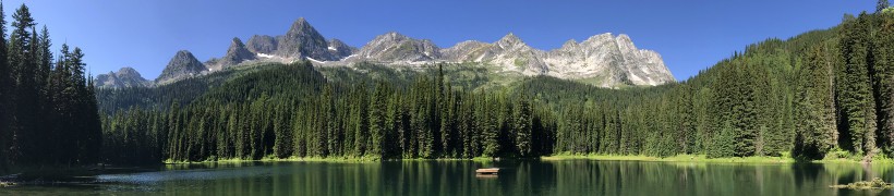
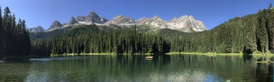
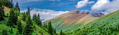
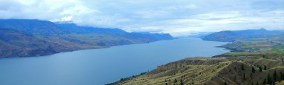
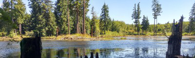
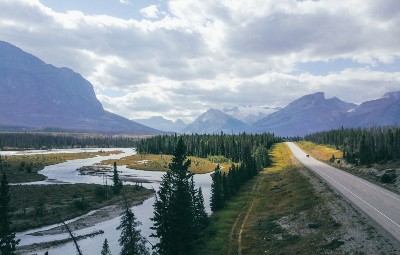
David Thompson Country hikes are a wonderful experience that showcase some of the most beautiful landscapes that Alberta has to offer. If you’ve ever travelled across scenic Highway 11, you’ve discovered the beauty that is the David Thompson Highway. Inspired by David Thompson himself, who once mapped and explored Canada from the Pacific to the Great Lakes, the highway makes for an incredible road trip, offering plenty of secret, azure lakes and fantastic hiking in the foothills of the surrounding mountains. If you are after an unforgettable adventure in Alberta, be sure to check out some of these fantastic David Thompson Country hikes.
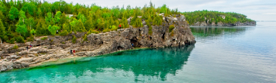
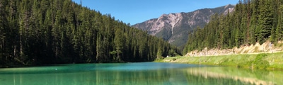
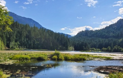
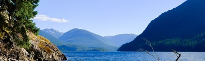
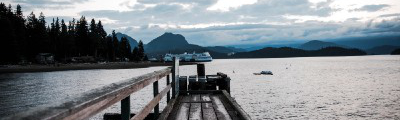
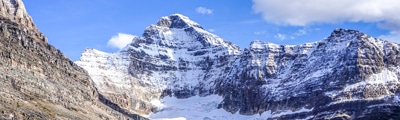
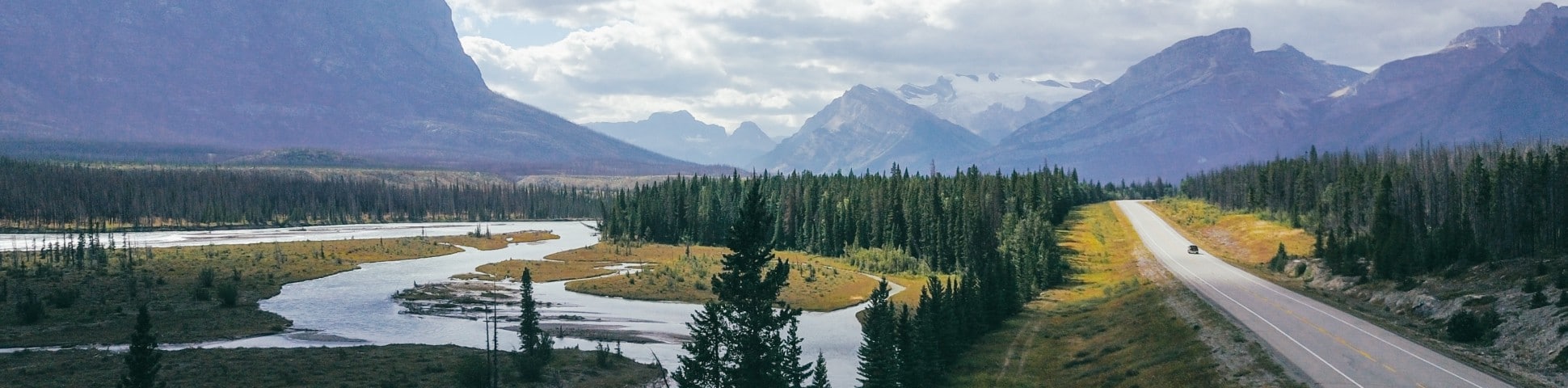
Winding all the way to the Jasper-Banff highway, David Thompson Country provides the opportunity to explore over 20 provincial and recreational parks primed for unforgettable outdoor adventures. Enjoy fresh mountain air while hiking to the peaks of the Rocky Mountains, with trail options for beginners to mountaineers. For a slower pace after hiking, spend the afternoon sunbathing on a sheltered beach at Crimson Lake or cast a line from the dock of Fish Lake.
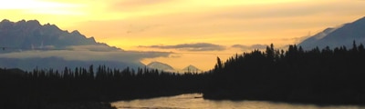
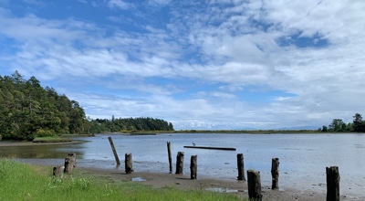
The area remains relatively unexplored, meaning outdoor enthusiasts can experience nature in a similar way that David Thompson once did— untouched and pristine. A camping road trip is still the best way to explore the area and the surrounding David Thompson Country hikes, making for a perfect family-friendly adventure. Whether you camp in an RV or under the stars, be sure to enjoy the nature talk and walk at Crimson Lake Provincial Park or enjoy the fantastic bird watching opportunities at Thompson Creek Provincial Recreational Area. And for an unforgettable educational experience, stop by the Rocky Mountain House National Historic Site to learn about Alberta’s coal mining history and to hike along the North Saskatchewan River in the footsteps of David Thompson himself.
The 6 Great Hikes in David Thompson
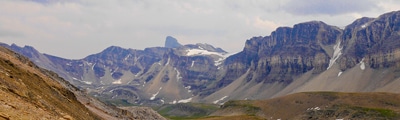
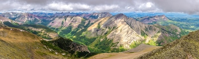
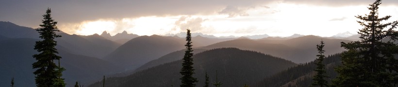
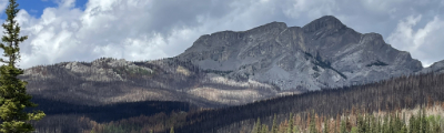
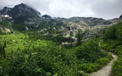
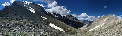
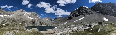
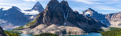
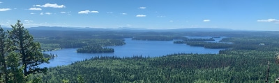
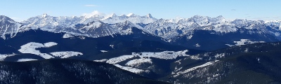
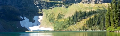
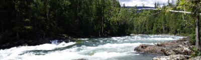
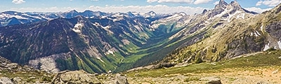
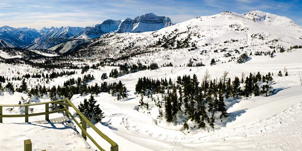
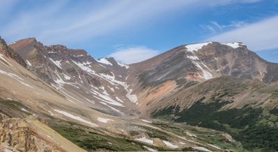
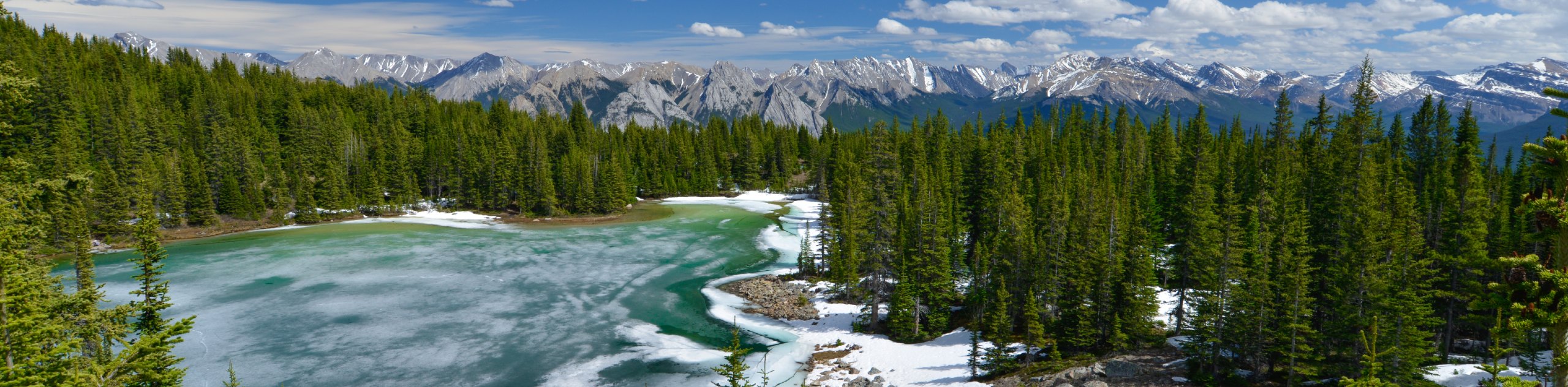
Hiking in the David Thompson area is like stepping back in time to enjoy untouched nature. Hikers will be rewarded with unobstructed panoramic views of the Rocky Mountains to be enjoyed all to themselves, as hikers come few and far between out in the wilderness.
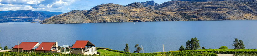
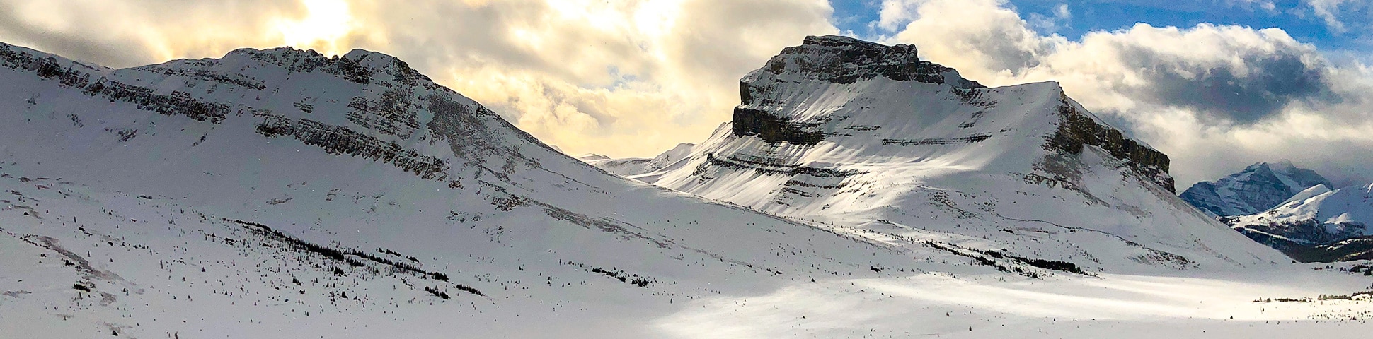
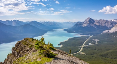
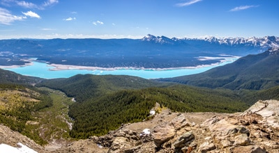
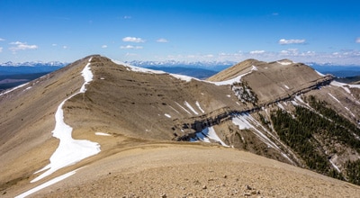
For a challenging hike, set out on the Vision Quest Ridge, where hikers are rewarded with incredible wildflowers during the summer season and stunning views over Abraham Lake at the summit. Those in search of a slightly easier adventure should visit Coliseum Mountain. This trail is quite popular all year-round, with fun switchbacks and ridge walks on the way to the top overlooking Nordegg Village and the Rocky Mountains. No matter what your skill level is, there are plenty of David Thompson Country hikes that will meet your needs.
- Tuff Puff Ridge Hike: Tuff Puff Ridge hiking trail is a beautiful long route surrounded by the
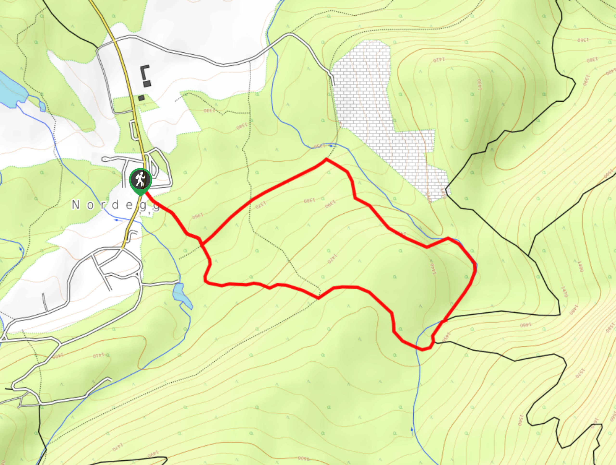
wildflowers in the Canadian Rockies that starts from David Thompson Highway. - Coliseum Mountain Hike: Coliseum Mountain hike near David Thompson Highway is a great day trip. This trail leads to the top of Coliseum Mountain and rewards with views of Nordegg.
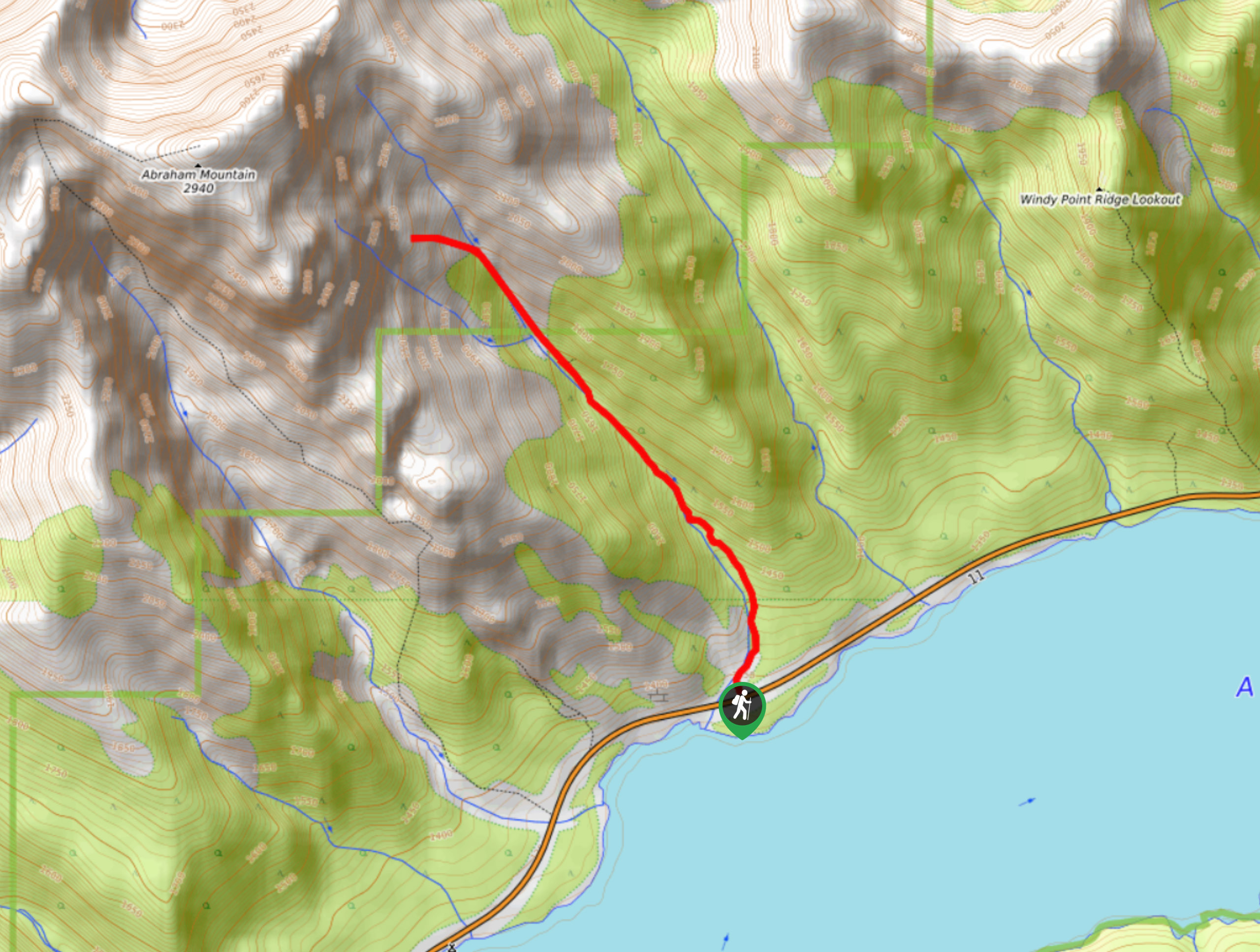
- Vision Quest Ridge Trail: Vision Quest Ridge trail near David Thompson Hwy is a short, challenging hike. This trail leads to the Vision Quest Ridge and has views of Abraham Lake.
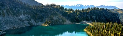
- Allstones Ridge and Lake Hike: Allstones Ridge and Lake, near David Thompson Hwy, is a trail in Alberta. The trail leads to the lake along the ridge with an extension to reach the top.
- Shunda Mountain (Baldy Lookout) Hike: Shunda Mountain hike near Nordegg is a great trail leading to the Baldy Lookout with a beautiful overlook of the surrounding mountains and lowlands of Alberta.
- Ram Mountain: Set off on this stunning hiking trail near Nordegg, following the remote trail for a steep incline up to the Ram Mountain Fire Overlook for unforgettable sights.
When Is The Best Time To Hike in David Thompson
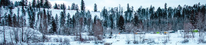
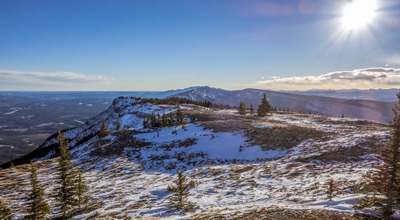
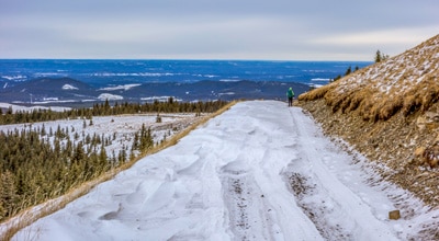
Perhaps the best part of hiking in the David Thompson area is that most of the trails are accessible all year round. While not all trails are winter maintained, they are often frequented by other hikers, so the trails remain clear even when snow is on the ground.
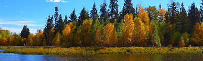
Though, perhaps the most beautiful time of year to hike in David Thompson Country is during the fall season. Set out on the trails for incredible views overlooking the surrounding area in full foliage colour. Shades of red, yellow and orange will dazzle across the treeline. In the spring, you’ll also find quieter trails and beautiful meadows in full bloom.
How To Plan A Trip To David Thompson
Want to hit the trails in David Thompson, but not sure where to start? Here at 10Adventures, we’re all about making exploring out in nature as easy and possible. That’s why we’ve created a complete guide to planning a trip to David Thompson. Find our recommendations for where to eat, sleep and play—while getting to explore the best of the great outdoors. Pack your bag, we’ll see you there!
Frequently-Asked-Questions About David Thompson
Where is David Thompson Country located?
David Thompson Country is tucked away in West Central Alberta, just slightly north of Calgary. It is considered part of the Rocky Mountain district, but the area remains relatively unknown and offers amazing outdoor adventures far from the crowds.
What’s the main attraction in David Thompson?
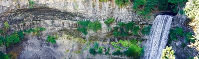
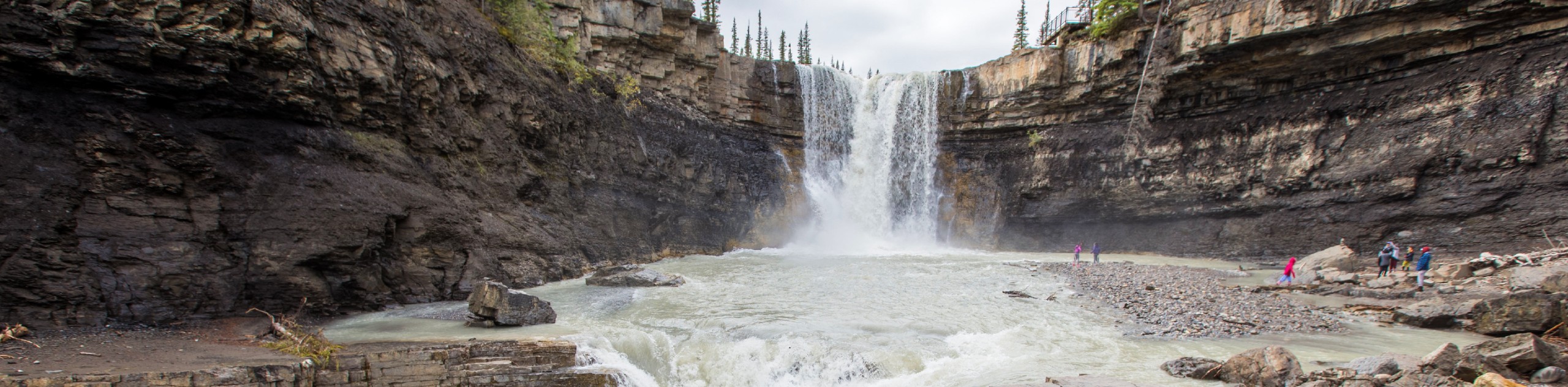
Well the trails are an absolute highlight, most locals would consider Crescent Falls the highlight of David Thompson. The Crescent Falls is an incredible waterfall that tumbles nearly 30 meters over two ledges and offers amazing views overlooking Bighorn River Valley. There is a 5.6 km loop if you’d like to hike out to a second lookout spot.
Download the 10Adventures App
If you want to explore the natural beauty of David Thompson Country on your own, the 10Adventures trail app is a great tool to have. Download the 10Adventures app to safely navigate the trails offline while out on your next adventure.
Read MoreThe best hikes in David Thompson Country
01. Tuff Puff Ridge Hike
Difficulty
Tuff Puff Ridge is a beautiful trail near David Thompson Highway that attracts a lot… Read More
02. Coliseum Mountain Hike
Difficulty
The trail to the top of Coliseum Mountain is one of the most popular hikes… Read More
03. Vision Quest Ridge Trail
Difficulty
The Vision Quest Ridge hike near David Thompson Hwy is a short challenging hike. The… Read More
04. Allstones Ridge and Lake Hike
Difficulty
Allstones Ridge and Lake hike near David Thompson Highway is a bucket-list trail that leads… Read More
05. Shunda Mountain Hike (Baldy Lookout)
Difficulty
Shunda Mountain trail is a beautiful route near Nordegg, leading to the fire lookout called… Read More
06. Ram Mountain Hike
Difficulty
The Ram Mountain hike is a beautiful hiking route that is located in the middle… Read More
07. Crescent Falls Trail
Difficulty
Hiking to Crescent Falls won’t take very long, but you’ll probably want to stay awhile.… Read More
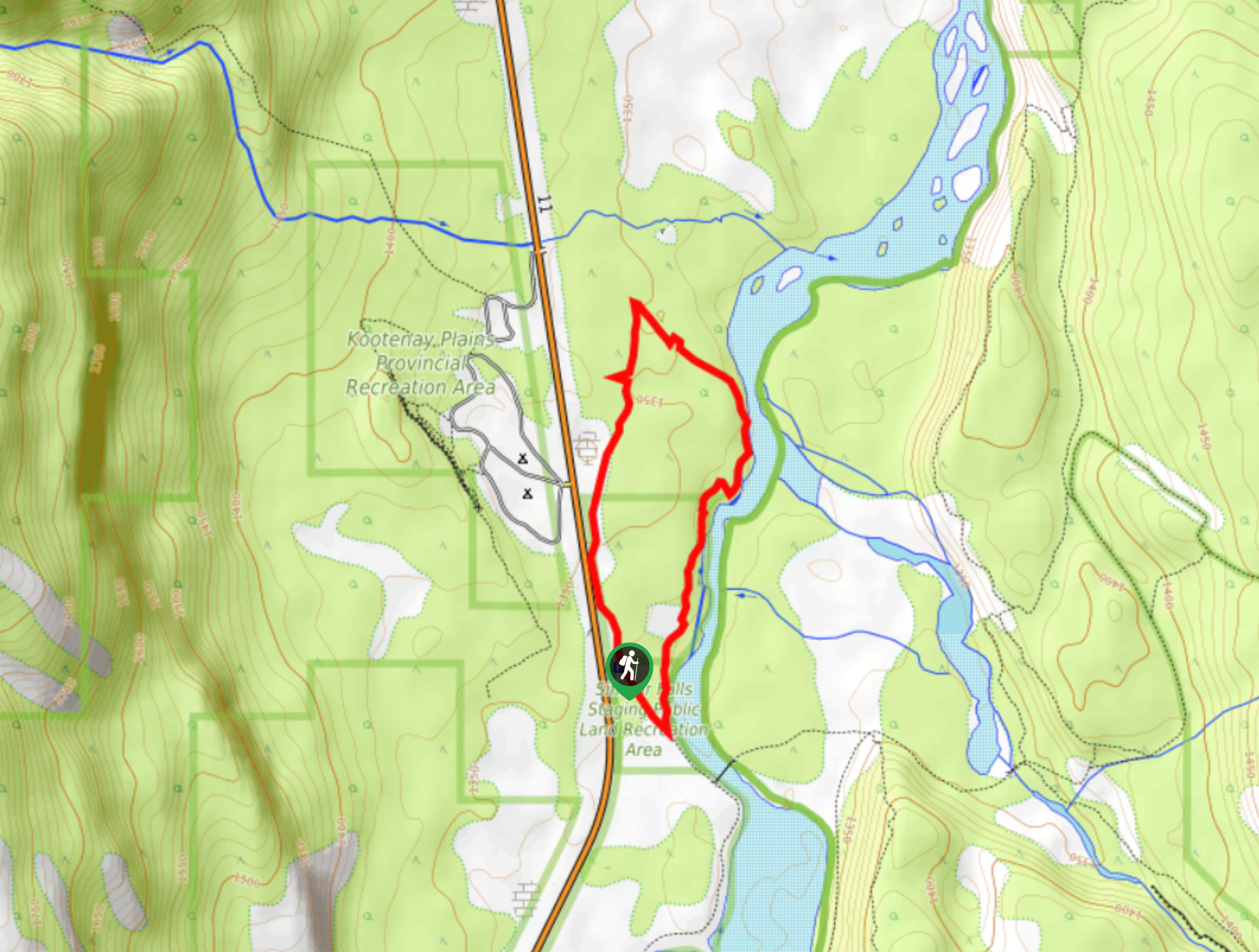
08. Siffleur Falls Trail
Difficulty
The out-and-back Siffleur Falls Trail is an excellent half- to full-day adventure (and possibly overnight).… Read More
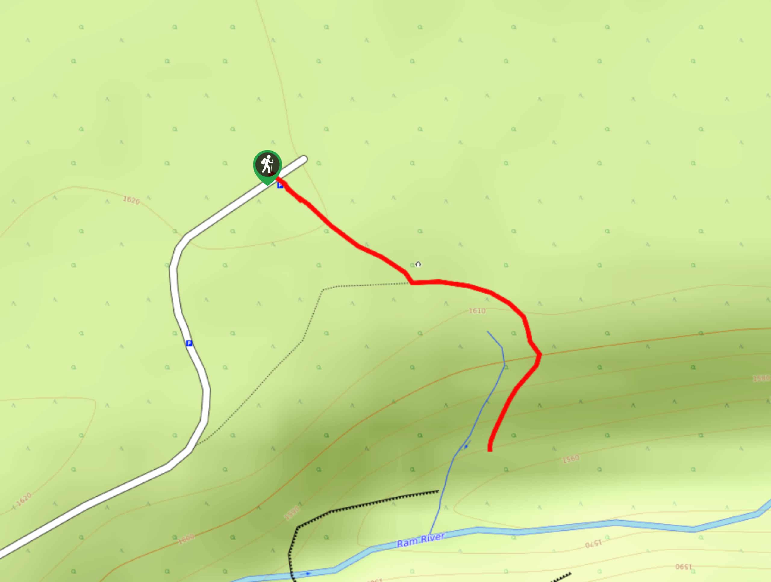
09. Ram Falls
Difficulty
The Ram Falls Trail is located in the central hub of Ram Falls Provincial Park,… Read More
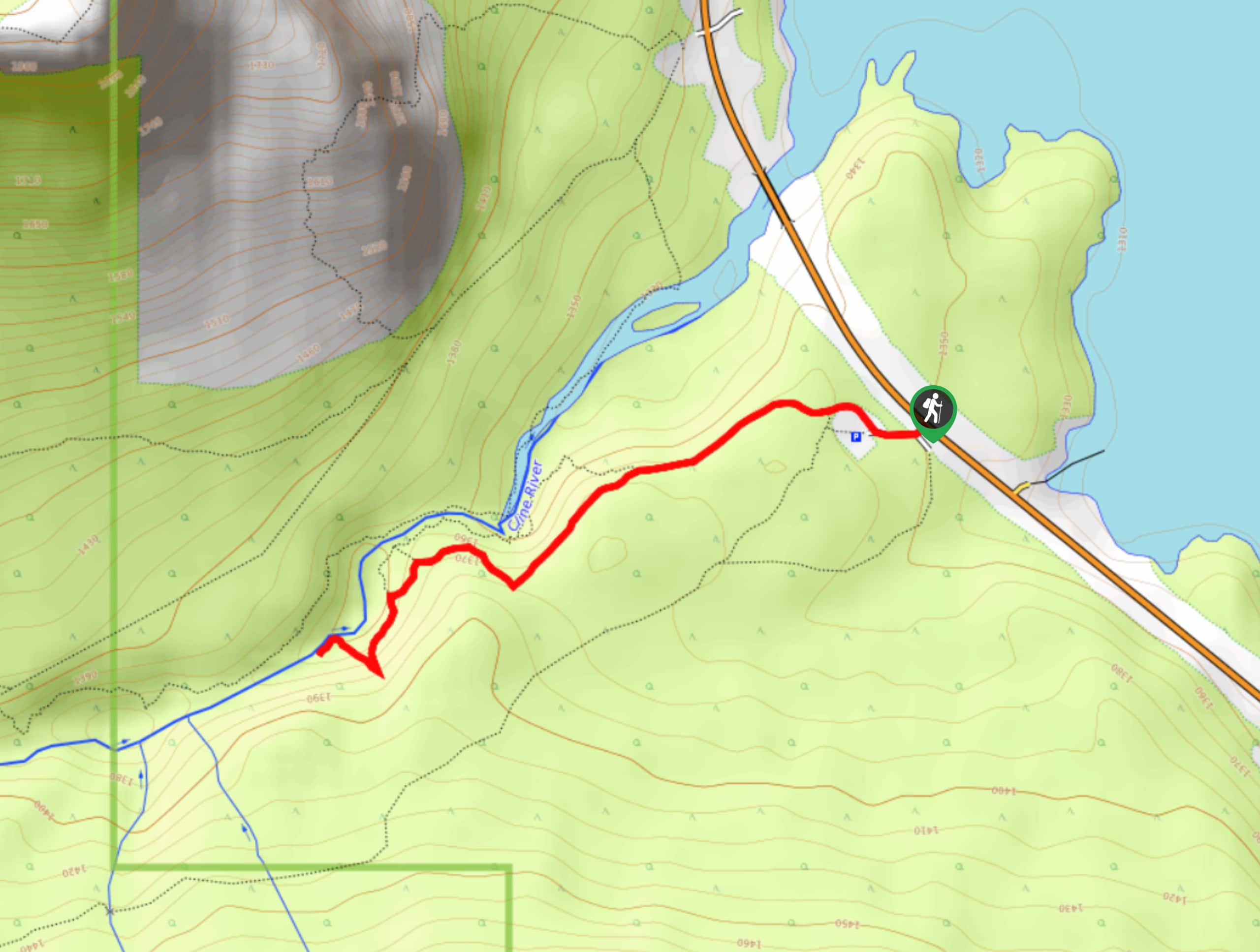
10. Cline River Falls Trail
Difficulty
Hiking to Cline River Falls follows a short and easy trail that leads up through… Read More
Yes, there are more than 10
David Thompson Country is so beautiful that we can not give you only 10 hikes. So here is a list of bonus hikes in David Thompson Country that you should take a look at as well
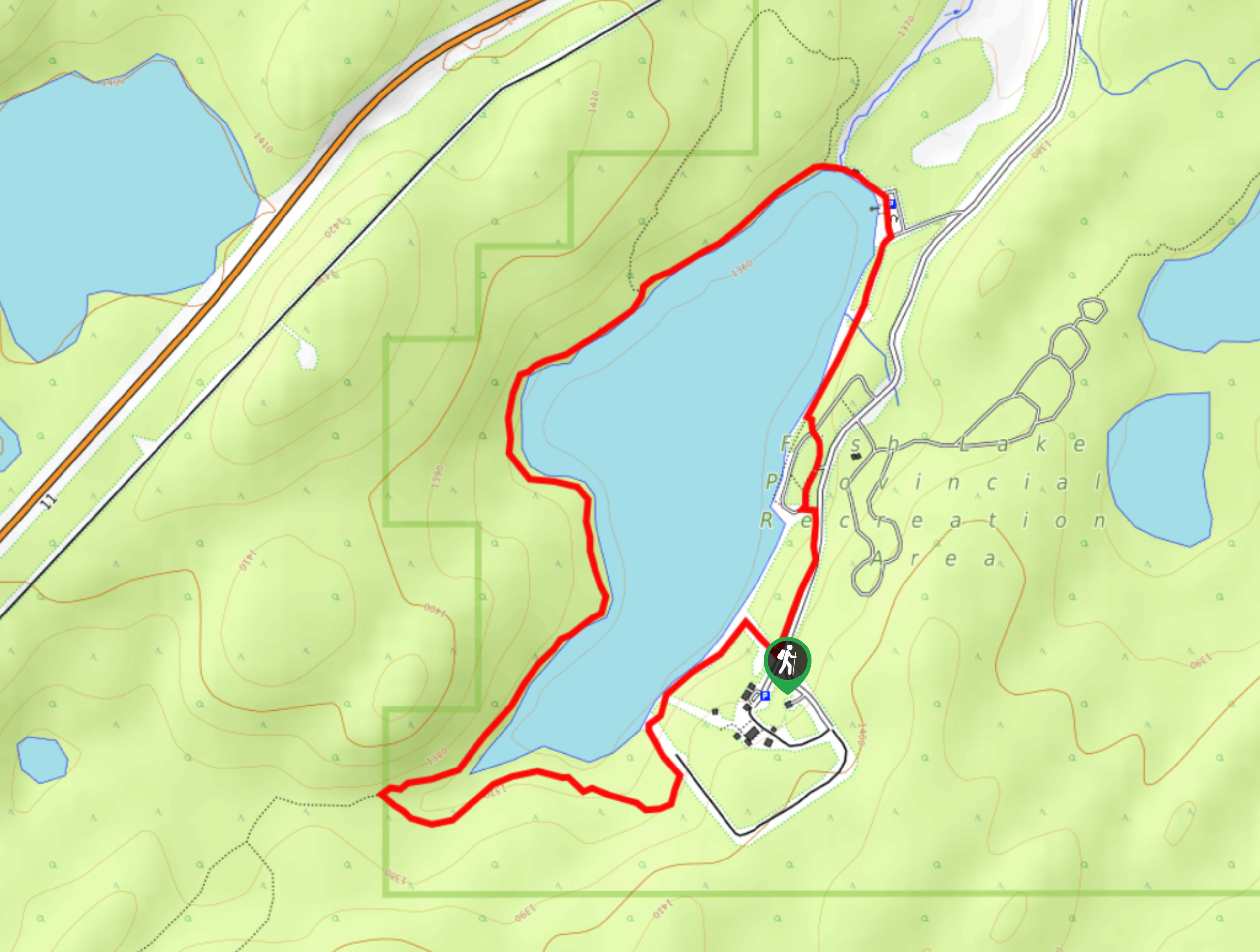
11. Fish Lake Trail
Difficulty
Hiking the Fish Lake Trail won’t take long, but it makes for the perfect family… Read More
12. Hoodoo Creek
Difficulty
Hiking Hoodoo Creek is very straightforward, but be warned—it’s extremely steep. This trail heads straight… Read More
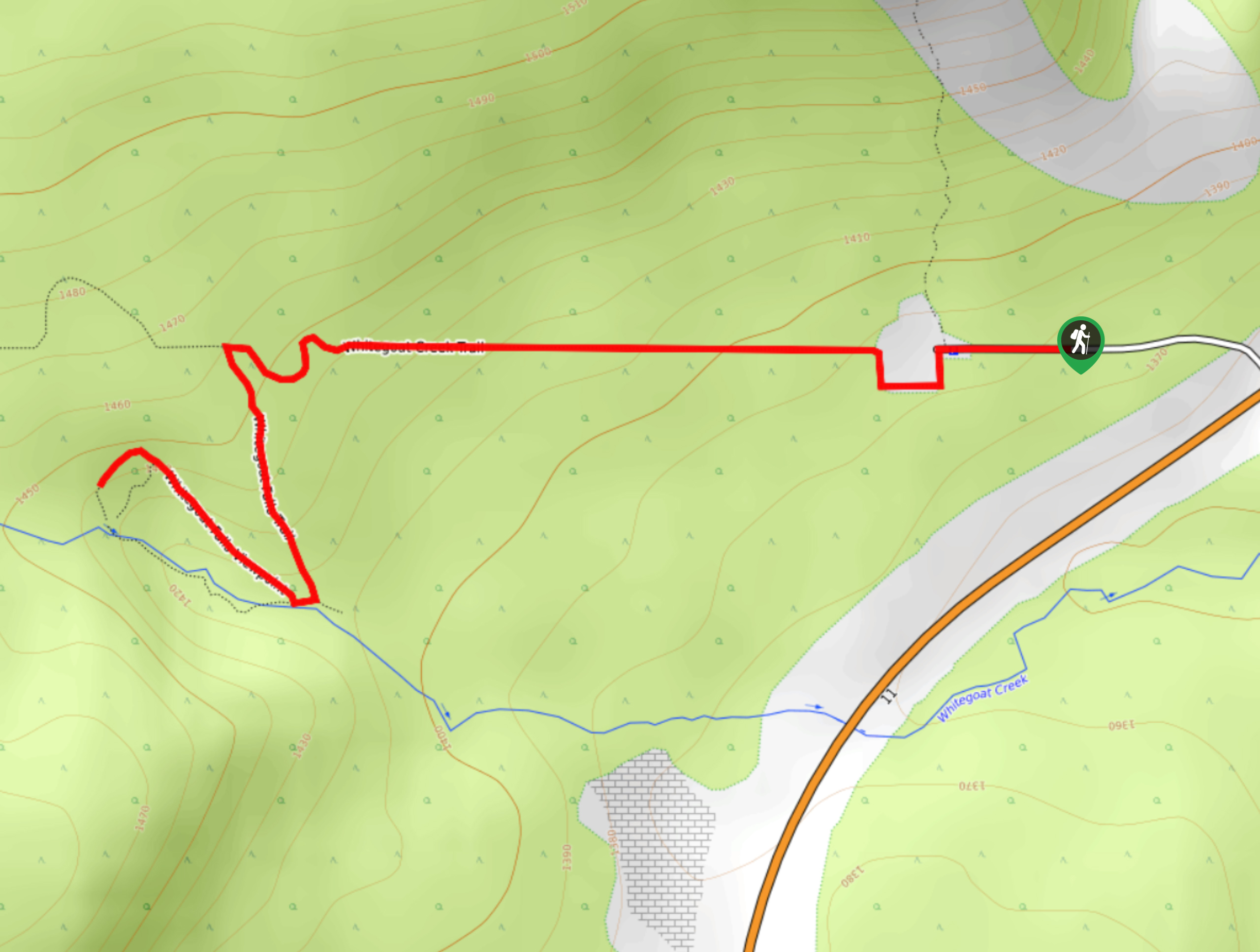
13. White Goat Falls
Difficulty
White Goat Falls is a beautiful hike that departs from the waste transfer station. The… Read More
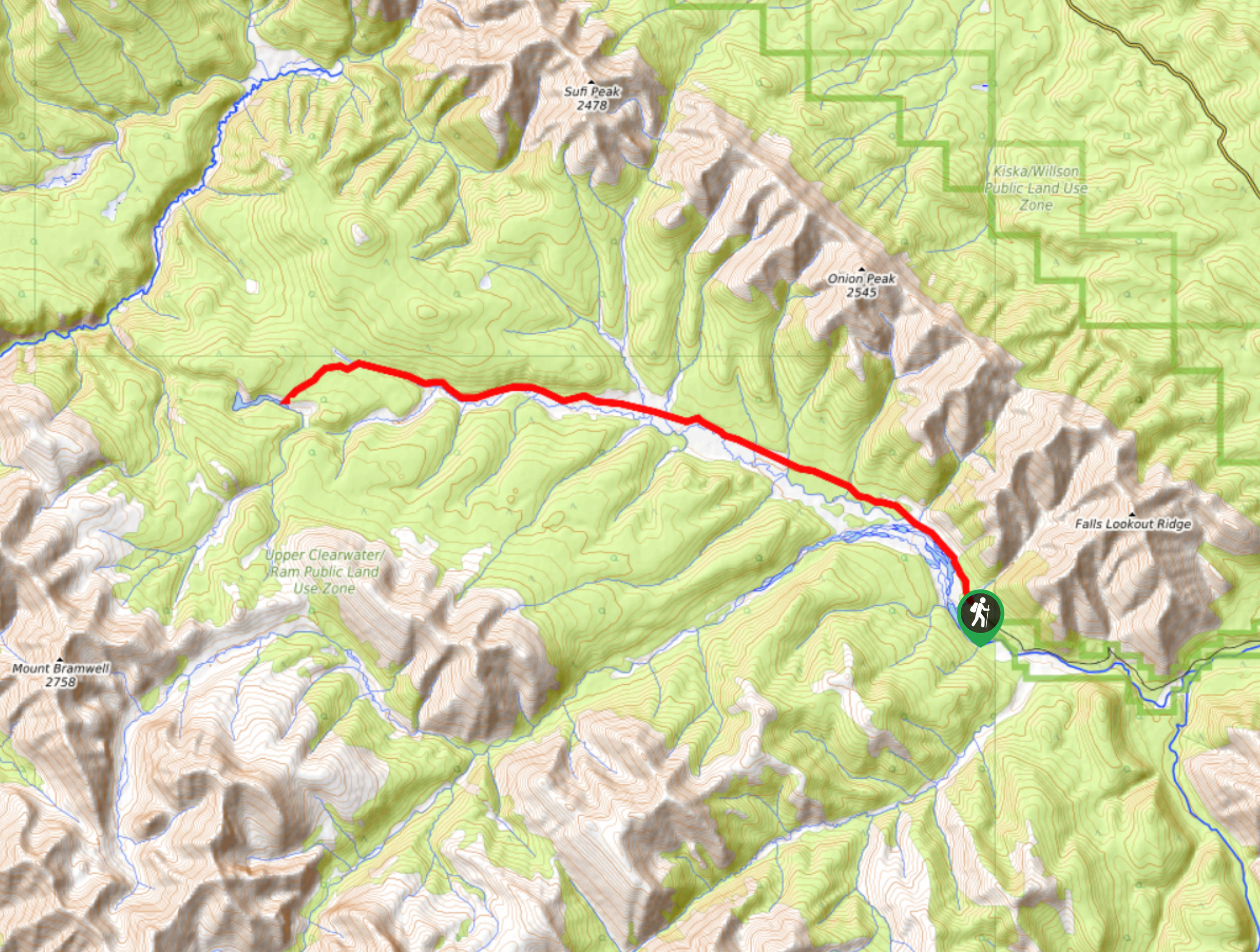
14. Onion Lake Trail
Difficulty
Onion Lake is a secluded subalpine lake that makes for a long day hike. The… Read More
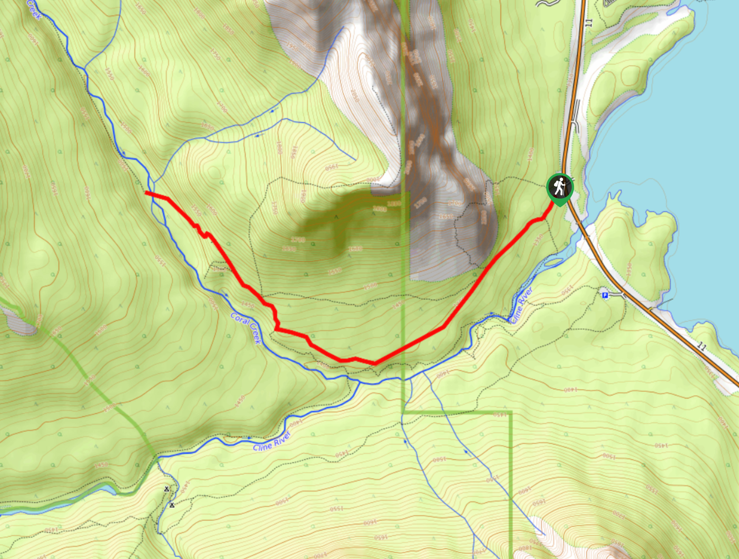
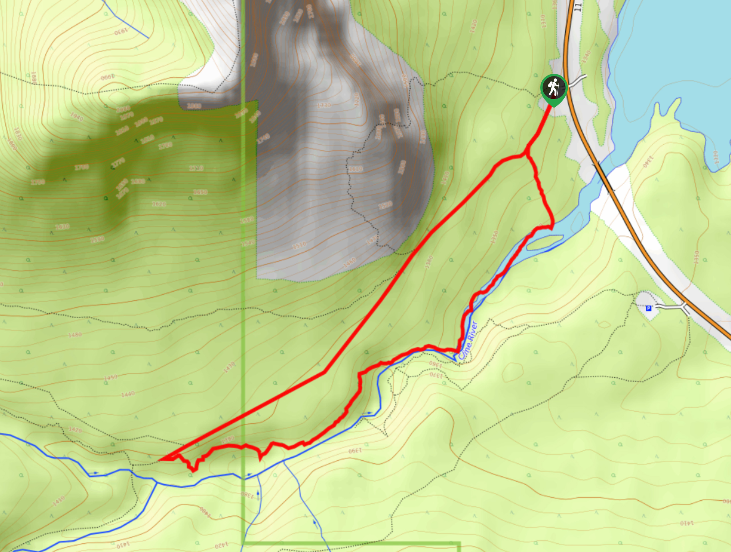
15. Coral Creek Trail
Difficulty
The trail up to Coral Creek begins along the Cline River. You can see the… Read More
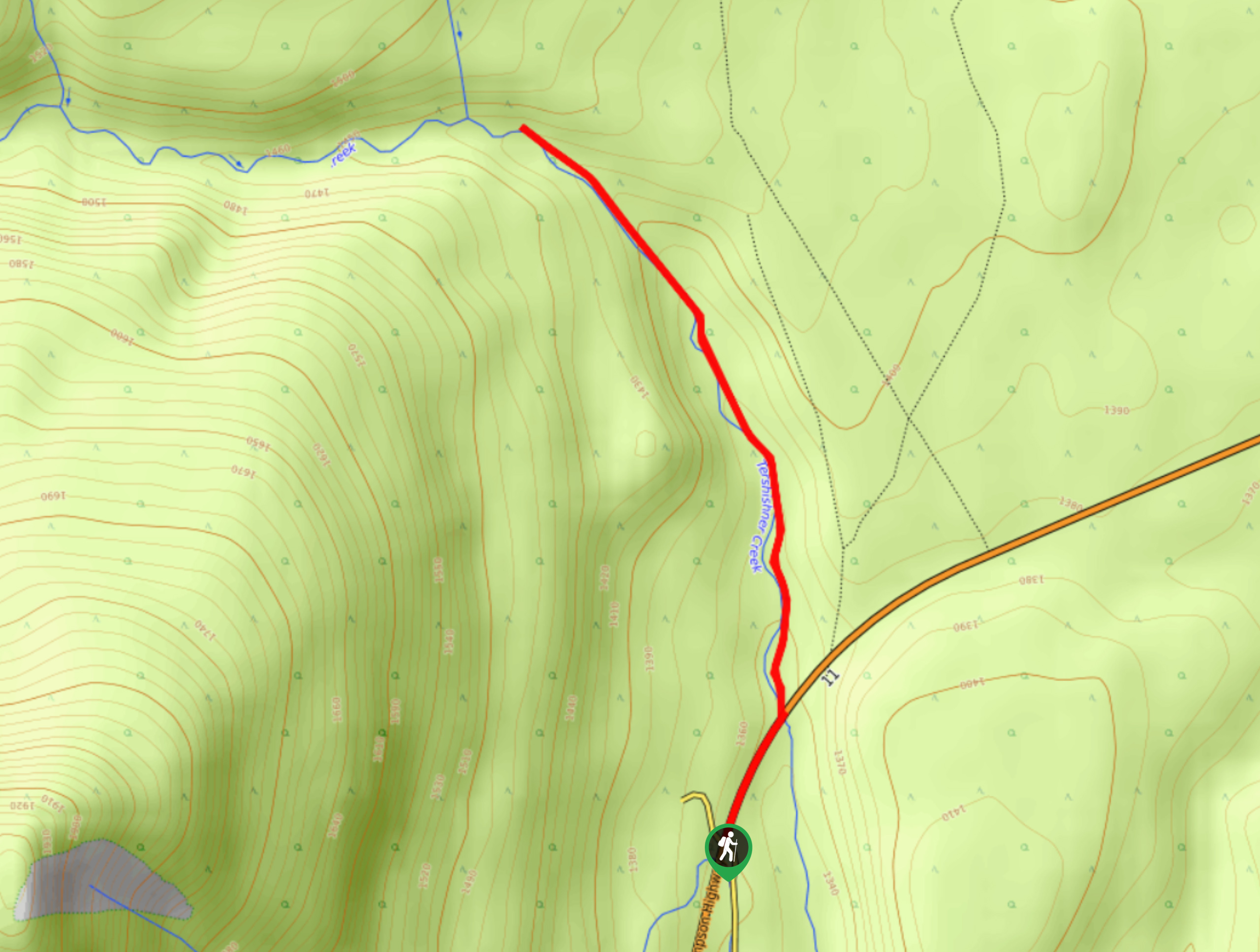
16. Tershishner Falls
Difficulty
Hike along Tershishner Creek to the humbling Tershishner Falls. The short and easy trail is… Read More
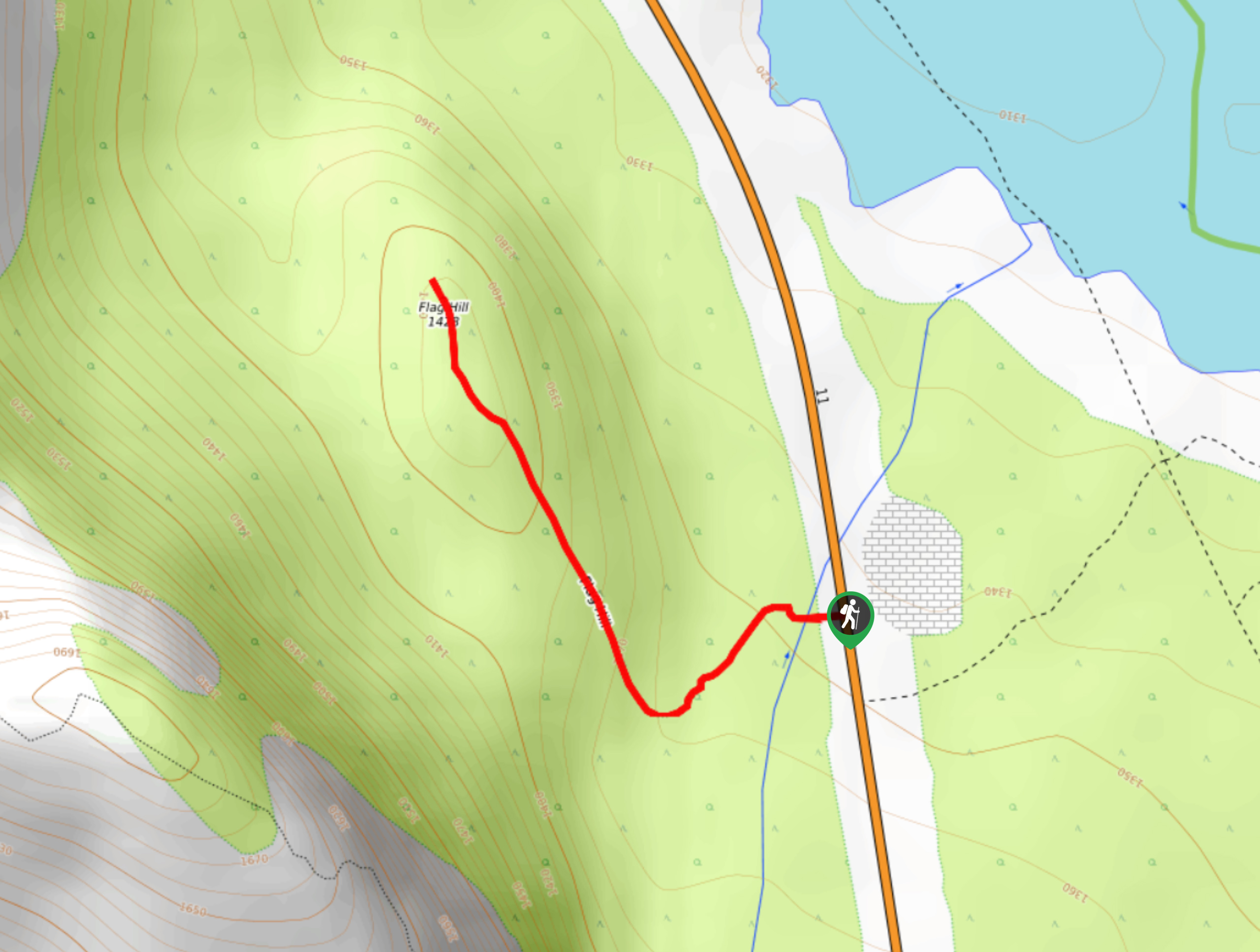
17. Flag Hill
Difficulty
Flag Hill Trail is a rewarding hike that could be considered an easy stroll. This… Read More
18. Coral Creek Canyon Trail
Difficulty
Hiking the Coral Creek Canyon Trail is a great way to spend a few hours… Read More
19. Black Canyon Creek Trail
Difficulty
The Black Canyon Creek Trail is a beautiful multi-use trail that begins along the Fish… Read More
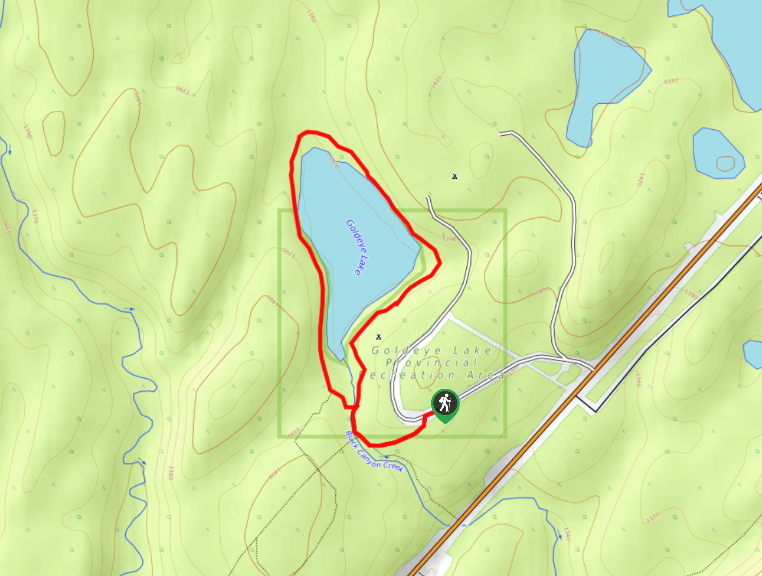
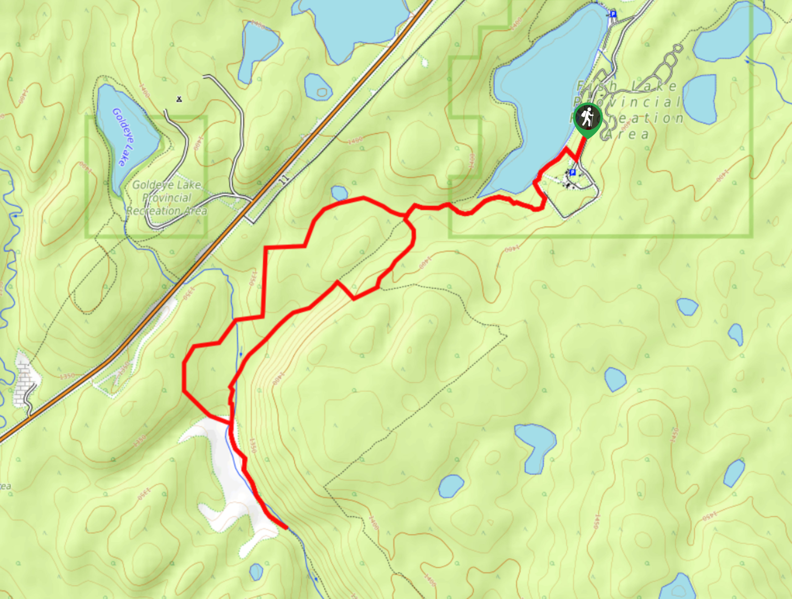
20. Goldeye Lake Trail
Difficulty
Across the highway from popular Fish Lake, Goldeye Lake sees less traffic and offers a… Read More
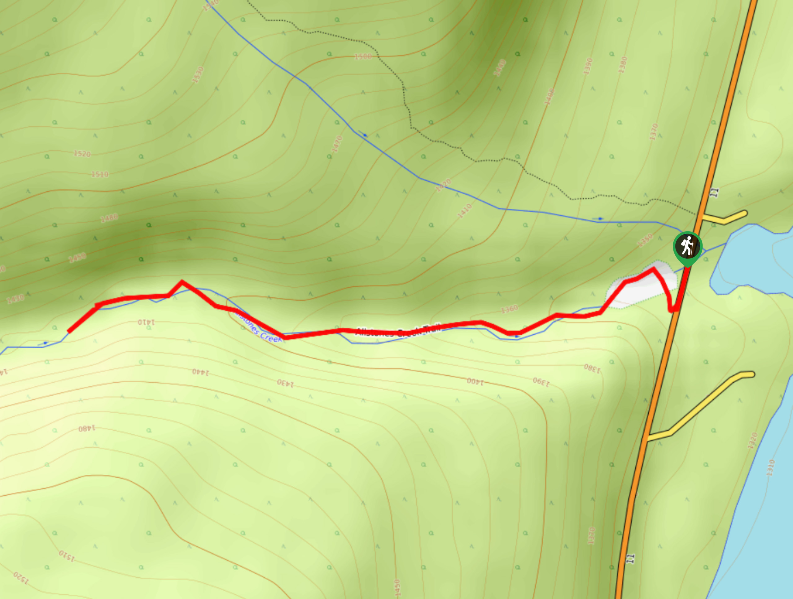
21. Allstones Creek Trail
Difficulty
Allstones Creek Trail is an out-and-back hike for all abilities. It’s flat, easy, and doesn’t… Read More
22. Loudon Creek
Difficulty
The trail up Loudon Creek leaves from the Siffleur Falls trailhead and crosses the Saskatchewan… Read More
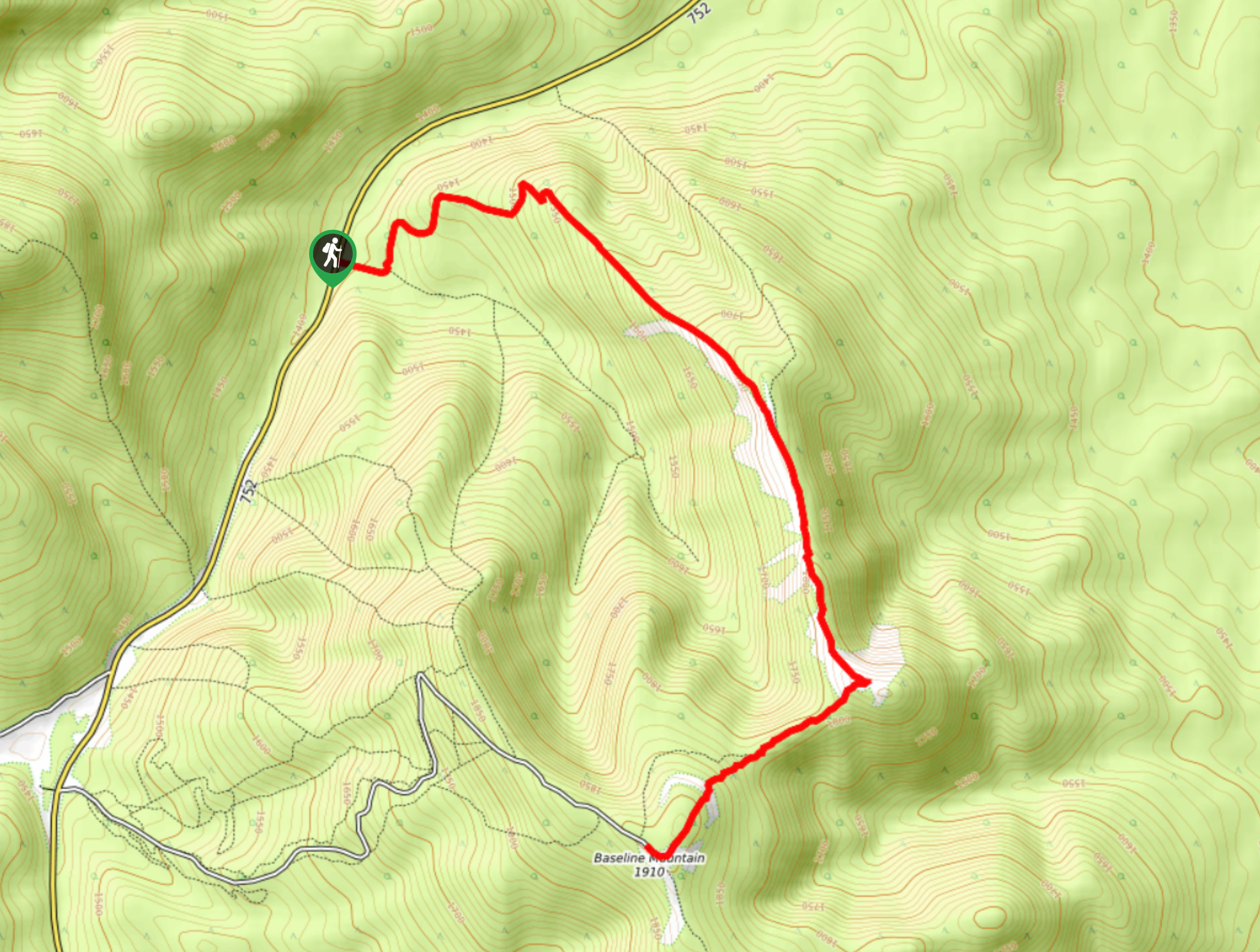
23. Old Baseline Lookout
Difficulty
Getting to the Old Baseline Lookout can be the hardest part as it involves a… Read More
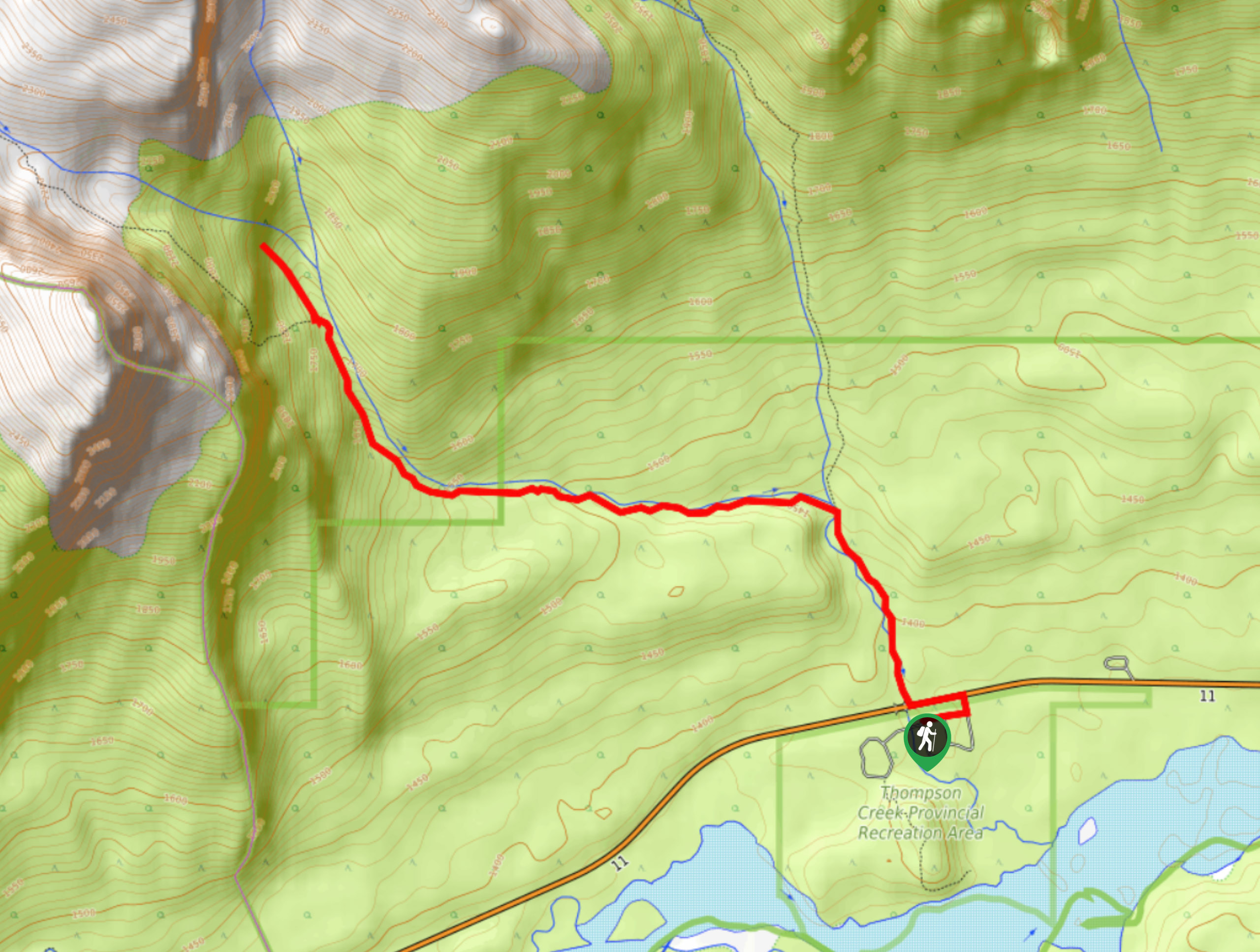
24. Thompson Creek Falls
Difficulty
The Thompson Creek Falls Hike follows the Mount Cline route until reaching the stellar waterfalls.… Read More
25. Kinglet Lake Trail
Difficulty
Kinglet Lake is a beautiful destination in the heart of David Thompson Country. It’s an… Read More
26. East Bush Falls
Difficulty
The East Bush Falls Loop is a quiet loop along a multi-use trail that leads… Read More
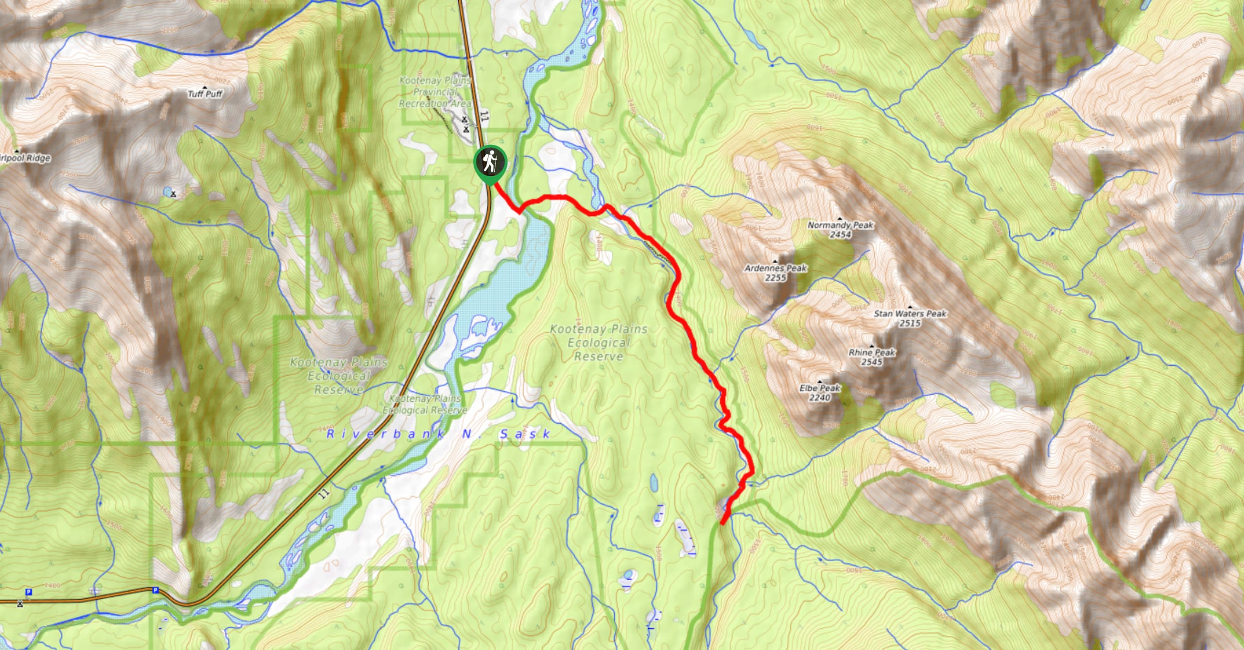
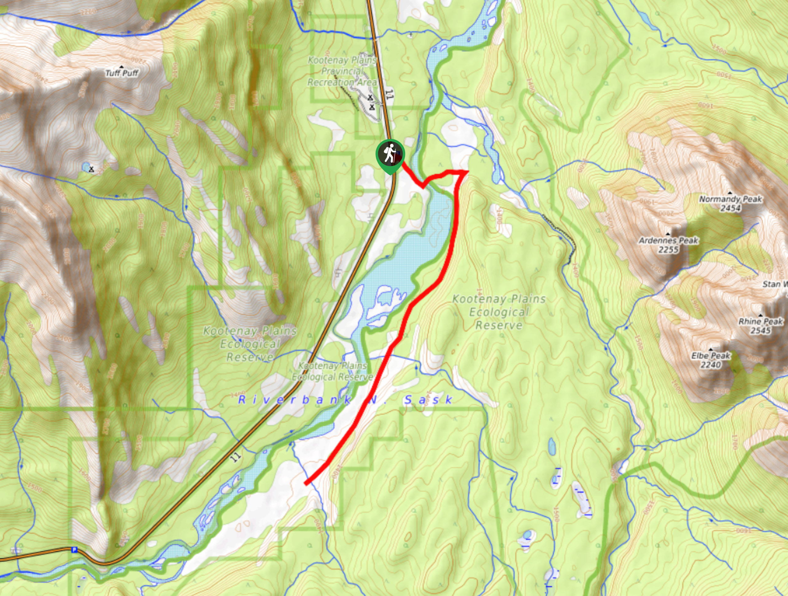
27. Kootenay Plains Heritage Trail
Difficulty
Take in some history on the Kootenay Plains Heritage Trail. The trail travels through the… Read More
28. Whirlpool Point
Difficulty
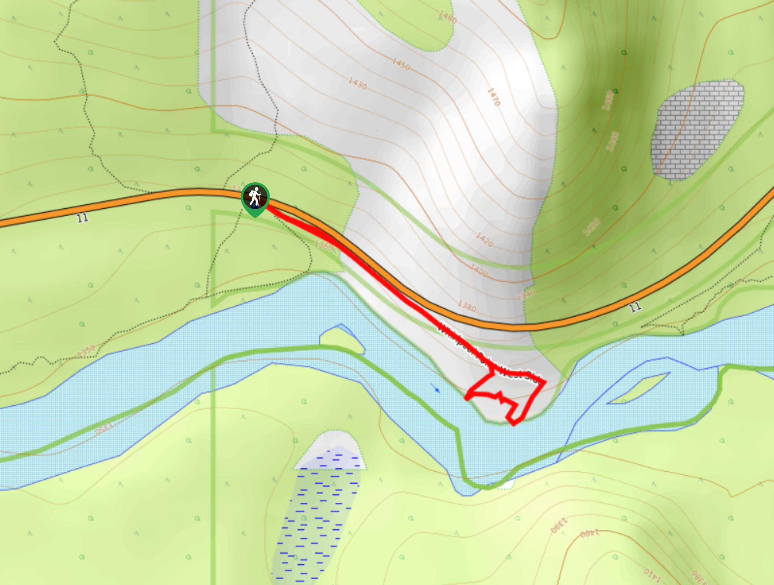
The hike to Whirlpool Point is a beautiful stroll up the North Saskatchewan River. The… Read More
29. Paula’s Ridge Hike
Difficulty
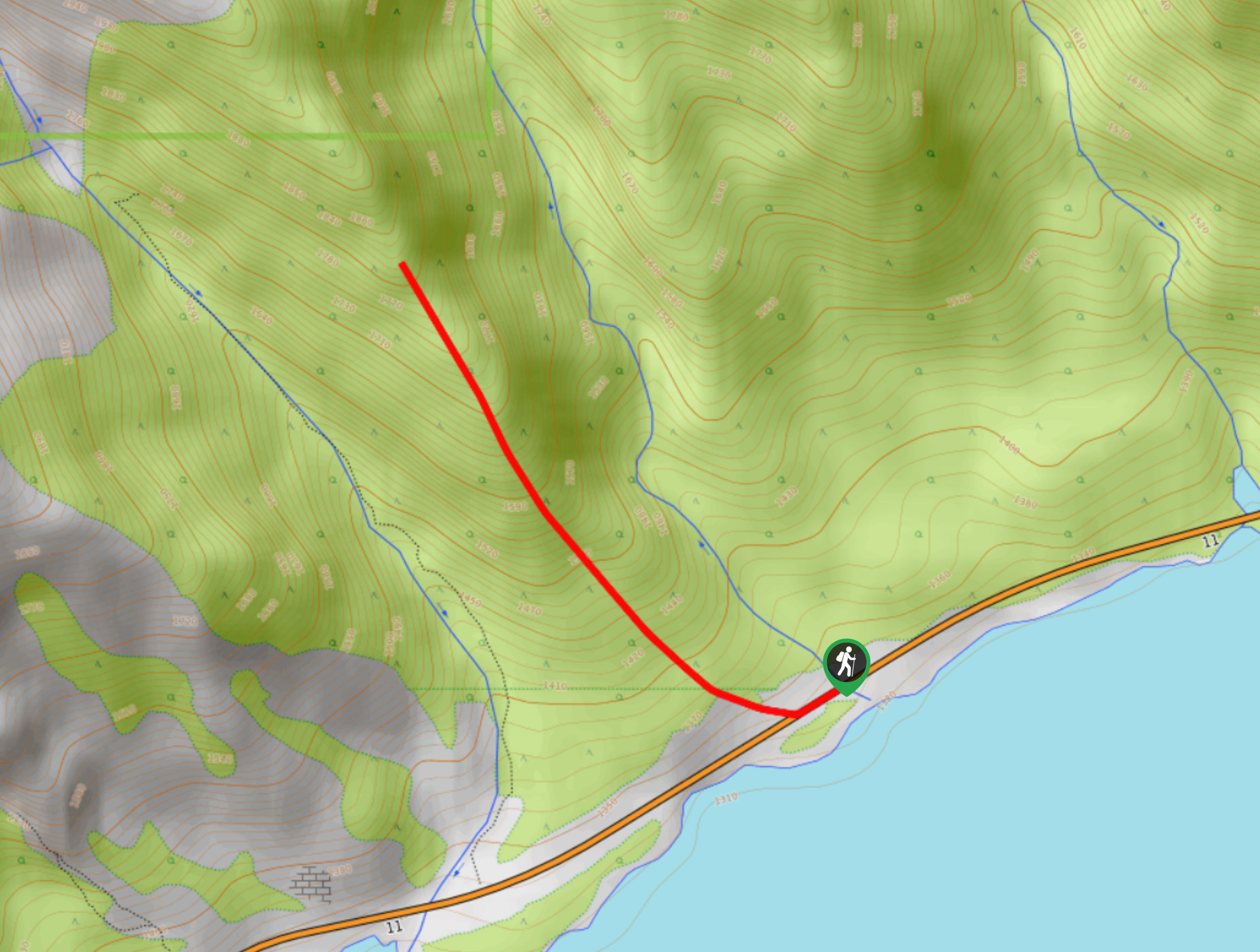
Paula’s Ridge Hike is just east of Mount Abraham and offers incredible views of Abraham… Read More
30. Marble Mountain Hike
Difficulty
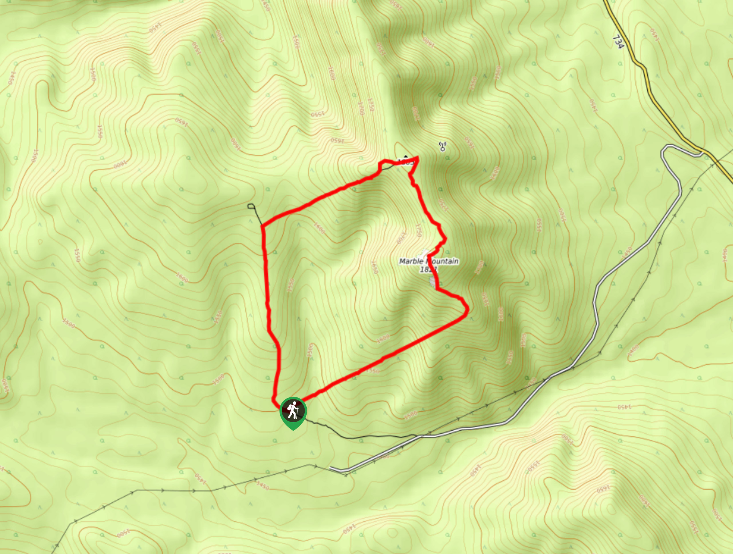
Getting to the Marble Mountain trailhead can be tricky and out of the way, but… Read More
Are we missing your favourite hike?
Tell us! If you've got photos, a GPS track and know the hike, we'd love to share your favourite hike with the rest of the 10Adventures community.