
Cline River Falls Trail
View Photos
Cline River Falls Trail
Difficulty Rating:
Hiking to Cline River Falls follows a short and easy trail that leads up through the must-see Cline River Canyon to the waterfalls. It requires little effort to reach as you hike for a short distance right off the highway. If you’re coming or going from camping in central Nordegg, this is the perfect trail. You’ll see some incredible natural beauty in just a short trip.
Getting there
To get to Cline River Falls trailhead, begin at Saskatchewan River Crossing and travel eastbound on Highway 11. Travel 26.1mi before reaching the Pinto Lake staging area, where the trailhead is.

About
| When to do | May–September |
| Backcountry Campsites | No |
| Pets allowed | Yes - On Leash |
| Family friendly | Yes |
| Route Signage | Average |
| Crowd Levels | Moderate |
| Route Type | Out and back |
Cline River Falls Trail
Elevation Graph
Weather
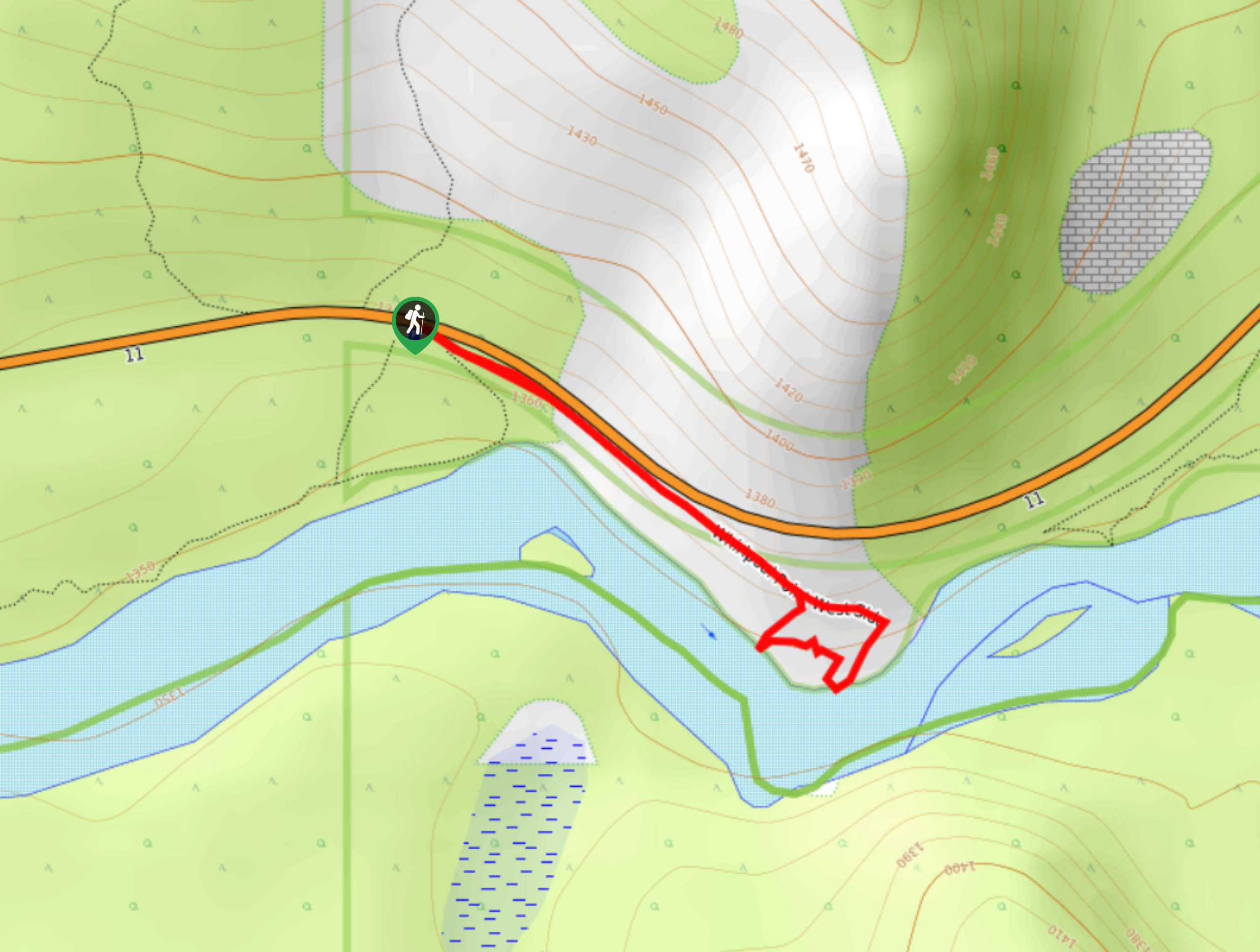
Cline River Falls Hike Description
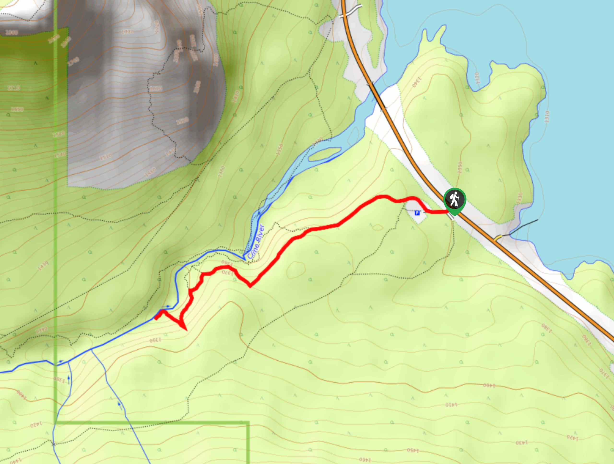
The Cline River Falls hike begins like some other hikes in the region, on a trail heading upstream and into a canyon. This trail does have some unofficial sections that are not as well maintained as other areas. The trail can be bumpy and rough in sections when it veers off the main trail towards the falls.
We highly recommend choosing this trail when visiting the David Thompson Highway region. It’s so close to the highway and doesn’t require much effort. Many hikes in the area have similar rewards; however, if you’re planning to camp near the Cline River, be sure to check out the Cline River Falls.
From the north end of the parking lot, find the trail on the right and begin your hike. This is the Cline River Canyon trail, and it’s easy to follow despite a few small junctions leading over to the river before the canyon. Stay on the looker’s left side of the river as you make your way along the trail. It begins with a small ascent, followed by a flat, forested area. There may be flagging tape marking the route, otherwise, it is a well-beaten path.
When you reach the viewpoint, you will need to join a small side trail on the right. It leads down a hill towards the falls. After you’ve enjoyed the destination, head back the way you came to complete your hike.
Similar hikes to the Cline River Falls Trail hike
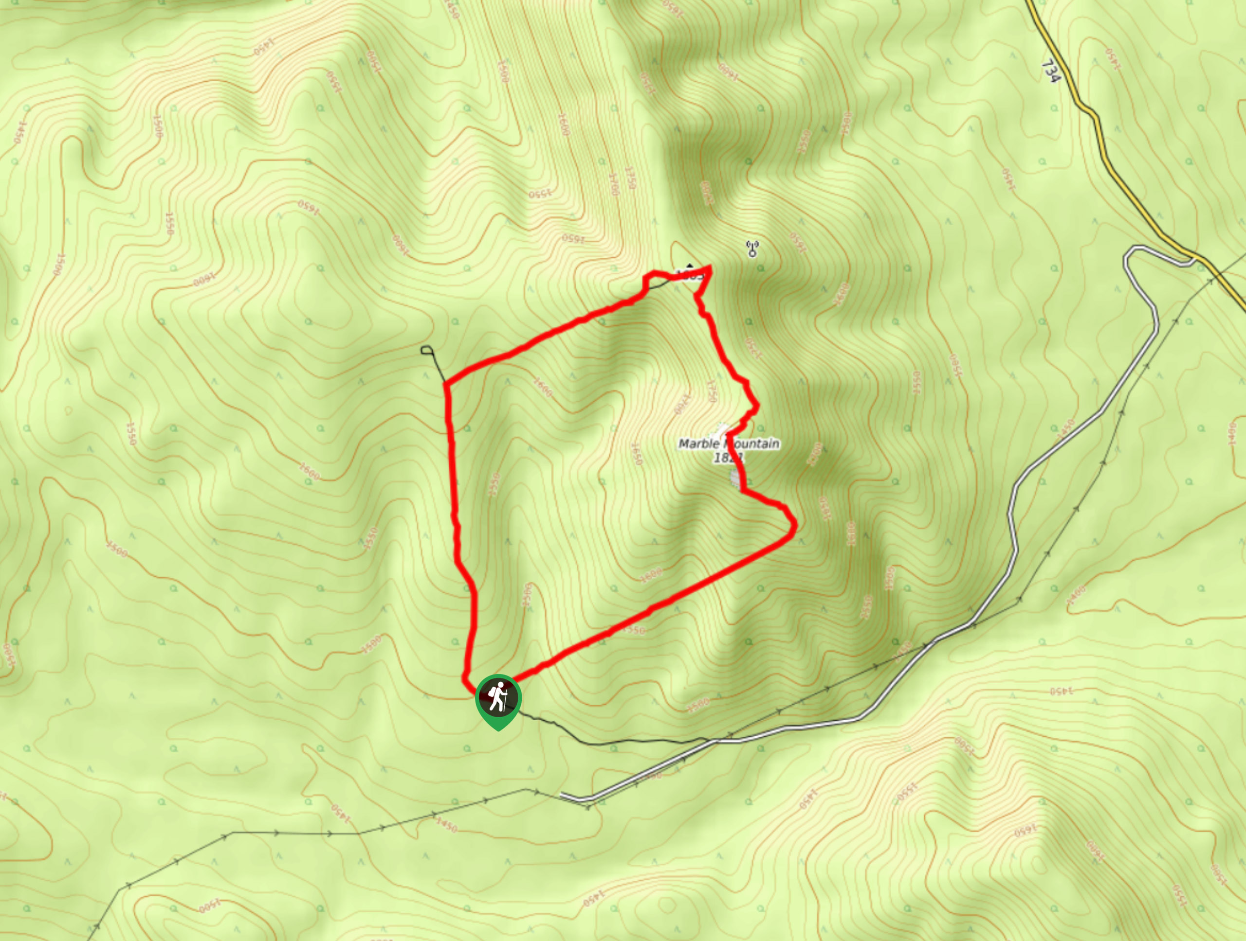
Marble Mountain Hike
Getting to the Marble Mountain trailhead can be tricky and out of the way, but this remote trail is sure…
Paula’s Ridge Hike
Paula’s Ridge Hike is just east of Mount Abraham and offers incredible views of Abraham Lake. If you are looking…
Whirlpool Point
The hike to Whirlpool Point is a beautiful stroll up the North Saskatchewan River. The trail is close to Saskatchewan…
Comments